Showing Featured Lots(remove filter)
Filtered by Category:Atlantic & Arctic(Show All Categories)
Catalog Archive
170 lots
Page 1 of 4
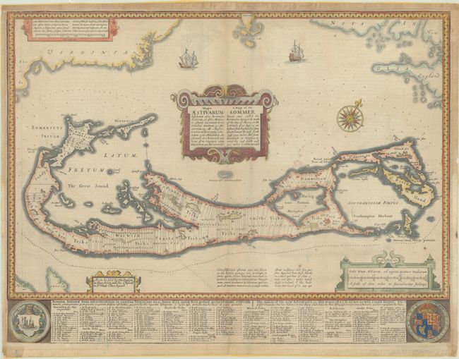
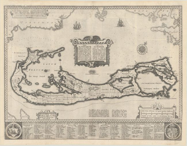
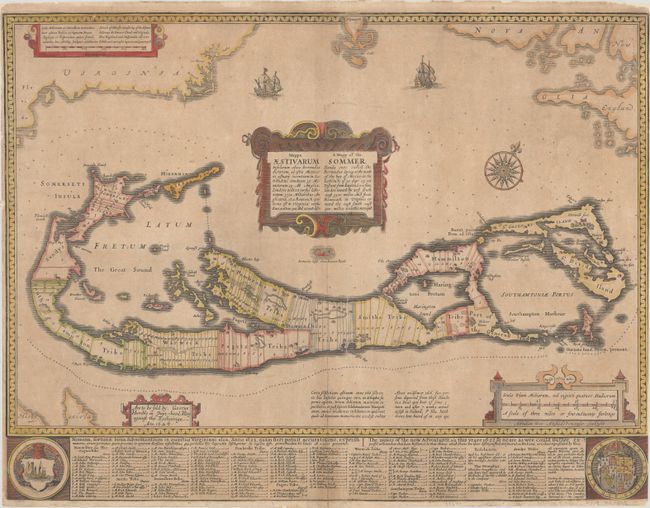
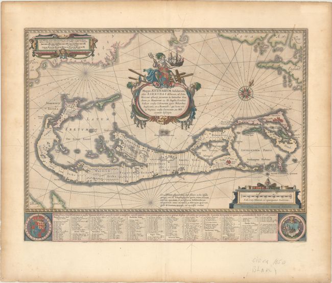
Auction 206, Lot 367
Subject: Bermuda
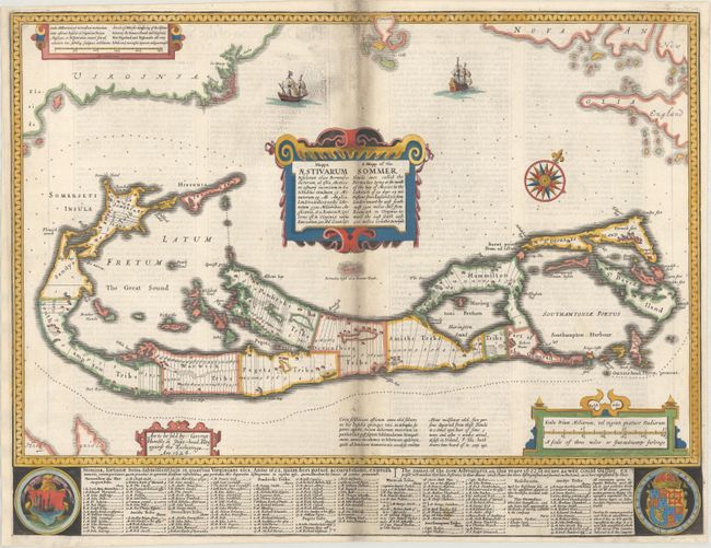
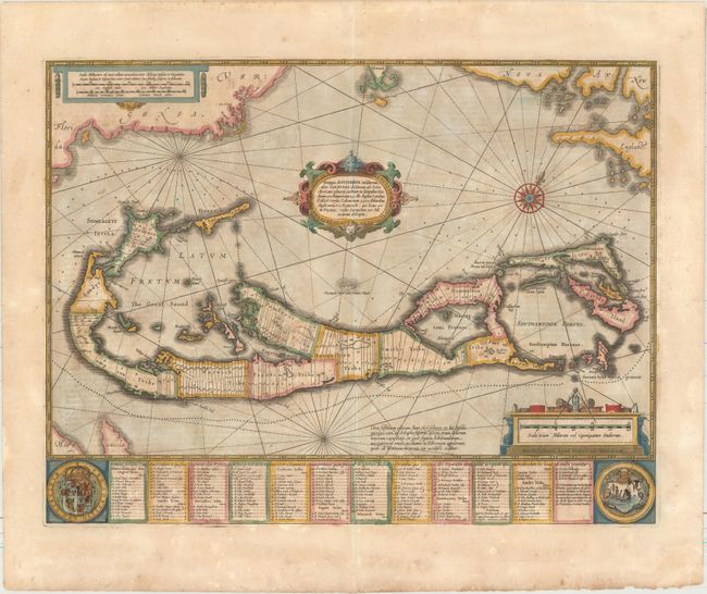
Speed, John
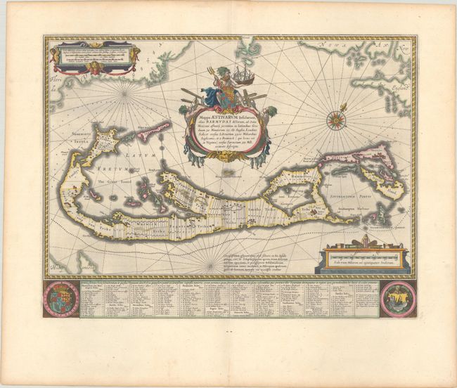
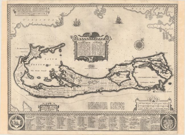
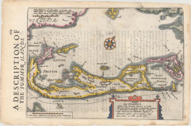
Mappa Aestivarum Insularum Alias Bermudas Dictarum... / A Mapp of the Sommer Islands Once Called the Bermudas..., 1676
Size: 21.1 x 15.9 inches (53.6 x 40.4 cm)
Estimate: $1,100 - $1,400
Speed's Foundation Map of Bermuda
Unsold
Closed on 11/12/2025
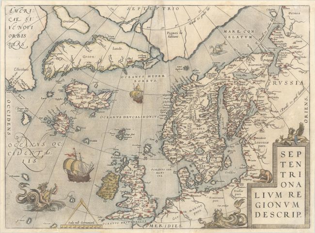
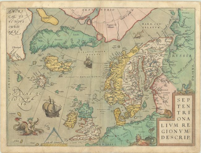
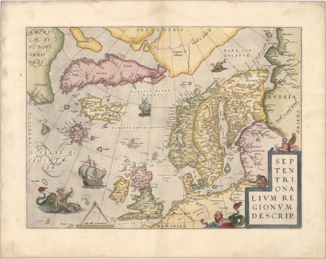
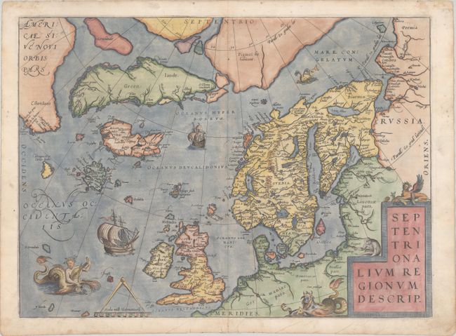
Auction 205, Lot 360
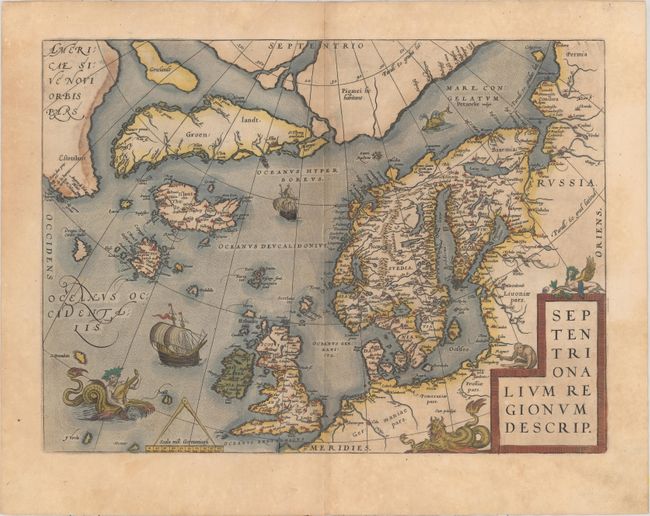
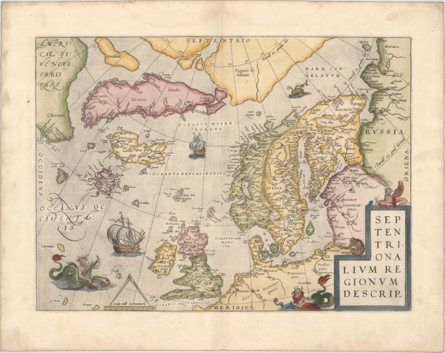
Subject: Arctic & Northern Europe
Ortelius, Abraham
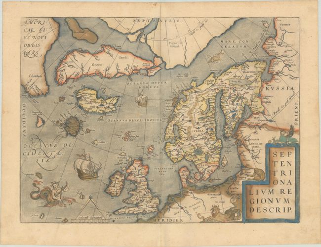
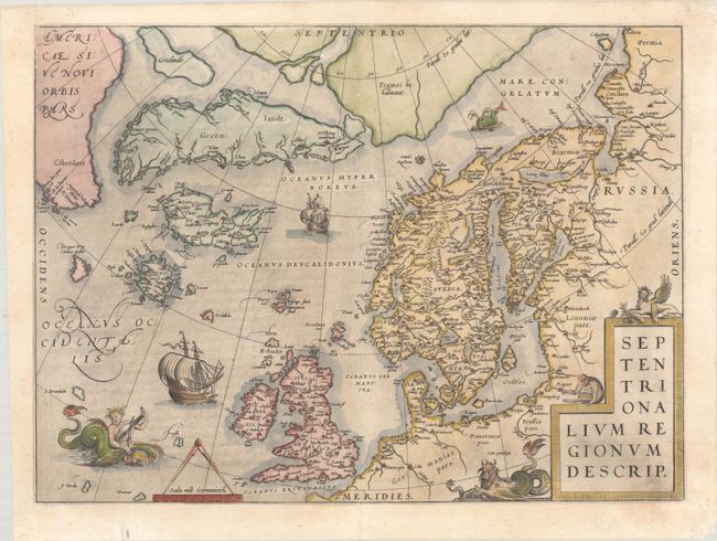
Septentrionalium Regionum Descrip., 1584
Size: 19.5 x 14.3 inches (49.5 x 36.3 cm)
Estimate: $2,000 - $2,300
Ortelius' Exquisite Map of the Arctic with Mythical Islands
Sold for: $1,000
Closed on 9/10/2025
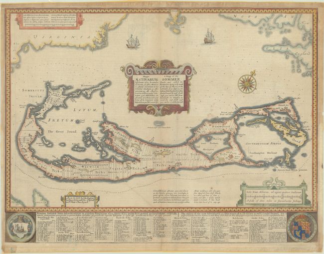
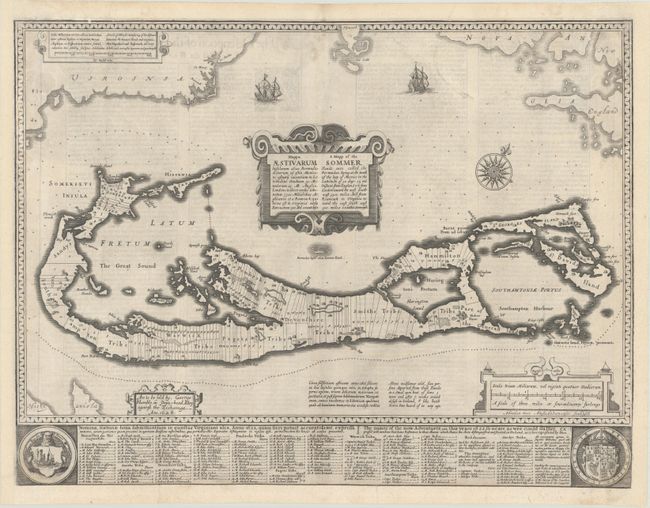
Auction 204, Lot 319
Subject: Bermuda
Speed, John
Mappa Aestivarum Insularum Alias Bermudas Dictarum... / A Mapp of the Sommer Islands Once Called the Bermudas..., 1676
Size: 21.1 x 15.9 inches (53.6 x 40.4 cm)
Estimate: $1,200 - $1,500
Speed's Foundation Map of Bermuda
Unsold
Closed on 6/18/2025
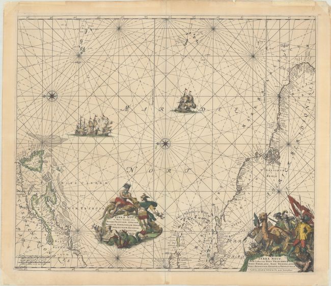
Auction 199, Lot 359
Subject: North Atlantic
Wit, Frederick de
Terra Nova, ac Maris Tractus Circa Novam Franciam, Angliam, Belgium, Venezuelam Novam Andalusiam, Guianam, et Brasiliam / Terra Neuf, en de Custen van Nieu Vranckyck, Nieu Engeland, Nieu Nederland, Nieu Andalusia, Guiana en Venezuela, 1695
Size: 21.9 x 18.9 inches (55.6 x 48 cm)
Estimate: $1,400 - $1,700
Magnificent Decorative Chart of the Western Atlantic, with a Fascinating Provenance
Sold for: $1,000
Closed on 9/11/2024
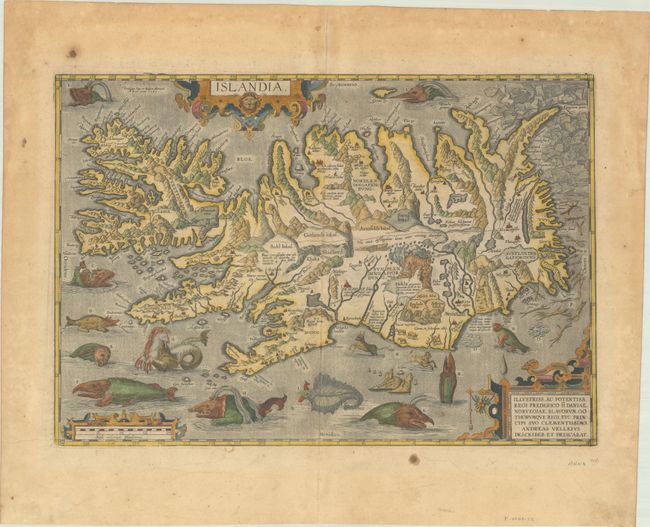
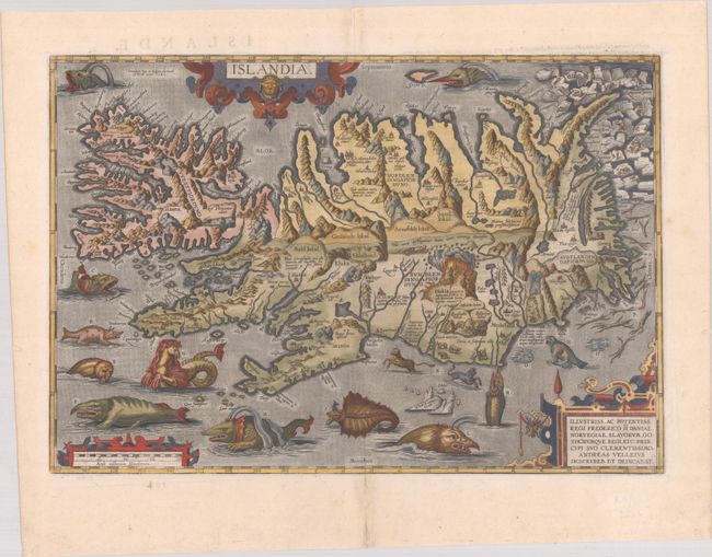
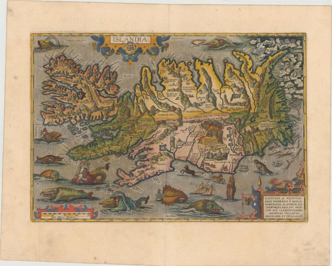
Auction 199, Lot 361
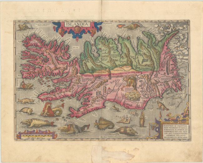
Subject: Iceland
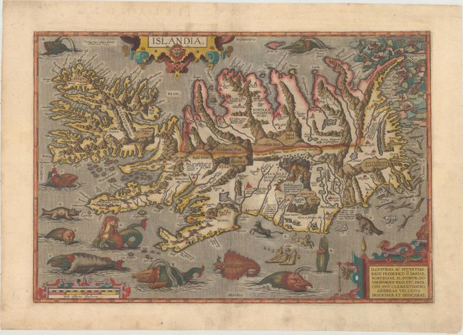
Ortelius, Abraham
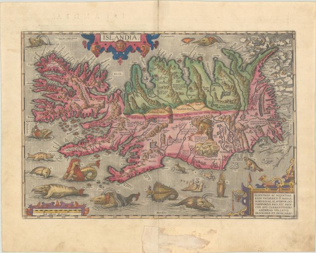
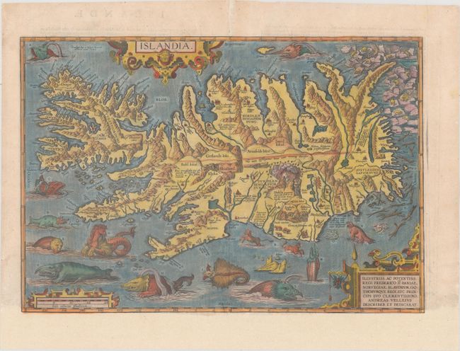
Islandia, 1585
Size: 19.4 x 13.3 inches (49.3 x 33.8 cm)
Estimate: $9,500 - $12,000
One of Ortelius' Most Decorative Maps in Full Contemporary Color
Sold for: $10,500
Closed on 9/11/2024
Auction 198, Lot 333
Subject: Arctic & Northern Europe
Ortelius, Abraham
Septentrionalium Regionum Descrip., 1579
Size: 19.4 x 14.3 inches (49.3 x 36.3 cm)
Estimate: $2,300 - $2,750
Early Example of Ortelius' Map of the Arctic with Mythical Islands in Contemporary Color
Sold for: $1,700
Closed on 6/19/2024
Auction 197, Lot 395
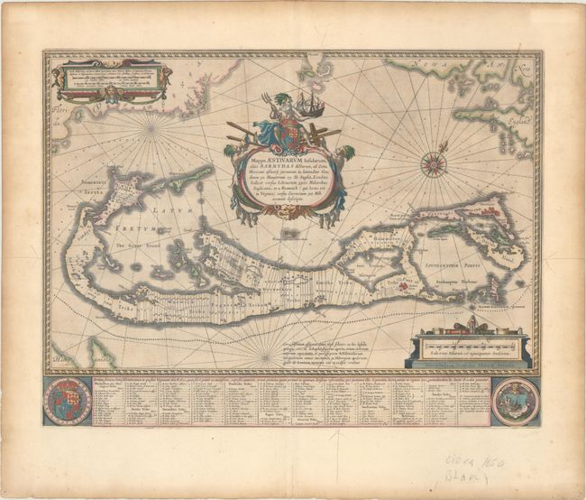
Subject: Bermuda
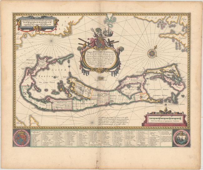
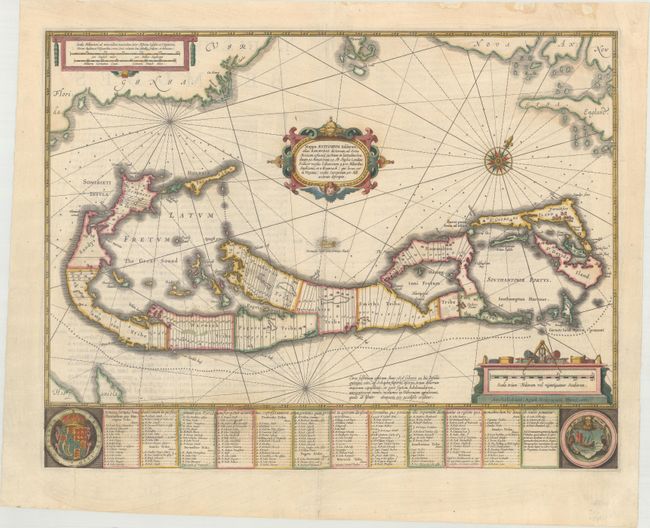
Blaeu, Willem
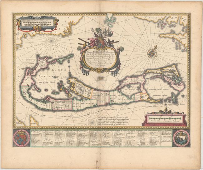
Mappa Aestivarum Insularum, Alias Barmudas Dictarum, ad Ostia Mexicani Aestuary..., 1642
Size: 21 x 15.9 inches (53.3 x 40.4 cm)
Estimate: $1,600 - $1,900
Map of Bermuda Based on Richard Norwood's Famous Survey in Full Contemporary Color
Sold for: $900
Closed on 4/24/2024
Auction 197, Lot 397
Subject: North Atlantic
Bry, Johann Theodore de
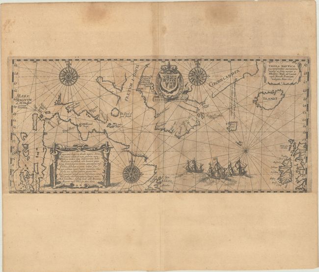
Tabula Nautica, qua Repraesentatur Orae Maritimae Meatus, ac Freta, Noviter a H Hudsono Anglo ad Caurum Supra Novam Franciam Indagata Anno 1612, 1613
Size: 13.1 x 5.9 inches (33.3 x 15 cm)
Estimate: $1,400 - $1,700
De Bry's Scarce and Decorative Chart Showing Hudson's Search for a Northwest Passage
Sold for: $1,900
Closed on 4/24/2024
Auction 196, Lot 360
Subject: Bermuda
Speed, John
Mappa Aestivarum Insularum Alias Bermudas Dictarum... / A Mapp of the Sommer Islands Once Called the Bermudas..., 1626
Size: 20.8 x 15.8 inches (52.8 x 40.1 cm)
Estimate: $1,200 - $1,500
Speed's Foundation Map of Bermuda
Sold for: $1,400
Closed on 2/7/2024
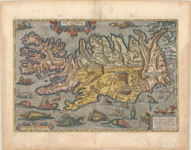
Auction 196, Lot 363
Subject: Iceland
Ortelius, Abraham
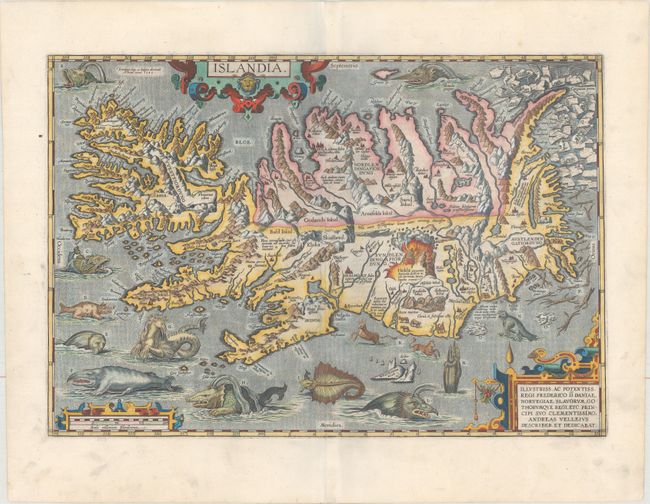
Islandia, 1585
Size: 19.4 x 13.3 inches (49.3 x 33.8 cm)
Estimate: $9,500 - $12,000
One of Ortelius' Most Decorative Maps
Sold for: $8,000
Closed on 2/7/2024
Auction 194, Lot 370
Subject: Bermuda
Speed, John
Mappa Aestivarum Insularum Alias Bermudas Dictarum... / A Mapp of the Sommer Islands Once Called the Bermudas..., 1626
Size: 20.8 x 15.8 inches (52.8 x 40.1 cm)
Estimate: $1,600 - $1,900
Speed's Foundation Map of Bermuda
Unsold
Closed on 9/13/2023
Auction 194, Lot 378
Subject: Arctic & Northern Europe
Ortelius, Abraham
Septentrionalium Regionum Descrip., 1572
Size: 19.4 x 14.3 inches (49.3 x 36.3 cm)
Estimate: $2,300 - $2,750
Early Example of Ortelius' Map of the Arctic with Mythical Islands in Contemporary Color
Sold for: $2,300
Closed on 9/13/2023
Auction 194, Lot 380
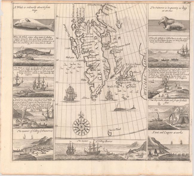
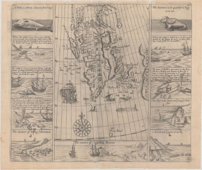
Subject: Spitsbergen
Purchas, Samuel
[Greneland], 1704
Size: 12.8 x 11.4 inches (32.5 x 29 cm)
Estimate: $950 - $1,200
Important Whaling Map of Spitsbergen
Sold for: $650
Closed on 9/13/2023
Auction 193, Lot 387
Subject: Iceland
Ortelius, Abraham
Islandia, 1585
Size: 19.4 x 13.3 inches (49.3 x 33.8 cm)
Estimate: $9,500 - $12,000
One of Ortelius' Most Decorative Maps in Full Contemporary Color
Unsold
Closed on 6/21/2023
Auction 193, Lot 391
Subject: Spitsbergen
Purchas, Samuel
[Greneland], 1625
Size: 13.1 x 11.6 inches (33.3 x 29.5 cm)
Estimate: $950 - $1,200
Important Whaling Map of Spitsbergen
Sold for: $950
Closed on 6/21/2023
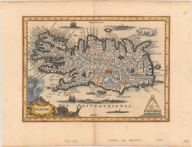
Auction 192, Lot 381
Subject: Iceland
Du Sauzet, Henri
Islande, 1734
Size: 9.9 x 7.2 inches (25.1 x 18.3 cm)
Estimate: $400 - $500
Rare Miniature Map of Iceland
Sold for: $400
Closed on 4/26/2023
Auction 192, Lot 383
Subject: Iceland
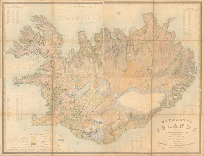
[On 4 Sheets] Uppdrattr Islands..., 1844
Size: 21.8 x 16.5 inches (55.4 x 41.9 cm)
Estimate: $1,500 - $1,800
First Edition of the First Accurate Topographical Map of Iceland
Sold for: $1,100
Closed on 4/26/2023
Auction 192, Lot 384
Subject: Arctic & Scandinavia
Ortelius, Abraham
Septentrionalium Regionum Descrip., 1571
Size: 19.4 x 14.2 inches (49.3 x 36.1 cm)
Estimate: $2,300 - $2,750
Early Example of Ortelius' Map of the Arctic with Mythical Islands
Sold for: $2,300
Closed on 4/26/2023
Auction 191, Lot 442
Subject: North Atlantic
Loon, Jan van
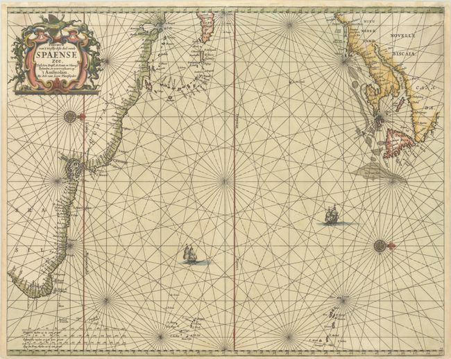
Pascaerte van 't Westlyckste deel vande Spaense Zee, Tusschen Brasil, de Zoute en Vlaemse Eylanden, en Voortwestwart Op, 1661
Size: 21.2 x 17.1 inches (53.8 x 43.4 cm)
Estimate: $700 - $850
Scarce Chart of the North Atlantic Depicting the New England Coastline
Sold for: $600
Closed on 2/8/2023
Auction 191, Lot 448
Subject: Iceland
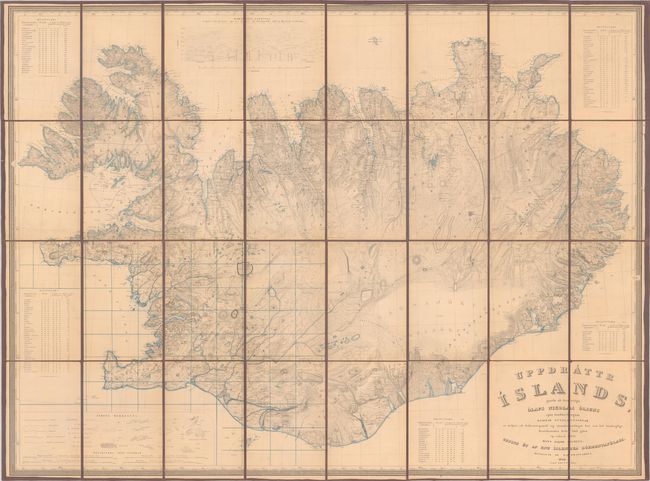
Uppdrattr Islands..., 1844
Size: 44.8 x 33.4 inches (113.8 x 84.8 cm)
Estimate: $1,600 - $1,900
First Edition of the First Accurate Topographical Map of Iceland
Sold for: $1,700
Closed on 2/8/2023
Auction 190, Lot 319
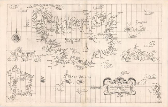
Subject: Iceland
Dudley, Robert (Sir)
Carta Particolare dell' Isole di Islandia e Frislandia, con l'Isolette di Fare..., 1661
Size: 29.9 x 19 inches (75.9 x 48.3 cm)
Estimate: $3,750 - $4,500
Rare Chart of Iceland and the Mythical Island of Frisland
Sold for: $3,250
Closed on 11/16/2022
Auction 189, Lot 352
Subject: Iceland
Ortelius, Abraham
Islandia, 1585
Size: 19.5 x 13.3 inches (49.5 x 33.8 cm)
Estimate: $9,000 - $11,000
One of Ortelius' Most Decorative Maps Featuring Fantastical Sea Monsters
Sold for: $10,500
Closed on 9/14/2022
Auction 188, Lot 346
Subject: Iceland
Ortelius, Abraham
Islandia, 1585
Size: 19.4 x 13.3 inches (49.3 x 33.8 cm)
Estimate: $8,000 - $9,500
One of Ortelius' Most Decorative Maps Featuring Fantastical Sea Monsters
Sold for: $11,000
Closed on 6/22/2022
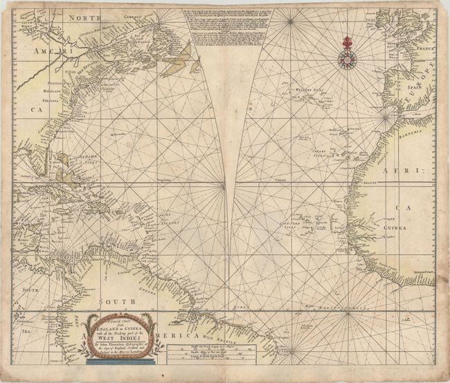
Auction 186, Lot 397
Subject: North Atlantic
Thornton, John
A General Chart from England to Guinea with All the Tradeing Part of the West Indies, 1704
Size: 22.2 x 18.6 inches (56.4 x 47.2 cm)
Estimate: $1,400 - $1,800
Rare Chart with Unique Feature to Correct Mercator's Projection
Sold for: $4,750
Closed on 2/9/2022
Auction 184, Lot 431
Subject: Bermuda
Speed, John
Mappa Aestivarum Insularum Alias Bermudas Dictarum... / A Mapp of the Sommer Islands Once Called the Bermudas..., 1626
Size: 20.7 x 15.8 inches (52.6 x 40.1 cm)
Estimate: $1,400 - $1,700
Speed's Foundation Map of Bermuda
Sold for: $1,200
Closed on 9/15/2021
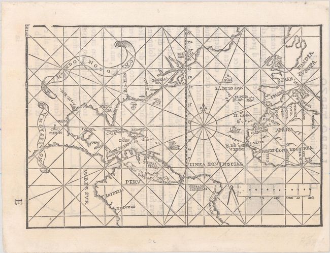
Auction 184, Lot 433
Subject: North Atlantic
De Medina, Pedro
Mundo Novo, 1554
Size: 6.9 x 4.7 inches (17.5 x 11.9 cm)
Estimate: $7,000 - $8,500
Extremely Rare Italian Edition of Medina's Map in Excellent Condition
Sold for: $5,000
Closed on 9/15/2021
Auction 184, Lot 439
Subject: Iceland
Ortelius, Abraham
Islandia, 1585
Size: 19.3 x 13.3 inches (49 x 33.8 cm)
Estimate: $7,000 - $8,500
One of Ortelius' Most Decorative Maps Featuring Fantastical Sea Monsters
Sold for: $11,000
Closed on 9/15/2021
Auction 183, Lot 309
Subject: Arctic & Scandinavia
Ortelius, Abraham
Septentrionalium Regionum Descrip., 1570
Size: 19.3 x 14.3 inches (49 x 36.3 cm)
Estimate: $2,400 - $3,000
Early Example of Ortelius' Map of the Arctic with Mythical Islands
Sold for: $1,700
Closed on 6/9/2021
Auction 181, Lot 390
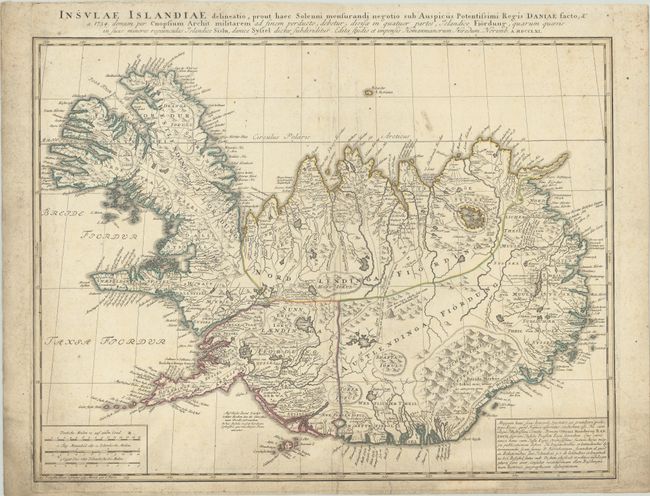
Subject: Iceland
Homann Heirs
Insulae Islandiae Delineatio, Prout haec Solenni Mensurandi Negotio sub Auspiciis Potentissimi Regis Daniae Facto..., 1761
Size: 23.2 x 17.7 inches (58.9 x 45 cm)
Estimate: $700 - $850
A Cartographic Milestone - Scientific Mapping of Iceland
Sold for: $400
Closed on 2/10/2021
Auction 180, Lot 389
Subject: Arctic & Scandinavia
Ortelius, Abraham
Septentrionalium Regionum Descrip., 1572
Size: 19.2 x 14 inches (48.8 x 35.6 cm)
Estimate: $2,200 - $2,500
Ortelius' Map of the Arctic with Mythical Islands
Sold for: $2,100
Closed on 11/18/2020
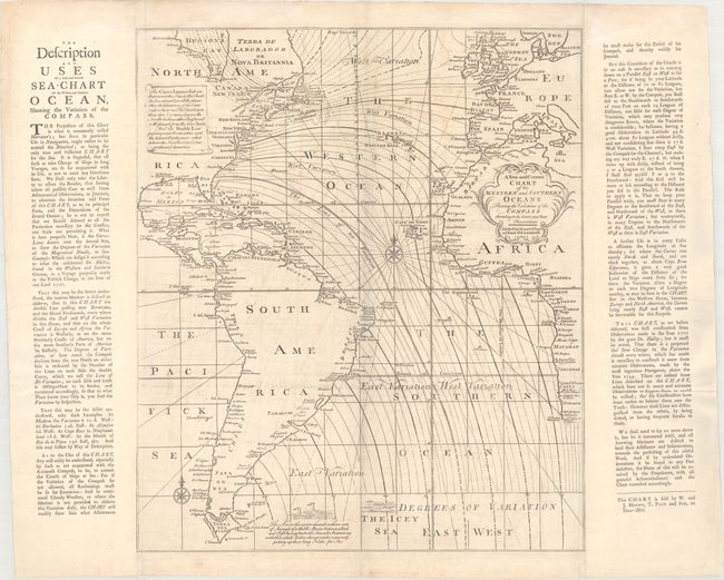
Auction 176, Lot 362
Subject: Atlantic Ocean
Mount & Page
A New and Correct Chart of the Western and Southern Oceans Shewing the Variations of the Compass According to the Latest and Best Observations, 1749
Size: 19.6 x 23 inches (49.8 x 58.4 cm)
Estimate: $1,400 - $1,700
Rare Halley Chart Showing Magnetic Variation
Sold for: $700
Closed on 2/12/2020
Auction 174, Lot 377
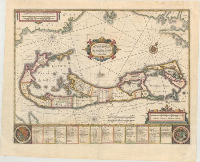
Subject: Bermuda
Blaeu, Willem
Mappa Aestivarum Insularum, Alias Barmudas Dictarum, ad Ostia Mexicani Aestuary..., 1642
Size: 21 x 15.9 inches (53.3 x 40.4 cm)
Estimate: $1,400 - $1,700
Map of Bermuda Based on Richard Norwood's Famous Survey
Unsold
Closed on 9/11/2019
Auction 172, Lot 372
Subject: Bermuda
Blaeu, Willem
Mappa Aestivarum Insularum, Alias Barmudas Dictarum, ad Ostia Mexicani Aestuary..., 1642
Size: 21 x 15.9 inches (53.3 x 40.4 cm)
Estimate: $1,700 - $2,000
Map of Bermuda Based on Richard Norwood's Famous Survey
Unsold
Closed on 4/17/2019
Auction 170, Lot 432
Subject: Bermuda
Speed, John
Mappa Aestivarum Insularum Alias Bermudas Dictarum... / A Mapp of the Sommer Islands Once Called the Bermudas..., 1626
Size: 20.6 x 15.8 inches (52.3 x 40.1 cm)
Estimate: $1,500 - $1,800
Speed's Foundation Map of Bermuda
Sold for: $800
Closed on 11/14/2018
Auction 170, Lot 433
Subject: Bermuda
Hondius/Jansson
Mappa Aestivarum Insularum, Alias Barmudas Dictarum, ad Ostia Mexicani Aestuary Jacetium..., 1638
Size: 20.3 x 15.5 inches (51.6 x 39.4 cm)
Estimate: $1,500 - $1,800
Map of Bermuda Based on Richard Norwood's Famous Survey
Sold for: $500
Closed on 11/14/2018
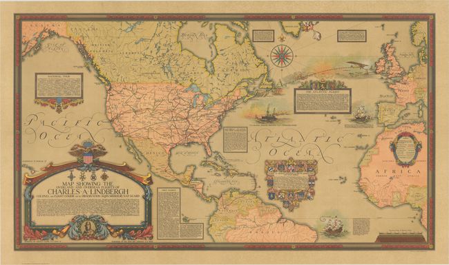
Auction 170, Lot 434
Subject: North America & North Atlantic
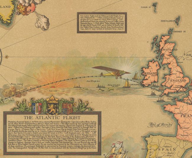
Map Showing the Overland and Overseas Flights of Charles A. Lindbergh Colonel and Flight Comdr. 110th Observation Sqdn: Missouri Nat. Guard, 1928
Size: 46.1 x 26.2 inches (117.1 x 66.5 cm)
Estimate: $1,400 - $1,800
Impressive Wall Map Chronicling Lindbergh's Career in Aviation
Sold for: $900
Closed on 11/14/2018
Auction 169, Lot 414
Subject: Bermuda
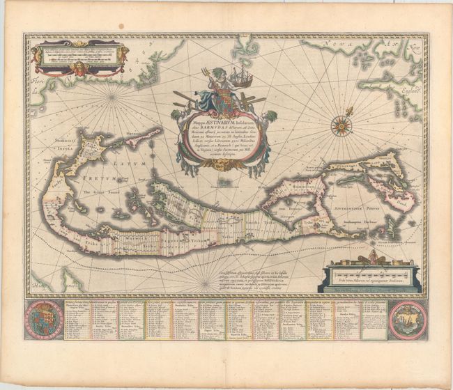
Blaeu, Willem
Mappa Aestivarum Insularum, Alias Barmudas Dictarum, ad Ostia Mexicani Aestuary..., 1638
Size: 20.9 x 15.9 inches (53.1 x 40.4 cm)
Estimate: $2,000 - $2,300
Map of Bermuda Based on Richard Norwood's Famous Survey
Sold for: $1,400
Closed on 9/12/2018
Auction 168, Lot 411
Subject: Bermuda
Hondius/Jansson
Mappa Aestivarum Insularum, Alias Barmudas Dictarum, ad Ostia Mexicani Aestuary Jacetium..., 1638
Size: 20.3 x 15.5 inches (51.6 x 39.4 cm)
Estimate: $1,500 - $1,800
Map of Bermuda Based on Richard Norwood's Famous Survey
Unsold
Closed on 6/6/2018
Auction 167, Lot 252
Subject: North America & North Atlantic
Map Showing the Overland and Overseas Flights of Charles A. Lindbergh Colonel and Flight Comdr. 110th Observation Sqdn. Missouri Nat. Guard, 1928
Size: 46 x 26.3 inches (116.8 x 66.8 cm)
Estimate: $1,400 - $1,800
Impressive Wall Map Chronicling Lindbergh's Career in Aviation
Sold for: $1,000
Closed on 3/28/2018
Auction 166, Lot 383
Subject: Bermuda
Speed, John
Mappa Aestivarum Insularum Alias Bermudas Dictarum... / A Mapp of the Sommer Ilands Once Called the Bermudas..., 1626
Size: 20.9 x 15.7 inches (53.1 x 39.9 cm)
Estimate: $1,800 - $2,100
Speed's Foundation Map of Bermuda
Unsold
Closed on 2/14/2018
Auction 165, Lot 410
Subject: Iceland
Ortelius, Abraham
Islandia, 1585
Size: 19.4 x 13.3 inches (49.3 x 33.8 cm)
Estimate: $6,000 - $7,500
One of Ortelius' Most Decorative Maps Featuring Fantastical Sea Monsters
Sold for: $4,000
Closed on 11/15/2017
Auction 164, Lot 445
Subject: Bermuda
Blaeu, Willem
Mappa Aestivarum Insularum, Alias Barmudas Dictarum, ad Ostia Mexicani Aestuary..., 1638
Size: 20.9 x 15.9 inches (53.1 x 40.4 cm)
Estimate: $2,000 - $2,300
Map of Bermuda Based on Richard Norwood's Famous Survey
Unsold
Closed on 9/13/2017
Auction 164, Lot 449
Subject: Iceland
Ortelius, Abraham
Islandia, 1585
Size: 19.3 x 13.3 inches (49 x 33.8 cm)
Estimate: $8,000 - $9,500
One of Ortelius' Most Decorative Maps Featuring Fantastical Sea Monsters
Sold for: $6,500
Closed on 9/13/2017
Auction 162, Lot 412
Subject: Bermuda
Mercator/Hondius
Mappa Aestivarum Insularum Alias Bermudas Dictarum..., 1635
Size: 9.1 x 6.5 inches (23.1 x 16.5 cm)
Estimate: $700 - $900
Scarce Map only Published in "Historia Mundi"
Sold for: $500
Closed on 4/26/2017
Auction 160, Lot 451
Subject: Bermuda
Blaeu, Willem
Mappa Aestivarum Insularum, Alias Barmudas Dictarum, ad Ostia Mexicani Aestuary Jacentium..., 1640
Size: 20.9 x 15.9 inches (53.1 x 40.4 cm)
Estimate: $2,000 - $2,300
Map of Bermuda Based on Richard Norwood's Famous Survey in Full Original Color
Sold for: $1,900
Closed on 11/16/2016
Auction 159, Lot 387
Subject: Bermuda
Hondius, Henricus
Mappa Aestivarum Insularum, Alias Barmudas Dictarum, ad Ostia Mexicani Aestuary Jacetium..., 1639
Size: 20.3 x 15.5 inches (51.6 x 39.4 cm)
Estimate: $1,400 - $1,700
Map of Bermuda Based on Richard Norwood's Famous Survey in Full Original Color
Sold for: $1,000
Closed on 9/14/2016
Auction 159, Lot 390
Subject: North Atlantic, Cuba, Spanish-American War
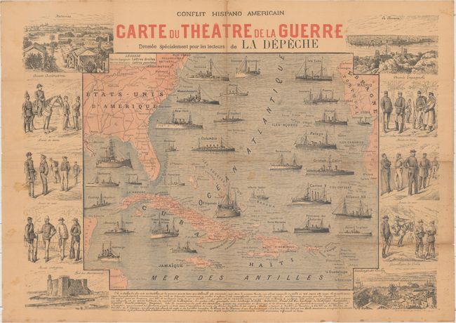
Conflit Hispano Americain - Carte du Theatre de la Guerre Dressee Specialement pour les Lecteurs de la Depeche, 1898
Size: 28.3 x 20.4 inches (71.9 x 51.8 cm)
Estimate: $450 - $550
French Coverage of the Spanish-American War
Sold for: $600
Closed on 9/14/2016
Auction 159, Lot 392
Subject: Iceland
Ortelius, Abraham
Islandia, 1585
Size: 19.4 x 13.2 inches (49.3 x 33.5 cm)
Estimate: $7,000 - $8,500
One of Ortelius' Most Decorative Maps Featuring Fantastical Sea Monsters
Sold for: $5,000
Closed on 9/14/2016
Auction 159, Lot 393
Subject: Arctic & Scandinavia
Ortelius, Abraham
Septentrionalium Regionum Descrip., 1592
Size: 19.3 x 14.2 inches (49 x 36.1 cm)
Estimate: $2,000 - $2,300
Ortelius' Map of the Arctic with Mythical Islands
Sold for: $1,500
Closed on 9/14/2016
Auction 158, Lot 219
Subject: Arctic & Scandinavia
Ortelius, Abraham
Septentrionalium Regionum Descrip., 1570
Size: 19.3 x 14.3 inches (49 x 36.3 cm)
Estimate: $2,000 - $2,300
Early Example of Ortelius' Map of the Arctic with Mythical Islands
Sold for: $1,600
Closed on 6/22/2016
170 lots
Page 1 of 4


