Showing Unsold Lots Under $100(remove filter)
Current Auction
60 lots
Page 1 of 2
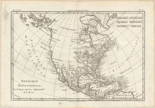
Lot 83
Subject: Colonial North America
Bonne/Raynal
Amerique Septentrionale, 1780
Size: 12.8 x 8.5 inches (32.5 x 21.6 cm)
Estimate: $120 - $150
Price reduced by $15
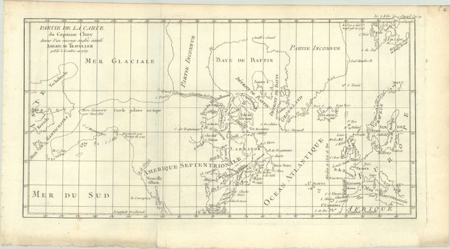
Lot 106
Subject: Colonial United States & Canada, Arctic
Robert de Vaugondy, Didier
Partie de la Carte du Capitaine Cluny Auteur d'un Ouvrage Anglois Intitule American Traveller Publie a Londres en 1769, 1773
Size: 16.4 x 8.6 inches (41.7 x 21.8 cm)
Estimate: $100 - $130
Price reduced by $30
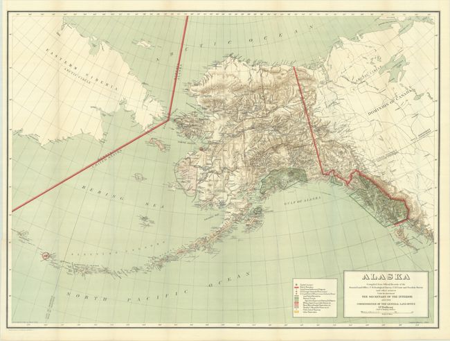
Lot 194
Subject: Alaska
General Land Office
Alaska Compiled from Official Records of the General Land Office, U.S. Geological Survey, U.S. Coast and Geodetic Survey and Other Sources..., 1910
Size: 36.9 x 27.1 inches (93.7 x 68.8 cm)
Estimate: $110 - $140
Price reduced by $20
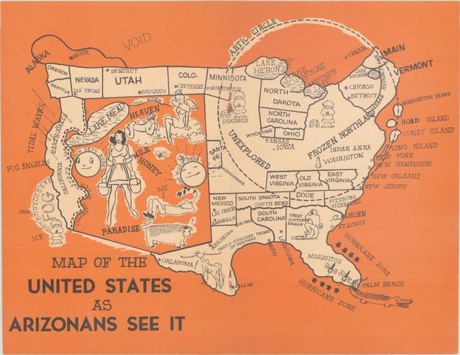
Lot 197
Subject: Arizona, United States
Map of the United States as Arizonans See It, 1947
Size: 10.7 x 8.3 inches (27.2 x 21.1 cm)
Estimate: $100 - $130
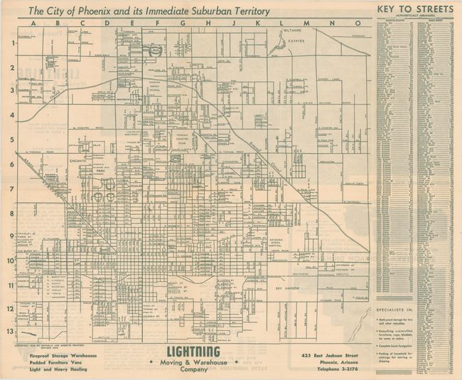
Lot 199
Subject: Phoenix, Arizona
[Lot of 3] The City of Phoenix and Its Immediate Suburban Territory [and] Map of the City of Phoenix Arizona [and] Map of the City of Phoenix Arizona, 1943-52
Size: See Description
Estimate: $160 - $190
Price reduced by $50 - Three Pocket Maps Document Phoenix Entering Explosive Growth Period
Lot 220
Subject: Florida
Conners Highway Map of Main Highways of Florida Showing Surfacing of Roads and Mileage Between Cities, 1924
Size: 10.8 x 16.8 inches (27.4 x 42.7 cm)
Estimate: $140 - $170
Price reduced by $40 - Map and Land Promotion for Connors' Pioneering Toll Road Through the Everglades
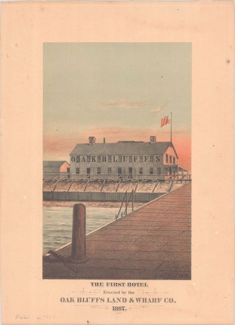
Lot 249
Subject: Martha's Vineyard, Massachusetts
The First Hotel Erected by the Oak Bluffs Land & Wharf Co. 1867, 1878
Size: 6.4 x 10.3 inches (16.3 x 26.2 cm)
Estimate: $150 - $180
Price reduced by $25 - Martha’s Vineyard First Hotel
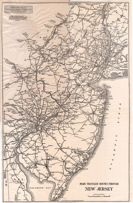
Lot 257
Subject: New Jersey
[Map in Guide] Main Traveled Routes Through New Jersey [in] Motor Highways of New Jersey, 1915
Size: 9.2 x 14.4 inches (23.4 x 36.6 cm)
Estimate: $140 - $170
Price reduced by $50 - Unrecorded Early New Jersey Motor Highways Tour Guide and Map
Lot 261
Subject: New York
Colton, G.W. & C.B.
Colton's Railroad & Township Map of the State of New York, with Parts of the Adjoining States & Canada, 1871
Size: 28.4 x 25.2 inches (72.1 x 64 cm)
Estimate: $140 - $170
Price reduced by $25
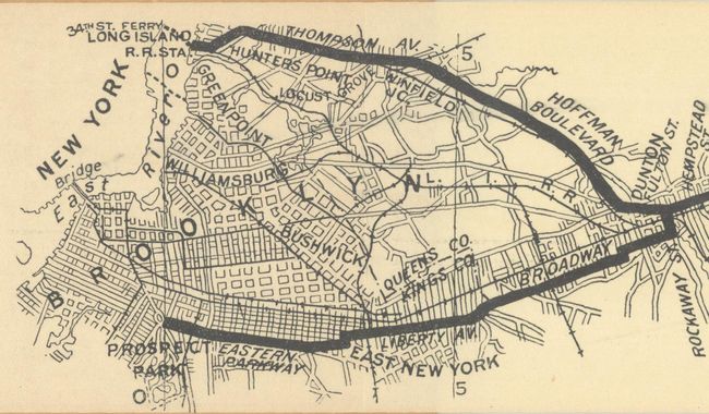
Lot 266
Subject: New York & New Jersey
[Lot of 3] Waring's Road Maps. Route No. 16 - New York to Oyster Bay [and] Route No. 5. - New York to Lake Hopatcong [and] Route No. 14. New York to Greenwood Lake , 1897
Size: 21 x 2.8 inches (53.3 x 7.1 cm)
Estimate: $150 - $180
Price reduced by $50 - Unrecorded Early Spalding Bicycle Road Pocket Maps
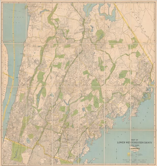
Lot 268
Subject: Westchester County, New York
Map of Lower Westchester County New York, 1931
Size: 34.1 x 35.9 inches (86.6 x 91.2 cm)
Estimate: $120 - $150
Price reduced by $15
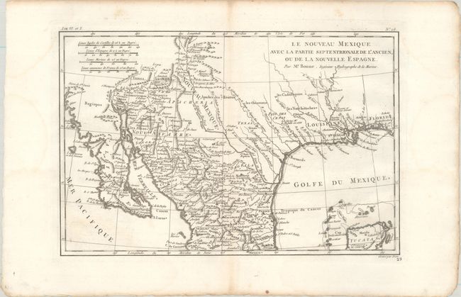
Lot 307
Subject: Southwestern United States & Mexico
Bonne, Rigobert
Le Nouveau Mexique avec la Partie Septentrionale de l'Ancien, ou de la Nouvelle Espagne, 1780
Size: 12.4 x 8.3 inches (31.5 x 21.1 cm)
Estimate: $110 - $140
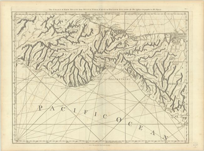
Lot 312
Subject: Southern Mexico & Guatemala
Jefferys/Laurie & Whittle
The Coast of New Spain from Nueva Vera Cruz to Triste Island, 1794
Size: 24.8 x 18.5 inches (63 x 47 cm)
Estimate: $110 - $140
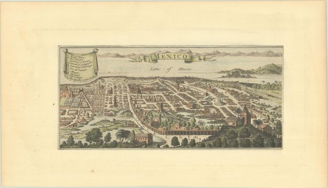
Lot 313
Subject: Mexico City, Mexico
Anon.
Mexico, 1750
Size: 10.5 x 4.9 inches (26.7 x 12.4 cm)
Estimate: $120 - $150
Price reduced by $15
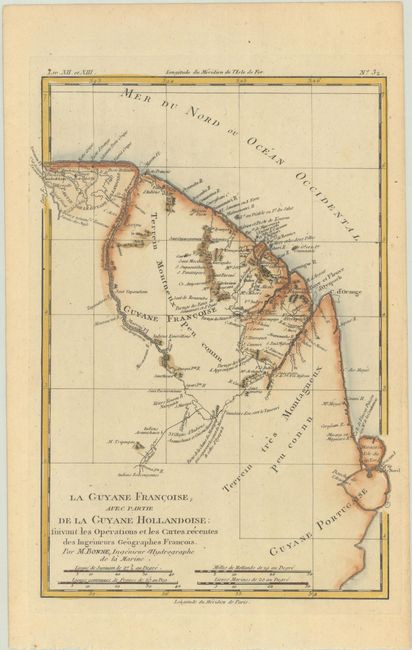
Lot 348
Subject: French Guiana
Bonne, Rigobert
La Guyane Francoise, avec Partie de la Guyane Hollandoise: Suivant les Operations et les Cartes Recentes des Ingenieurs Geographes Francois, 1780
Size: 8.9 x 12.6 inches (22.6 x 32 cm)
Estimate: $90 - $110
Price reduced by $15
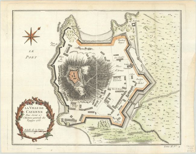
Lot 349
Subject: Cayenne, French Guiana
Bellin, Jacques Nicolas
[Lot of 2] La Ville de Cayenne pour Servir a l'Histoire Generale des Voyages [and] Carte de l'Isle de Cayenne et de ses Environs, 1753-64
Size: See Description
Estimate: $110 - $140
Price reduced by $30
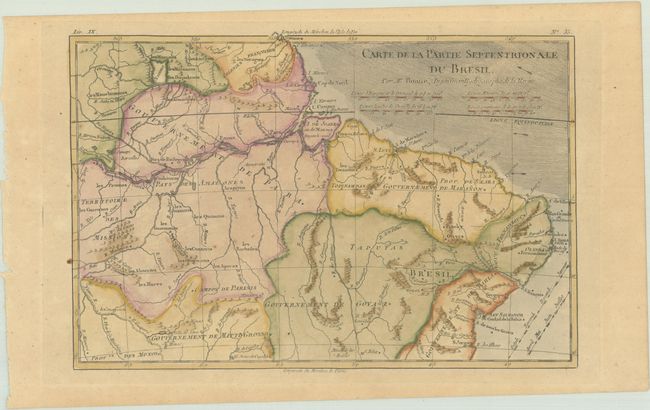
Lot 351
Subject: Northern Brazil
Bonne, Rigobert
Carte de la Partie Septentrionale du Bresil, 1780
Size: 12.5 x 8.4 inches (31.8 x 21.3 cm)
Estimate: $80 - $95
Price reduced by $10
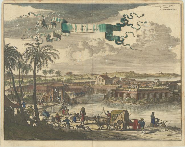
Lot 352
Subject: Olinda, Brazil
Montanus, Arnoldus
Arx Principis Guiljelmi, 1671
Size: 14.3 x 11.1 inches (36.3 x 28.2 cm)
Estimate: $110 - $140
Price reduced by $20
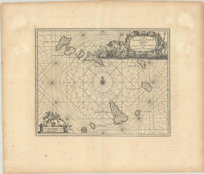
Lot 365
Subject: Cape Verde Islands
Ogilby, John
Insulae Promontorii Viridis, Hispanis Islas de Cabo Verde, Belgis de Soute Eylanden, 1670
Size: 12.4 x 9.9 inches (31.5 x 25.1 cm)
Estimate: $150 - $180
Price reduced by $35
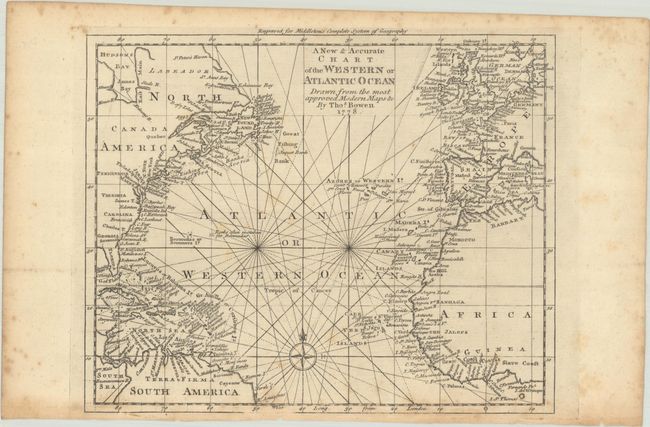
Lot 368
Subject: North Atlantic Ocean
Bowen, Thomas
A New & Accurate Chart of the Western or Atlantic Ocean Drawn from the Most Approved Modern Maps &c., 1778
Size: 10.6 x 8.5 inches (26.9 x 21.6 cm)
Estimate: $140 - $170
Price reduced by $40
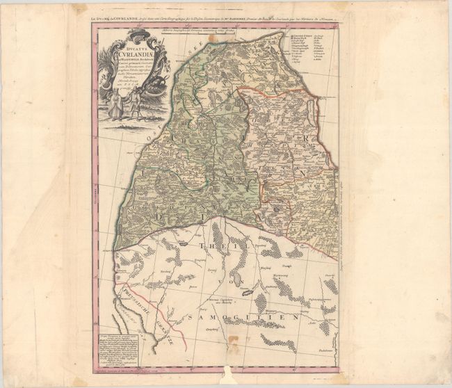
Lot 431
Subject: Baltic, Latvia
Homann Heirs
Ducatus Curlandiae..., 1747
Size: 13.8 x 19.3 inches (35.1 x 49 cm)
Estimate: $140 - $170
Price reduced by $20
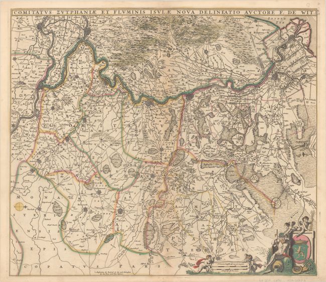
Lot 439
Subject: Eastern Netherlands
Wit, Frederick de
Comitatus Zutphaniae et Fluminis Isulae Nova Delineatio, 1670
Size: 21.9 x 19.1 inches (55.6 x 48.5 cm)
Estimate: $200 - $230
Price reduced by $70
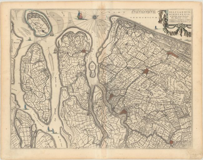
Lot 440
Subject: Southern Netherlands
Blaeu, Willem
Delflandia, Schielandia, et Insulae Trans Mosam Illis Objacentes ut sunt Voorna, Overflackea, Goerea, Yselmonda, Etc. , 1670
Size: 19.6 x 15.1 inches (49.8 x 38.4 cm)
Estimate: $160 - $190
Price reduced by $60
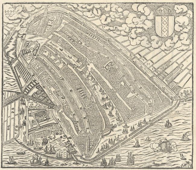
Lot 441
Subject: Amsterdam, Netherlands
Munster, Sebastian
[Untitled - Rotterdam], 1554
Size: 7.1 x 6.1 inches (18 x 15.5 cm)
Estimate: $140 - $170
Price reduced by $50
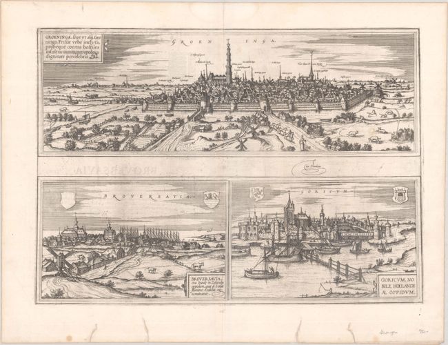
Lot 442
Subject: Groningen, Brouwershaven & Gorinchem, Netherlands
Braun & Hogenberg
Groeninga, sive ut Alij, Gruninga... [on sheet with] Broversavia, eius Insule in Zelandia... [and] Goricum, Nobile Hollandiae Oppidum, 1572
Size: 18.5 x 13.2 inches (47 x 33.5 cm)
Estimate: $150 - $180
Price reduced by $25 - First Edition
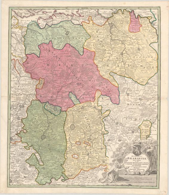
Lot 446
Subject: Central Belgium
Homann, Johann Baptist
Ducatus Brabantiae Nova Tabula in qua Lovanii Bruxellarum March S. Imperii Sylvae Ducis et Mechliniae Dominia..., 1720
Size: 18.9 x 22.4 inches (48 x 56.9 cm)
Estimate: $120 - $150
Price reduced by $30
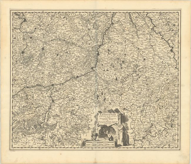
Lot 447
Subject: Eastern Belgium & Western Germany
Visscher, Nicolas
Leodiensis Episcopatus in Omnes Subjacentes Provincias Distincte Divisus, 1680
Size: 22.2 x 18.2 inches (56.4 x 46.2 cm)
Estimate: $140 - $170
Price reduced by $25
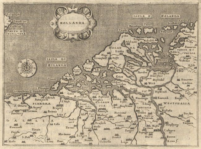
Lot 450
Subject: Low Countries
Porcacchi, Tomaso
Hollanda, 1605
Size: 5.6 x 4.1 inches (14.2 x 10.4 cm)
Estimate: $100 - $130
Price reduced by $25
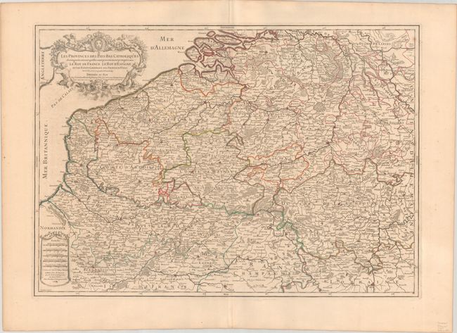
Lot 451
Subject: Low Countries
Sanson/Jaillot
Les Provinces des Pays-Bas Catholiques Distinguees Suivant qu'elles sont Presentemente Partagees, Entre le Roy de France..., 1707
Size: 25.6 x 18.1 inches (65 x 46 cm)
Estimate: $140 - $170
Price reduced by $40
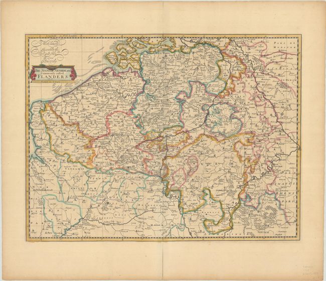
Lot 453
Subject: Belgium & Luxembourg
Senex, John
The Spanish Netherlands Commonly Called Flanders, 1719
Size: 20.8 x 15.8 inches (52.8 x 40.1 cm)
Estimate: $160 - $190
Price reduced by $60
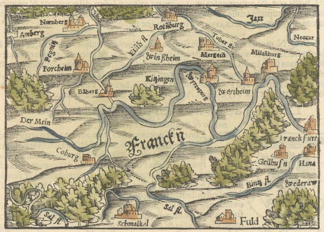
Lot 487
Subject: Central Germany
Munster, Sebastian
De Francia Orientali, quam Franconiam Germaniae Vocant, 1554
Size: 5.4 x 3.9 inches (13.7 x 9.9 cm)
Estimate: $80 - $100
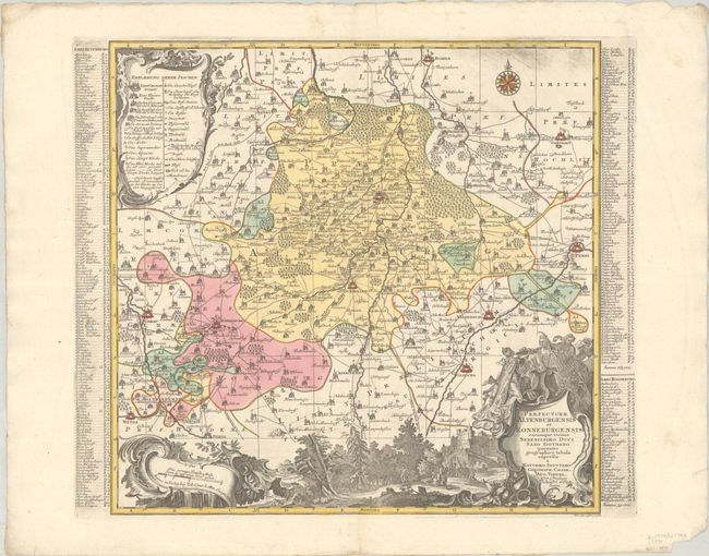
Lot 490
Subject: Eastern Germany
Seutter, Matthias
Praefecturae Altenburgensis et Ronneburgensis Earumque Vicinia Serenissimo Duci Saxo Gothano..., 1730
Size: 20.3 x 19.5 inches (51.6 x 49.5 cm)
Estimate: $140 - $170
Price reduced by $50
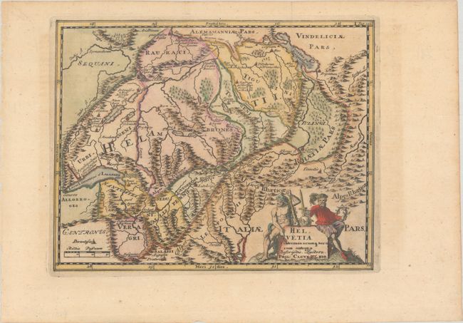
Lot 509
Subject: Switzerland
Cluver, Philipp
Helvetia Conterminarumq Terrarum Antiqua Descriptio, 1729
Size: 10 x 7.8 inches (25.4 x 19.8 cm)
Estimate: $110 - $140
Price reduced by $20
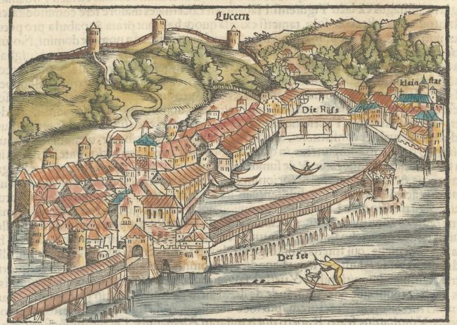
Lot 512
Subject: Lucerne, Switzerland
Munster, Sebastian
De Lucerna Helvetiorum Civitate, 1554
Size: 5.4 x 3.9 inches (13.7 x 9.9 cm)
Estimate: $80 - $100
Price reduced by $10
Lot 527
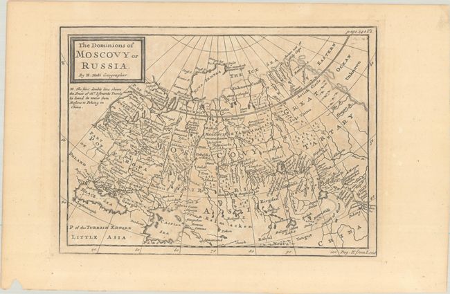
Subject: Russia
Moll, Herman
The Dominions of Moscovy or Russia, 1711
Size: 10 x 7.3 inches (25.4 x 18.5 cm)
Estimate: $110 - $140
Lot 529
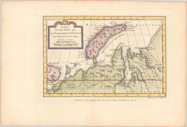
Subject: Novaya Zemlya, Russia
Bellin, Jacques Nicolas
Carte des Pais Habites par les Samojedes et Ostiacs pour l'Histoire Generale des Voyages, 1757
Size: 9.6 x 6.3 inches (24.4 x 16 cm)
Estimate: $80 - $95
Lot 535
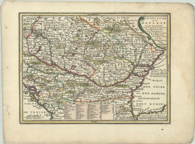
Subject: Southeastern Europe
Chiquet, Jacques
Le Royaume de Hongrie ou se Trouvent la Transilvanie, la Moldavie, la Valaquie, l'Esclavonie, la Bosnie, la Servie, et la Bulgarie, &c., 1719
Size: 8.7 x 6.4 inches (22.1 x 16.3 cm)
Estimate: $110 - $140
Lot 539
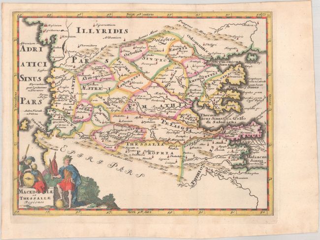
Subject: Northern Greece & Macedonia
Cluver, Philipp
Macedoniae et Thessaliae Regiones, 1697
Size: 10 x 7.8 inches (25.4 x 19.8 cm)
Estimate: $95 - $120
Price reduced by $20
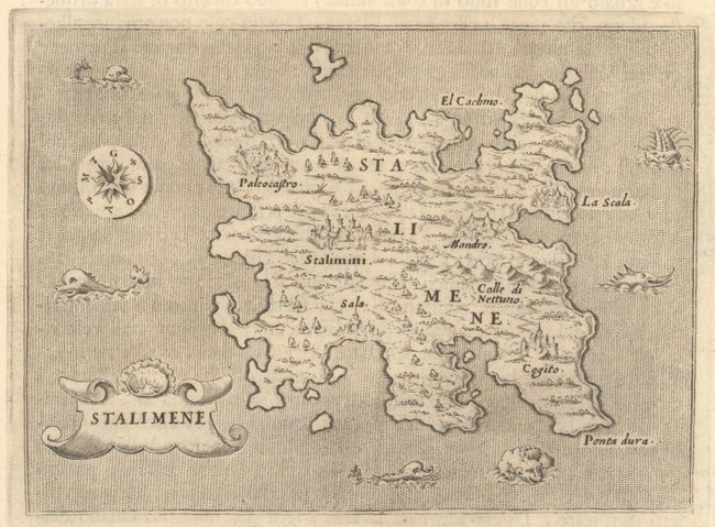
Lot 540
Subject: Lemnos, Greece
Porcacchi, Tomaso
Stalimene, 1605
Size: 5.5 x 4 inches (14 x 10.2 cm)
Estimate: $110 - $140
Price reduced by $30
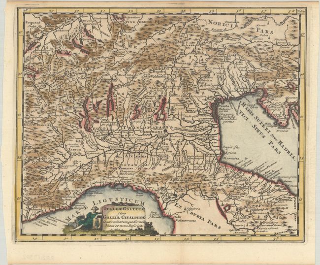
Lot 545
Subject: Northern Italy
Cluver, Philipp
Italiae Gallicae sive Galliae Cisalpinae Conterminarumque Terraru Vetus et Nova Descriptio, 1697
Size: 10 x 8.1 inches (25.4 x 20.6 cm)
Estimate: $110 - $140
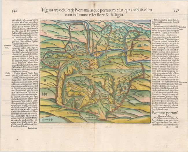
Lot 551
Subject: Rome, Italy
Munster, Sebastian
Figura Areae Civitatis Romanae atque Portarum eius, quas Habuit olim cum in Summo Effet Flore & Fastigio, 1554
Size: 9 x 8.4 inches (22.9 x 21.3 cm)
Estimate: $200 - $250
Price reduced by $25
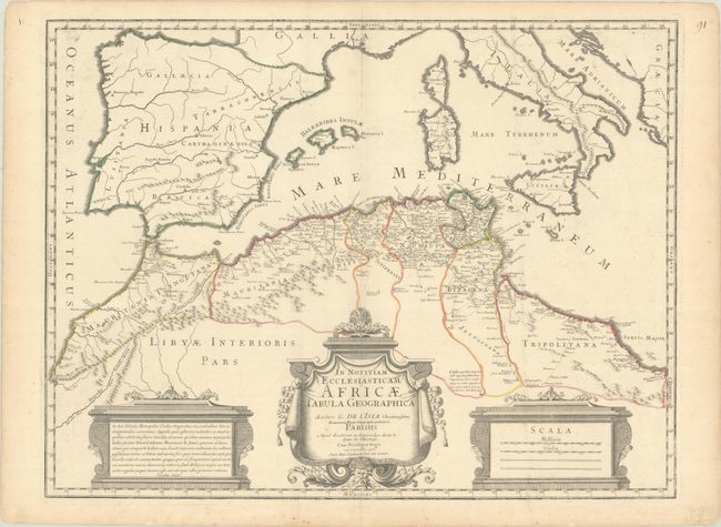
Lot 554
Subject: Western Mediterranean & Northern Africa
Delisle, Guillaume
In Notitiam Ecclesiasticam Africae Tabula Geographica, 1700
Size: 25 x 19 inches (63.5 x 48.3 cm)
Estimate: $140 - $170
Price reduced by $40
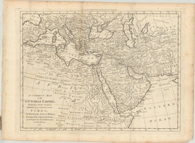
Lot 559
Subject: Mediterranean, Middle East & Northern Africa
Bowen, Thomas
A Correct Map of the Ottoman Empire, Including All the Countries, Possess'd by, or Tributary to the Turks, in Europe, Asia & Africa, with Part of the Adjacent Territories..., 1777
Size: 16.4 x 12.3 inches (41.7 x 31.2 cm)
Estimate: $140 - $170
Price reduced by $25
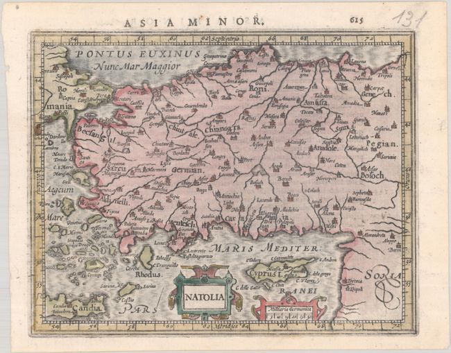
Lot 569
Subject: Turkey & Cyprus
Mercator/Hondius
Natolia, 1621
Size: 7.5 x 5.9 inches (19.1 x 15 cm)
Estimate: $110 - $140
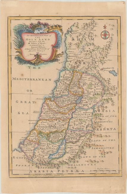
Lot 580
Subject: Holy Land
Bowen, Emanuel
An Accurate Map of the Holy Land Divided Into the XII Tribes of Israel. Accomodated to Sacred History, & Describing the Travels of Jesus Christ, 1752
Size: 9 x 12.7 inches (22.9 x 32.3 cm)
Estimate: $150 - $180
Price reduced by $35
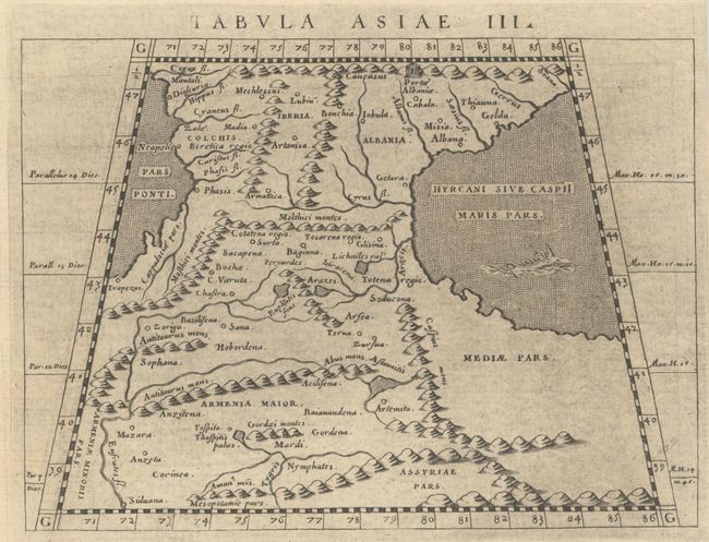
Lot 587
Subject: Caucasus & Middle East
Ptolemy/Magini
Tabula Asiae III [on verso] Tabula Asiae IIII, 1621
Size: 6.8 x 4.9 inches (17.3 x 12.4 cm)
Estimate: $150 - $180
Price reduced by $55
Lot 588
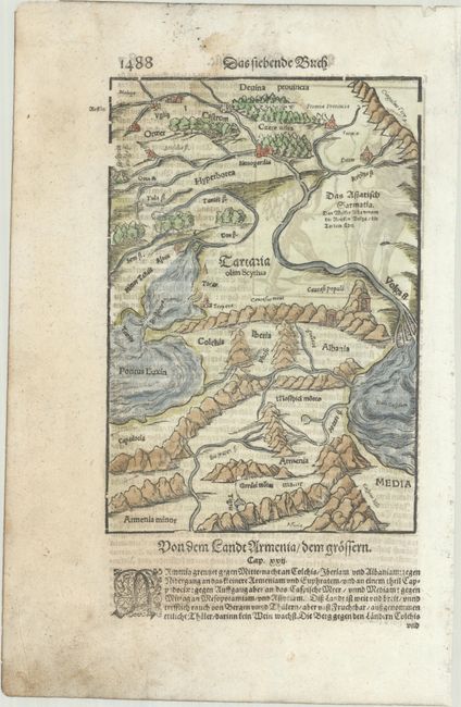
Subject: Caucasus
Munster, Sebastian
[Tartaria olim Scythia], 1628
Size: 6.4 x 9.4 inches (16.3 x 23.9 cm)
Estimate: $95 - $120
Lot 597
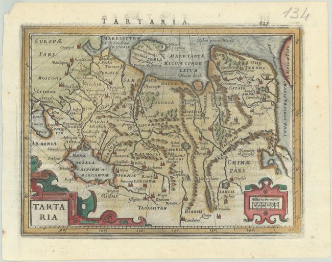
Subject: Northern Asia
Mercator/Hondius
Tartaria, 1621
Size: 7.4 x 5.6 inches (18.8 x 14.2 cm)
Estimate: $110 - $140
Lot 601
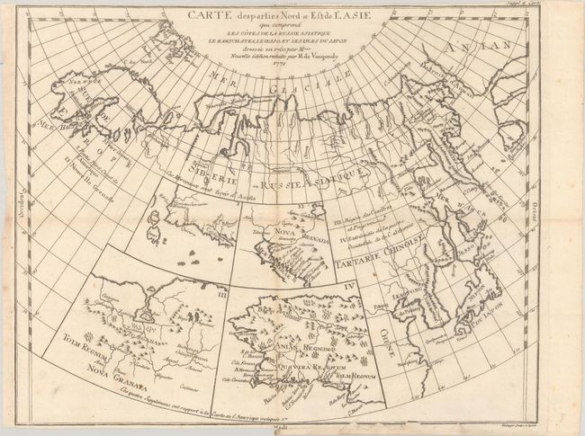
Subject: Northern Asia & Western North America
Robert de Vaugondy/Diderot
Carte des Parties Nord et Est de l'Asie qui Comprend les Cotes de la v le Kamschatka, le Iesso, et les Isles du Japon..., 1772
Size: 14.7 x 11.8 inches (37.3 x 30 cm)
Estimate: $100 - $130
Lot 608
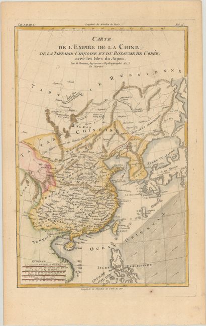
Subject: China, Korea & Japan
Bonne, Rigobert
Carte de l'Empire de la Chine, de la Tartarie Chinoise et du Royaume de Coree: avec les Isles du Japon, 1780
Size: 8.3 x 12.5 inches (21.1 x 31.8 cm)
Estimate: $110 - $140
Price reduced by $20
60 lots
Page 1 of 2


