Filtered by Category:United States(Show All Categories)
Showing results for:Auction 169
Catalog Archive
193 lots
Page 1 of 4
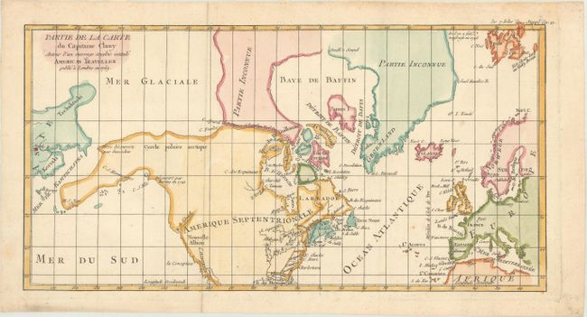
Auction 169, Lot 129
Subject: Colonial United States, Canada & Arctic
Robert de Vaugondy, Didier
Partie de la Carte du Capitaine Cluny Auteur d'un Ouvrage Anglois Intitule American Traveller Publie a Londres en 1769, 1772
Size: 16.3 x 8.4 inches (41.4 x 21.3 cm)
Estimate: $140 - $170
Sold for: $100
Closed on 9/12/2018
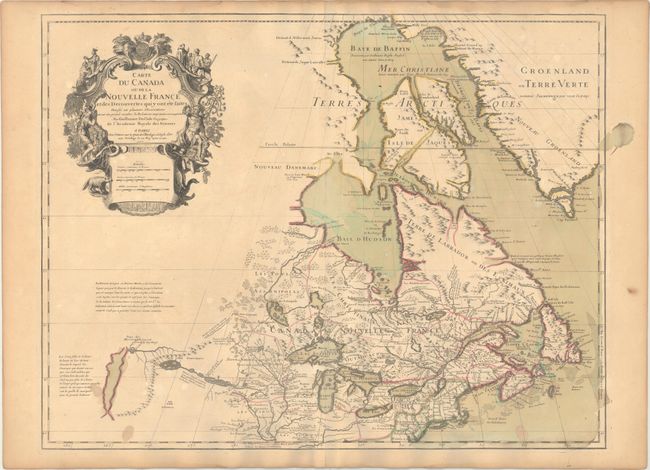
Auction 169, Lot 130
Subject: Colonial Northeastern United States & Canada, Great Lakes
Delisle, Guillaume
Carte du Canada ou de la Nouvelle France et des Decouvertes qui y ont ete Faites..., 1703
Size: 25.6 x 19.6 inches (65 x 49.8 cm)
Estimate: $2,200 - $2,500
Delisle's Seminal Map of Canada and the Great Lakes
Sold for: $1,600
Closed on 9/12/2018
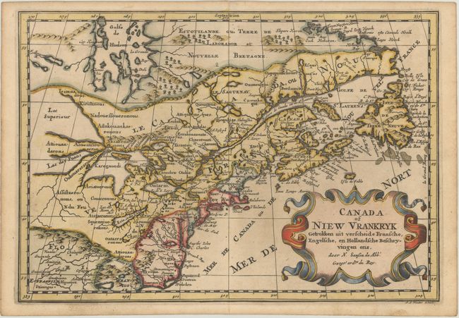
Auction 169, Lot 131
Subject: Colonial Northeastern United States & Canada, Great Lakes
Sanson, Nicolas
Canada of Niew Vrankryk Getrokken uit Verscheide Fransche, Engelsche, en Hollandsche Beschryvingen Enz., 1705
Size: 11.9 x 8.2 inches (30.2 x 20.8 cm)
Estimate: $600 - $750
Small Version of a Keystone Map for Great Lakes Collections
Sold for: $425
Closed on 9/12/2018
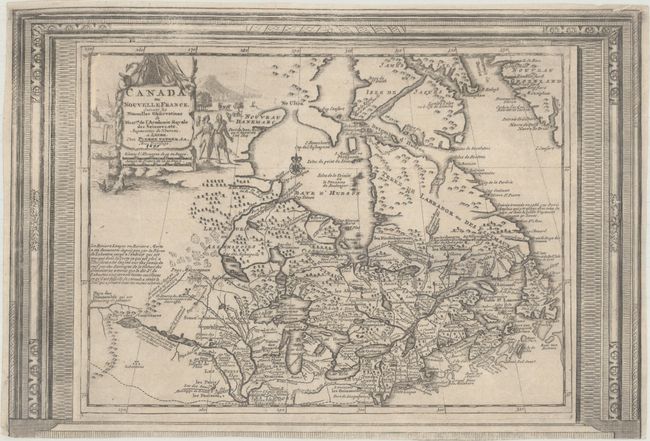
Auction 169, Lot 132
Subject: Colonial Northeastern United States & Canada
Aa, Pieter van der
Canada ou Nouvelle France, Suivant les Nouvelles Observations de Messrs. de l'Academie Royale des Sciences, Etc. Augmentees de Nouveau, 1730
Size: 15.1 x 10.3 inches (38.4 x 26.2 cm)
Estimate: $450 - $550
Picture-Frame Style Border
Sold for: $325
Closed on 9/12/2018
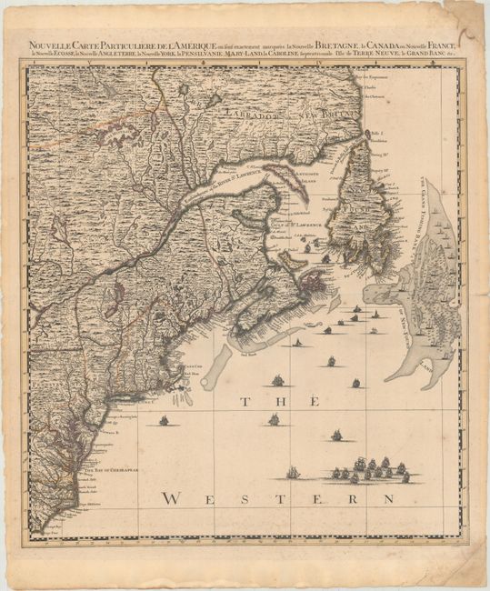
Auction 169, Lot 133
Subject: Colonial Northeastern United States & Canada
Popple/Covens & Mortier
Nouvelle Carte Particuliere de l'Amerique ou sont Exactement Marquees la Nouvelle Bretagne, le Canada ou Nouvelle France, la Nouvelle Ecosse, la Nouvelle Angleterre, la Nouvelle York..., 1741
Size: 20.5 x 22.4 inches (52.1 x 56.9 cm)
Estimate: $2,400 - $3,000
The Northeastern Sheet of the Reduced-Size Edition of Popple's Map
Unsold
Closed on 9/12/2018
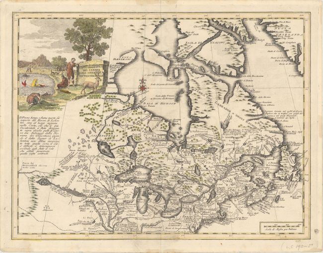
Auction 169, Lot 134
Subject: Colonial Northeastern United States & Canada, Great Lakes
Albrizzi, Girolamo
Carta Geografica del Canada nell' America Settentrionale, 1742
Size: 17 x 13 inches (43.2 x 33 cm)
Estimate: $800 - $950
Sold for: $650
Closed on 9/12/2018
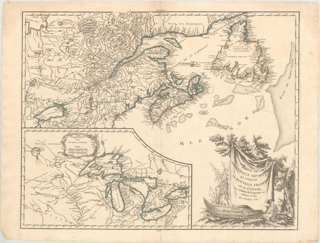
Auction 169, Lot 135
Subject: Colonial Northeastern United States & Canada, Great Lakes
Robert de Vaugondy, Didier
Partie de l'Amerique Septent? qui Comprend la Nouvelle France ou le Canada, 1755
Size: 23.9 x 19 inches (60.7 x 48.3 cm)
Estimate: $600 - $750
Sold for: $450
Closed on 9/12/2018
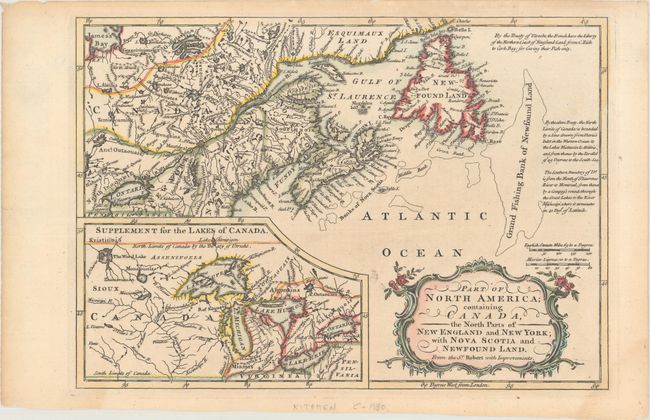
Auction 169, Lot 136
Subject: Colonial Northeastern United States & Canada, Great Lakes
Barrow, John (Sir)
Part of North America; Containing Canada, the North Parts of New England and New York; with Nova Scotia and Newfound Land..., 1759
Size: 11.6 x 8.1 inches (29.5 x 20.6 cm)
Estimate: $160 - $190
Sold for: $120
Closed on 9/12/2018
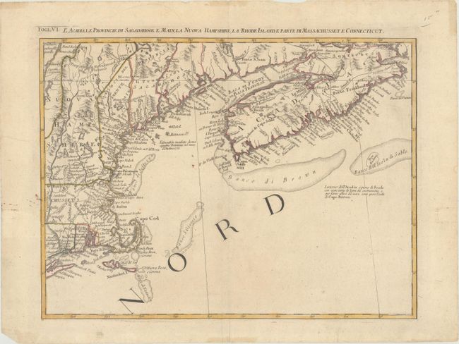
Auction 169, Lot 137
Subject: Colonial Northeastern United States & Canada
Zatta, Antonio
L'Acadia, le Provincie di Sagadahook e Main, la Nuova Hampshire, la Rhode Island, e Parte di Massachusset e Connecticut, 1778
Size: 16.6 x 12.5 inches (42.2 x 31.8 cm)
Estimate: $240 - $300
Sold for: $180
Closed on 9/12/2018
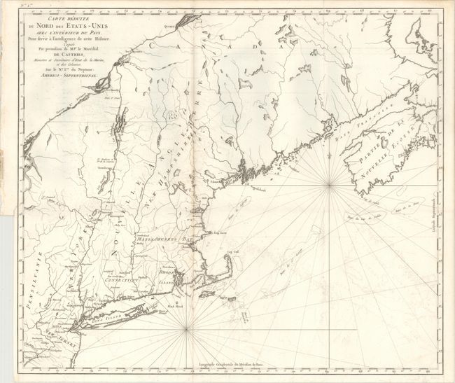
Auction 169, Lot 138
Subject: Northeastern United States & Canada
Carte Reduite du Nord des Etats-Unis avec l'Interieur du Pays. Pour Servir a Intelligence de Cette Histoire..., 1830
Size: 22.9 x 19.6 inches (58.2 x 49.8 cm)
Estimate: $375 - $450
Unsold
Closed on 9/12/2018
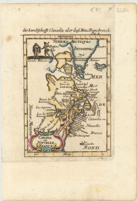
Auction 169, Lot 139
Subject: Colonial Eastern United States & Canada
Mallet, Alain Manesson
Canada ou Nouvelle France, 1684
Size: 3.9 x 5.5 inches (9.9 x 14 cm)
Estimate: $200 - $230
Sold for: $200
Closed on 9/12/2018
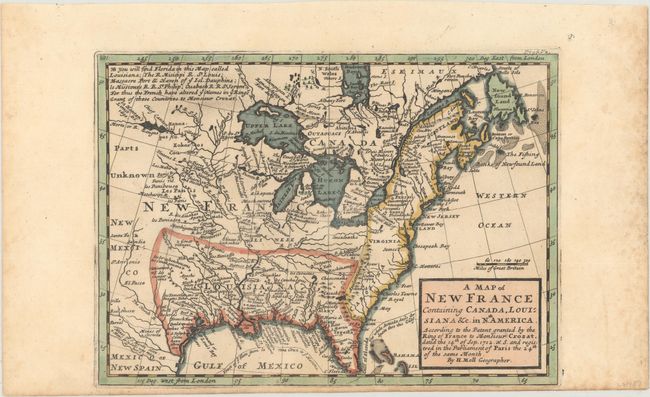
Auction 169, Lot 140
Subject: Colonial Eastern United States & Canada
Moll, Herman
A Map of New France Containing Canada, Louisiana &c. in Nth. America. According to the Patent Granted by the King of France to Monsieur Crozat..., 1717
Size: 10.1 x 7.3 inches (25.7 x 18.5 cm)
Estimate: $475 - $600
Sold for: $400
Closed on 9/12/2018
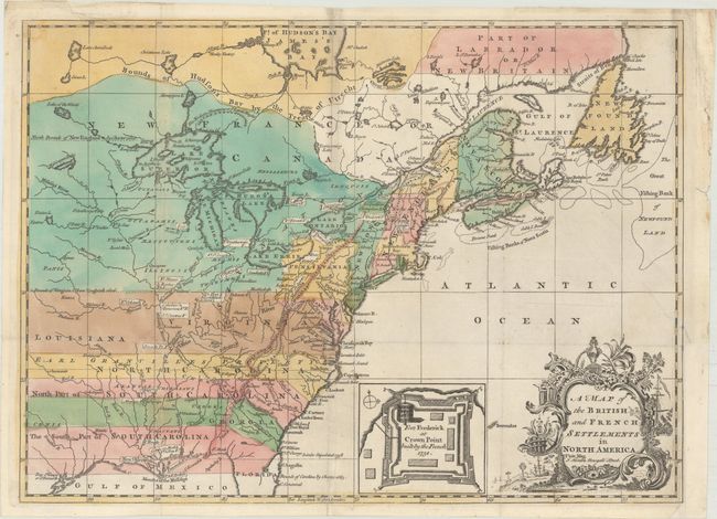
Auction 169, Lot 141
Subject: Colonial Eastern United States & Canada
Hinton, John
A Map of the British and French Settlements in North America, 1755
Size: 14.9 x 10.9 inches (37.8 x 27.7 cm)
Estimate: $800 - $950
Sold for: $750
Closed on 9/12/2018
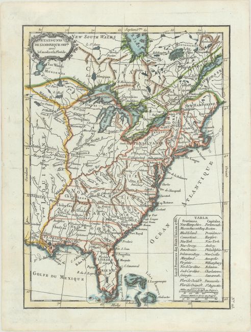
Auction 169, Lot 142
Subject: Eastern United States & Canada
Lattre, Jean
Etats-Unis de l'Amerique Seple. avec le Canada et la Floride, 1790
Size: 7.2 x 9.8 inches (18.3 x 24.9 cm)
Estimate: $200 - $230
Sold for: $180
Closed on 9/12/2018
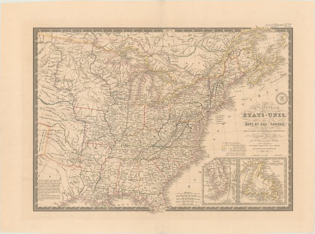
Auction 169, Lot 143
Subject: Eastern United States & Canada, Texas
Brue, Adrien Hubert
Carte Generale des Etats-Unis, des Haut et Bas-Canada, de la Nouvle. Ecosse, du Nouvau. Brunswick, de Terre-Neuve, &a. Seconde Edition, 1843
Size: 20.3 x 14.5 inches (51.6 x 36.8 cm)
Estimate: $180 - $220
Sold for: $110
Closed on 9/12/2018
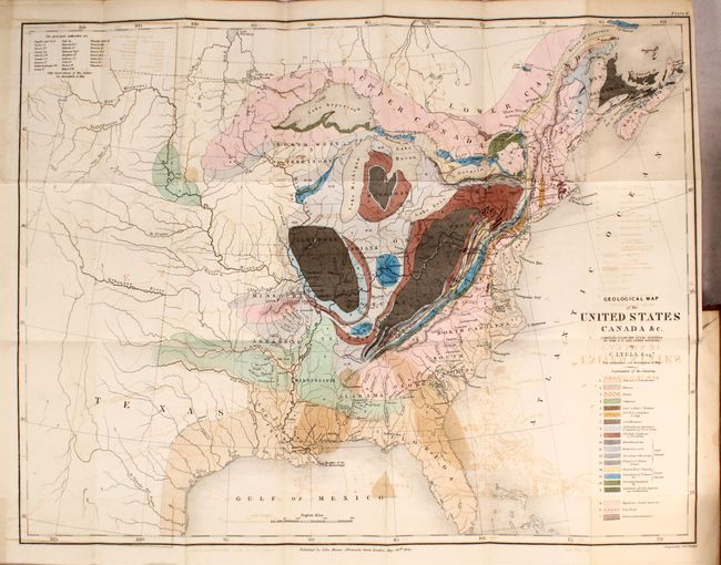
Auction 169, Lot 144
Subject: Eastern United States & Canada
Lyell, Charles
Geological Map of the United States Canada &c. [bound in] Travels in North America; with Geological Observations on the United States, Canada, and Nova Scotia, 1845
Size: 4.9 x 7.9 inches (12.4 x 20.1 cm)
Estimate: $650 - $800
London Edition of Lyell's Important Account & Geological Map
Sold for: $450
Closed on 9/12/2018
Auction 169, Lot 145
Subject: Colonial Central United States & Canada, Great Lakes
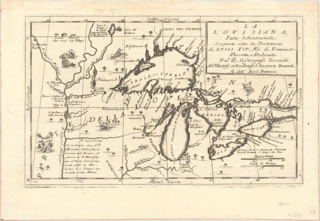
Coronelli, Vincenzo Maria
La Louisiana, Parte Settentrionalle, Scoperta Sotto la Protettione di Luigi XIV, Re di Francia, Etc., 1695
Size: 16.6 x 10.1 inches (42.2 x 25.7 cm)
Estimate: $3,500 - $4,250
Coronelli's Important Map of the Great Lakes & Upper Mississippi River Valley
Sold for: $4,000
Closed on 9/12/2018
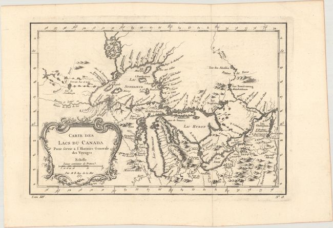
Auction 169, Lot 146
Subject: Colonial Central United States & Canada, Great Lakes
Bellin, Jacques Nicolas
Carte des Lacs du Canada pour Servir a l'Histoire Generale des Voyages, 1757
Size: 11.5 x 7.7 inches (29.2 x 19.6 cm)
Estimate: $400 - $475
Sold for: $325
Closed on 9/12/2018
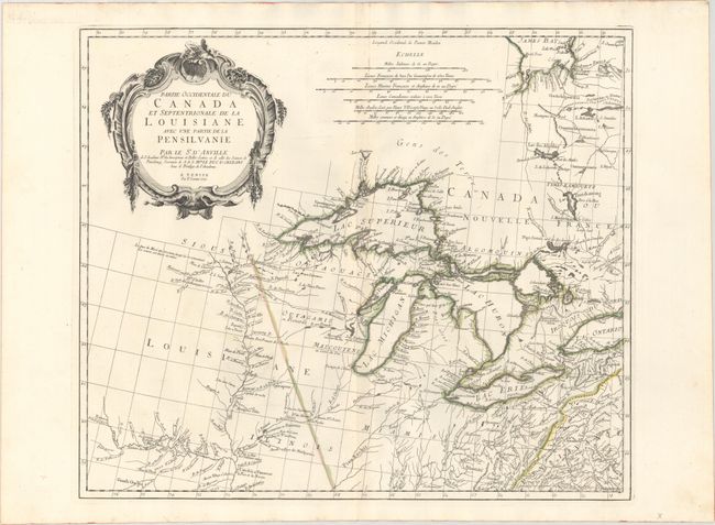
Auction 169, Lot 147
Subject: Colonial Central United States & Canada, Great Lakes
D'Anville/Santini
Partie Occidentale du Canada et Septentrionale de la Louisiane avec une Partie de la Pensilvanie, 1775
Size: 22.3 x 18.9 inches (56.6 x 48 cm)
Estimate: $800 - $950
Sold for: $650
Closed on 9/12/2018
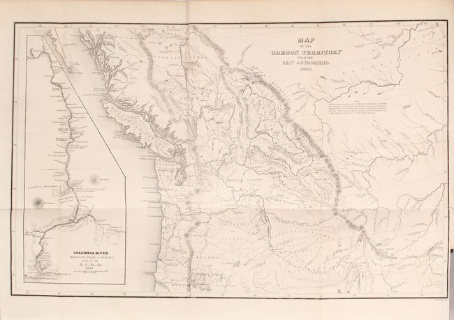
Auction 169, Lot 148
Subject: Northwestern United States & Canada
Wilkes, Charles
Map of the Oregon Territory from the Best Authorities [bound in] Astoria or, Anecdotes of an Enterprise Beyond the Rocky Mountains, 1851
Size: 13.1 x 8.3 inches (33.3 x 21.1 cm)
Estimate: $160 - $190
Sold for: $120
Closed on 9/12/2018
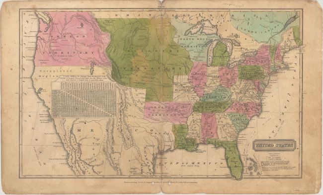
Auction 169, Lot 149
Subject: United States
Robinson, D.F. & Co.
United States, 1828
Size: 17 x 10.3 inches (43.2 x 26.2 cm)
Estimate: $200 - $250
Sold for: $400
Closed on 9/12/2018
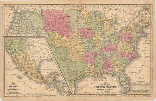
Auction 169, Lot 150
Subject: United States, Atlases
Mitchell, Samuel Augustus
[Lot of 2] No. 5 Map of the United States... [and] Mitchell's School Atlas: Comprising the Maps, Etc., Designed to Illustrate Mitchell's School and Family Geography , 1839-49
Size: See Description
Estimate: $300 - $400
Sold for: $300
Closed on 9/12/2018
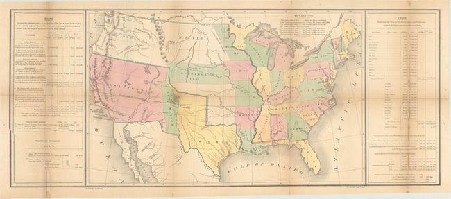
Auction 169, Lot 151
Subject: United States, Texas
Gilman, E.
[Untitled - United States], 1848
Size: 33.4 x 13.8 inches (84.8 x 35.1 cm)
Estimate: $450 - $550
Sold for: $550
Closed on 9/12/2018
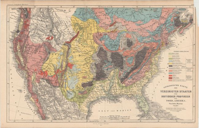
Auction 169, Lot 152
Subject: United States
Marcou, Jules
Geologische Karte der Vereinicten Staaten und Britischen Provinzen von Nord_Amerika, 1855
Size: 15.4 x 9.6 inches (39.1 x 24.4 cm)
Estimate: $240 - $300
Unsold
Closed on 9/12/2018
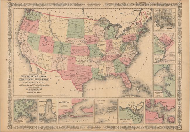
Auction 169, Lot 153
Subject: United States, Civil War
Johnson and Ward
Johnson's New Military Map of the United States Showing the Forts, Military Posts &c. with Enlarged Plans of Southern Harbors..., 1861
Size: 23.9 x 17.5 inches (60.7 x 44.5 cm)
Estimate: $200 - $230
Sold for: $120
Closed on 9/12/2018
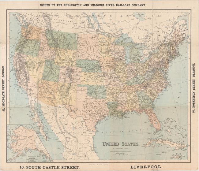
Auction 169, Lot 154
Subject: United States
Bartholomew, John
United States, 1867
Size: 23.8 x 19.9 inches (60.5 x 50.5 cm)
Estimate: $160 - $190
Sold for: $70
Closed on 9/12/2018
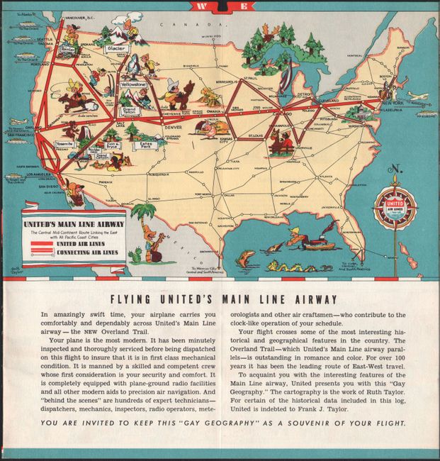
Auction 169, Lot 155
Subject: United States
White, Ruth Taylor
[Lot of 5] United Air Lines - A Gay Geography of the Main Line Airway [and] California [and] Territory of Alaska [and] This Map Locates the Panama Canal Zone, Porto Rico and Virgin Islands... [and] Louisiana, 1939
Size: See Description
Estimate: $250 - $325
Sold for: $150
Closed on 9/12/2018
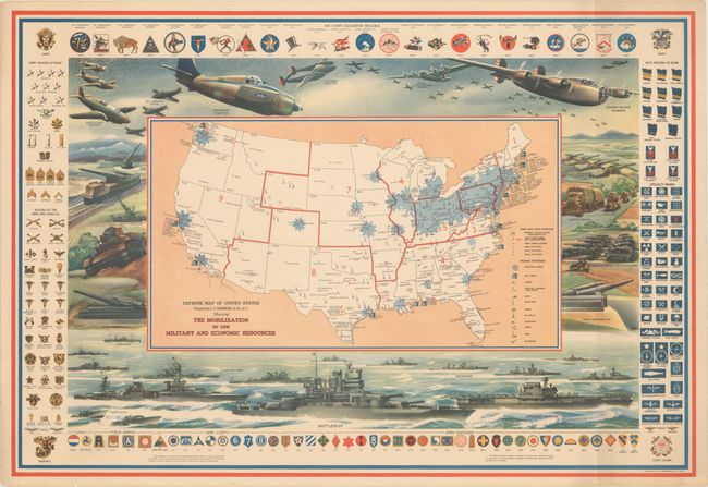
Auction 169, Lot 156
Subject: United States, World War II
Hammond, C. S.
Defense Map of United States Prepared by C.S. Hammond & Co., N.Y. Showing the Mobilization of Our Military and Economic Resources, 1942
Size: 31 x 21.1 inches (78.7 x 53.6 cm)
Estimate: $450 - $550
Sold for: $325
Closed on 9/12/2018
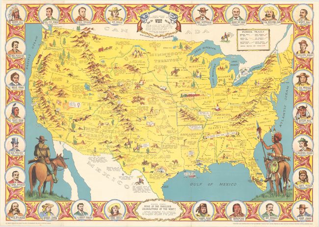
Auction 169, Lot 157
Subject: United States
Danny Arnold's Pictorial Map of How the West Was Won Showing Pioneer Trails and Battles, Indian's Territories, Stagecoach Lines..., 1950
Size: 33.8 x 23.9 inches (85.9 x 60.7 cm)
Estimate: $150 - $200
Sold for: $325
Closed on 9/12/2018
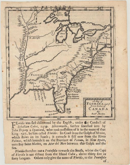
Auction 169, Lot 158
Subject: Colonial Eastern United States
Morden, Robert
A Map of Florida and ye Great Lakes of Canada, 1688
Size: 4.9 x 5.1 inches (12.4 x 13 cm)
Estimate: $600 - $750
Sold for: $450
Closed on 9/12/2018
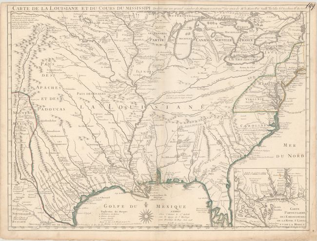
Auction 169, Lot 159
Subject: Colonial Eastern United States
Delisle, Guillaume
Carte de la Louisiane et du Cours du Mississipi Dressee sur un Grand Nombre de Memoires Entrautres sur ceux de Mr. le Maire, 1718
Size: 25.3 x 19.1 inches (64.3 x 48.5 cm)
Estimate: $6,000 - $7,500
A Foundation Map for the Mississippi Valley and the First Appearance of Texas on a Printed Map
Sold for: $4,000
Closed on 9/12/2018
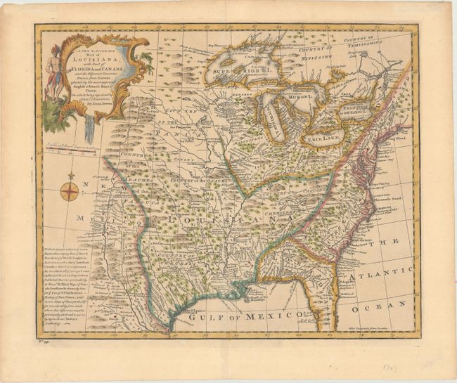
Auction 169, Lot 160
Subject: Colonial Eastern United States
Bowen, Emanuel
A New & Accurate Map of Louisiana, with Part of Florida and Canada, and the Adjacent Countries. Drawn from Surveys, Assisted by the Most Approved English & French Maps & Charts..., 1747
Size: 16.4 x 13.6 inches (41.7 x 34.5 cm)
Estimate: $800 - $950
Sold for: $600
Closed on 9/12/2018
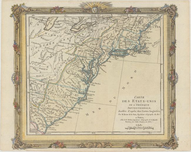
Auction 169, Lot 161
Subject: Eastern United States
Brion de la Tour/Desnos
Carte des Etats-Unis de l'Amerique Septentrionale, Dressee d'Apres des Cartes Anglaises, 1784
Size: 12.4 x 11 inches (31.5 x 27.9 cm)
Estimate: $275 - $350
Sold for: $190
Closed on 9/12/2018
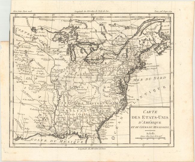
Auction 169, Lot 162
Subject: Eastern United States, Franklin
Brion de la Tour, Louis
Carte des Etats-Unis d'Amerique et du Cours du Mississipi, 1788
Size: 10.6 x 8.7 inches (26.9 x 22.1 cm)
Estimate: $900 - $1,100
One of the Earliest Maps to Feature the State of Franklin
Unsold
Closed on 9/12/2018
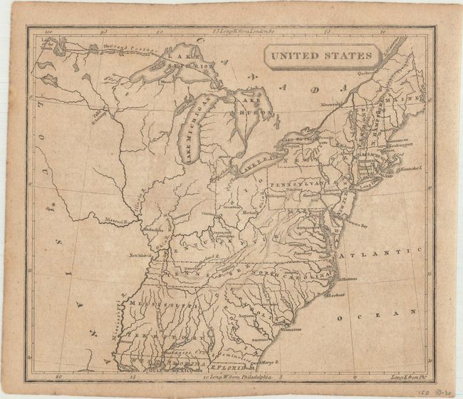
Auction 169, Lot 163
Subject: Eastern United States
Anon.
United States, 1805
Size: 7.1 x 6.1 inches (18 x 15.5 cm)
Estimate: $140 - $170
Sold for: $100
Closed on 9/12/2018
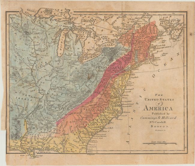
Auction 169, Lot 164
Subject: Eastern United States
Cummings & Hilliard
The United States of America, 1816
Size: 10.9 x 9.1 inches (27.7 x 23.1 cm)
Estimate: $450 - $550
Sold for: $230
Closed on 9/12/2018
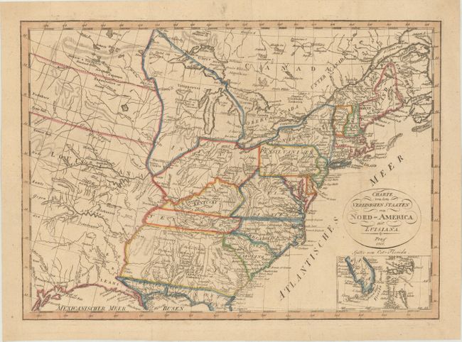
Auction 169, Lot 165
Subject: Eastern United States
Pluth, F.
Charte von den Vereinigten Staaten von Nord-America mit Luisiana, 1818
Size: 16.3 x 11.7 inches (41.4 x 29.7 cm)
Estimate: $300 - $400
Depicts the Short-Lived Region of "Neu Orleans"
Sold for: $220
Closed on 9/12/2018
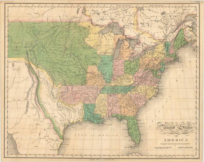
Auction 169, Lot 166
Subject: Eastern United States
Melish, John
United States of America Compiled from the Latest & Best Authorities, 1820
Size: 21.2 x 16.9 inches (53.8 x 42.9 cm)
Estimate: $650 - $800
Sold for: $650
Closed on 9/12/2018
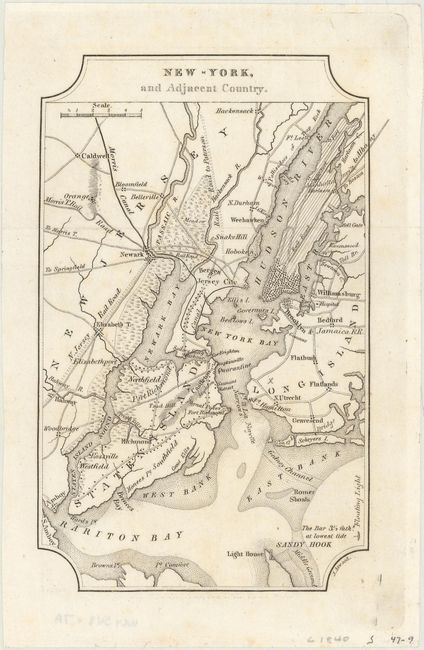
Auction 169, Lot 167
Subject: Eastern United States Cities
Melish, John
[Lot of 7] New-York, and Adjacent Country [and] District of Columbia [and] Boston... [and] Baltimore, Annapolis... [and] Charleston... [and] View of the Country Round the Falls of Niagara [and] Ballston & Saratoga Springs, City of Albany..., 1822
Size: 4 x 6.4 inches (10.2 x 16.3 cm)
Estimate: $450 - $550
NO RESERVE
Unsold
Closed on 9/12/2018
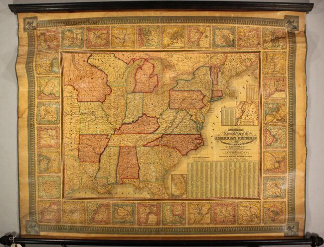
Auction 169, Lot 168
Subject: Eastern United States
Mitchell, Samuel Augustus
Mitchell's National Map of the American Republic or United States of North America. Together with Maps of the Vicinities of Thirty-Two of the Principal Cities and Towns in the Union, 1845
Size: 42.2 x 33.5 inches (107.2 x 85.1 cm)
Estimate: $800 - $1,000
Sold for: $425
Closed on 9/12/2018
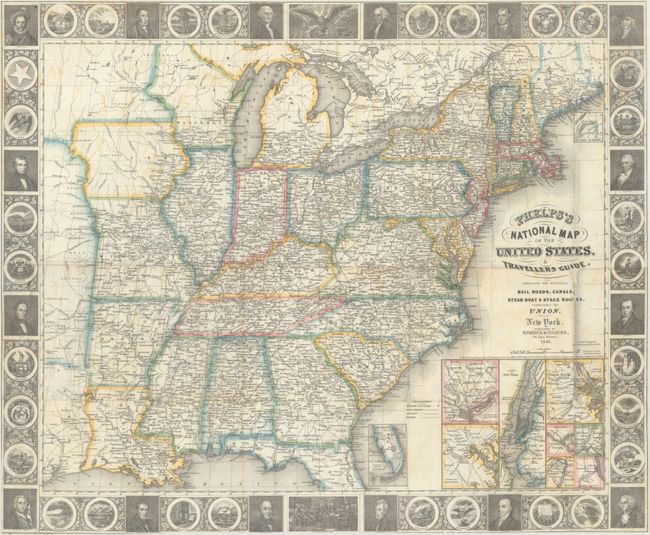
Auction 169, Lot 169
Subject: Eastern United States
Phelps, Ensigns & Thayer
Phelps's National Map of the United States, A Travellers Guide. Embracing the Principal Rail Roads, Canals, Steam Boat & Stage Routes, Throughout the Union, 1848
Size: 25.5 x 21 inches (64.8 x 53.3 cm)
Estimate: $750 - $900
Sold for: $475
Closed on 9/12/2018
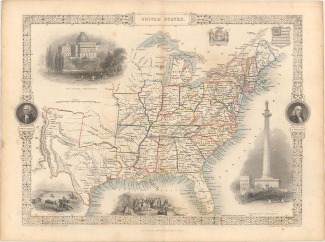
Auction 169, Lot 170
Subject: Eastern United States
Tallis, John
United States, 1850
Size: 13.4 x 9.7 inches (34 x 24.6 cm)
Estimate: $250 - $325
Sold for: $160
Closed on 9/12/2018
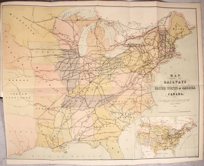
Auction 169, Lot 171
Subject: Eastern United States, Railroads
Map Shewing the Railways in the United States of America and Canada... [bound in] Report to the Lords of the Committee of Privy Council for Trade and Foreign Plantations..., 1857
Size: 26.6 x 20.6 inches (67.6 x 52.3 cm)
Estimate: $400 - $475
Rare British Report on American Railroads with Large Map
Sold for: $200
Closed on 9/12/2018
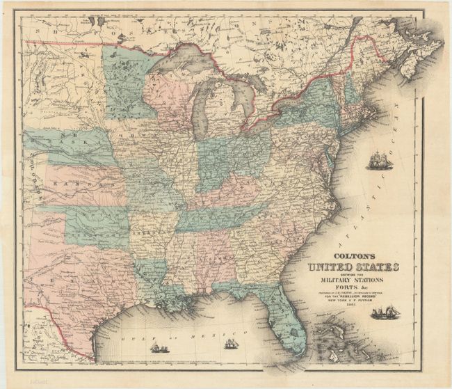
Auction 169, Lot 172
Subject: Eastern United States, Civil War
Colton, Joseph Hutchins
Colton's United States Shewing the Military Stations Forts &c, 1861
Size: 17.4 x 14.8 inches (44.2 x 37.6 cm)
Estimate: $200 - $230
Sold for: $150
Closed on 9/12/2018
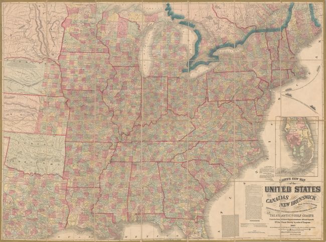
Auction 169, Lot 173
Subject: Eastern United States
Lloyd, James T.
Lloyd's New Map of the United States the Canadas and New Brunswick from the Latest Surveys Showing Every Railroad & Station Finished to June 1862 and the Atlantic and Gulf Coasts..., 1863
Size: 49.9 x 37.3 inches (126.7 x 94.7 cm)
Estimate: $600 - $750
Sold for: $200
Closed on 9/12/2018
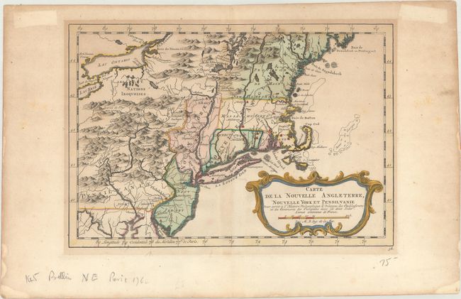
Auction 169, Lot 174
Subject: Colonial New England & Mid-Atlantic United States
Bellin, Jacques Nicolas
Carte de la Nouvelle Angleterre, Nouvelle York et Pensilvanie pour Servir a l'Histoire Philosophique & Politique des Etablissemens et du Commerce des Europeens dans les Deux Indes, 1783
Size: 11.6 x 7.9 inches (29.5 x 20.1 cm)
Estimate: $200 - $230
Sold for: $150
Closed on 9/12/2018
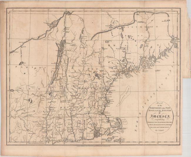
Auction 169, Lot 175
Subject: New England - United States
Russell, John C.
Map of the Northern, or, New England States of America, Comprehending Vermont, New Hampshire, District of Main, Massachusetts, Rhode-Island, and Connecticut, 1795
Size: 18.3 x 14.4 inches (46.5 x 36.6 cm)
Estimate: $350 - $425
Sold for: $250
Closed on 9/12/2018
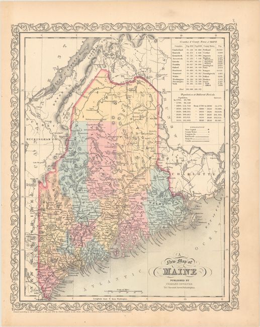
Auction 169, Lot 176
Subject: New England - United States
Desilver, Charles
[Lot of 4] A New Map of Maine [with] Map of New Hampshire & Vermont [with] Map of Massachusetts and Rhode Island [and] Map of Connecticut, 1856
Size: 12.1 x 15.3 inches (30.7 x 38.9 cm)
Estimate: $160 - $190
Sold for: $100
Closed on 9/12/2018
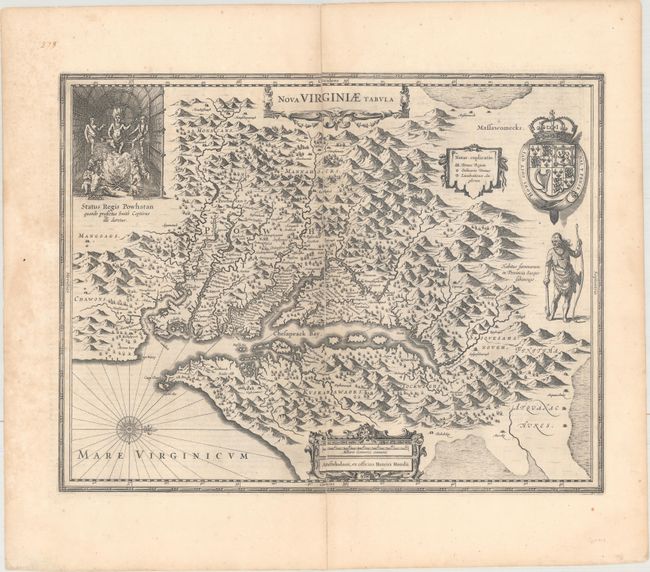
Auction 169, Lot 177
Subject: Colonial Mid-Atlantic United States
Hondius, Henricus
Nova Virginiae Tabula, 1652
Size: 19.4 x 15 inches (49.3 x 38.1 cm)
Estimate: $1,600 - $1,900
One of the Most Important 17th Century Maps of the Chesapeake Bay
Sold for: $1,200
Closed on 9/12/2018
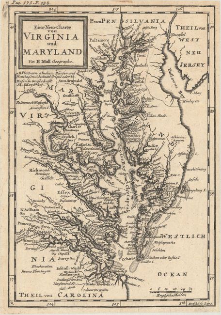
Auction 169, Lot 178
Subject: Colonial Mid-Atlantic United States
Moll, Herman
Eine Neue Charte von Virginia und Maryland, 1729
Size: 6.9 x 10 inches (17.5 x 25.4 cm)
Estimate: $600 - $750
Sold for: $900
Closed on 9/12/2018
193 lots
Page 1 of 4