Subject: United States
Period: 1939 (circa)
Publication:
Color: Printed Color
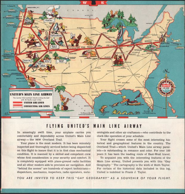
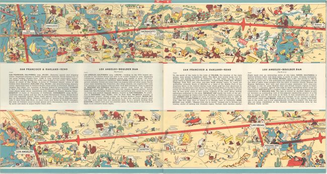
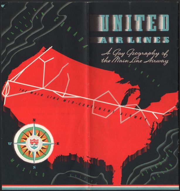
A. United Air Lines - A Gay Geography of the Main Line Airway (19.8 x 5.9"). This colorful 16-page brochure features ten distinctive pictographic maps by Ruth Taylor. The maps detail the air trails across the United States as flown by United Airlines in the late 1930's. Each map is densely filled with Taylor's playful images describing industry and activities in the area. The dimensions given are for each two-page spread as this is the layout employed in the brochure. The dramatic cover is in bold red and black with art deco titling. The newly created Boulder Dam (September 1935) is shown suggesting a publication date in the late 1930's. Passengers were given this brochure as a souvenir of their flight in the innovative DC-3 aircraft. Condition: Near fine. (A)
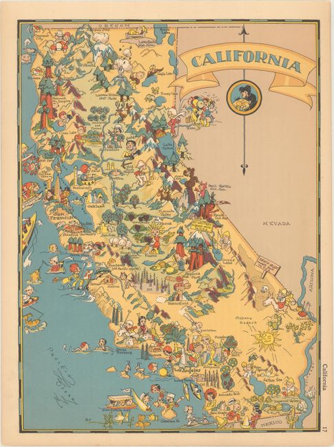
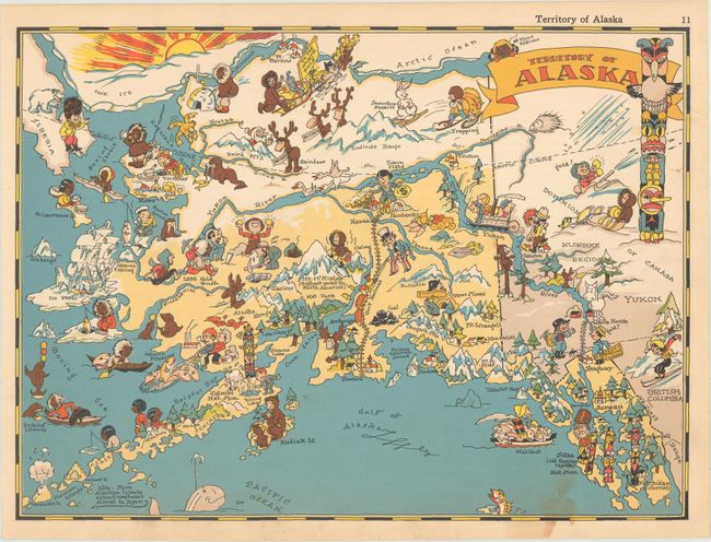
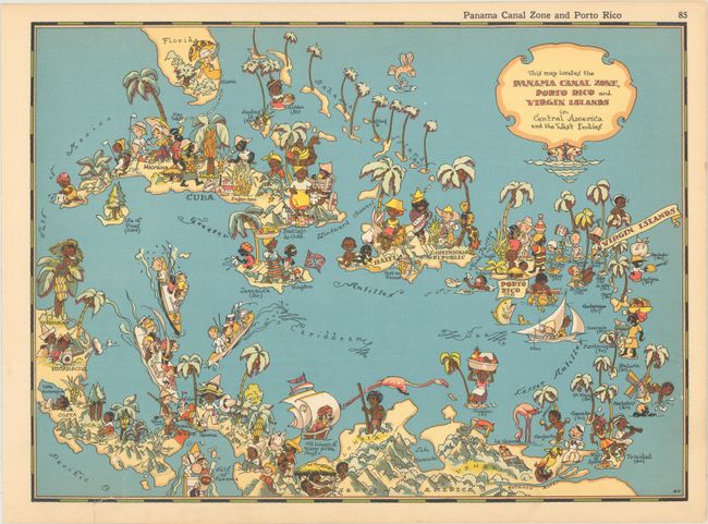
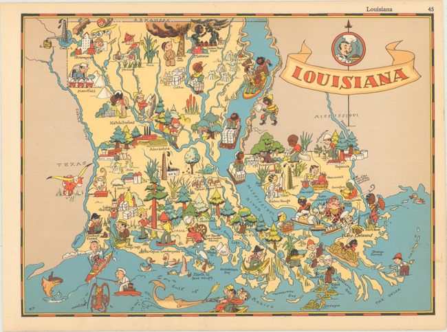
B. [Lot of 4] California [and] Territory of Alaska [and] This Map Locates the Panama Canal Zone, Porto Rico and Virgin Islands...[and] Louisiana, from The Gay Geography, (all approximately 11.5 x 8.5"). This lot contains 4 of Ruth Taylor White's charming pictorial maps, which are among the most popular collectible maps of the early 20th century. These whimsical maps, often known as cartographs, combine graphic style, color and comical observation. While the maps do show the stereotypes of the day, they are nonetheless memorable because of it. Shortly after the publication of the first edition in 1935, the New York Times reviewed it as follows: "Any one who remembers his childhood efforts to visualize Kentucky as something more than the green spot on the map, or New York as the pink State, will appreciate this volume. Brilliantly colored pictorial maps of the same order which have been amusing adults for the past decade show the United States and their Territories as active, picturesque entities" (November 17th, 1935). Condition: Mostly clean and colorful with short edge tears at the bottom of the Louisiana and Panama Canal Zone maps that have been closed on verso with archival tape. (B+)
References:
Condition:
See description above.