Catalog Archive
Auction 169, Lot 176

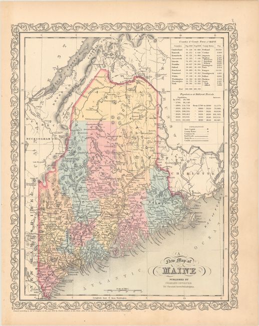
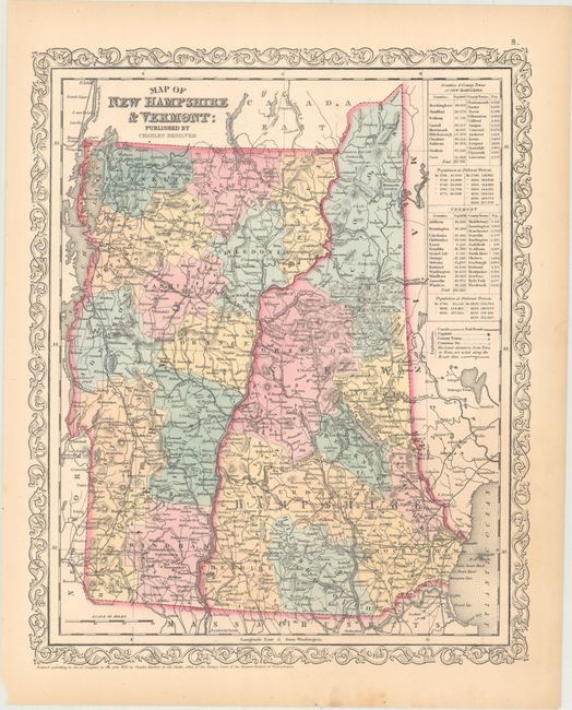
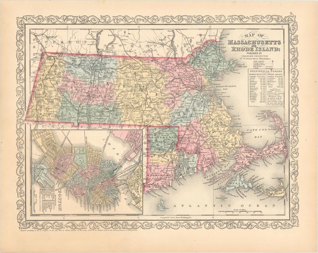
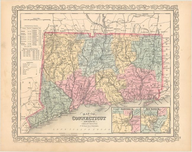
"[Lot of 4] A New Map of Maine [with] Map of New Hampshire & Vermont [with] Map of Massachusetts and Rhode Island [and] Map of Connecticut", Desilver, Charles

Subject: New England - United States

Period: 1856 (dated)

Publication: New Universal Atlas

Color: Hand Color

Size:
12.1 x 15.3 inches
30.7 x 38.9 cm
Download High Resolution Image
(or just click on image to launch the Zoom viewer)

This lot of maps are from the uncommon issue by Desilver. Each is colored by county with details showing all towns and villages, wagon roads, railroads, rivers, canals, topography in hachure, county seats, etc. Statistical table lists 1850 census by county and historic populations. The Massachusetts and Rhode Island map features an inset of Boston at bottom left. Small insets of Hartford and New Haven and their surroundings appear at bottom right on the Connecticut map. Desilver's unique strapwork-style border surrounds each map.

References:

Condition: A

Marginal toning and a few faint spots.

Estimate: $160 - $190

Sold for: $100

Closed on 9/12/2018

Archived