Subject: Northwestern United States & Canada
Period: 1851 (published)
Publication:
Color: Black & White
Size:
13.1 x 8.3 inches
33.3 x 21.1 cm
The United States and Great Britain established in 1818 joint claim over the Oregon Territory - the region north of Spanish controlled Upper California up to the southern boundary of Russia's Alaska Territory at North latitude 54°40'. By the late 1830's this arrangement was beginning to fall apart.
In the 1840's the expansionist Democrats, including their 1844 presidential candidate, James Polk, claimed the entire region for the United States. Their expansionist desires were expressed by Polk's famous campaign slogan, "Fifty-four Forty or Fight!" The slogan also became a rally cry for Americans desiring to settle the territory. Following Polk's election, the dispute was resolved by the 1846 Treaty of Oregon, which struck a compromise that fixed the U.S./Canadian boundary at 49º North.
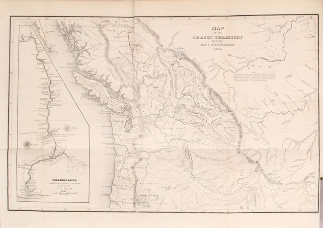
This is the reduced edition of Wilkes' map that was a major contribution to American cartography and the most detailed map of the region north of the Sacramento River. It provided Americans with an accurate view of an area still virtually unknown in the mid-nineteenth century. Wilkes stood with Senator Lewis Linn in the famous 54-40 or Fight controversy, supporting the view that the northwest boundary of America should be 54° 40' North. This map was used to illustrate that his claim was based on 'topographical' grounds and was instrumental in setting the scene for American interests in the territory. The map covers the region from Fraser's Fort and Fort St. James in British Columbia south to the upper Sacramento River, and from the Pacific coast to the Black Hills east of the Rocky Mountains. The map provides excellent detail of the region including dozens of forts, watershed, and other place names. A large inset map "Columbia River Reduced from a Survey Made by the U.S. Ex. Ex. 1841" depicts the river from Ft. Walla Walla to its mouth, where one of Wilkes' ships, the Peacock, was lost on the infamous Columbia Bar. It also features details of missions, Indian villages, and the major mountains. Engraved by Edward Yeager.
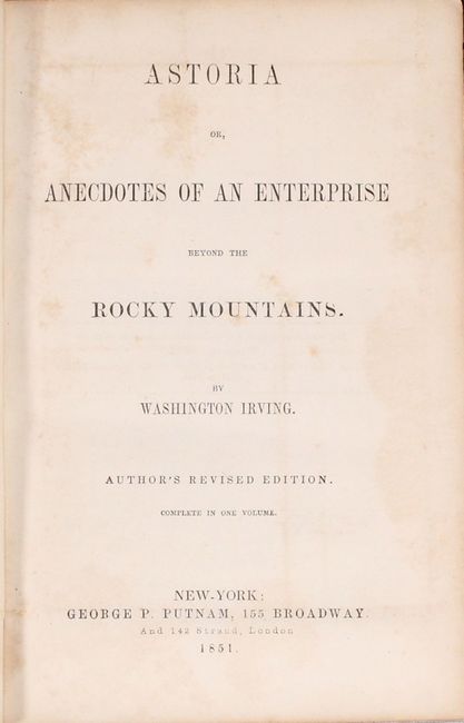
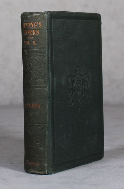
The map is still bound into a later edition of Washington Irving's Astoria or, Anecdotes of an Enterprise Beyond the Rocky Mountains, complete in one volume. Irving's history concerns John Jacob Astor's attempt to bring the fur trade across the Rockies and to the shores of the Pacific . It was based on revised transcripts of the journals of Robert Stuart , Wilson Price Hunt, and Ramsay Crooks. 519 pages. 12mo, hardbound in green cloth.
References: Wheat (TMW) #655; Hayes #199.
Condition: A
The map is near fine with a hint of toning along the fold lines and top edge of the sheet. Text is very good with occasional light toning or a spot of foxing. Covers have light wear with bumped edges.