Filtered by Category:United States(Show All Categories)
Showing results for:Auction 91
Catalog Archive
60 lots
Page 1 of 2
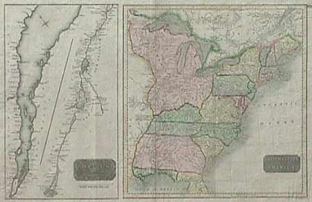
Auction 91, Lot 99
Subject: Canada and United States
The Course of the River St Laurence, from Lake Ontario to Manicougan Point./ United States of America, 1817
Size: 24 x 18 inches (61 x 45.7 cm)
Estimate: $300 - $375
Sold for: $275
Closed on 6/14/2000
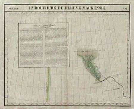
Auction 91, Lot 100
Subject: Canada and Alaska
Embouchure du Fleuve Mackensie, 1825-27
Size: 22.8 x 19 inches (57.9 x 48.3 cm)
Estimate: $275 - $350
Sold for: $250
Closed on 6/14/2000
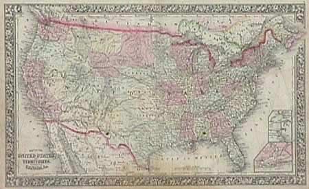
Auction 91, Lot 101
Subject: Canada and United States
Lot of 5 maps, 1860
Size: See Description
Estimate: $100 - $150
Sold for: $170
Closed on 6/14/2000
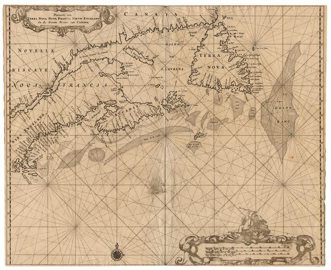
Auction 91, Lot 102
Subject: Canada and United States
Pascaerte van Terra Nova, Nova Francia Nieuw Engeland en de Groote Revier van Canada, 1675
Size: 17.1 x 21 inches (43.4 x 53.3 cm)
Estimate: $11,000 - $12,000
Sold for: $6,000
Closed on 6/14/2000

Auction 91, Lot 120
Subject: Colonial United States
Kalm, Peter
Nieuwe en Nauwkeurige Kaart van een gedeelte van Noord Amerika, behelzende Nieuw Engeland, New York, Pensylvania, New Jersey, Connecticut, Rhode Island, een Stuk van Virginia, Kanada en Halifax, 1772
Size: 29.8 x 22 inches (75.7 x 55.9 cm)
Estimate: $1,900 - $2,100
Unsold
Closed on 6/14/2000
Auction 91, Lot 123
Subject: Colonial United States and Canada
Anon.
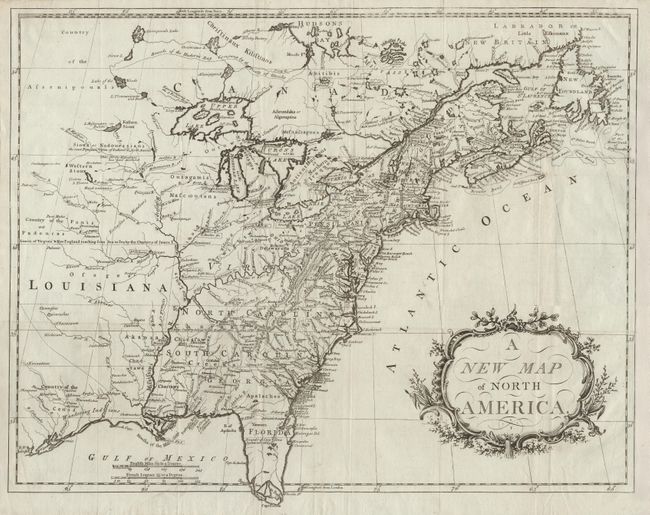
A New Map of North America, 1779-80
Size: 21.7 x 16.7 inches (55.1 x 42.4 cm)
Estimate: $1,500 - $1,600
Unsold
Closed on 6/14/2000
Auction 91, Lot 126
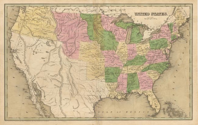
Subject: United States
Lot of 6 maps, 1838-41
Size: See Description
Estimate: $80 - $100
Sold for: $190
Closed on 6/14/2000
Auction 91, Lot 127
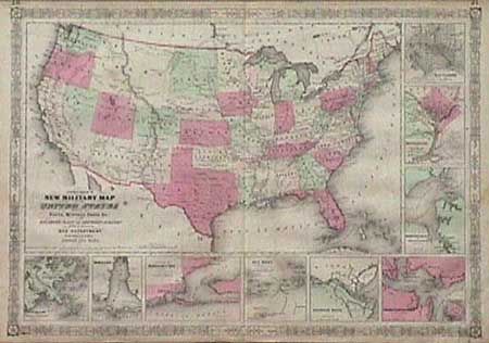
Subject: United States
New Military Map of the United States showing the Forts, Military Posts &c. with Enlarged Plans of Southern Harbors…, 1865
Size: 23.5 x 17 inches (59.7 x 43.2 cm)
Estimate: $180 - $230
Sold for: $325
Closed on 6/14/2000
Auction 91, Lot 128
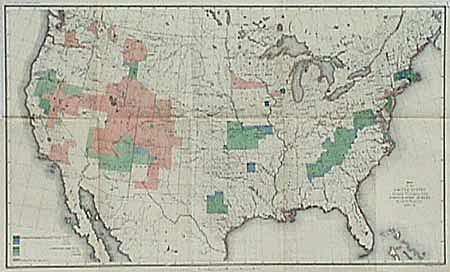
Subject: United States
Map of the United States Showing the Progress of the Topographic Survey during the fiscal year 1887-8, 1888
Size: 28.2 x 17.2 inches (71.6 x 43.7 cm)
Estimate: $50 - $75
Sold for: $60
Closed on 6/14/2000

Auction 91, Lot 129
Subject: United States
Rand McNally & Co.
[Lot of 6 maps], 1895
Size: 9.2 x 12.4 inches (23.4 x 31.5 cm)
Estimate: $150 - $250
Sold for: $80
Closed on 6/14/2000
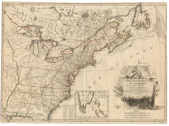
Auction 91, Lot 130
Subject: Eastern United States
Carte des Etats-Unis de l'Amerique Suivant le Traite de Paix de…Dediee et Presentee a S. Excellence Mr. Benjamin Franklin…, 1784
Size: 30 x 21.325 inches (76.2 x 54.2 cm)
Estimate: $4,000 - $4,500
Sold for: $2,750
Closed on 6/14/2000
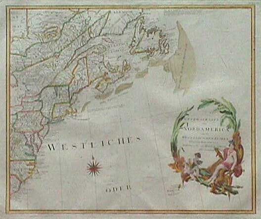
Auction 91, Lot 131
Subject: Eastern United States
General Karte von Nord America samt den West Indischen Inseln Verasst von Herrn Pownall, 1788
Size: 22.7 x 20 inches (57.7 x 50.8 cm)
Estimate: $750 - $850
Sold for: $550
Closed on 6/14/2000
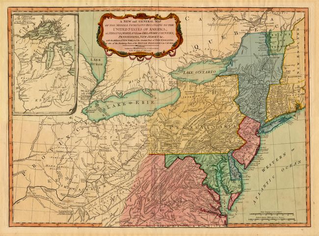
Auction 91, Lot 132
Subject: Eastern United States
A New and General Map of the Middle Dominions Belonging to the United States of America viz. Virginia, Maryland, the Delaware-Counties, Pennsylvania, New Jersy, &c with the Addition of New York, & of the Greatest Part of New England &c…, 1794
Size: 25.7 x 18.7 inches (65.3 x 47.5 cm)
Estimate: $1,000 - $1,200
Sold for: $1,000
Closed on 6/14/2000
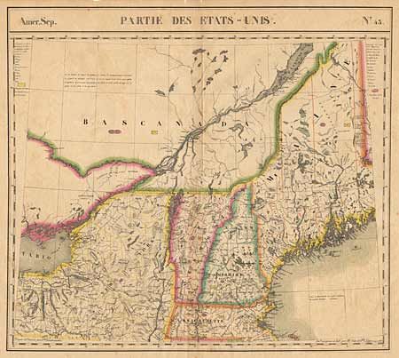
Auction 91, Lot 133
Subject: Northeastern United States
Partie des Etats Unis No 43, 1825
Size: 19.75 x 18 inches (50.2 x 45.7 cm)
Estimate: $350 - $400
Sold for: $250
Closed on 6/14/2000

Auction 91, Lot 135
Subject: Colonial South
Anville, Jean Baptiste Bourguignon d'
Carte de la Louisiane, 1752
Size: 20.5 x 36 inches (52.1 x 91.4 cm)
Estimate: $1,200 - $1,400
Unsold
Closed on 6/14/2000
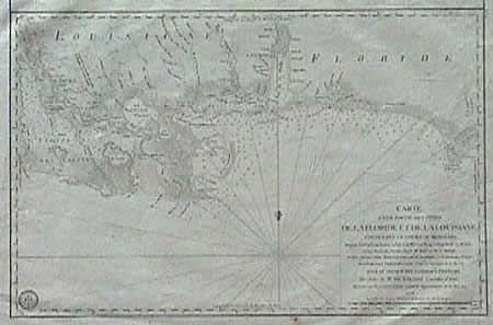
Auction 91, Lot 136
Subject: Southern United States
Carte d'une partie des Cotes de la Floride et de la Louisiane, contenant le Cours du Mississipi, Depuis ses Embouchures jusqu a la Riviere Rouge, l'Entrée de la Mobile, et les Baies de Pensacola, de Ste. Rose et de S. Joseph…, 1778
Size: 22.5 x 15.2 inches (57.2 x 38.6 cm)
Estimate: $950 - $1,100
Sold for: $700
Closed on 6/14/2000
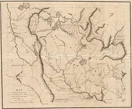
Auction 91, Lot 137
Subject: Central United States
Map of the route passed over by an Expedition into the Indian Country in 1832 to the Source of the Mississippi, 1834
Size: 19 x 15.5 inches (48.3 x 39.4 cm)
Estimate: $275 - $350
Sold for: $400
Closed on 6/14/2000
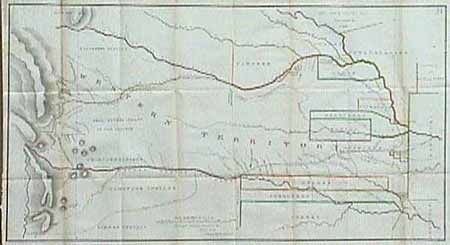
Auction 91, Lot 138
Subject: Central United States
Lands Ceded by Sioux, Sacs, Foxes, Otoes, Ioways & C. in 1825, 1836
Size: 34.5 x 19.4 inches (87.6 x 49.3 cm)
Estimate: $400 - $450
Sold for: $550
Closed on 6/14/2000
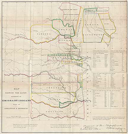
Auction 91, Lot 139
Subject: Central United States
Map showing the lands assigned to Emigrant Indians west of Arkansas & Missouri, 1860
Size: 17.7 x 18.7 inches (45 x 47.5 cm)
Estimate: $300 - $375
Sold for: $275
Closed on 6/14/2000
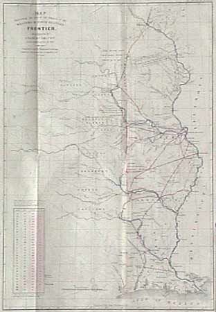
Auction 91, Lot 140
Subject: Central United States
[Pair of maps] - Map Illustrating the plan of the defenses of the Western & North Western Frontier…, 1860
Size: 15 x 21 inches (38.1 x 53.3 cm)
Estimate: $800 - $900
Sold for: $475
Closed on 6/14/2000
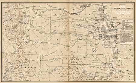
Auction 91, Lot 141
Subject: Central United States
Map of the States of Kansas and Texas and Indian Territory with parts of the Territories of Colorado and New Mexico, 1891-95
Size: 27.5 x 16.5 inches (69.9 x 41.9 cm)
Estimate: $80 - $120
Sold for: $110
Closed on 6/14/2000
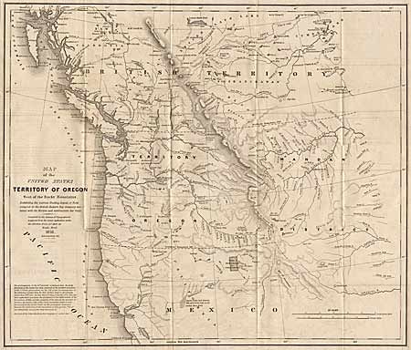
Auction 91, Lot 142
Subject: Northwestern United States
Map of the United States Territory of Oregon West of the Rocky Mountains Exhibiting the Various Trading Depots or Forts Occupied by the British Hudson Bay Company, connected with the Western and northwestern Fur Trade, 1838
Size: 20.4 x 17.5 inches (51.8 x 44.5 cm)
Estimate: $400 - $475
Sold for: $275
Closed on 6/14/2000
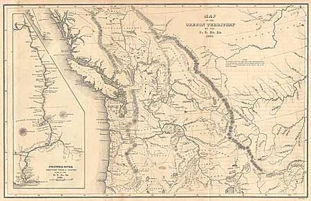
Auction 91, Lot 143
Subject: Northwestern United States
Map of Oregon Territory, 1841
Size: 8.5 x 13 inches (21.6 x 33 cm)
Estimate: $300 - $375
Sold for: $400
Closed on 6/14/2000
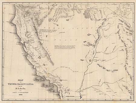
Auction 91, Lot 144
Subject: Western United States
Map of California, 1841
Size: 11.2 x 8.5 inches (28.4 x 21.6 cm)
Estimate: $200 - $240
Sold for: $275
Closed on 6/14/2000
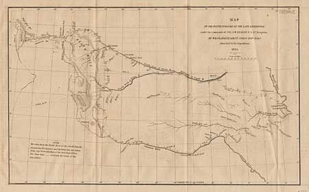
Auction 91, Lot 145
Subject: Western United States
Map of the Route Pursued by the Late Expedition under the command of Co. S.W. Kearny, U.S. 1st Dragoons, 1879
Size: 13 x 7.7 inches (33 x 19.6 cm)
Estimate: $180 - $200
Sold for: $250
Closed on 6/14/2000
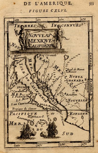
Auction 91, Lot 146
Subject: Southwestern United States
Nouveau Mexique et Californie, 1683
Size: 3.8 x 5.6 inches (9.7 x 14.2 cm)
Estimate: $450 - $550
Sold for: $650
Closed on 6/14/2000

Auction 91, Lot 147
Subject: Southwestern United States
Preliminary Map of the Western Portion of the Reconnaissance and Survey for a Pacific Railroad Route near the 35th Par., 1857-8
Size: 48 x 26.2 inches (121.9 x 66.5 cm)
Estimate: $180 - $220
Sold for: $210
Closed on 6/14/2000
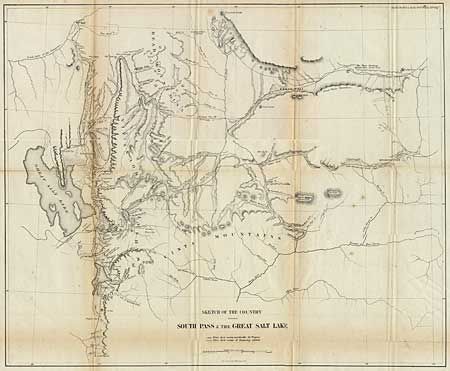
Auction 91, Lot 148
Subject: Western United States
Sketch of the Country between South Pass and the Great Salt Lake, 1860
Size: 21.7 x 17.5 inches (55.1 x 44.5 cm)
Estimate: $100 - $130
Sold for: $55
Closed on 6/14/2000
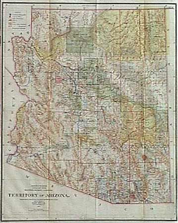
Auction 91, Lot 149
Subject: Arizona
Territory of Arizona, 1901
Size: 17 x 20 inches (43.2 x 50.8 cm)
Estimate: $150 - $180
Sold for: $220
Closed on 6/14/2000
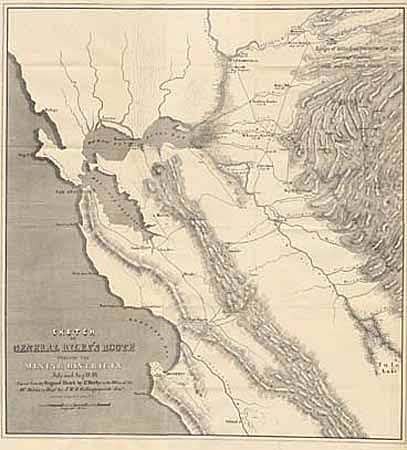
Auction 91, Lot 150
Subject: California & Gold Rush
Sketch of General Riley's Route through the Mining Districts July & August 1849. Lt Derby 1850., 1850
Size: 20 x 21 inches (50.8 x 53.3 cm)
Estimate: $475 - $550
Sold for: $800
Closed on 6/14/2000
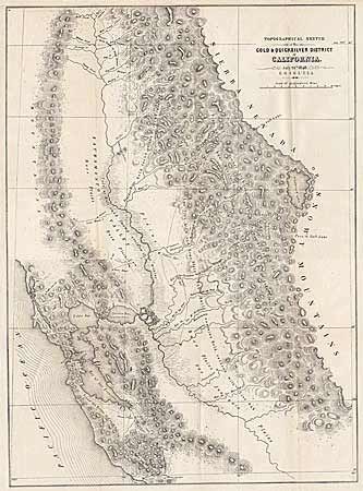
Auction 91, Lot 151
Subject: California
Topographical Sketch of the Gold & Quicksilver District of California, 1848
Size: 15.5 x 21.5 inches (39.4 x 54.6 cm)
Estimate: $450 - $550
Sold for: $650
Closed on 6/14/2000
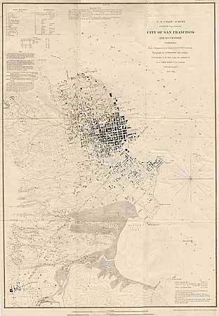
Auction 91, Lot 152
Subject: California
City of San Francisco and its Vicinity, California, 1853
Size: 17.8 x 25.3 inches (45.2 x 64.3 cm)
Estimate: $300 - $375
Sold for: $325
Closed on 6/14/2000
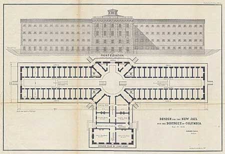
Auction 91, Lot 153
Subject: District of Columbia and Maryland
Lot of three plans, 1854
Size: See Description
Estimate: $30 - $40
Sold for: $22
Closed on 6/14/2000
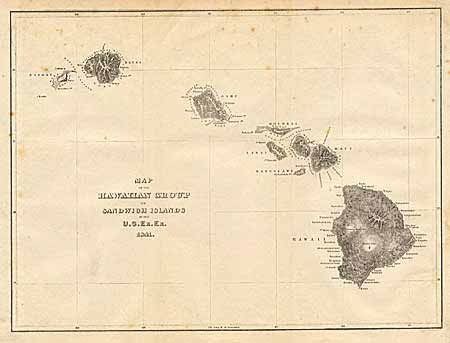
Auction 91, Lot 154
Subject: Hawaii
Map of the Hawaiian Group or Sandwich Islands, 1841
Size: 11 x 8.4 inches (27.9 x 21.3 cm)
Estimate: $200 - $250
Sold for: $110
Closed on 6/14/2000
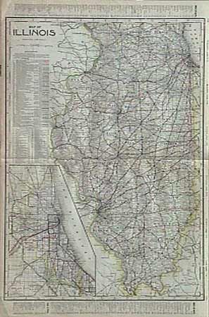
Auction 91, Lot 155
Subject: Illinois
Map of Illinois, 1906
Size: 17.5 x 23.5 inches (44.5 x 59.7 cm)
Estimate: $50 - $60
Sold for: $65
Closed on 6/14/2000
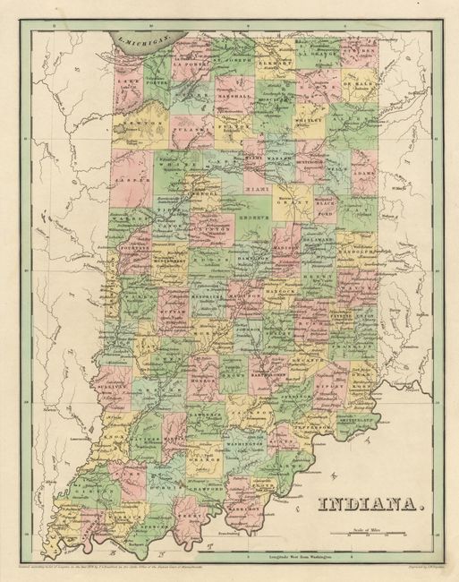
Auction 91, Lot 156
Subject: Indiana
Indiana, 1838
Size: 11.2 x 14.4 inches (28.4 x 36.6 cm)
Estimate: $100 - $130
Sold for: $95
Closed on 6/14/2000
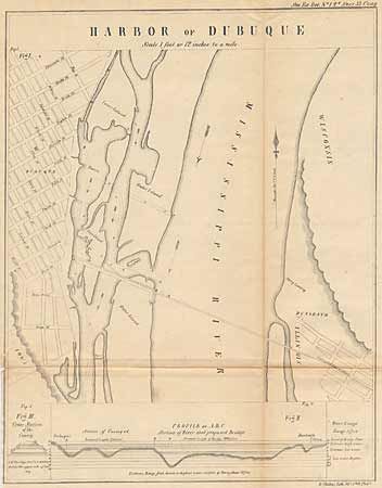
Auction 91, Lot 157
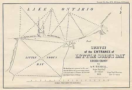
Subject: Iowa
Harbor of Dubuque, 1854
Size: 11 x 14 inches (27.9 x 35.6 cm)
Estimate: $75 - $100
Sold for: $25
Closed on 6/14/2000
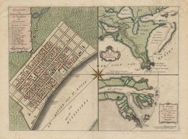
Auction 91, Lot 158
Subject: Louisiana
Grondvlakte von Nieuw Orleans, de Hoofdstad van Louisiana, 1763
Size: 17.5 x 13 inches (44.5 x 33 cm)
Estimate: $750 - $850
Sold for: $800
Closed on 6/14/2000
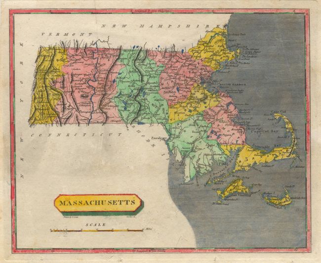
Auction 91, Lot 159
Subject: Massachusetts
Massachusetts, 1804
Size: 9.7 x 7.7 inches (24.6 x 19.6 cm)
Estimate: $100 - $130
Sold for: $80
Closed on 6/14/2000
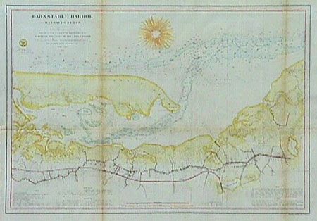
Auction 91, Lot 160
Subject: Massachusetts
Barnstable Harbor Massachusetts, 1861
Size: 22.7 x 16.2 inches (57.7 x 41.1 cm)
Estimate: $95 - $110
Sold for: $350
Closed on 6/14/2000
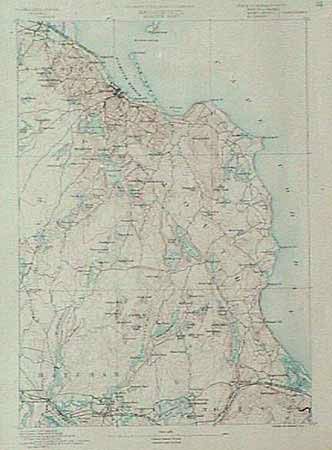
Auction 91, Lot 161
Subject: Massachusetts
Massachusetts Plymouth Sheet, 1887
Size: 13 x 17.5 inches (33 x 44.5 cm)
Estimate: $50 - $70
Sold for: $110
Closed on 6/14/2000
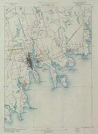
Auction 91, Lot 162
Subject: Massachusetts
Massachusetts New Bedford Sheet, 1887
Size: 13 x 17.5 inches (33 x 44.5 cm)
Estimate: $40 - $60
Sold for: $110
Closed on 6/14/2000
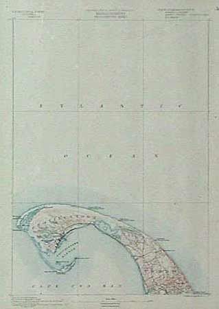
Auction 91, Lot 163
Subject: Massachusetts
Massachusetts Provincetown Sheet, 1887
Size: 13 x 17.5 inches (33 x 44.5 cm)
Estimate: $40 - $60
Sold for: $0
Closed on 6/14/2000
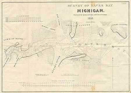
Auction 91, Lot 164
Subject: Michigan - Ohio
Survey of Havre Bay, Michigan. Surveyed by Lieuts. A. J. Center and E. Rose, U. S. Army. 1836. Drawn by J. M. Berrien., 1836
Size: 19.9 x 14 inches (50.5 x 35.6 cm)
Estimate: $120 - $150
Sold for: $60
Closed on 6/14/2000
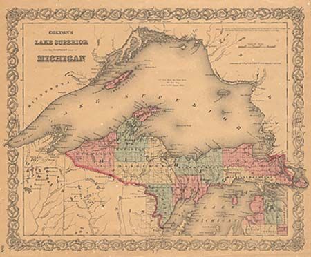
Auction 91, Lot 165
Subject: Michigan
Lake Superior and the Northern Part of Michigan, 1855
Size: 15.9 x 13 inches (40.4 x 33 cm)
Estimate: $60 - $80
Sold for: $80
Closed on 6/14/2000

Auction 91, Lot 166
Subject: Michigan - Detroit
Anon.
The points where private claims conflict with the Plan of the City are indicated by dotted lines, 1860
Size: 10.9 x 6.25 inches (27.7 x 15.9 cm)
Estimate: $200 - $250
Unsold
Closed on 6/14/2000
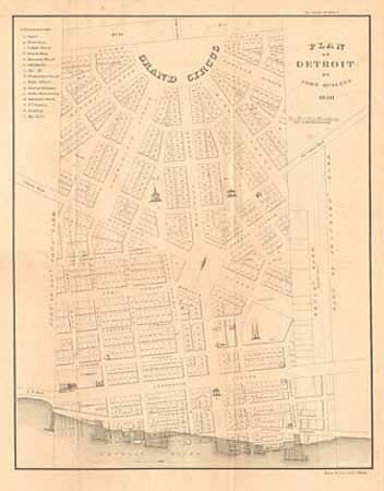
Auction 91, Lot 167
Subject: Michigan
Plan of Detroit by John Mullett 1830, 1860
Size: 14 x 18 inches (35.6 x 45.7 cm)
Estimate: $325 - $375
Sold for: $275
Closed on 6/14/2000
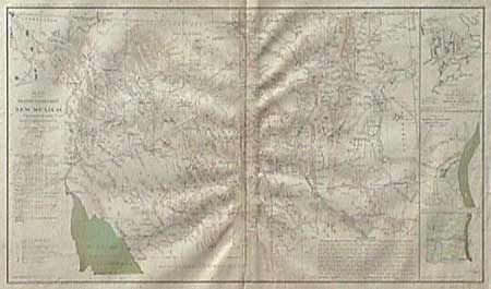
Auction 91, Lot 168
Subject: New Mexico and Arizona
Map of the Military Department of New Mexico, 1895
Size: 24 x 16 inches (61 x 40.6 cm)
Estimate: $60 - $80
Sold for: $70
Closed on 6/14/2000
Auction 91, Lot 169
Subject: New York and Pennsylvania
Lot of 10 maps, 1854
Size: See Description
Estimate: $30 - $40
Sold for: $65
Closed on 6/14/2000

Auction 91, Lot 170
Subject: Oklahoma
Map of the Former Territorial Limits of the Cherokee "Nation of" Indians… [together with] Map of the Territory Originally Assigned to the Cherokee "Nation of" Indians West of the Mississippi…, 1884
Size: See Description
Estimate: $275 - $350
Sold for: $350
Closed on 6/14/2000
60 lots
Page 1 of 2