Catalog Archive
Auction 91, Lot 155
"Map of Illinois"
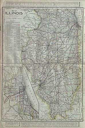
Subject: Illinois
Period: 1906 (published)
Publication: Cram's Railroad Atlas
Color: Printed Color
Size:
17.5 x 23.5 inches
44.5 x 59.7 cm
Download High Resolution Image
(or just click on image to launch the Zoom viewer)
(or just click on image to launch the Zoom viewer)