Showing No Reserve Lots(remove filter)
Filtered by Category:Books, Atlases, Travel Guides, Geography & Reference Books(Show All Categories)
Catalog Archive
680 lots
Page 1 of 14
Auction 206, Lot 722
Subject: References
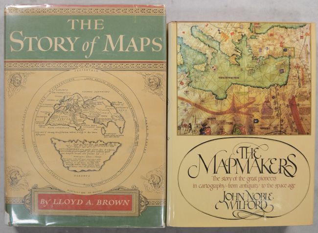
[Lot of 2] The Story of Maps [and] The Mapmakers, 1949-81
Size: See Description
Estimate: $50 - $65
NO RESERVE
Sold for: $37
Closed on 11/12/2025
Auction 206, Lot 723
Subject: References
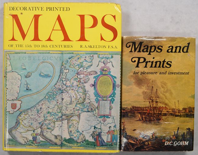
[Lot of 2] Decorative Printed Maps of the 15th to 18th Centuries [and] Maps and Prints for Pleasure and Investment, 1965-69
Size: See Description
Estimate: $40 - $55
NO RESERVE
Sold for: $11
Closed on 11/12/2025
Auction 206, Lot 724
Subject: References
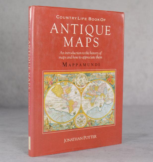
Potter, Jonathan
Country Life Book of Antique Maps - An Introduction to the History of Maps and How to Appreciate Them, 1989
Size: 8.9 x 12 inches (22.6 x 30.5 cm)
Estimate: $20 - $30
NO RESERVE
Sold for: $33
Closed on 11/12/2025
Auction 206, Lot 725
Subject: References
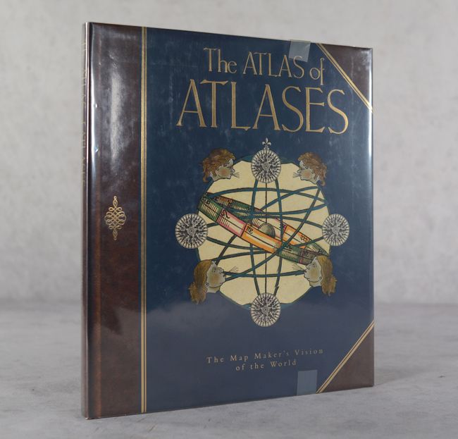
Allen, Phillip
The Atlas of Atlases - The Map Maker's Vision of the World - Atlases from the Cadbury Collection, Birmingham Central Library, 1992
Size: 10.8 x 12.4 inches (27.4 x 31.5 cm)
Estimate: $25 - $35
NO RESERVE
Sold for: $70
Closed on 11/12/2025
Auction 206, Lot 726
Subject: References
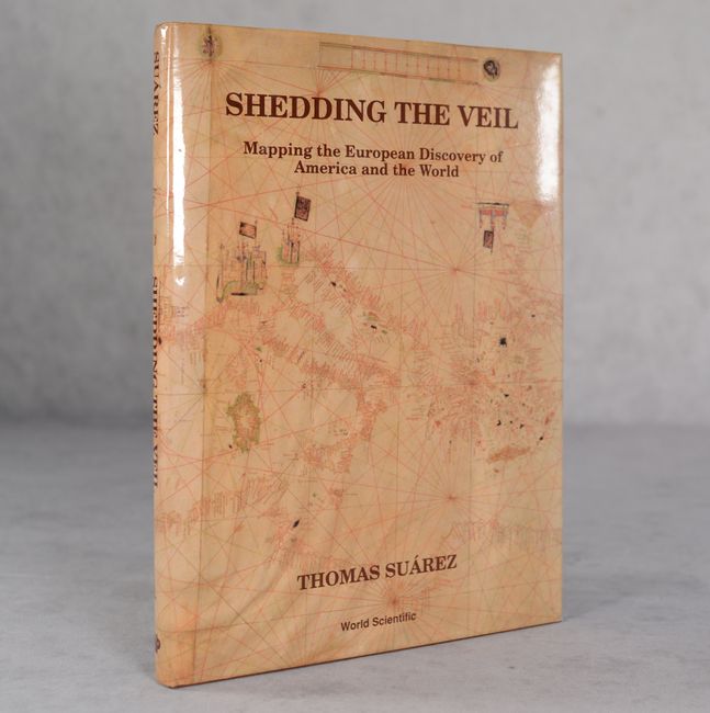
Suarez, Thomas
Shedding the Veil - Mapping the European Discovery of America and the World, 1992
Size: 8.8 x 11.9 inches (22.4 x 30.2 cm)
Estimate: $50 - $70
NO RESERVE
Sold for: $21
Closed on 11/12/2025
Auction 206, Lot 727
Subject: References
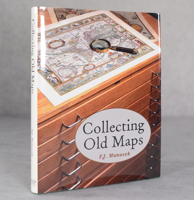
Manasek, F.J.
Collecting Old Maps, 1998
Size: 8.8 x 11.3 inches (22.4 x 28.7 cm)
Estimate: $80 - $100
NO RESERVE
Sold for: $60
Closed on 11/12/2025
Auction 206, Lot 728
Subject: References, Magazines
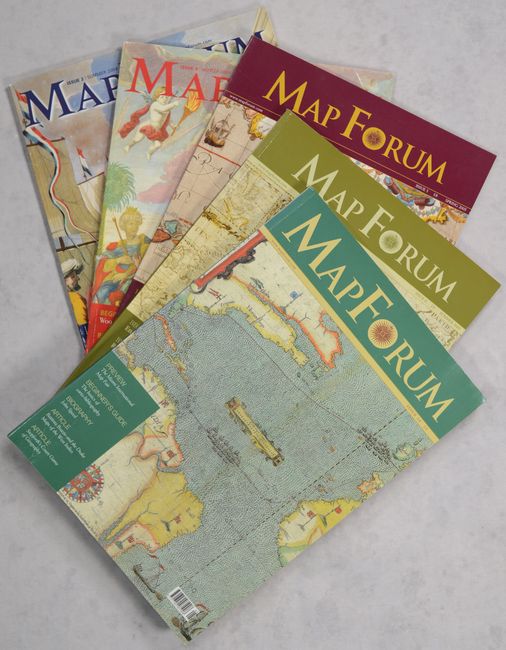
Baynton-Williams, Ashley
[Lot of 5] Map Forum, 2004-05
Size: 8.3 x 11.8 inches (21.1 x 30 cm)
Estimate: $50 - $70
NO RESERVE
Sold for: $28
Closed on 11/12/2025
Auction 206, Lot 730
Subject: References, Braun & Hogenberg
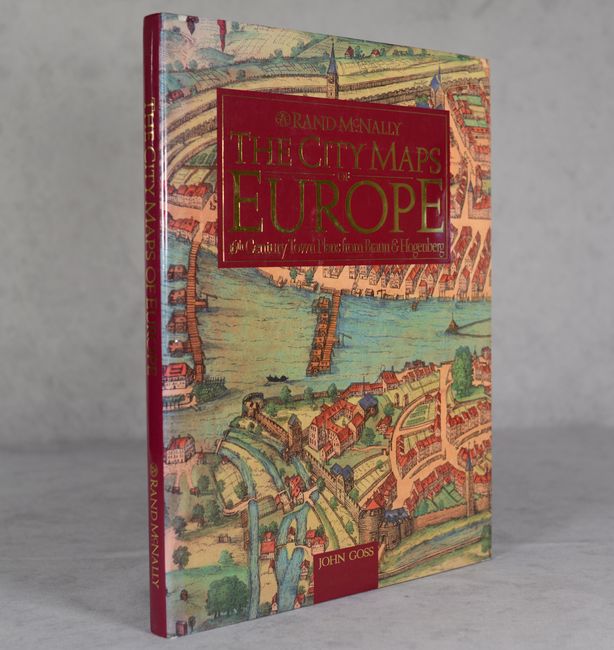
Goss, John
The City Maps of Europe - 16th Century Town Plans from Braun & Hogenberg, 1992
Size: 11.5 x 15.3 inches (29.2 x 38.9 cm)
Estimate: $50 - $70
NO RESERVE
Sold for: $43
Closed on 11/12/2025
Auction 206, Lot 731
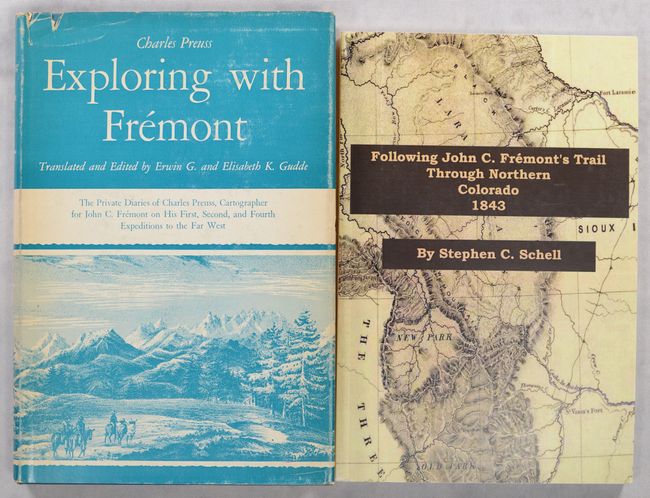
Subject: References, Fremont
[Lot of 2] Exploring with Fremont - The Private Diaries of Charles Preuss... [and] Following John C. Fremont's Trail Through Northern Colorado 1843, 1958-2010
Size: See Description
Estimate: $90 - $120
NO RESERVE
Sold for: $65
Closed on 11/12/2025
Auction 206, Lot 737
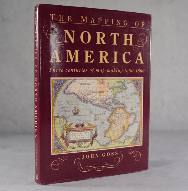
Subject: References, North America
Goss, John
The Mapping of North America - Three Centuries of Map-Making 1500-1860, 1990
Size: 10.4 x 14.4 inches (26.4 x 36.6 cm)
Estimate: $40 - $50
NO RESERVE
Sold for: $37
Closed on 11/12/2025
Auction 206, Lot 742
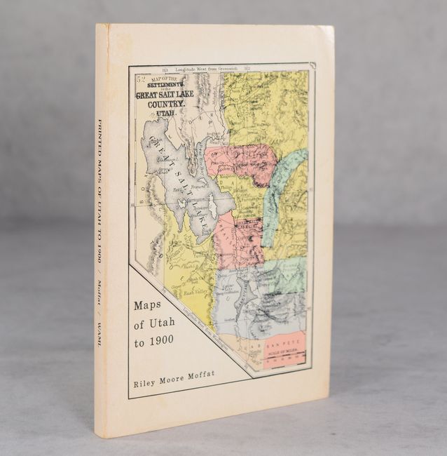
Subject: References, Utah
Printed Maps of Utah to 1900: An Annotated Cartobibliography, 1981
Size: 6 x 9 inches (15.2 x 22.9 cm)
Estimate: $40 - $55
NO RESERVE
Sold for: $11
Closed on 11/12/2025
Auction 206, Lot 743
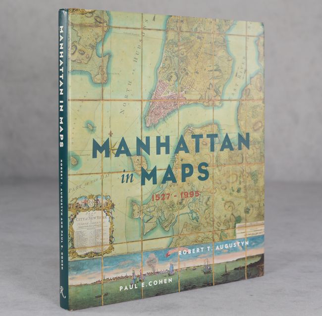
Subject: References, New York City
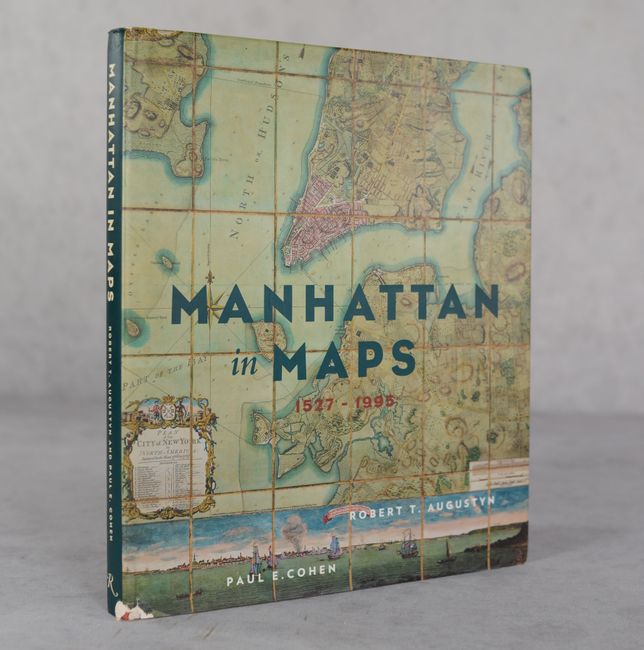
Manhattan in Maps 1527-1995, 1997
Size: 9.4 x 11 inches (23.9 x 27.9 cm)
Estimate: $25 - $35
NO RESERVE
Sold for: $60
Closed on 11/12/2025
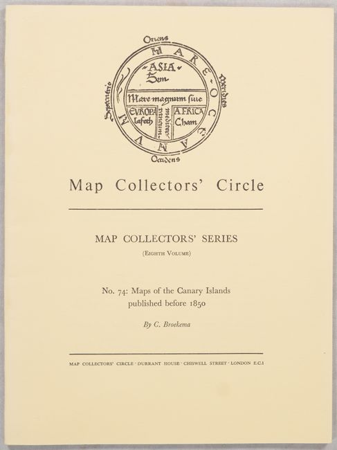
Auction 206, Lot 744
Subject: References, Canary Islands
Map Collectors' Circle - No. 74: Maps of the Canary Islands Published Before 1850, 1971
Size: 7.3 x 9.8 inches (18.5 x 24.9 cm)
Estimate: $15 - $20
NO RESERVE
Sold for: $1
Closed on 11/12/2025
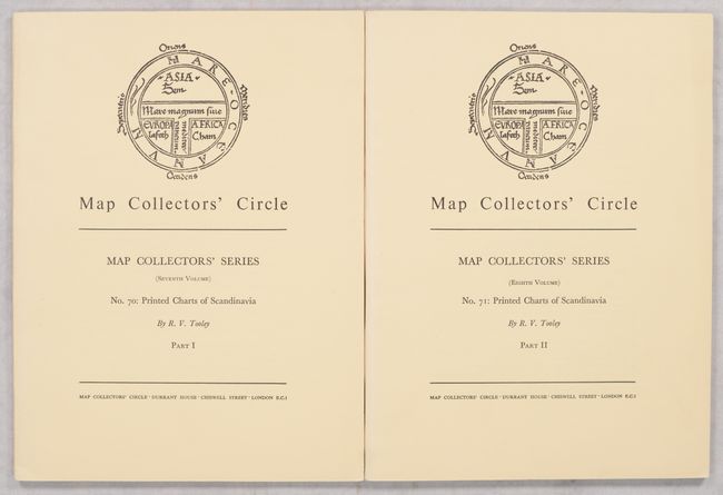
Auction 206, Lot 745
Subject: References, Scandinavia
Tooley, R. V.
[Lot of 2] Map Collectors' Circle - Nos. 70 & 71: Printed Charts of Scandinavia Part I & II, 1971
Size: 7.3 x 9.8 inches (18.5 x 24.9 cm)
Estimate: $25 - $35
NO RESERVE
Sold for: $31
Closed on 11/12/2025
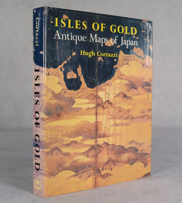
Auction 206, Lot 747
Subject: References, Japan
Cortazzi, Hugh
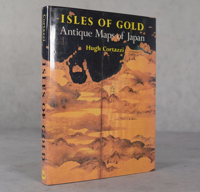
Isles of Gold - Antique Maps of Japan, 1983
Size: 9.3 x 12 inches (23.6 x 30.5 cm)
Estimate: $40 - $60
NO RESERVE
Sold for: $55
Closed on 11/12/2025
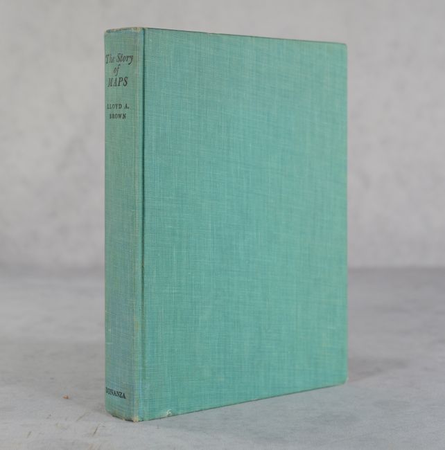
Auction 205, Lot 684
Subject: References
Brown, Lloyd Arnold
The Story of Maps, 1949
Size: 7.5 x 10.3 inches (19.1 x 26.2 cm)
Estimate: $30 - $40
NO RESERVE
Sold for: $23
Closed on 9/10/2025
Auction 205, Lot 685
Subject: References
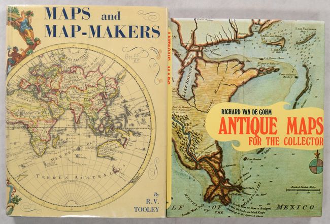
[Lot of 2] Maps and Map-Makers [and] Antique Maps for the Collector, 1961-73
Size: See Description
Estimate: $50 - $70
NO RESERVE
Sold for: $3
Closed on 9/10/2025
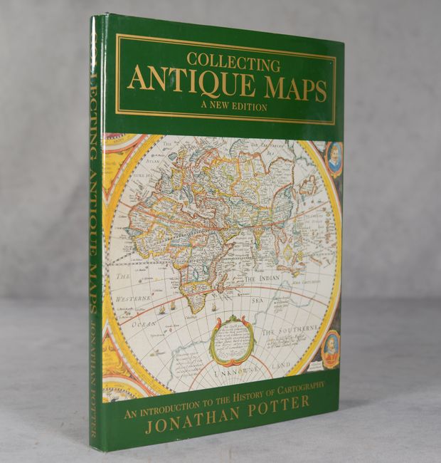
Auction 205, Lot 686
Subject: References
Potter, Jonathan
Collecting Antique Maps - An Introduction to the History of Cartography, 1999
Size: 8.8 x 12.1 inches (22.4 x 30.7 cm)
Estimate: $25 - $40
NO RESERVE
Sold for: $16
Closed on 9/10/2025
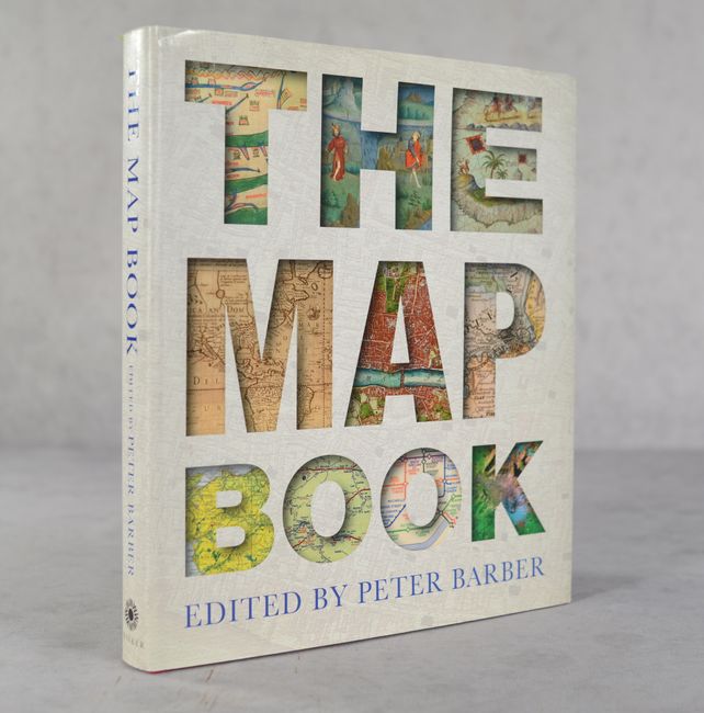
Auction 205, Lot 687
Subject: References
The Map Book, 2005
Size: 10.3 x 11.8 inches (26.2 x 30 cm)
Estimate: $30 - $40
NO RESERVE
Sold for: $21
Closed on 9/10/2025
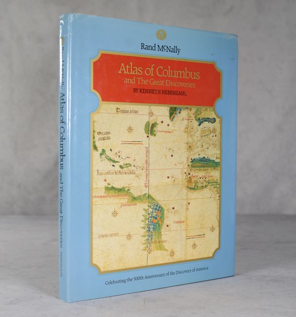
Auction 205, Lot 692
Subject: References, Columbus
Nebenzahl, Kenneth
Atlas of Columbus and the Great Discoveries, 1990
Size: 11.4 x 14.8 inches (29 x 37.6 cm)
Estimate: $30 - $40
NO RESERVE
Sold for: $21
Closed on 9/10/2025
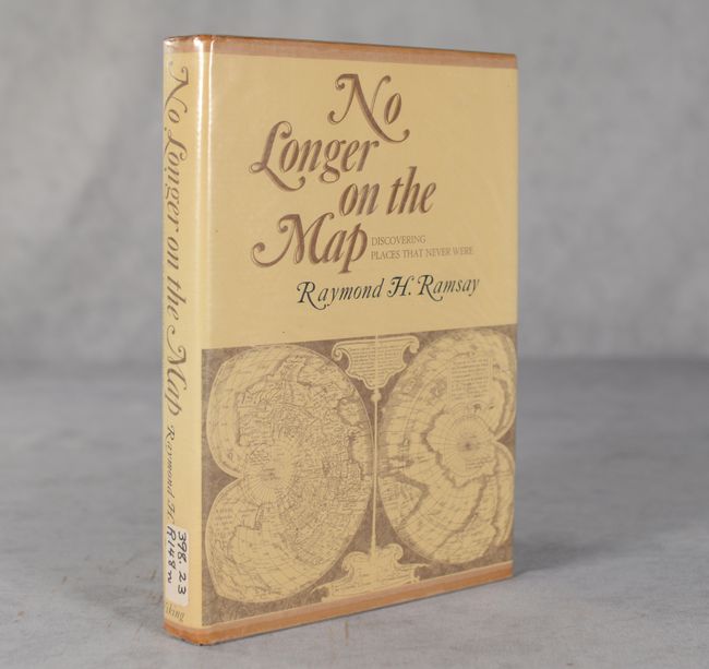
Auction 205, Lot 695
Subject: References, Cartographic Myths
Ramsay, Raymond H.
No Longer on the Map - Discovering Places That Never Were, 1972
Size: 6.8 x 9.6 inches (17.3 x 24.4 cm)
Estimate: $30 - $40
NO RESERVE
Sold for: $55
Closed on 9/10/2025
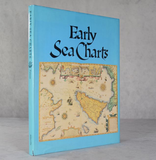
Auction 205, Lot 696
Subject: References, Sea Charts
Putman, Robert
Early Sea Charts, 1983
Size: 12.1 x 15.4 inches (30.7 x 39.1 cm)
Estimate: $50 - $65
NO RESERVE
Sold for: $17
Closed on 9/10/2025
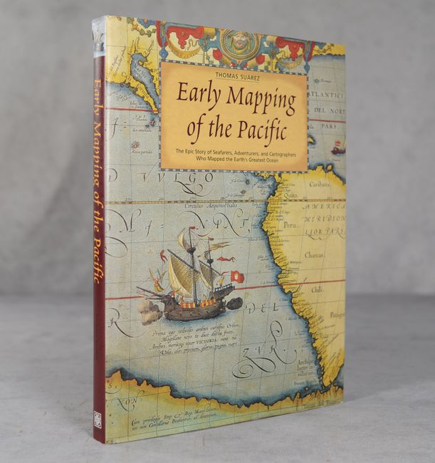
Auction 205, Lot 697
Subject: References, Pacific Ocean
Suarez, Thomas
Early Mapping of the Pacific - The Epic Story of Seafarers, Adventurers, and Cartographers Who Mapped the Earth's Greatest Ocean, 2004
Size: 9.4 x 12.3 inches (23.9 x 31.2 cm)
Estimate: $60 - $80
NO RESERVE
Sold for: $36
Closed on 9/10/2025
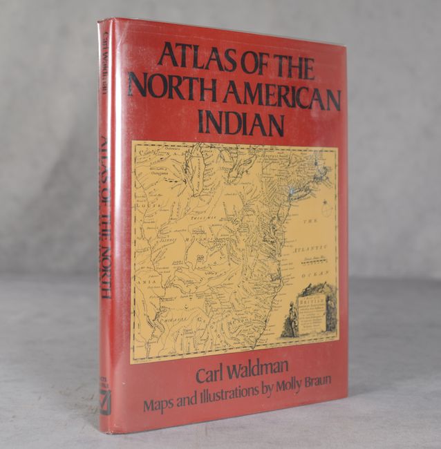
Auction 205, Lot 698
Subject: References, North America
Waldman, Carl
Atlas of the North American Indian, 1985
Size: 8.8 x 11.3 inches (22.4 x 28.7 cm)
Estimate: $20 - $30
NO RESERVE
Sold for: $140
Closed on 9/10/2025
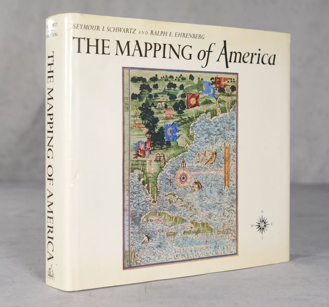
Auction 205, Lot 699
Subject: References, North America
Schwartz & Ehrenberg
The Mapping of America, 2001
Size: 11.5 x 11 inches (29.2 x 27.9 cm)
Estimate: $80 - $100
NO RESERVE
Sold for: $31
Closed on 9/10/2025
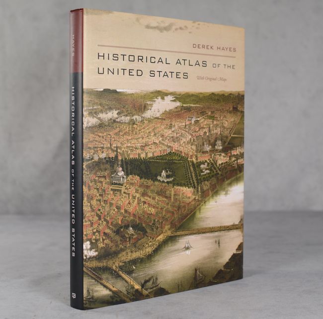
Auction 205, Lot 700
Subject: References, United States
Historical Atlas of the United States with Original Maps, 2007
Size: 10.3 x 13.9 inches (26.2 x 35.3 cm)
Estimate: $30 - $40
NO RESERVE
Sold for: $21
Closed on 9/10/2025
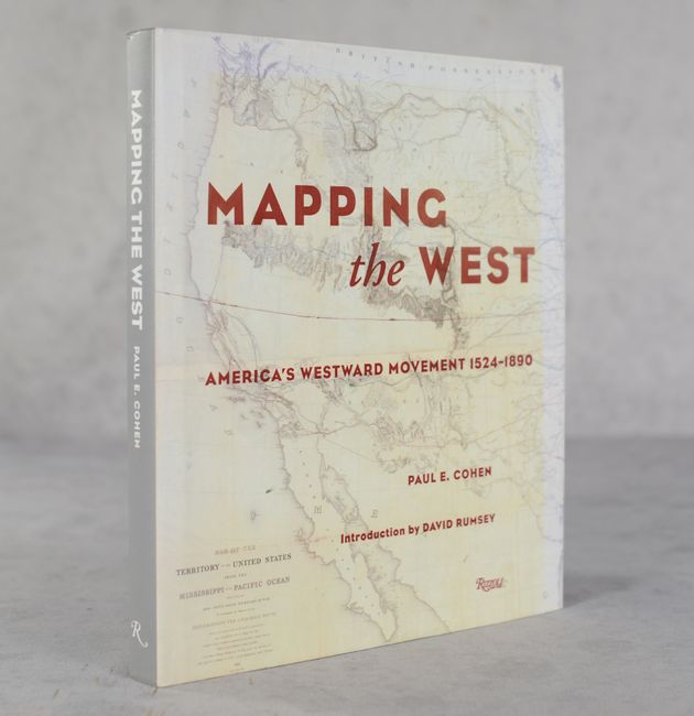
Auction 205, Lot 701
Subject: References, Western United States
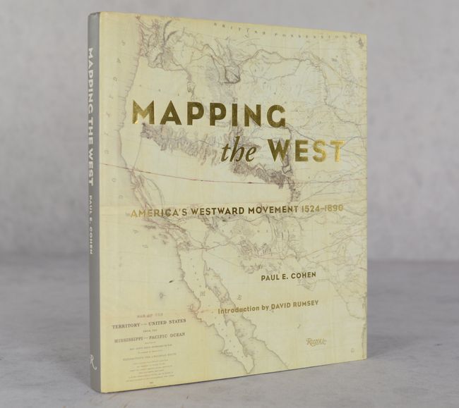
Mapping the West - America's Westward Movement 1524-1890, 2006
Size: 9.4 x 11 inches (23.9 x 27.9 cm)
Estimate: $40 - $50
NO RESERVE
Sold for: $130
Closed on 9/10/2025
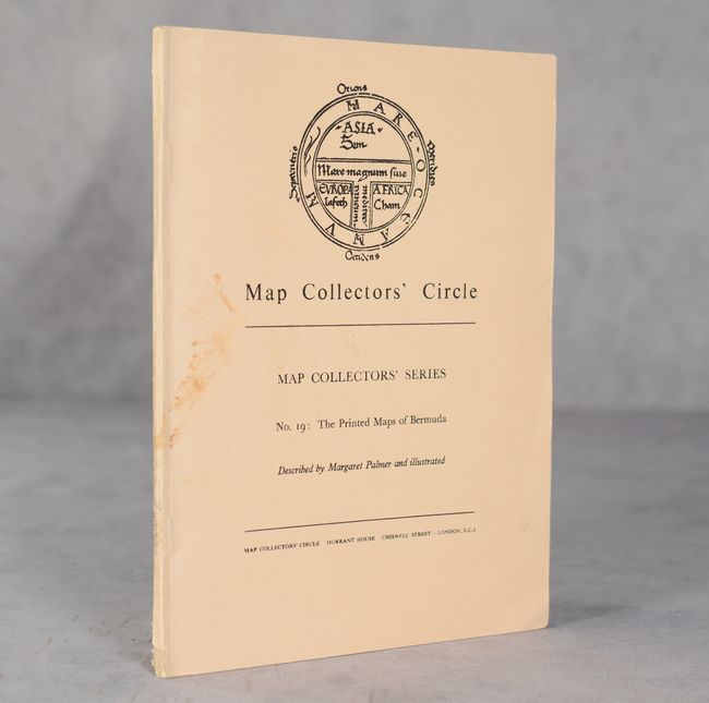
Auction 205, Lot 704
Subject: References, Bermuda
Palmer, Margaret
Map Collectors' Circle - No. 19: The Printed Maps of Bermuda, 1965
Size: 7.3 x 9.8 inches (18.5 x 24.9 cm)
Estimate: $20 - $30
NO RESERVE
Sold for: $13
Closed on 9/10/2025
Auction 205, Lot 705
Subject: References, Poland
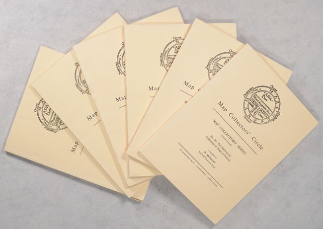
[Lot of 6] Map Collectors' Circle - Nos. 25, 31, 43, 57, 84 & 86: The Malinowski Collection of Maps of Poland Parts 1-III & V-VII, 1966-72
Size: 7.3 x 9.8 inches (18.5 x 24.9 cm)
Estimate: $45 - $60
NO RESERVE
Sold for: $27
Closed on 9/10/2025
Auction 204, Lot 695
Subject: References
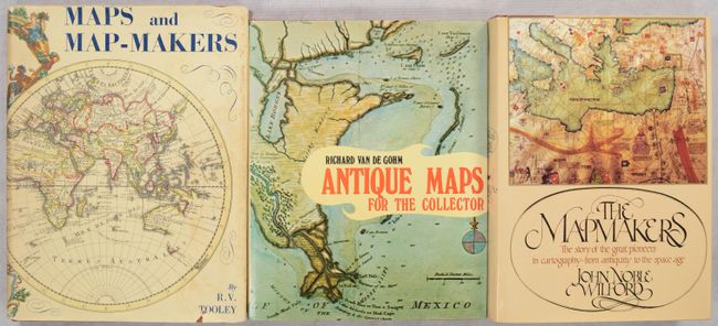
[Lot of 3] Maps and Map-Makers [and] Antique Maps for the Collector [and] The Mapmakers, 1961-81
Size: See Description
Estimate: $65 - $85
NO RESERVE
Sold for: $34
Closed on 6/18/2025
Auction 204, Lot 697
Subject: References
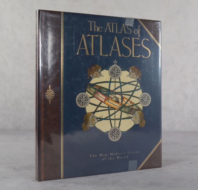
Allen, Phillip
The Atlas of Atlases - The Map Maker's Vision of the World - Atlases from the Cadbury Collection, Birmingham Central Library, 1992
Size: 10.8 x 12.4 inches (27.4 x 31.5 cm)
Estimate: $25 - $35
NO RESERVE
Unsold
Closed on 6/18/2025
Auction 204, Lot 698
Subject: References
Moreland & Bannister
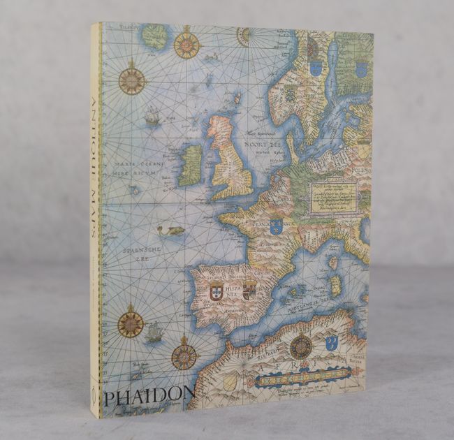
Antique Maps, 1994
Size: 7.5 x 9.8 inches (19.1 x 24.9 cm)
Estimate: $15 - $20
NO RESERVE
Sold for: $16
Closed on 6/18/2025
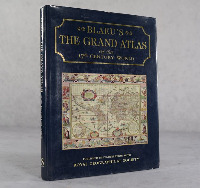
Auction 204, Lot 701
Subject: References, Blaeu
Goss, John
Blaeu's The Grand Atlas of the 17th Century World, 1997
Size: 11.4 x 14.6 inches (29 x 37.1 cm)
Estimate: $90 - $120
NO RESERVE
Sold for: $31
Closed on 6/18/2025
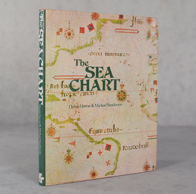
Auction 204, Lot 704
Subject: References, Sea Charts
Howse and Sanderson
The Sea Chart - An Historical Survey Based on the Collections in the National Maritime Museum, 1973
Size: 8.9 x 11.2 inches (22.6 x 28.4 cm)
Estimate: $30 - $40
NO RESERVE
Sold for: $12
Closed on 6/18/2025
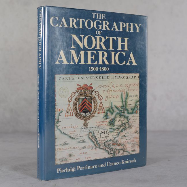
Auction 204, Lot 705
Subject: References, North America
Portinaro & Knirsch
The Cartography of North America 1500-1800, 1987
Size: 9.8 x 13.1 inches (24.9 x 33.3 cm)
Estimate: $45 - $65
NO RESERVE
Sold for: $17
Closed on 6/18/2025
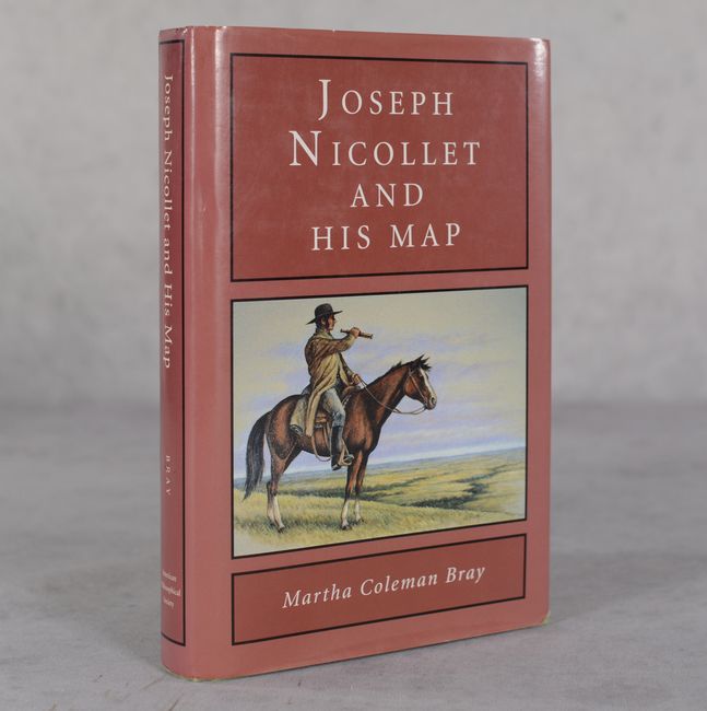
Auction 204, Lot 708
Subject: References, Upper Mississippi River
Joseph Nicollet and His Map, 1994
Size: 6.2 x 9.3 inches (15.7 x 23.6 cm)
Estimate: $40 - $50
NO RESERVE
Sold for: $3
Closed on 6/18/2025
Auction 204, Lot 709
Subject: References, Western United States
Mapping the West - America's Westward Movement 1524-1890, 2002
Size: 9.4 x 10.9 inches (23.9 x 27.7 cm)
Estimate: $40 - $50
NO RESERVE
Sold for: $36
Closed on 6/18/2025
Auction 204, Lot 710
Subject: References, California
California 49 - Forty-Nine Maps of California from the Sixteenth Century to the Present, 1999
Size: 8.7 x 11.3 inches (22.1 x 28.7 cm)
Estimate: $80 - $100
NO RESERVE
Sold for: $42
Closed on 6/18/2025
Auction 204, Lot 711
Subject: References, New York City
Manhattan in Maps 1527-1995, 1997
Size: 9.4 x 10.9 inches (23.9 x 27.7 cm)
Estimate: $30 - $40
NO RESERVE
Sold for: $11
Closed on 6/18/2025
Auction 204, Lot 712
Subject: References, Civil War
McElfresh, Earl B.
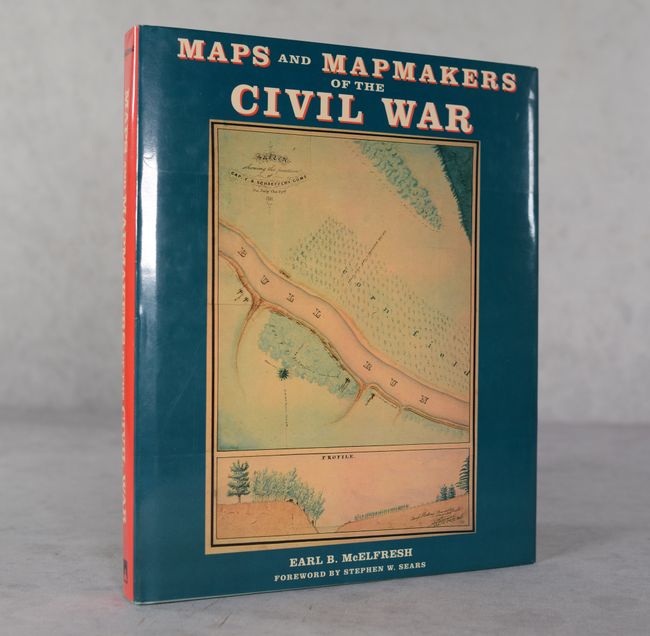
Maps and Mapmakers of the Civil War, 1999
Size: 9.9 x 12 inches (25.1 x 30.5 cm)
Estimate: $30 - $40
NO RESERVE
Sold for: $12
Closed on 6/18/2025
Auction 204, Lot 714
Subject: References, Japan
Cortazzi, Hugh
Isles of Gold - Antique Maps of Japan, 1992
Size: 9.3 x 12 inches (23.6 x 30.5 cm)
Estimate: $40 - $50
NO RESERVE
Sold for: $27
Closed on 6/18/2025
Auction 204, Lot 715
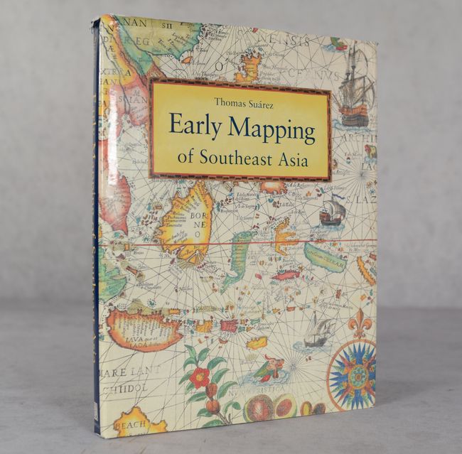
Subject: References, Southeast Asia
Suarez, Thomas
Early Mapping of Southeast Asia, 1999
Size: 9.4 x 12.4 inches (23.9 x 31.5 cm)
Estimate: $70 - $90
NO RESERVE
Sold for: $12
Closed on 6/18/2025
Auction 204, Lot 717
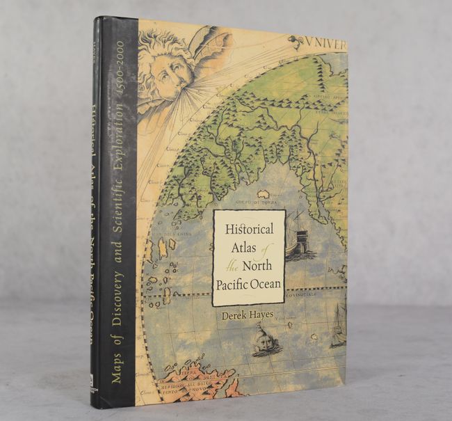
Subject: References, North Pacific Ocean
Historical Atlas of the North Pacific Ocean - Maps of Discovery and Scientific Exploration 1500-2000, 2001
Size: 9.8 x 13.1 inches (24.9 x 33.3 cm)
Estimate: $30 - $40
NO RESERVE
Sold for: $11
Closed on 6/18/2025
Auction 203, Lot 747
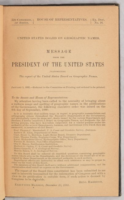
Subject: Historical Document - Geographic Names
U.S. Government
First Report of the United States Board on Geographic Names. 1890-1891., 1892
Size: 5.8 x 9.2 inches (14.7 x 23.4 cm)
Estimate: $50 - $70
NO RESERVE
Sold for: $65
Closed on 4/23/2025
Auction 203, Lot 770
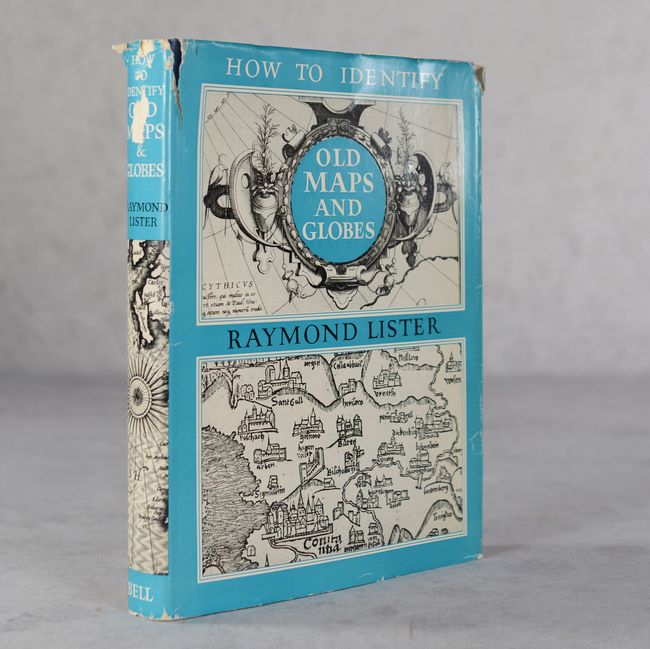
Subject: References
Lister, Raymond
How to Identify Old Maps and Globes with a List of Cartographers, Engravers, Publishers and Printers Concerned with Printed Maps and Globes from c. 1500 to c. 1850, 1965
Size: 7.7 x 10 inches (19.6 x 25.4 cm)
Estimate: $30 - $40
NO RESERVE
Sold for: $85
Closed on 4/23/2025
Auction 203, Lot 771
Subject: References
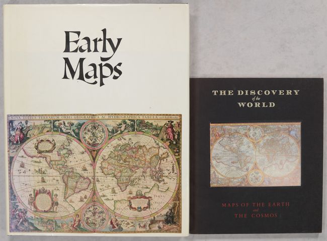
[Lot of 2] Early Maps [and] The Discovery of the World - Maps of the Earth and the Cosmos, 1981-85
Size: See Description
Estimate: $45 - $60
NO RESERVE
Sold for: $160
Closed on 4/23/2025
Auction 203, Lot 773
Subject: References
Suarez, Thomas
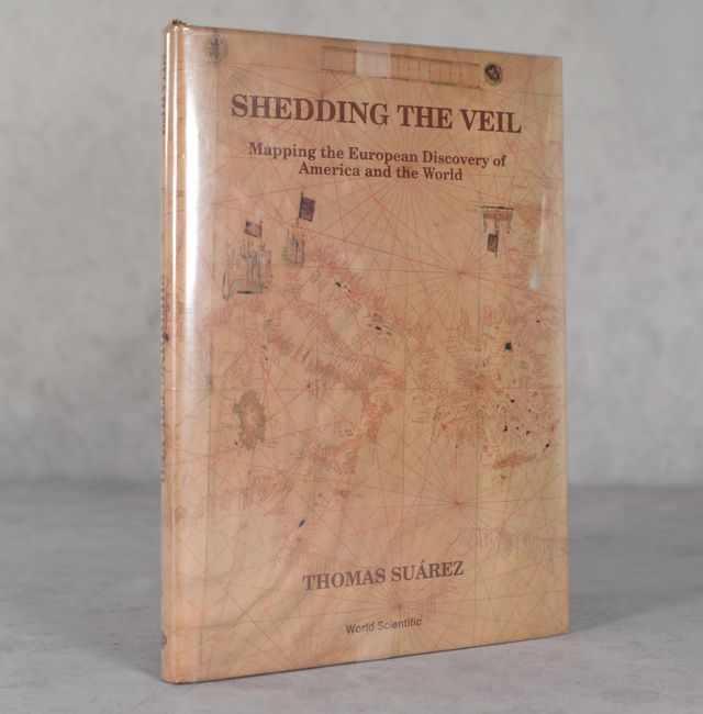
Shedding the Veil - Mapping the European Discovery of America and the World, 1992
Size: 8.8 x 11.9 inches (22.4 x 30.2 cm)
Estimate: $50 - $70
NO RESERVE
Sold for: $31
Closed on 4/23/2025
Auction 203, Lot 774
Subject: References
Manasek, F.J.
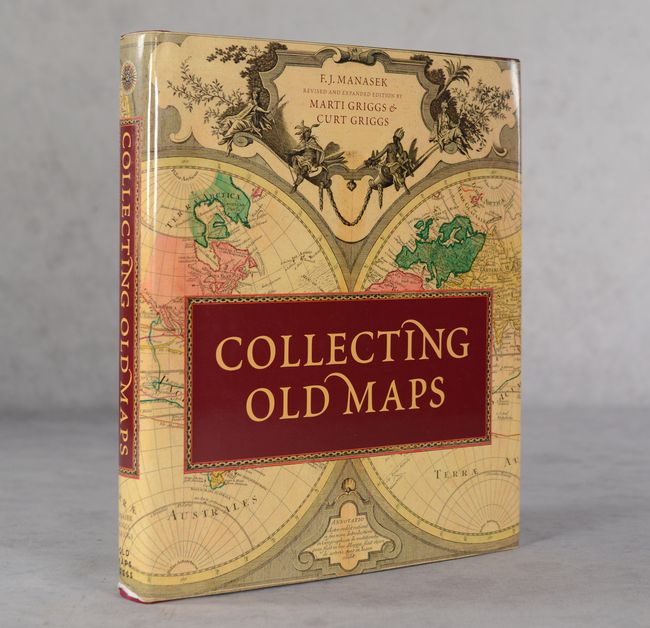
Collecting Old Maps, 2015
Size: 9.7 x 11.3 inches (24.6 x 28.7 cm)
Estimate: $50 - $70
NO RESERVE
Sold for: $110
Closed on 4/23/2025
Auction 203, Lot 775
Subject: References, Mapmakers
Tooley, R. V.
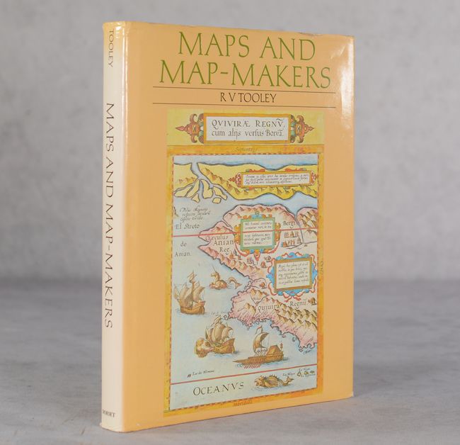
Maps and Map-Makers, 1990
Size: 7.6 x 10.1 inches (19.3 x 25.7 cm)
Estimate: $30 - $50
NO RESERVE
Sold for: $26
Closed on 4/23/2025
Auction 203, Lot 776
Subject: References, Ortelius
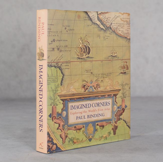
Imagined Corners - Exploring the World's First Atlas, 2003
Size: 7.8 x 10 inches (19.8 x 25.4 cm)
Estimate: $20 - $30
NO RESERVE
Sold for: $100
Closed on 4/23/2025
680 lots
Page 1 of 14


