Subject: References, Western United States
Period: 2006 (published)
Publication:
Color: Printed Color
Size:
9.4 x 11 inches
23.9 x 27.9 cm
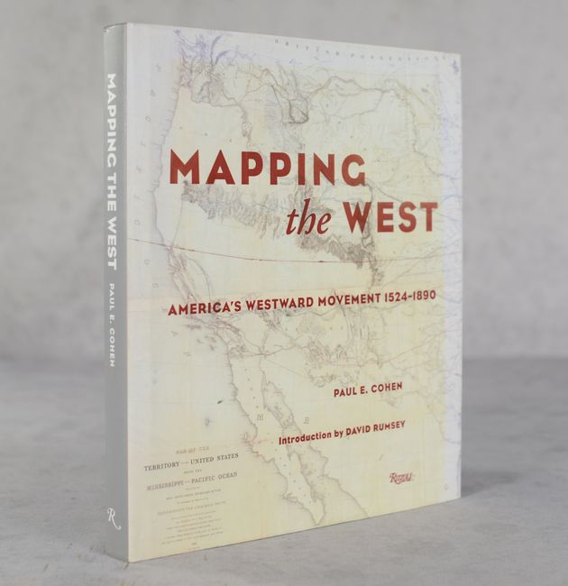
This elegantly laid out reference by Paul E. Cohen contains 65 full-color reproductions of maps of the American West, starting with Cortes' map of the Gulf of Mexico and plan of Mexico City (1524) and ending with a map of the United States by the General Land Office (1890). It includes essays from 19 experts, divided into the following categories: Discovering the West; European Mapping of the West; Staking Claims; The Maps of the Lewis and Clark Expedition; Landmark Maps of the West; Military and Commercial Mapmaking; Routes Westward; The Mexican War and Its Aftermath; Mapping the Territories; Railroads, Rivers, and States; and The End of the Frontier. This is the first time several of these maps have been shown. Noted collector David Rumsey wrote the introduction. 208 pages. Hardbound with blindstamped title on the front cover and gilt title on spine. Illustrated dust jacket.
References:
Condition: A
Contents are clean and bright. Binding is near fine. There are some minor printing imperfections to the dust jacket and light wear.