Subject: References
Period: 2005 (published)
Publication:
Color: Printed Color
Size:
10.3 x 11.8 inches
26.2 x 30 cm
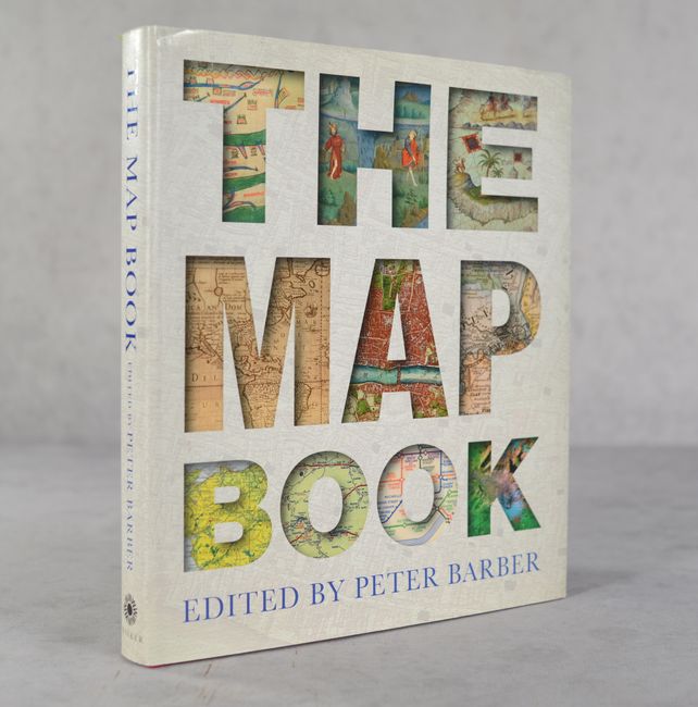
This informative reference by Peter Barber, Head of Map Collections at the British Library, charts the march of civilization through 175 maps spanning four millennia, from prehistoric maps etched in stone to modern digital maps. The illustrations are accompanied by essays written by leading map historians. 360 pages illustrated in full color. Hardbound in red cloth with gilt titles on spine and an illustrated dust jacket.
References:
Condition: A
Contents are clean and bright. Binding and dust jacket have minor shelf wear.