Filtered by Category:Books, Atlases, Travel Guides, Geography & Reference Books(Show All Categories)
Showing results for:Auction 116
Catalog Archive
38 lots
Auction 116, Lot 863
Subject: Atlases
Goodrich, Samuel Griswold
Goodrich's School Atlas, with Outline Maps, 1826
Size: 10.2 x 14.3 inches (25.9 x 36.3 cm)
Estimate: $600 - $800
Sold for: $300
Closed on 9/20/2006
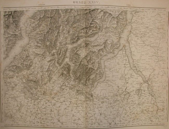
Auction 116, Lot 864
Subject: Atlases, Switzerland
Dufour, Guillaume Henri
Topographische Karte Der Schweiz, 1833-36
Size: 17 x 24.5 inches (43.2 x 62.2 cm)
Estimate: $600 - $800
Sold for: $650
Closed on 9/20/2006
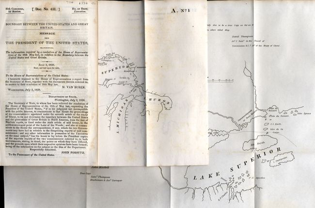
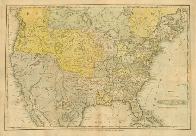
Auction 116, Lot 865
Subject: Atlas, Canada & United States
U.S. Government
Boundary between the United States and Great Britain, 1838
Size: 5.6 x 9 inches (14.2 x 22.9 cm)
Estimate: $180 - $220
Sold for: $190
Closed on 9/20/2006
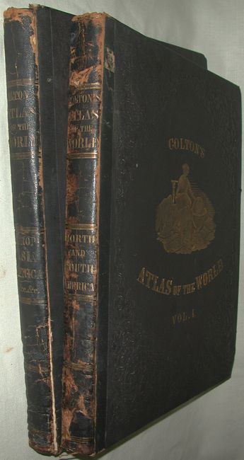
Auction 116, Lot 866
Subject: Atlases
Colton, Joseph Hutchins
Colton's Atlas of the World Illustrating Physical and Political Geography By George W. Colton Volume I [and] II, 1856
Size: 16.8 x 19 inches (42.7 x 48.3 cm)
Estimate: $3,500 - $4,500
Sold for: $2,500
Closed on 9/20/2006
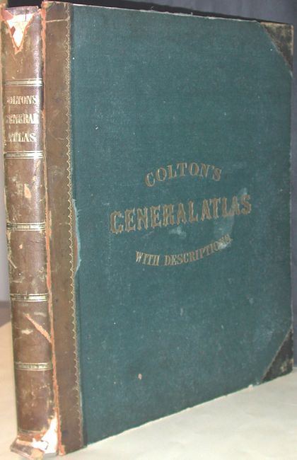
Auction 116, Lot 867
Subject: Atlases
Colton, Joseph Hutchins
Colton's General Atlas Containing One Hundred and Seventy Steel Plate Maps and Plans…, 1857
Size: 14.5 x 17.5 inches (36.8 x 44.5 cm)
Estimate: $2,750 - $3,250
Sold for: $2,000
Closed on 9/20/2006
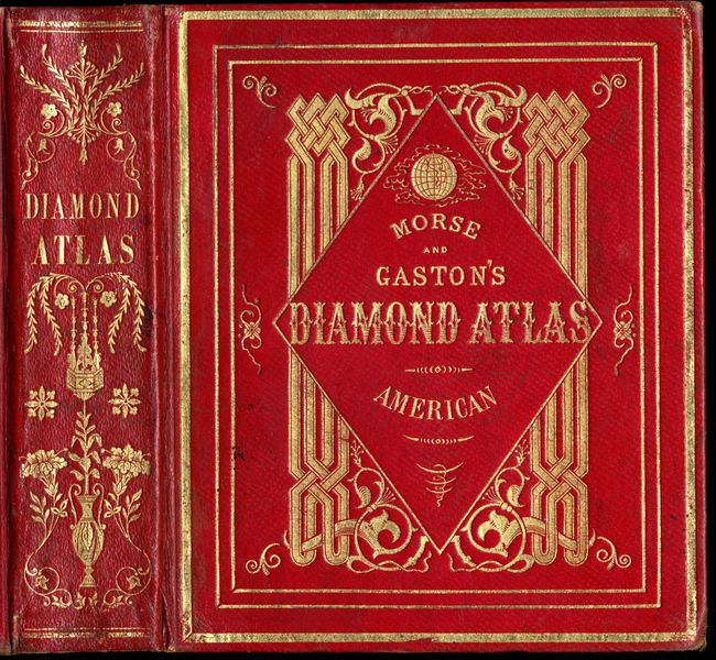
Auction 116, Lot 868
Subject: Atlases
Morse & Gaston
The Diamond Atlas with Descriptions of All Countries … The Western Hemisphere, 1857
Size: 6.2 x 7.5 inches (15.7 x 19.1 cm)
Estimate: $800 - $1,000
Sold for: $600
Closed on 9/20/2006
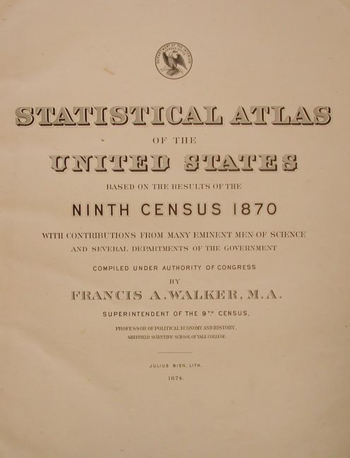
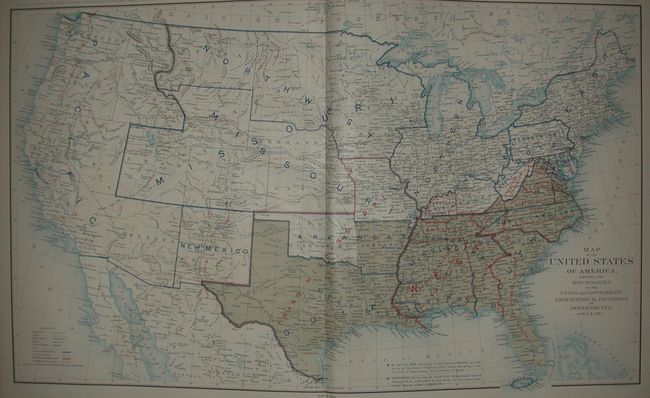
Auction 116, Lot 869
Subject: Atlases, United States
Walker, Francis
Statistical Atlas of the United States Based on the Results of the Ninth Census 1870, 1874
Size: 16.3 x 21.8 inches (41.4 x 55.4 cm)
Estimate: $350 - $450
Sold for: $240
Closed on 9/20/2006
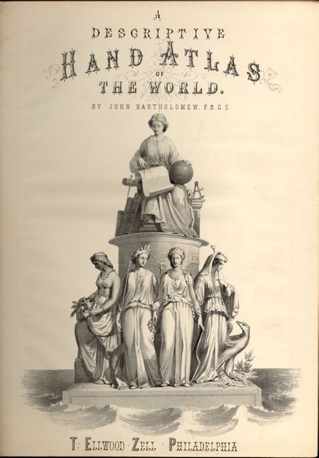
Auction 116, Lot 870
Subject: Atlases
Zell, T. Elwood
Zell's Hand Atlas of the World, 1880
Size: 10.2 x 13.7 inches (25.9 x 34.8 cm)
Estimate: $500 - $700
Unsold
Closed on 9/20/2006
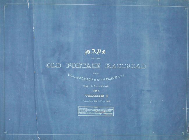
Auction 116, Lot 871
Subject: Railroad Atlas - Pennsylvania
Maps of the Old Portage Railroad from West end of Lillys to foot of Plane No. 8...Volume 4, 1881
Size: 29.8 x 21 inches (75.7 x 53.3 cm)
Estimate: $1,000 - $1,400
Unsold
Closed on 9/20/2006
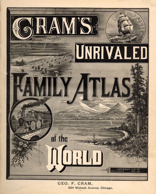
Auction 116, Lot 872
Subject: Atlases
Cram, George F. & Company
Cram's Unrivaled Family Atlas of the World, 1885
Size: 11.5 x 14 inches (29.2 x 35.6 cm)
Estimate: $150 - $250
Sold for: $170
Closed on 9/20/2006
Auction 116, Lot 873
Subject: Atlases, United States, Civil War
U.S. Government
Atlas to Accompany the Offical Records of the Union and Conferderate Armies - Plates 136 - 175, 1894
Size: 15.5 x 18.5 inches (39.4 x 47 cm)
Estimate: $800 - $1,200
Sold for: $600
Closed on 9/20/2006
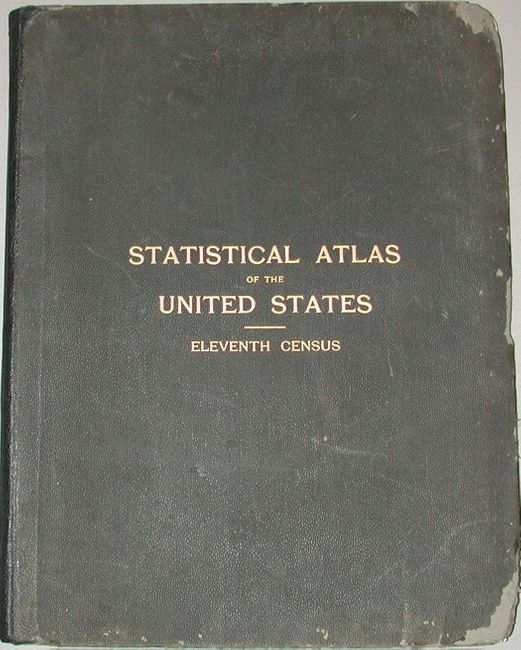
Auction 116, Lot 874
Subject: Atlases, United States
U.S. Department of Interior
Statistical Atlas of the United States, Eleventh Census, 1898
Size: 17 x 21.3 inches (43.2 x 54.1 cm)
Estimate: $150 - $200
Sold for: $110
Closed on 9/20/2006
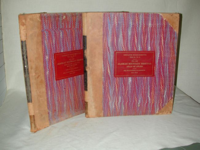
Auction 116, Lot 876
Subject: Atlases, Alaska and Canada
U.S. Government
[Lot of 2] Alaskan Boundary Tribunal British Atlas Part 2 [and] ...Atlas of Award Part 3, 1904
Size: 16.3 x 19 inches (41.4 x 48.3 cm)
Estimate: $400 - $500
Sold for: $300
Closed on 9/20/2006
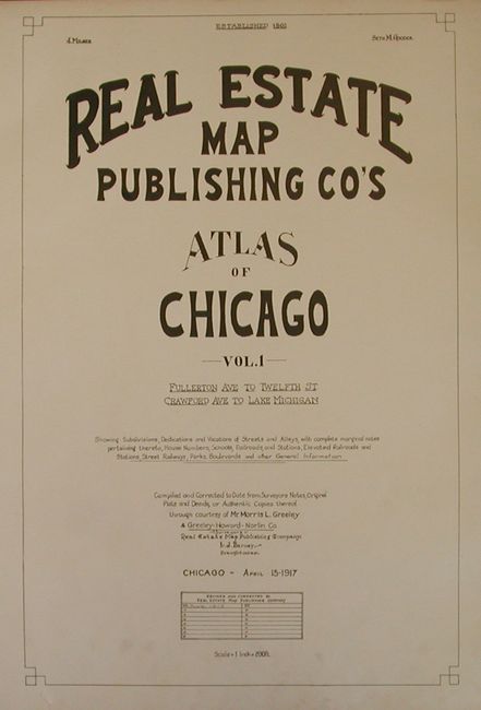
Auction 116, Lot 877
Subject: Atlases, Chicago Illinois
Real Estate Map Publishing Co's Atlas of Chicago Vol 1 Fullerton Ave. to Twelfth St. Crawford Ave. to Lake Michigan, 1917
Size: 23.5 x 29.5 inches (59.7 x 74.9 cm)
Estimate: $800 - $1,200
Sold for: $1,300
Closed on 9/20/2006
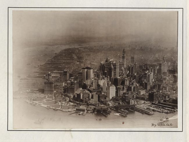
Auction 116, Lot 878
Subject: Atlases, New York
Sanborn Map Company
Pier Map of New York Harbor…, 1922
Size: 14.8 x 19 inches (37.6 x 48.3 cm)
Estimate: $600 - $800
Sold for: $1,200
Closed on 9/20/2006
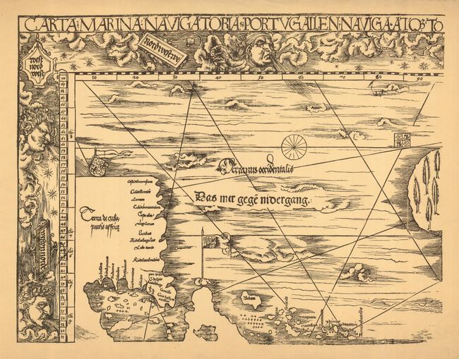
Auction 116, Lot 879
Subject: Facsimile Atlas
Laurentius Frisius Carta marina universalis 1530 [Facsimile], 1926
Size: 23.5 x 18 inches (59.7 x 45.7 cm)
Estimate: $150 - $200
Sold for: $180
Closed on 9/20/2006
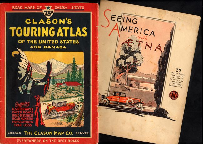
Auction 116, Lot 880
Subject: Atlases, United States
[Lot of 2 Early Automobile Atlases], 1930-31
Size: See Description
Estimate: $150 - $200
Sold for: $140
Closed on 9/20/2006
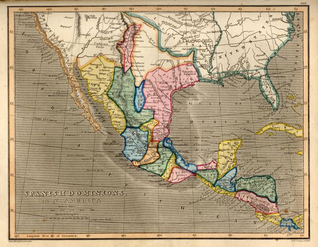
Auction 116, Lot 881
Subject: Geography Books
Fisher & Sons
A New and Comprehensive System of Modern Geography … Vol II, 1833
Size: 8.7 x 11 inches (22.1 x 27.9 cm)
Estimate: $600 - $700
Sold for: $450
Closed on 9/20/2006
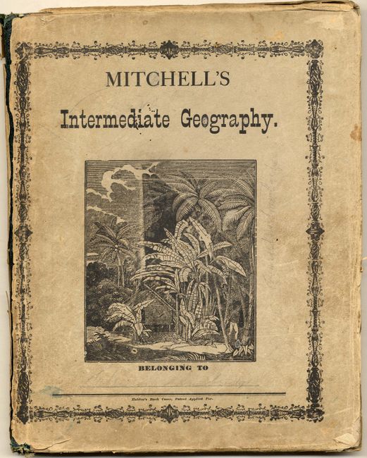
Auction 116, Lot 882
Subject: Geography Books
Mitchell, Samuel Augustus
Mitchell's Intermediate Geography, Designed for the Use of Schools and Academies; Illustrated by Twenty-Three Copper-Plate Maps…, 1875
Size: 10 x 12.5 inches (25.4 x 31.8 cm)
Estimate: $80 - $100
Sold for: $65
Closed on 9/20/2006
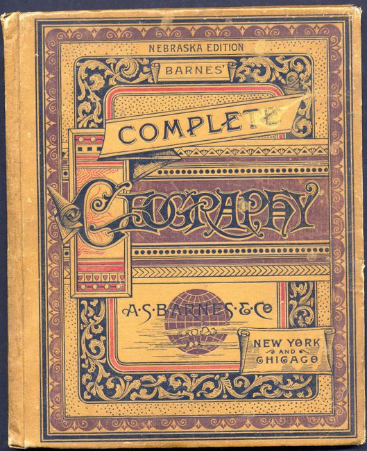
Auction 116, Lot 883
Subject: Geography Books
Monteith, James
Barnes' Complete Geography, 1886
Size: 10.3 x 12.3 inches (26.2 x 31.2 cm)
Estimate: $200 - $300
Unsold
Closed on 9/20/2006
Auction 116, Lot 884
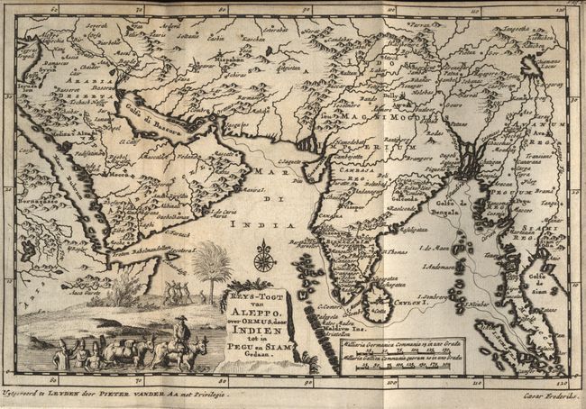
Subject: Exploration and Surveys
Aa, Pieter van der
Naaukeurige Versameling der Gedenk-Waardigste Reysen na Oost- en West-Indien, Mitsgaders andere Gewesten gedaan, zedert het jaar 1528 tot 1538, 1707
Size: 4.5 x 7 inches (11.4 x 17.8 cm)
Estimate: $800 - $1,200
Sold for: $650
Closed on 9/20/2006
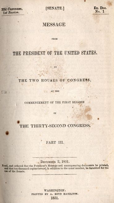
Auction 116, Lot 885
Subject: Exploration and Surveys
U.S. Government
Message from the President of the United States ... The Thirty-Second Congress Part III, 1851
Size: 5.8 x 9.2 inches (14.7 x 23.4 cm)
Estimate: $200 - $300
Sold for: $160
Closed on 9/20/2006
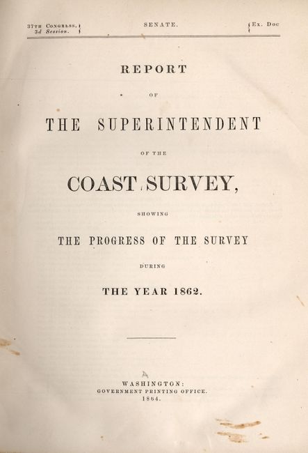
Auction 116, Lot 886
Subject: Exploration and Surveys
U.S. Coast Survey
Report of the Superintendent of the Coast Survey … during the Year 1862, 1864
Size: 9 x 11.5 inches (22.9 x 29.2 cm)
Estimate: $500 - $600
Sold for: $375
Closed on 9/20/2006
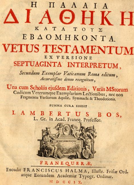
Auction 116, Lot 887
Subject: Bible
Halma, Francois
Vetus Testamentum ex Versione Septuaginta Interpretum, Secundum Exemplar Vaticanum Rome editium…, 1709
Size: 8 x 10 inches (20.3 x 25.4 cm)
Estimate: $800 - $1,200
Sold for: $600
Closed on 9/20/2006
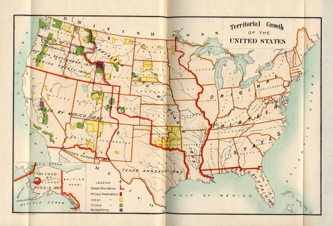
Auction 116, Lot 888
Subject: History, Louisiana Purchase
U.S. Gov't Printing Office
The Louisiana Purchase and Our Title West of the Rocky Mountains, with A Review of Annexation by the United States, 1900
Size: 8 x 11.5 inches (20.3 x 29.2 cm)
Estimate: $75 - $100
Sold for: $85
Closed on 9/20/2006
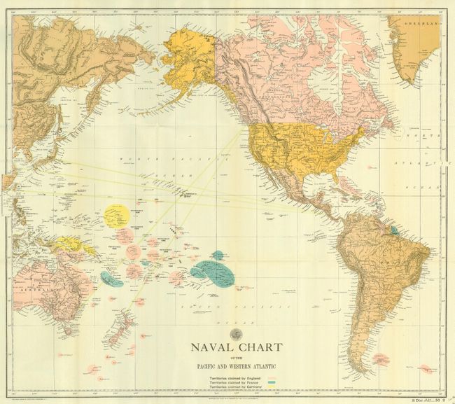
Auction 116, Lot 889
Subject: History, Hawaii
U.S. Government
Diplomatic Relations with Foreign Nations [Hawaii], 1901
Size: 6 x 9.3 inches (15.2 x 23.6 cm)
Estimate: $250 - $350
Sold for: $210
Closed on 9/20/2006
Auction 116, Lot 890
Subject: Cartographic Reference
Stevenson, Edward Luther
Terrestrial and Celestial Globes Their History and Construction Including a Consideration of Their Value as Aids in the Study of Geography and Astronomy [ Volumes I & II together], 1998
Size: 5.5 x 8.5 inches (14 x 21.6 cm)
Estimate: $80 - $100
Sold for: $110
Closed on 9/20/2006
Auction 116, Lot 891
Subject: Cartographic Reference
Harlow, Neal
The Maps of San Francisco Bay from the Spanish Discovery in 1769 to the American Occupation, 1996
Size: 9.3 x 12.3 inches (23.6 x 31.2 cm)
Estimate: $100 - $120
Sold for: $90
Closed on 9/20/2006
Auction 116, Lot 892
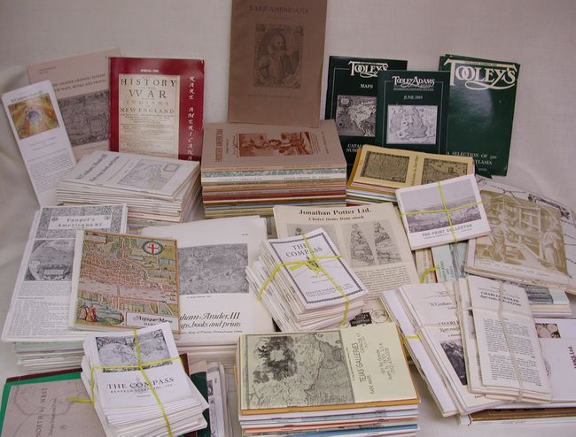
Subject: Cartographic Reference
[Lot of approximately 300 dealer catalogs], 1960-90
Size: See Description
Estimate: $300 - $400
Sold for: $800
Closed on 9/20/2006
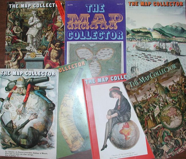
Auction 116, Lot 893
Subject: Cartographic Reference
[Lot of 74] The Map Collector Magazine, 1977-96
Size: 8.3 x 12 inches (21.1 x 30.5 cm)
Estimate: $700 - $800
Sold for: $1,100
Closed on 9/20/2006
Auction 116, Lot 894
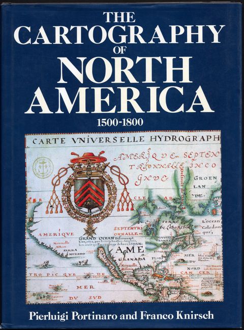
Subject: Cartographic Reference
Portinaro & Knirsch
The Cartography of North America 1500-1800, 1987
Size: 9.5 x 13 inches (24.1 x 33 cm)
Estimate: $60 - $80
Sold for: $75
Closed on 9/20/2006
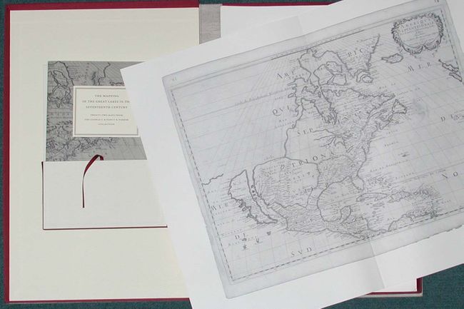
Auction 116, Lot 895
Subject: Cartographic Reference
The Mapping of the Great Lakes in the Seventeenth Century Twenty-Two Maps from the George S. & Nancy B. Parker Collection, 1989
Size: 14.5 x 22.5 inches (36.8 x 57.2 cm)
Estimate: $180 - $220
Sold for: $210
Closed on 9/20/2006
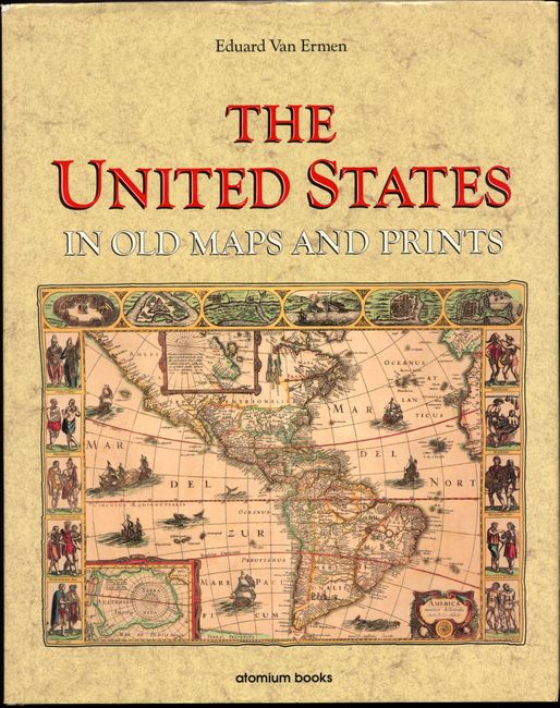
Auction 116, Lot 896
Subject: Cartographic Reference
Ermen, Eduard, van
The United States in Old Maps and Prints, 1990
Size: 12 x 15 inches (30.5 x 38.1 cm)
Estimate: $70 - $90
Sold for: $50
Closed on 9/20/2006
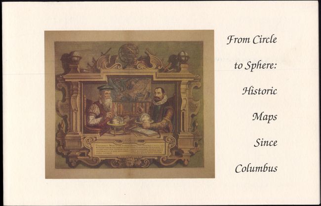
Auction 116, Lot 897
Subject: Cartographic Reference
Delaney, John
From Circle to Sphere: Historic Maps Since Columbus, 1992
Size: 8.5 x 5.5 inches (21.6 x 14 cm)
Estimate: $30 - $40
Sold for: $0
Closed on 9/20/2006
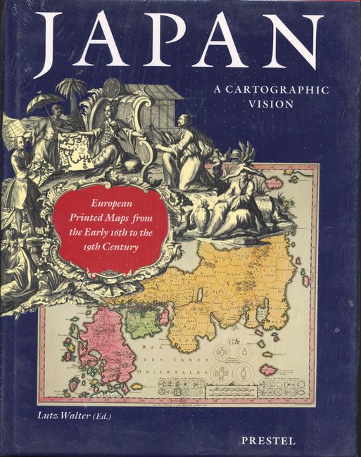
Auction 116, Lot 898
Subject: Reference Books
Walter, Lutz
Japan, a Cartographic Vision European Printed Maps from the Early 16th to the 19th Century, 1994
Size: 9.8 x 12.5 inches (24.9 x 31.8 cm)
Estimate: $90 - $120
Unsold
Closed on 9/20/2006
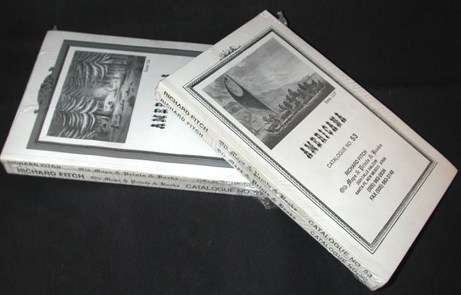
Auction 116, Lot 899
Subject: Cartographic Reference
[Lot of 4] Americana, Richard Fitch, Catalogs 53, 54, 55, 56, 1994-97
Size: 5.5 x 8.5 inches (14 x 21.6 cm)
Estimate: $50 - $70
Sold for: $30
Closed on 9/20/2006
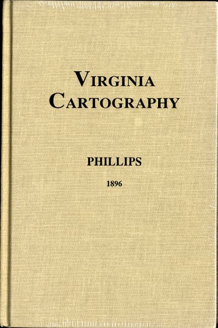
Auction 116, Lot 900
Subject: Cartographic Reference
Phillips, P. Lee
Virginia Cartography - A Bibliographical Description, 1995
Size: 6.2 x 9.2 inches (15.7 x 23.4 cm)
Estimate: $50 - $60
Sold for: $35
Closed on 9/20/2006
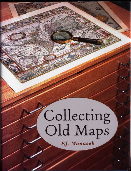
Auction 116, Lot 901
Subject: Cartographic Reference
Manasek, F.J.
Collecting Old Maps, 1998
Size: 8.8 x 11.2 inches (22.4 x 28.4 cm)
Estimate: $60 - $80
Sold for: $80
Closed on 9/20/2006
38 lots