Subject: Atlases
Period: 1857 (dated)
Publication:
Color: Hand Color
Size:
14.5 x 17.5 inches
36.8 x 44.5 cm
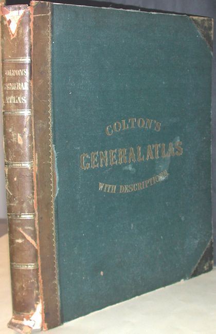
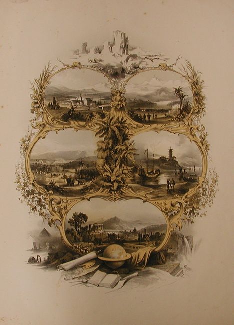
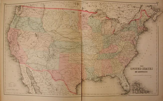
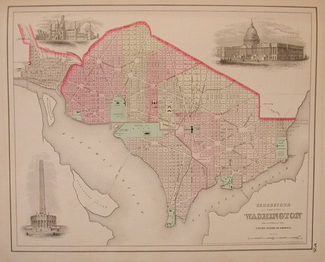
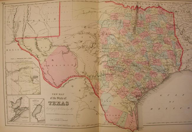
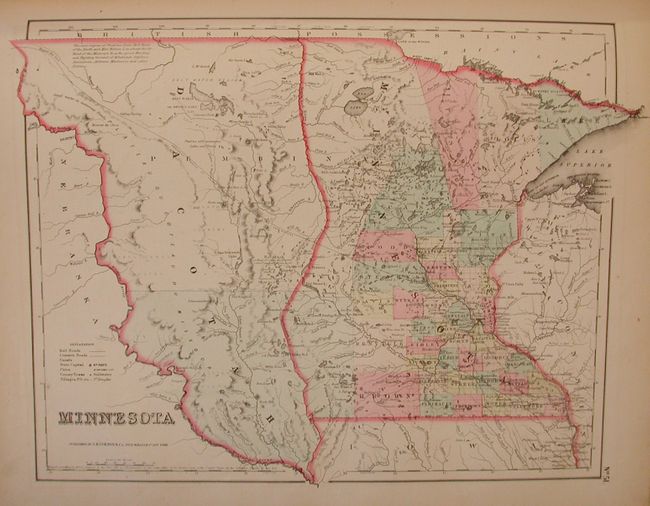
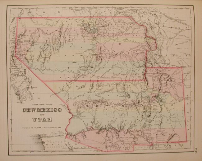
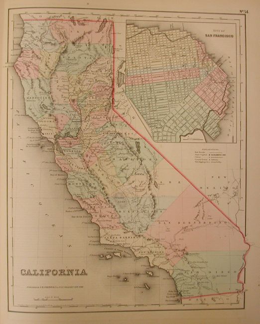
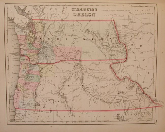
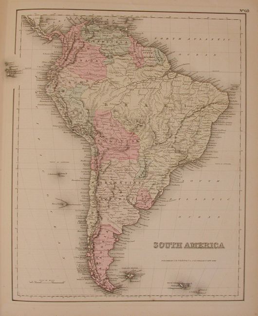
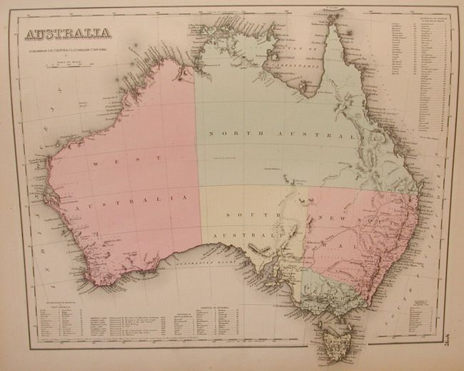
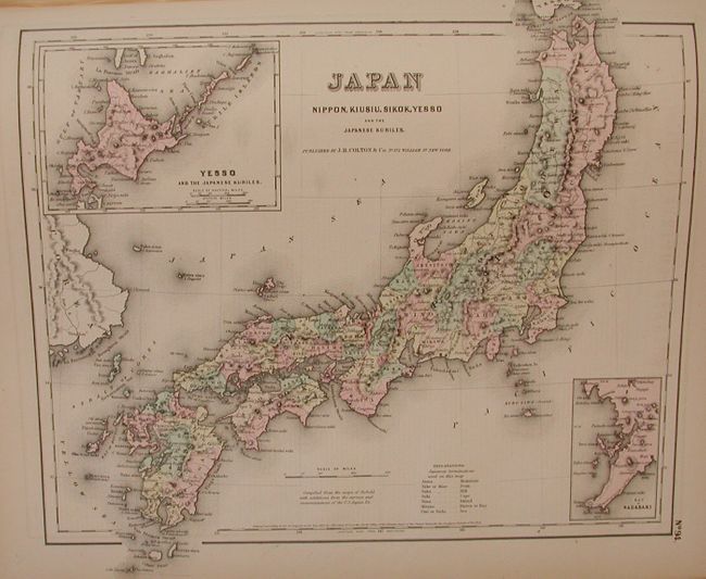
This is a very nice example of Colton's first edition single volume folio world atlas. The complete atlas contains 100 steel engraved maps, including 4 double-page sheets (United States, New York City, Texas, and England). The lovely frontispiece still has its original tissue guard and features five vignette views surrounded in a rococo-style frame. This edition has 44 maps relating to the U.S. including the double-page map of Texas "Compiled from J. De Cordova's large map," Washington and Oregon Territories map with their eastern boundary to the Continental Divide, the desirable Nebraska and Kanzas single-page map, and the early Utah and New Mexico map. The map of California features a large plan of San Francisco at upper right. The beautifully engraved city plans of Paris and London are uncolored, as always issued in this atlas. Hardbound in blue cloth with blind stamped gilt titling, leather spine and corners, blank end papers. The atlas is complete and sound. Previous owner's name is written in pencil on first blank end paper.
References: cf Phillips Atlases 827 (1858 edition).
Condition: A
Maps are generally fine. The U.S. and NYC maps have minor centerfold splits, Boston with paper surface damage in margin & a spot, three South American sheets with bent corners. Signatures tight, covers rubbed, spine chipped with some loss top & bottom.