Subject: Cartographic Reference
Period: 1989 (published)
Publication:
Color: Black & White
Size:
14.5 x 22.5 inches
36.8 x 57.2 cm
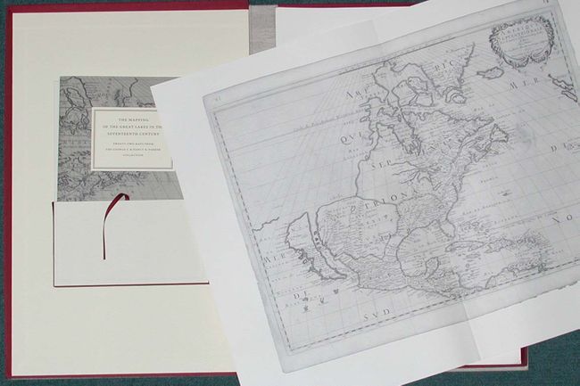
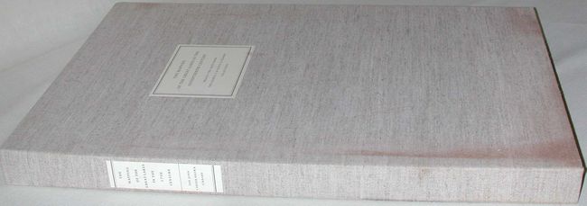
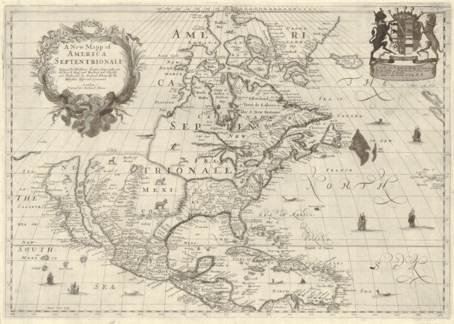
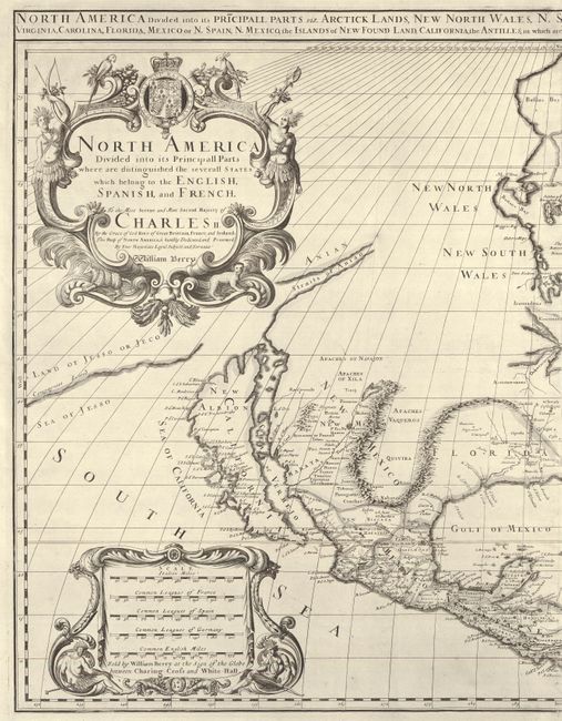
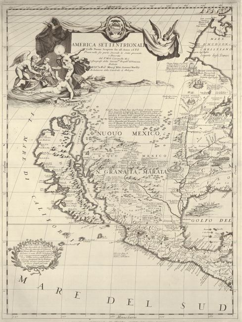
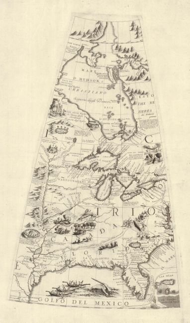
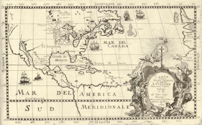
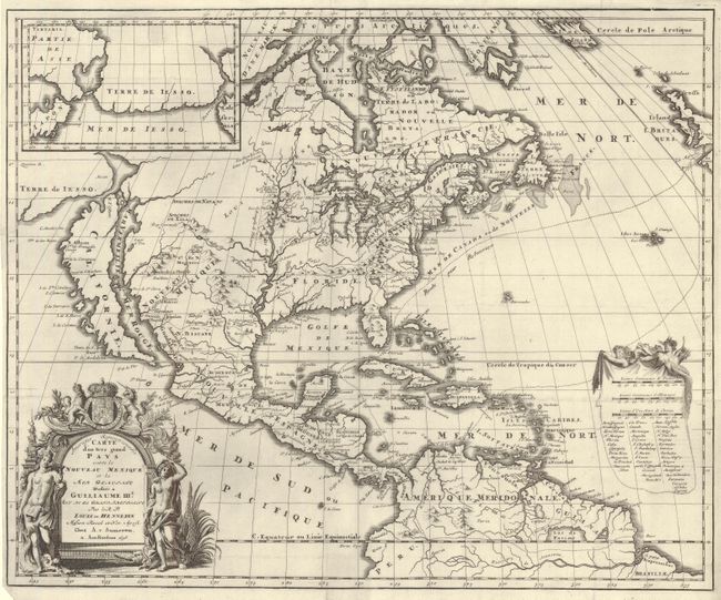
This is a portfolio with 22 large folding maps and a 85 page soft cover Introduction & Commentary by Kevin Kaufman of the University of Wisconsin. Published by the John Carter Brown Library, Providence, Rhode Island. The portfolio has pockets for the booklet and the 22 unbound, folding black & white maps. Each map measures approximately 28 x 21" and contains on the verso detailed information including its history and condition. Foreword by George S. Parker, prefaces by David Woodward & Norman Fiering. Sturdy folio clamshell case of ivory and burgundy, cloth over heavy boards. An important work devoted to the study of the mapping of this area.
References:
Condition: A
Contents are fine. Cloth cover has a little soiling along front near spine and some stray blue scuff marks.