Subject: Atlases
Period: 1857 (dated)
Publication:
Color: Hand Color
Size:
6.2 x 7.5 inches
15.7 x 19.1 cm
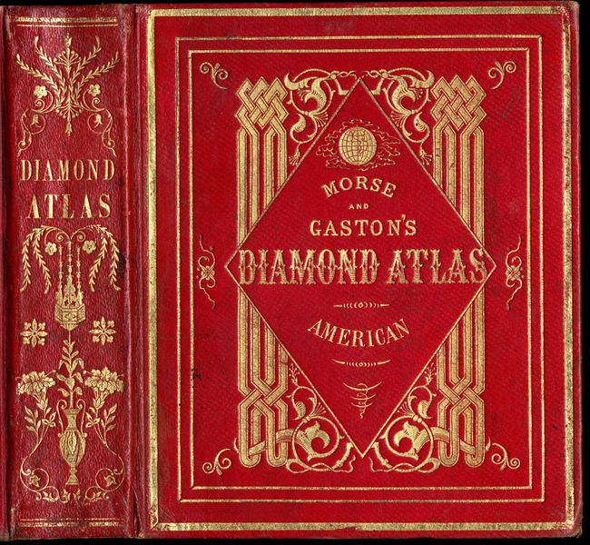
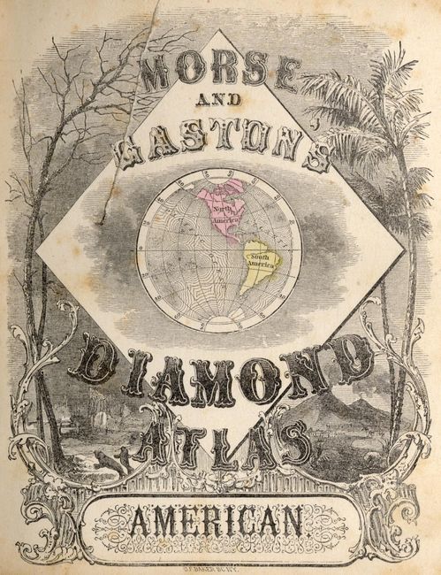
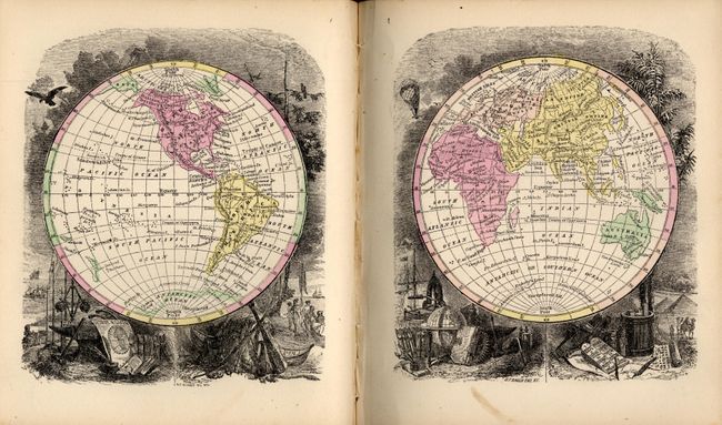
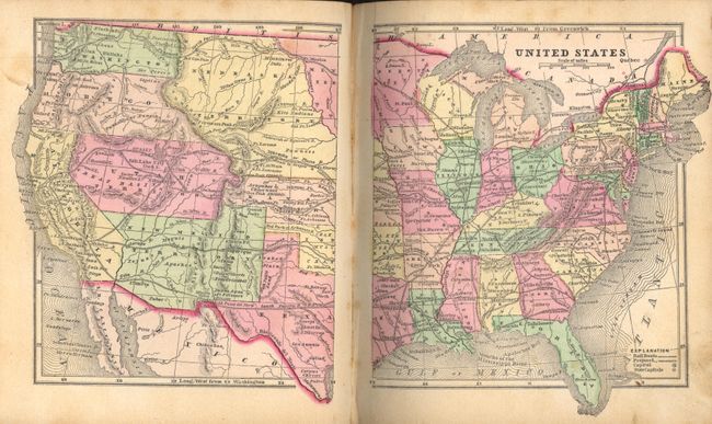
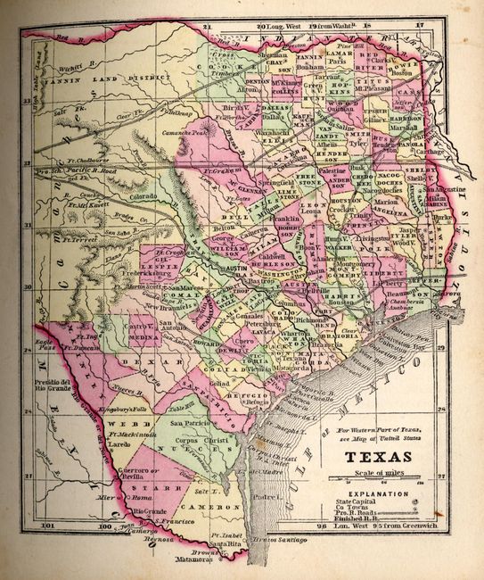
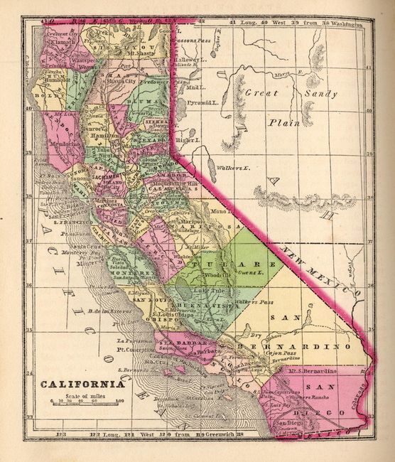
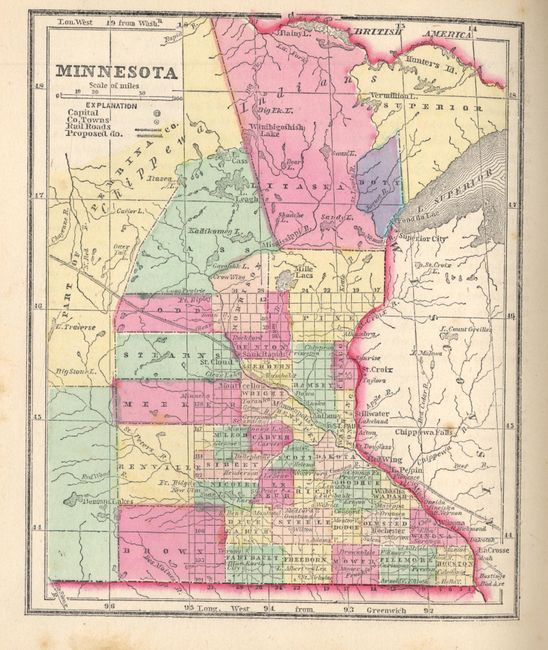
This is the very desirable edition that contains pre-Civil War American state maps. Hardbound in lovely full red morocco with blind stamped and ornate gilt titling on both covers and spine, and full gilt on page edges (t.e.g.). Cover reads "Morse and Gaston's Diamond Atlas - American," as does the first title page. Contains forty maps of U.S. states and territories, eight of British North America, and about 25 covering Mexico, Central and South America. Plus, the Western Hemisphere, North America, the Islands of the Western Hemisphere, the world in hemispheres, and 11 thematic world maps showing data like animal distribution, religions and climate. The map of Washington and Oregon extends to the Continental Divide. The map of Utah and New Mexico is nearly identical to Colton's first edition of 1856/7. The map of Pennsylvania is not present though there is no indication that it was ever bound in; an apparent binding error as it is listed in the contents. Each map is finely engraved and has strong original hand coloring. Two title pages, Publishers' Preface, Contents, text and 56 full-page maps, 239pp.
References:
Condition: A
Covers are very nice with just a little rubbing at corners, else fine and bright. Maps and text are generally clean and bright with the occasional spot. More foxing is evident in last few pages.