Filtered by Category:Books, Atlases, Travel Guides, Geography & Reference Books(Show All Categories)
Showing results for:Auction 93
Catalog Archive
42 lots
Auction 93, Lot 473
Subject: Atlas
Langlois, H.
Atlas Universel, pour la Geographie de Guthrie, 1808
Size: 7.5 x 9.4 inches (19.1 x 23.9 cm)
Estimate: $1,000 - $1,200
Sold for: $750
Closed on 12/6/2000
Auction 93, Lot 474
Subject: Atlas
Rees, Abraham
The Cyclopaedia; or Universal Dictionary of Arts, Science, and Literature … Plates. Vol. VI. Ancient and Modern Atlas, 1820
Size: 8.8 x 11 inches (22.4 x 27.9 cm)
Estimate: $800 - $1,200
Sold for: $850
Closed on 12/6/2000
Auction 93, Lot 475
Subject: Atlas
Vuillemin
Atlas Universel de Geographie Ancienne et Moderne, 1846
Size: 13.5 x 10.4 inches (34.3 x 26.4 cm)
Estimate: $300 - $350
Sold for: $180
Closed on 12/6/2000
Auction 93, Lot 476
Subject: Atlas
Tallis, John
The Illustrated Atlas, and Modern History of the World. Geographical, Political, Commercial & Statistical, 1851
Size: 10.7 x 14.5 inches (27.2 x 36.8 cm)
Estimate: $5,500 - $6,000
Sold for: $4,750
Closed on 12/6/2000
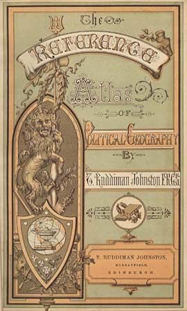
Auction 93, Lot 477
Subject: Atlas
Johnston, T. Ruddiman
The Reference Atlas of Political Geography, 1889
Size: 8 x 12 inches (20.3 x 30.5 cm)
Estimate: $120 - $150
Sold for: $150
Closed on 12/6/2000
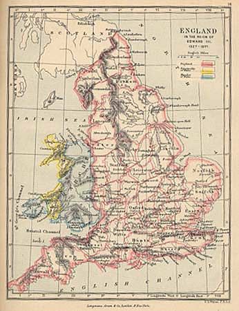
Auction 93, Lot 478
Subject: Atlas
Gardiner, Samuel Rawson
A School Atlas of English History, 1895
Size: 6.9 x 8.5 inches (17.5 x 21.6 cm)
Estimate: $70 - $90
Sold for: $65
Closed on 12/6/2000
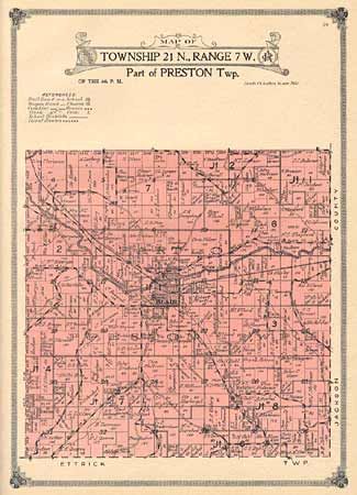
Auction 93, Lot 479
Subject: Atlas
Atlas and Farm Directory with complete survey in Townships plats of Trempealeau County Wisconsin, 1914
Size: 12.2 x 16.1 inches (31 x 40.9 cm)
Estimate: $80 - $100
Sold for: $75
Closed on 12/6/2000
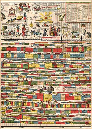
Auction 93, Lot 480
Subject: World History
Hull, Edward
Deacon's Synchronological Chart, Pictorial and Descriptive, of Universal History with Maps of the World's Great Empires and a Complete Geological Diagram of the Earth, 1880
Size: See Description
Estimate: $250 - $400
Sold for: $220
Closed on 12/6/2000
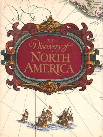
Auction 93, Lot 481
Subject: Cartographic Reference
Cummings, Skelton & Quinn
The Discovery of North America, 1972
Size: 9 x 12 inches (22.9 x 30.5 cm)
Estimate: $60 - $80
Sold for: $120
Closed on 12/6/2000
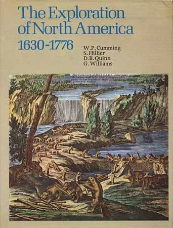
Auction 93, Lot 482
Subject: Exploration, North America
Cumming, Hilleir, Quinn & Williams
The Exploration of North America 1630-1776, 1974
Size: 9 x 12 inches (22.9 x 30.5 cm)
Estimate: $30 - $40
Sold for: $65
Closed on 12/6/2000
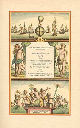
Auction 93, Lot 485
Subject: Cartographic Reference
The Lowery Collection - A Descriptive List of Maps of the Spanish Possessions within the Present Limits of the United States, 1502-1820, 1912
Size: See Description
Estimate: $250 - $350
Sold for: $210
Closed on 12/6/2000
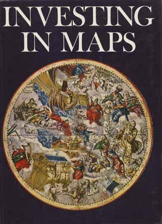
Auction 93, Lot 486
Subject: Cartographic Reference
Baynton-Williams, Roger
Investing in Maps, 1969
Size: 8.8 x 12 inches (22.4 x 30.5 cm)
Estimate: $45 - $50
Sold for: $110
Closed on 12/6/2000
Auction 93, Lot 487
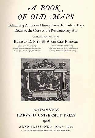
Subject: Cartographic Reference
Fite & Freeman
A Book of Old Maps Delineating American History From the Earliest Days Down to the Close of the Revolutionary War, 1969
Size: 11.2 x 16.2 inches (28.4 x 41.1 cm)
Estimate: $70 - $90
Sold for: $100
Closed on 12/6/2000
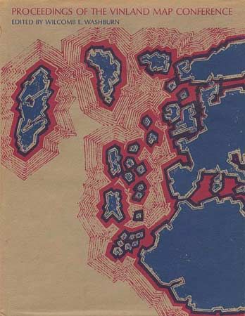
Auction 93, Lot 488
Subject: Cartographic Reference
Proceedings of the Vinland Map Conference, 1971
Size: 8.8 x 11.2 inches (22.4 x 28.4 cm)
Estimate: $50 - $60
Sold for: $30
Closed on 12/6/2000
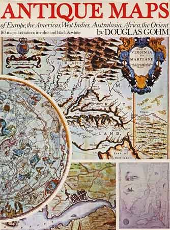
Auction 93, Lot 489
Subject: Cartographic Reference
Gohm, Douglas
Antique Maps of Europe, the Americas, West Indies, Australasia, Africa, the Orient, 1972
Size: 9.5 x 12.5 inches (24.1 x 31.8 cm)
Estimate: $65 - $80
Sold for: $110
Closed on 12/6/2000
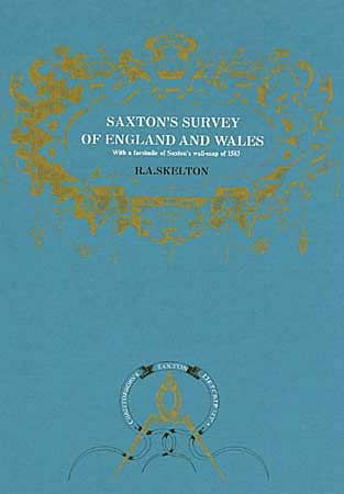
Auction 93, Lot 490
Subject: Cartographic Reference
Skelton, R. A.
Saxton's Survey of England and Wales, 1974
Size: 13.2 x 19.4 inches (33.5 x 49.3 cm)
Estimate: $50 - $70
Sold for: $80
Closed on 12/6/2000
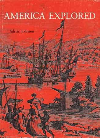
Auction 93, Lot 491
Subject: Cartographic Reference
Johnson, Adrian
America Explored - A Cartographic History of the Exploration of North America, 1974
Size: 10 x 13.5 inches (25.4 x 34.3 cm)
Estimate: $50 - $70
Sold for: $110
Closed on 12/6/2000
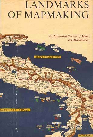
Auction 93, Lot 492
Subject: Cartographic Reference
Bricker, Charles
Landmarks of Mapmaking; An Illustrated Survey of Maps and Mapmakers, 1976
Size: 11 x 16 inches (27.9 x 40.6 cm)
Estimate: $60 - $80
Sold for: $130
Closed on 12/6/2000
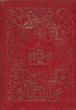
Auction 93, Lot 493
Subject: Cartographic Reference
Atlas of Ancient & Historical Maps of Iran - Atlas Alter Karten von Persien, 1976
Size: 10.1 x 14.2 inches (25.7 x 36.1 cm)
Estimate: $100 - $150
Sold for: $130
Closed on 12/6/2000
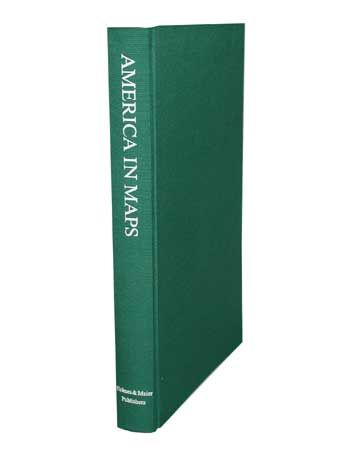
Auction 93, Lot 494
Subject: Cartographic Reference
America in Maps; Dating from 1500 to 1856, 1976
Size: 14.1 x 20.2 inches (35.8 x 51.3 cm)
Estimate: $250 - $300
Sold for: $800
Closed on 12/6/2000
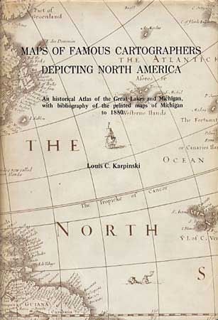
Auction 93, Lot 495
Subject: Cartographic Reference
Karpinski, Louis C.
Maps of Famous Cartographers Depicting North America, 1977
Size: 6.2 x 9 inches (15.7 x 22.9 cm)
Estimate: $60 - $80
Sold for: $150
Closed on 12/6/2000
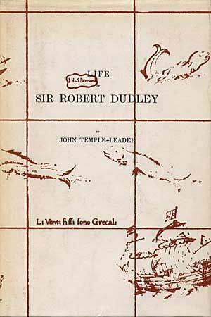
Auction 93, Lot 496
Subject: Cartographic Reference
Leader, J. T.
Life of Sir Robert Dudley, 1977
Size: 6.3 x 9 inches (16 x 22.9 cm)
Estimate: $30 - $40
Sold for: $35
Closed on 12/6/2000
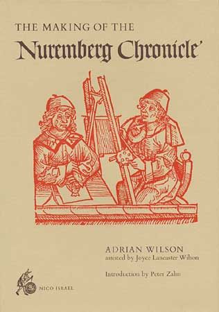
Auction 93, Lot 497
Subject: Cartographic Reference
Wilson, Adrian
The Making of the Nuremberg Chronicle, 1978
Size: 9.7 x 14 inches (24.6 x 35.6 cm)
Estimate: $130 - $150
Sold for: $160
Closed on 12/6/2000
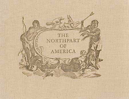
Auction 93, Lot 498
Subject: Cartographic Reference
Verner & Stuart-Stubbs
The Northpart of America, 1979
Size: 13.5 x 16 inches (34.3 x 40.6 cm)
Estimate: $220 - $325
Sold for: $170
Closed on 12/6/2000
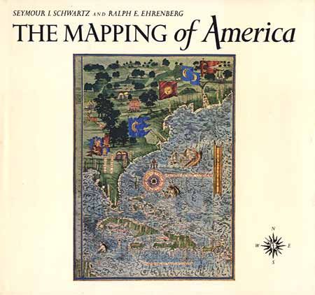
Auction 93, Lot 499
Subject: Cartographic Reference
Schwartz & Ehrenberg
The Mapping of America, 1980
Size: 11.9 x 11 inches (30.2 x 27.9 cm)
Estimate: $200 - $250
Sold for: $425
Closed on 12/6/2000
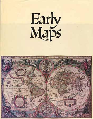
Auction 93, Lot 500
Subject: Cartographic Reference
Campbell, Tony
Early Maps, 1981
Size: 12 x 15 inches (30.5 x 38.1 cm)
Estimate: $60 - $80
Sold for: $210
Closed on 12/6/2000
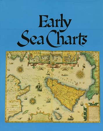
Auction 93, Lot 501
Subject: Cartographic Reference
Putman, Robert
Early Sea Charts, 1983
Size: 12 x 15.2 inches (30.5 x 38.6 cm)
Estimate: $60 - $80
Sold for: $120
Closed on 12/6/2000
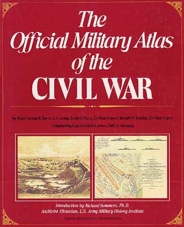
Auction 93, Lot 502
Subject: Cartographic Reference
The Official Military Atlas of the Civil War, 1983
Size: 13 x 16 inches (33 x 40.6 cm)
Estimate: $100 - $120
Sold for: $75
Closed on 12/6/2000
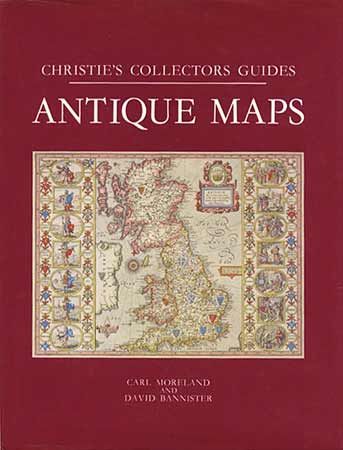
Auction 93, Lot 503
Subject: Cartographic Reference
Moreland & Bannister
Antique Maps, 1986
Size: 7.8 x 10 inches (19.8 x 25.4 cm)
Estimate: $60 - $70
Sold for: $210
Closed on 12/6/2000
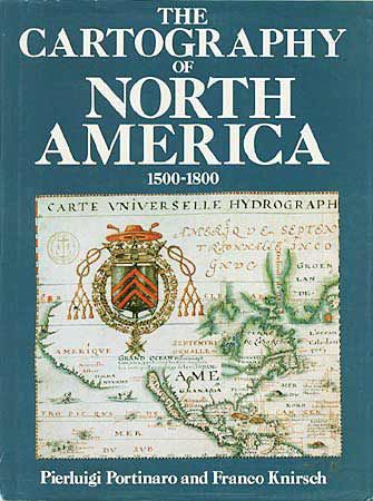
Auction 93, Lot 504
Subject: Cartographic Reference
Portinaro & Knirsch
The Cartography of North America 1500-1800, 1987
Size: 9.7 x 13 inches (24.6 x 33 cm)
Estimate: $45 - $55
Sold for: $140
Closed on 12/6/2000
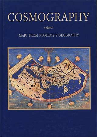
Auction 93, Lot 505
Subject: Cartographic Reference
Ptolemy
Clavdii Ptolemaei - Cosmographia Tabulae, 1990
Size: 10.7 x 15 inches (27.2 x 38.1 cm)
Estimate: $25 - $35
Sold for: $65
Closed on 12/6/2000
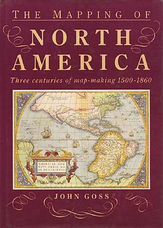
Auction 93, Lot 506
Subject: Cartographic Reference
Goss, John
The Mapping of North America, 1990
Size: 10.2 x 14.2 inches (25.9 x 36.1 cm)
Estimate: $70 - $90
Sold for: $150
Closed on 12/6/2000
Auction 93, Lot 507
Subject: Cartographic Reference
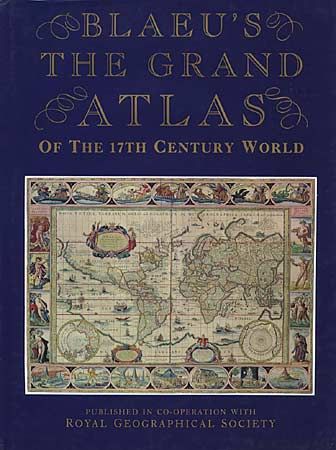
Goss, John
Blaeu's The Grand Atlas of the 17th Century World, 1990
Size: 11.5 x 15.2 inches (29.2 x 38.6 cm)
Estimate: $40 - $50
Sold for: $210
Closed on 12/6/2000
Auction 93, Lot 508
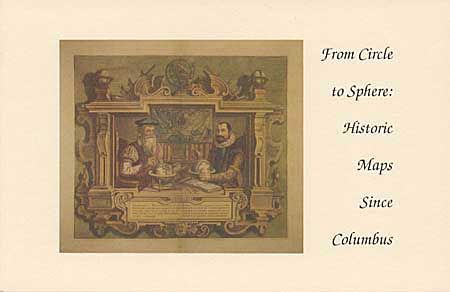
Subject: Cartographic Reference
Delaney, John
From Circle to Sphere: Historic Maps since Columbus, 1992
Size: 8.5 x 5.5 inches (21.6 x 14 cm)
Estimate: $30 - $40
Sold for: $110
Closed on 12/6/2000
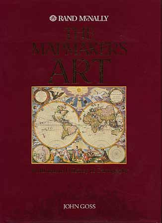
Auction 93, Lot 509
Subject: Cartographic Reference
Goss, John
The Mapmaker's Art - An Illustrated History of Cartography, 1993
Size: 11 x 14.7 inches (27.9 x 37.3 cm)
Estimate: $80 - $100
Sold for: $375
Closed on 12/6/2000
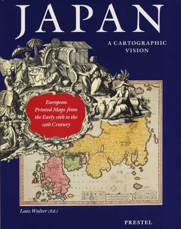
Auction 93, Lot 510
Subject: Cartographic Reference
Walter, Lutz
Japan, a Cartographic Vision European Printed Maps from the Early 16th to the 19th Century, 1994
Size: 9.8 x 12.5 inches (24.9 x 31.8 cm)
Estimate: $80 - $100
Sold for: $70
Closed on 12/6/2000
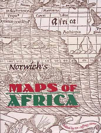
Auction 93, Lot 511
Subject: Cartographic reference
Norwich, Oscar I.
Norwich's Maps of Africa an Illustrated and Annotated Carto-bibliography, 1997
Size: 8.8 x 11.2 inches (22.4 x 28.4 cm)
Estimate: $120 - $140
Sold for: $150
Closed on 12/6/2000
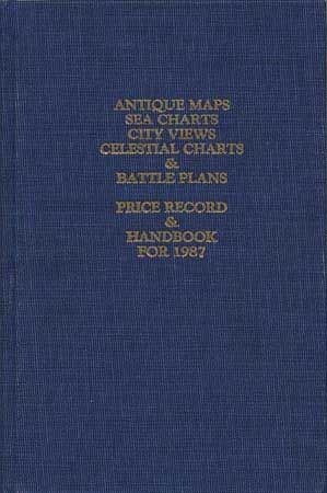
Auction 93, Lot 512
Subject: Cartographic Reference
Jolly, David C.
Antique Maps, Sea Charts, City Views, Celestial Charts & Battle Plans - Price Record & Handbook for 1987, 1987
Size: 6.3 x 9.3 inches (16 x 23.6 cm)
Estimate: $50 - $60
Sold for: $140
Closed on 12/6/2000
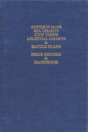
Auction 93, Lot 513
Subject: Cartographic Reference
Jolly, David C.
Antique Maps, Sea Charts, City Views, Celestial Charts & Battle Plans - Price Record & Handbook for 1991, 1991
Size: 9 x 6.5 inches (22.9 x 16.5 cm)
Estimate: $45 - $55
Sold for: $110
Closed on 12/6/2000
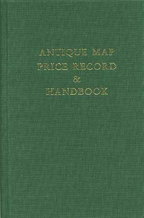
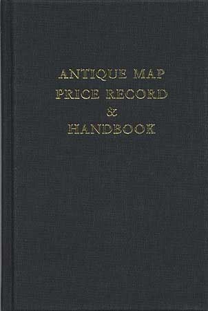
Auction 93, Lot 514
Subject: Cartographic Reference
Rosenthal, Jon
Antique Map Price Record & Handbook - 1993, 1993
Size: 6.3 x 9.3 inches (16 x 23.6 cm)
Estimate: $50 - $60
Sold for: $55
Closed on 12/6/2000
Auction 93, Lot 515
Subject: Cartographic Reference
Rosenthal, Jon
Antique Map Price Record & Handbook - 1994, 1994
Size: 6.3 x 9.3 inches (16 x 23.6 cm)
Estimate: $50 - $60
Sold for: $95
Closed on 12/6/2000
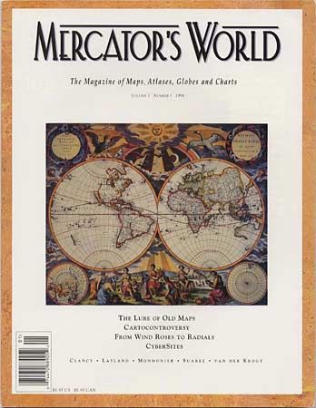
Auction 93, Lot 516
Subject: Cartographic Reference
[Lot of 8] Mercator's World - The Magazine of Maps, Atlases, Globes & Charts, 1996-97
Size: 8.5 x 10.9 inches (21.6 x 27.7 cm)
Estimate: $300 - $350
Sold for: $220
Closed on 12/6/2000
42 lots