Catalog Archive
Auction 93, Lot 488

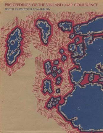
"Proceedings of the Vinland Map Conference",

Subject: Cartographic Reference

Period: 1971 (published)

Publication: University of Chicago Press

Color:

Size:
8.8 x 11.2 inches
22.4 x 28.4 cm
Download High Resolution Image
(or just click on image to launch the Zoom viewer)

Two-page color plate of the Vinland Map, black & white illustrations. A comprehensive chronicle of the debate surrounding the then controversial Vinland Map. If genuine, the Vinland Map, believed to be printed mid-15th Century, is the only known pre-Columbian map showing the existence of North America. According to the owners inscription, this book was presented to him by Lawrence Witten following a "long Vinland lunch." Witten is the dealer who sold the Vinland map in 1959 to a Yale alumni. Edited by Wilcomb E. Washburn. Maroon cloth and blue boards, with dustjacket. 185pp.

References:

Condition: A

Estimate: $50 - $60

Sold for: $30

Closed on 12/6/2000

Archived