Catalog Archive
Auction 93, Lot 479

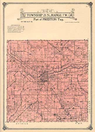
"Atlas and Farm Directory with complete survey in Townships plats of Trempealeau County Wisconsin",

Subject: Atlas

Period: 1914 (published)

Publication: The Farmer, A Journal of Agriculture

Color: Printed Color

Size:
12.2 x 16.1 inches
31 x 40.9 cm
Download High Resolution Image
(or just click on image to launch the Zoom viewer)

Containing plats of all townships with accompanying list of occupants including all family members. Also maps of Wisconsin, the U.S. and the world. The County map details location of townships, villages, roads, schools, churches, railroads, streams and more. Web Publishing Co., St. Paul, Minnesota. Drawn and engraved by the Andersen Publishing Co., Chicago. Folio, 17 single page- and 7 double pages maps, all colored, directories and index.

References:

Condition: A

Hardbound in green cloth with shelf wear, interior very clean. Contents and binding tight.

Estimate: $80 - $100

Sold for: $75

Closed on 12/6/2000

Archived