Subject: Cartographic Reference
Period: 1994 (published)
Publication:
Color:
Size:
9.8 x 12.5 inches
24.9 x 31.8 cm
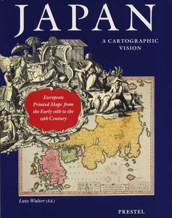
An informative book on the mapping of Japan. It explores the changing shape of Japan as conceived by Western explorers and cartographers, from the crude and fanciful depictions of the early sixteenth century to the first accurate maps published in the mid-nineteenth century. The eleven essays are generously illustrated with portraits, drawings, contemporary views, and maps. The plates are followed by a catalogue with detailed notes to the plates. An important feature of the book is the "List of Printed Maps of Japan before 1800." Consisting of 128 items, it incorporates the results of recent research and updates Dr. Tony Campbell's pioneering "Japan: European Printed Maps To 1800," published in 1967." Edited by Lutz Walter on behalf of the German East-Asiatic Society, on the occasion of its 120th anniversary. 232 pages with illustrations, 182 in color. Hard bound in red cloth with dust jacket.
References:
Condition: A+
Mint.