Catalog Archive
Auction 93, Lot 490

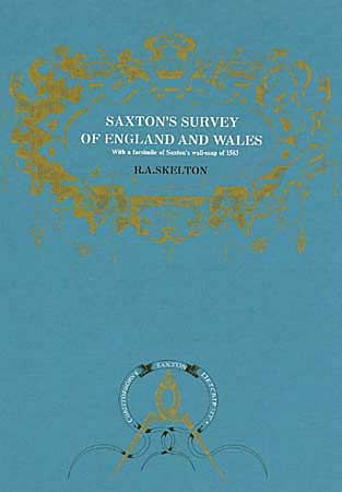
"Saxton's Survey of England and Wales", Skelton, R. A.
Subject: Cartographic Reference

Period: 1974 (published)

Publication: Nico Israel

Color:

Size:
13.2 x 19.4 inches
33.5 x 49.3 cm
Download High Resolution Image
(or just click on image to launch the Zoom viewer)

Maps from the survey of Christopher Saxton, begun about 1573 and completed in 1578. Although no manuscript maps from his survey are known, it produced two major cartographic works: the series of 34 country maps (1574 - 1579), and a map engraved on 20 plates, dated 1583, the subject of this book, which includes a facsimile of the map. Hard bound, with title in white, and ornamentation in gold on front cover.

References:

Condition: A+

Mint.

Estimate: $50 - $70

Sold for: $80

Closed on 12/6/2000

Archived