Filtered by Category:Books, Atlases, Travel Guides, Geography & Reference Books(Show All Categories)
Showing results for:Auction 153
Catalog Archive
50 lots
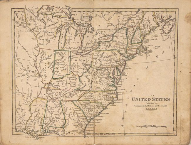
Auction 153, Lot 757
Subject: Atlases
Cummings & Hilliard
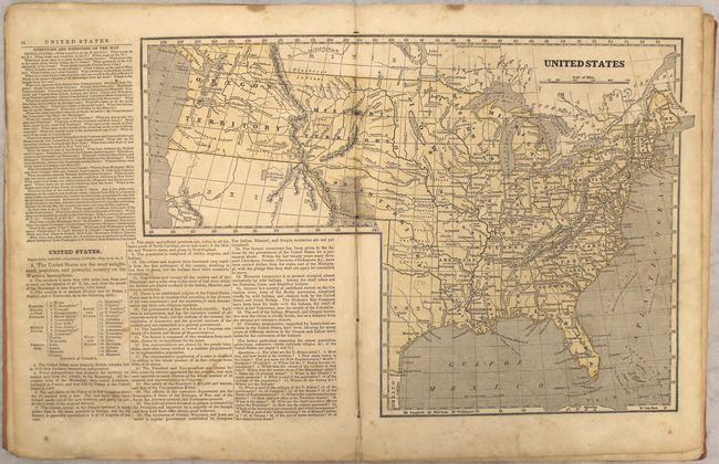
School Atlas to Cummings' Ancient & Modern Geography. Eighth Edition, 1815
Size: 6.5 x 9.6 inches (16.5 x 24.4 cm)
Estimate: $200 - $230
Sold for: $150
Closed on 5/20/2015
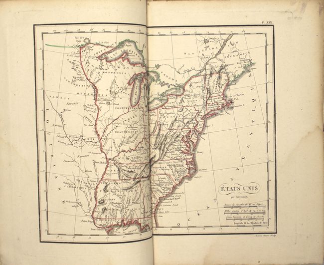
Auction 153, Lot 758
Subject: Atlases
Langlois, Hyacinthe
Nouvel Atlas Elementaire, pour la Dixieme Edition de l'Abrege de Geographie de Guthrie, Contenant 15 Cartes Enluminees, par Arrowsmith et d'Anville, 1820
Size: 7.4 x 10.6 inches (18.8 x 26.9 cm)
Estimate: $350 - $425
Unsold
Closed on 5/20/2015
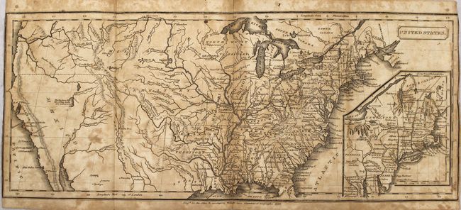
Auction 153, Lot 759
Subject: Atlases
Willetts, Jacob
[Untitled - School Atlas], 1826
Size: 5.3 x 8.7 inches (13.5 x 22.1 cm)
Estimate: $150 - $180
Sold for: $130
Closed on 5/20/2015
Auction 153, Lot 760
Subject: Atlases
[Lot of 2] Atlas der Alten Welt [bound with] Allgemeiner Schul-Atlas uber all Theile der Erde [and] Th. von Liechtenstern und Henry Lange's Schul-Atlas zum Unterricht in der Erdkunde…, 1830-76
Size: See Description
Estimate: $150 - $200
NO RESERVE
Sold for: $160
Closed on 5/20/2015
Auction 153, Lot 761
Subject: Atlases
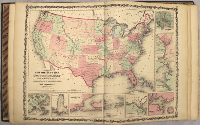
Johnson & Ward
Johnson's New Illustrated (Steel Plate) Family Atlas, with Descriptions, Geographical, Statistical, and Historical, 1862
Size: 14.8 x 18.5 inches (37.6 x 47 cm)
Estimate: $900 - $1,200
Sold for: $650
Closed on 5/20/2015
Auction 153, Lot 762
Subject: Atlases
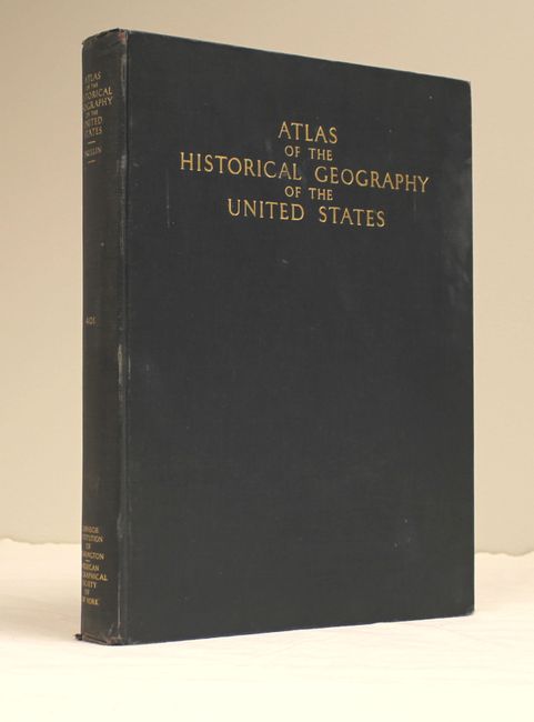
Paullin, Charles O.
Atlas of the Historical Geography of the United States, 1932
Size: 11.1 x 14.4 inches (28.2 x 36.6 cm)
Estimate: $130 - $160
Sold for: $200
Closed on 5/20/2015
Auction 153, Lot 763
Subject: Atlases
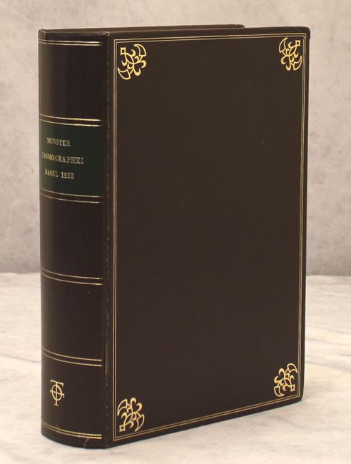
Munster, Sebastian
[Facsimile] Cosmographei, 1968
Size: 9.2 x 13.6 inches (23.4 x 34.5 cm)
Estimate: $325 - $400
Sold for: $475
Closed on 5/20/2015
Auction 153, Lot 764
Subject: Atlases
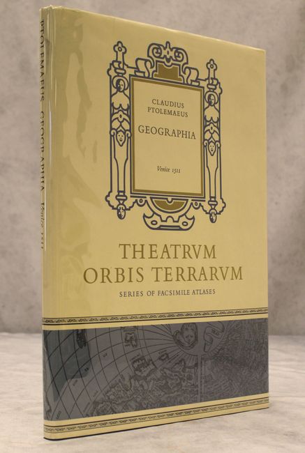
Ptolemy/Sylvanus
[Facsimile] Geographia, 1969
Size: 11.9 x 17 inches (30.2 x 43.2 cm)
Estimate: $250 - $325
Sold for: $230
Closed on 5/20/2015
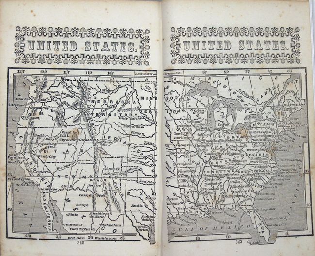
Auction 153, Lot 765
Subject: Geography Books
Morse, Sidney Edwards
System of Geography, for the Use of Schools. Illustrated with More Than Fifty Cerographic Maps, and Numerous Wood-Cut Engravings, 1846
Size: 9.5 x 12.5 inches (24.1 x 31.8 cm)
Estimate: $220 - $275
Sold for: $275
Closed on 5/20/2015
Auction 153, Lot 766
Subject: Geography Books
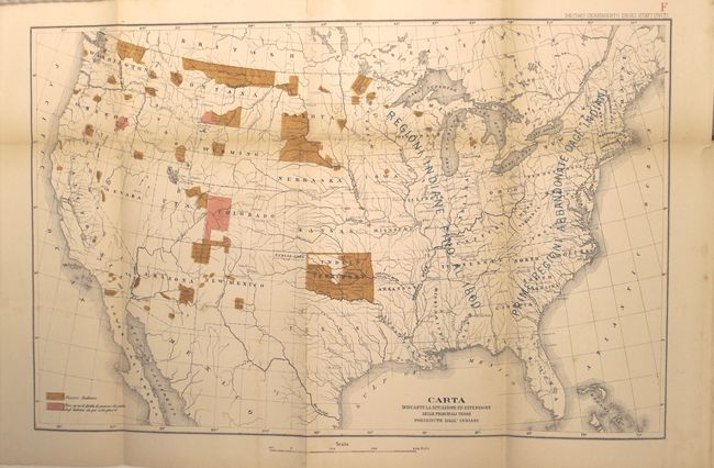
Gli Stati Uniti e la Concorrenza Americana Studi di Agricoltura, Industria e Commercio da un Recente Viaggio, 1884
Size: 6 x 8.8 inches (15.2 x 22.4 cm)
Estimate: $110 - $140
Sold for: $80
Closed on 5/20/2015

Auction 153, Lot 767
Subject: Exploration & Surveys
Spilbergen, Joris van (Adm)
Miroir Oost & West-Indical, Auquel sont Descriptes les Deux Dernieres Navigations, Faictes es Annees 1614. 1615. 1616. 1617. & 1618..., 1621
Size: 9.5 x 7 inches (24.1 x 17.8 cm)
Estimate: $2,750 - $3,500
Rare Early Account of Spilbergen and Le Maire's Voyages
Sold for: $1,500
Closed on 5/20/2015
Auction 153, Lot 768
Subject: Exploration & Surveys
Prevost, Anton Francois
Histoire Generale des Voiages, ou Nouvelle Collection ... Tome Cinquante-Sixieme, 1758
Size: 4 x 7.1 inches (10.2 x 18 cm)
Estimate: $800 - $1,000
Unsold
Closed on 5/20/2015
Auction 153, Lot 769
Subject: Exploration & Surveys
Prevost, Anton Francois
Histoire Generale des Voiages, ou Nouvelle Collection ... Tome Cinquante-Cinquieme, 1758
Size: 4 x 7.1 inches (10.2 x 18 cm)
Estimate: $800 - $1,000
Unsold
Closed on 5/20/2015
Auction 153, Lot 770
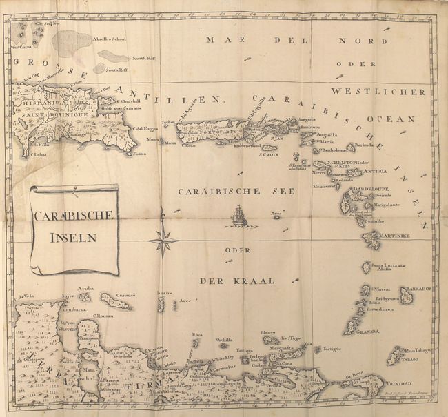
Subject: Exploration & Surveys, US Virgin Islands
Geschichte der Mission der Evangelischen Bruder auf den Caraibischen Inseln S. Thomas, S. Croix und S. Jan…, 1777
Size: 4.5 x 7.5 inches (11.4 x 19.1 cm)
Estimate: $900 - $1,100
Rare History of Moravian Missions in US Virgin Islands
Unsold
Closed on 5/20/2015
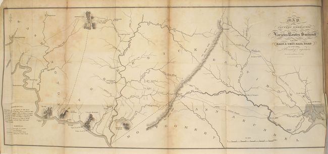
Auction 153, Lot 771
Subject: Exploration & Surveys, Railroads
Railroad Companies, (Various)
[Annual Reports of the Stockholders of the B & O Railroad 1827-1831], 1827-31
Size: 5.5 x 8.9 inches (14 x 22.6 cm)
Estimate: $600 - $800
Sold for: $275
Closed on 5/20/2015
Auction 153, Lot 772
Subject: Exploration & Surveys
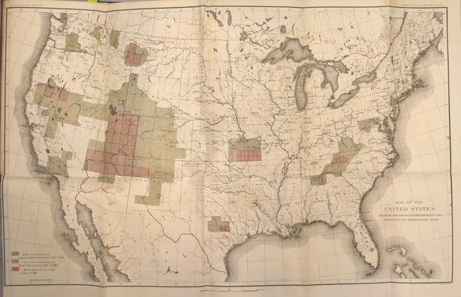
U.S. Coast Survey
Letter from the Secretary of the Treasury, Transmitting the Report of the Superintendent of the Coast Survey, Showing the Progress of That Work During the Year Ending November, 1850, 1850
Size: 5.8 x 8.9 inches (14.7 x 22.6 cm)
Estimate: $220 - $275
Sold for: $120
Closed on 5/20/2015
Auction 153, Lot 773
Subject: Exploration & Surveys
U.S. Government
Message from the President of the United States to the Two Houses of Congress ... Part IV..., 1856
Size: 8.8 x 11.9 inches (22.4 x 30.2 cm)
Estimate: $250 - $325
Sold for: $150
Closed on 5/20/2015
Auction 153, Lot 774
Subject: Exploration & Surveys
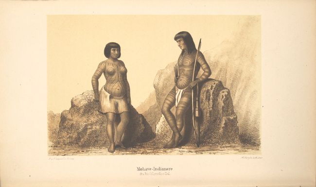
Mollhausen, Balden
Vandringer Gjennem det Vestlige Nordamerikas Prairier og Udorkener fra Mississippi til Sydhavets Kyster, 1862
Size: 5.8 x 9.1 inches (14.7 x 23.1 cm)
Estimate: $250 - $325
Sold for: $180
Closed on 5/20/2015
Auction 153, Lot 775
Subject: Exploration & Surveys, Grand Canyon
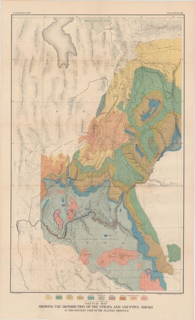
Powell, John Wesley
[Second Annual Report of the United States Geological Survey], 1882
Size: 8 x 11.5 inches (20.3 x 29.2 cm)
Estimate: $400 - $500
Sold for: $450
Closed on 5/20/2015
Auction 153, Lot 776
Subject: Exploration & Surveys
Powell, John Wesley
[Seventh Annual Report of the United States Geological Survey], 1888
Size: 7.9 x 11.5 inches (20.1 x 29.2 cm)
Estimate: $275 - $350
Unsold
Closed on 5/20/2015
Auction 153, Lot 777
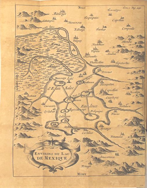
Subject: History Books, Mexico
[2 Volumes] Histoire de la Conquete du Mexique, ou de la Nouvelle Espagne..., 1692
Size: 4.1 x 6.6 inches (10.4 x 16.8 cm)
Estimate: $950 - $1,300
Solis' Complete History of the Conquest of Mexico
Unsold
Closed on 5/20/2015
Auction 153, Lot 778
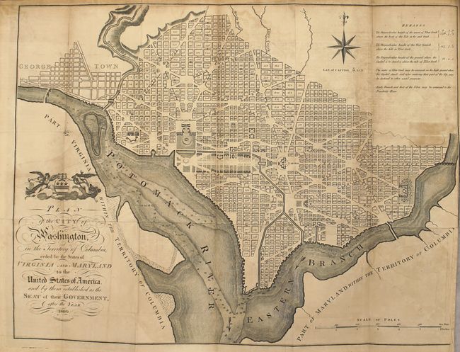
Subject: History Books
Winterbotham, William
[4 Volumes] An Historical Geographical, Commercial, and Philosophical View of the American United States, and of the European Settlements in America and the West-Indies, 1795
Size: 5.4 x 8.8 inches (13.7 x 22.4 cm)
Estimate: $7,500 - $9,000
Extremely Scarce Complete Set with the Plan of Washington
Unsold
Closed on 5/20/2015
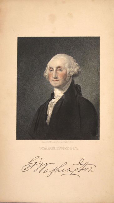
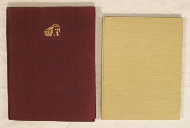
Auction 153, Lot 779
Subject: History Books, Atlases
Marshall, John
[2 Volumes] The Life of George Washington, Commander in Chief of the American Forces ... Second Edition... Vol. I [and] ... Vol. II, 1836
Size: 5.6 x 8.8 inches (14.2 x 22.4 cm)
Estimate: $400 - $500
Sold for: $300
Closed on 5/20/2015
Auction 153, Lot 780
Subject: Miscellaneous Books
Beadle, D. W.
The American Lawyer, and Business-Man's Form Book…, 1851
Size: 5 x 7.8 inches (12.7 x 19.8 cm)
Estimate: $160 - $200
Sold for: $70
Closed on 5/20/2015
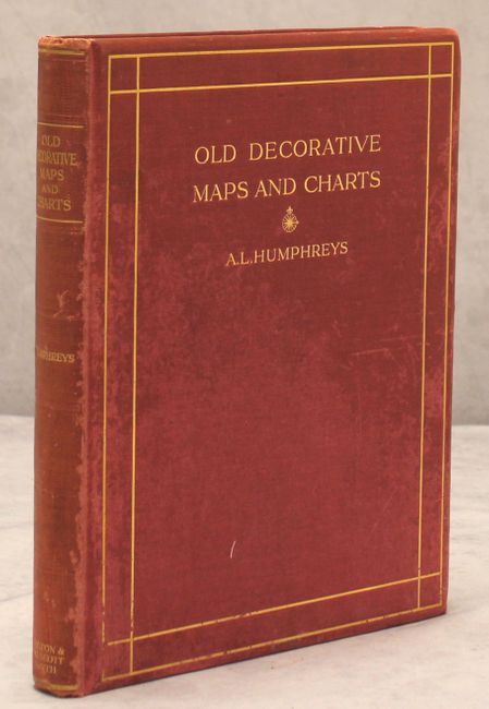
Auction 153, Lot 781
Subject: References
Humphreys, A.L.
Old Decorative Maps and Charts, 1926
Size: 10 x 12.5 inches (25.4 x 31.8 cm)
Estimate: $150 - $180
Sold for: $100
Closed on 5/20/2015
Auction 153, Lot 782
Subject: References
[Lot of 2] Decorative Printed Maps of the 15th to 18th Centuries [and] Five Centuries of Map Printing, 1952-75
Size: See Description
Estimate: $80 - $100
Sold for: $60
Closed on 5/20/2015
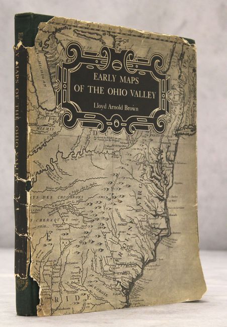
Auction 153, Lot 783
Subject: References
Brown, Lloyd Arnold
Early Maps of the Ohio Valley - A Selection of Maps, Plans, and Views Made by Indians and Colonials from 1673 to 1783, 1959
Size: 8.8 x 11.3 inches (22.4 x 28.7 cm)
Estimate: $120 - $150
Sold for: $85
Closed on 5/20/2015

Auction 153, Lot 784
Subject: References
Cumming, William P.
The Southeast in Early Maps with an Annotated Check List of Printed and Manuscript Regional and Local Maps of Southeastern North America During the Colonial Period, 1962
Size: 8.8 x 11.3 inches (22.4 x 28.7 cm)
Estimate: $140 - $170
Sold for: $100
Closed on 5/20/2015
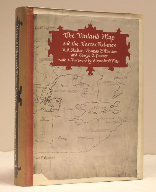
Auction 153, Lot 785
Subject: References
Skelton, Marston and Painter
The Vinland Map and the Tartar Relation, 1965
Size: 9.4 x 11.8 inches (23.9 x 30 cm)
Estimate: $35 - $50
Sold for: $25
Closed on 5/20/2015
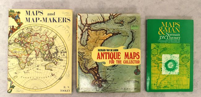
Auction 153, Lot 786
Subject: References
[Lot of 3] Maps and Map-Makers [and] Antique Maps for the Collector [and] Maps & Man - An Examination of Cartography in Relation to Culture and Civilization, 1970-72
Size: See Description
Estimate: $60 - $80
NO RESERVE
Sold for: $55
Closed on 5/20/2015
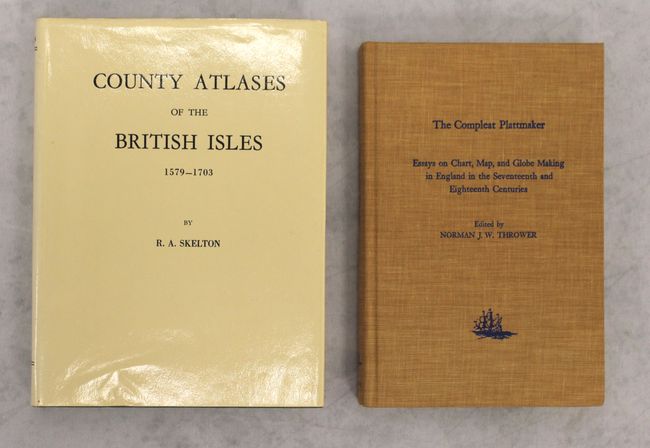
Auction 153, Lot 787
Subject: References
[Lot of 2] County Atlases of the British Isles 1579-1850 [and] The Compleat Plattmaker - Essays on Chart, Map, and Globe Making in England in the Seventeenth and Eighteenth Centuries, 1970-78
Size: See Description
Estimate: $60 - $80
NO RESERVE
Sold for: $6
Closed on 5/20/2015
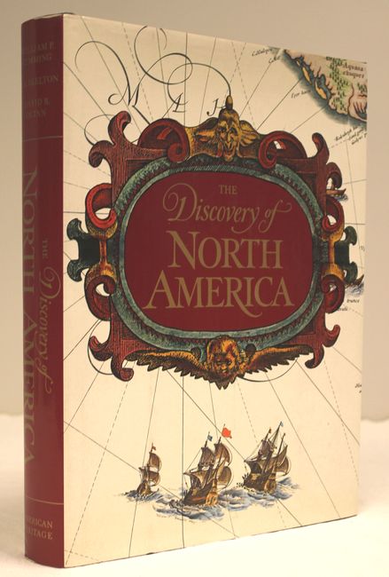
Auction 153, Lot 788
Subject: References
Cummings, Skelton & Quinn
The Discovery of North America, 1972
Size: 9.3 x 12.1 inches (23.6 x 30.7 cm)
Estimate: $55 - $75
Sold for: $35
Closed on 5/20/2015
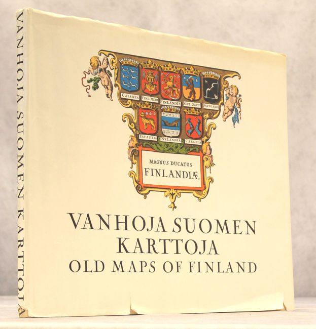
Auction 153, Lot 789
Subject: References
Vanhoja Suomen Karttoja - Old Maps of Finland, 1973
Size: 14.8 x 12.8 inches (37.6 x 32.5 cm)
Estimate: $80 - $100
Sold for: $50
Closed on 5/20/2015
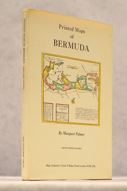
Auction 153, Lot 790
Subject: References
Palmer, Margaret
Printed Maps of Bermuda, 1974
Size: 7.4 x 10.1 inches (18.8 x 25.7 cm)
Estimate: $80 - $100
Sold for: $60
Closed on 5/20/2015
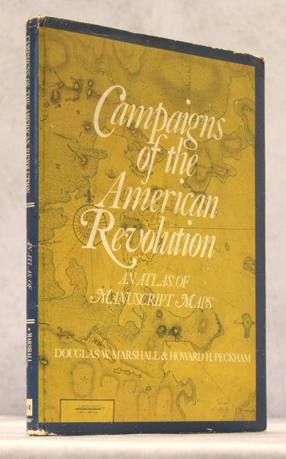
Auction 153, Lot 791
Subject: References
Marshall and Peckham
Campaigns of the American Revolution - An Atlas of Manuscript Maps, 1976
Size: 10 x 13.3 inches (25.4 x 33.8 cm)
Estimate: $55 - $75
NO RESERVE
Sold for: $26
Closed on 5/20/2015
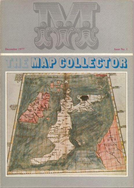
Auction 153, Lot 792
Subject: References
Tooley, R. V.
[Lot of 74] The Map Collector Magazine, 1977-96
Size: 8.3 x 11.8 inches (21.1 x 30 cm)
Estimate: $550 - $750
Sold for: $300
Closed on 5/20/2015
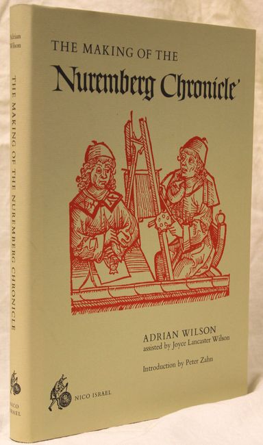
Auction 153, Lot 793
Subject: References, Incunabula
Wilson, Adrian
The Making of the Nuremberg Chronicle, 1978
Size: 9.9 x 14 inches (25.1 x 35.6 cm)
Estimate: $160 - $190
Sold for: $80
Closed on 5/20/2015
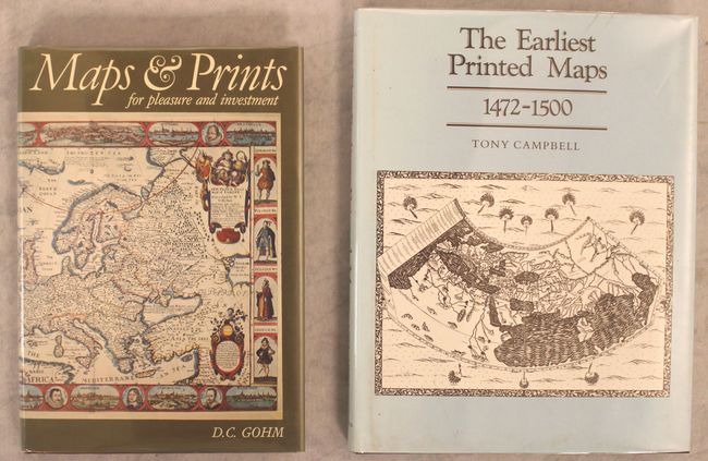
Auction 153, Lot 794
Subject: References
[Lot of 2] Maps and Prints for Pleasure and Investment [and] The Earliest Printed Maps 1472-1500, 1978-87
Size: See Description
Estimate: $80 - $100
Sold for: $60
Closed on 5/20/2015
Auction 153, Lot 795
Subject: References
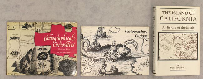
[Lot of 3] Cartographical Curiosities [and] Cartographica Curiosa... [and] The Island of California - A History of the Myth, 1978-91
Size: See Description
Estimate: $75 - $95
Sold for: $55
Closed on 5/20/2015
Auction 153, Lot 796
Subject: References
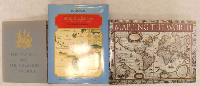
[Lot of 3] The Italians and the Creation of America - An Exhibition at the John Carter Brown Library Brown University [and] Atlas of Columbus and the Great Discoveries [and] Mapping the World, 1980-2006
Size: See Description
Estimate: $55 - $75
Sold for: $40
Closed on 5/20/2015
Auction 153, Lot 797
Subject: References
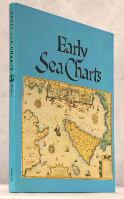
Putman, Robert
Early Sea Charts, 1983
Size: 12.1 x 15.3 inches (30.7 x 38.9 cm)
Estimate: $100 - $130
Sold for: $55
Closed on 5/20/2015
Auction 153, Lot 798
Subject: References
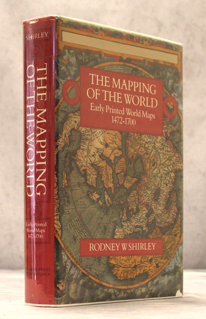
Shirley, Rodney W.
The Mapping of the World Early Printed World Maps 1472-1700, 1984
Size: 9.7 x 13.8 inches (24.6 x 35.1 cm)
Estimate: $550 - $700
Sold for: $600
Closed on 5/20/2015
Auction 153, Lot 799
Subject: References
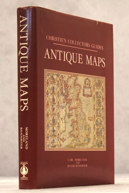
Moreland & Bannister
Christie's Collectors Guides - Antique Maps, 1986
Size: 7.8 x 10 inches (19.8 x 25.4 cm)
Estimate: $60 - $80
NO RESERVE
Sold for: $75
Closed on 5/20/2015
Auction 153, Lot 800
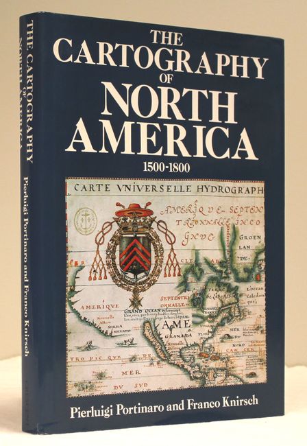
Subject: References
Portinaro & Knirsch
The Cartography of North America 1500-1800, 1987
Size: 9.8 x 13.1 inches (24.9 x 33.3 cm)
Estimate: $80 - $100
Unsold
Closed on 5/20/2015
Auction 153, Lot 801
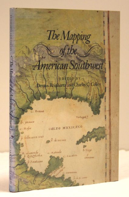
Subject: References
Reinhartz/Colley
The Mapping of the American Southwest, 1988
Size: 7.4 x 10.4 inches (18.8 x 26.4 cm)
Estimate: $55 - $75
Sold for: $110
Closed on 5/20/2015
Auction 153, Lot 802
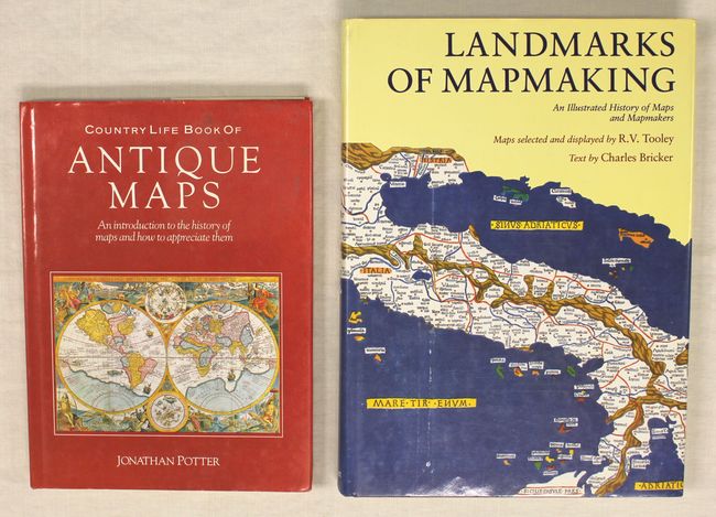
Subject: References
[Lot of 2] Landmarks of Mapmaking - An Illustrated Survey of Maps and Mapmaking [and] Country Life Book of Antique Maps - An Introduction to the History of Maps and How to Appreciate Them, 1988-89
Size: See Description
Estimate: $70 - $90
Sold for: $40
Closed on 5/20/2015
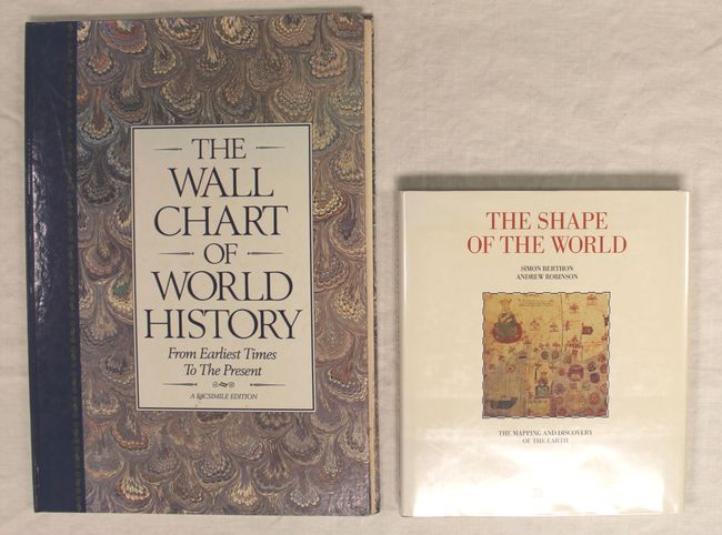
Auction 153, Lot 803
Subject: References
[Lot of 2] The Wall Chart of World History from Earliest Times to the Present - A Facsimile Edition [and] The Shape of the World, 1988-91
Size: See Description
Estimate: $55 - $75
Sold for: $40
Closed on 5/20/2015
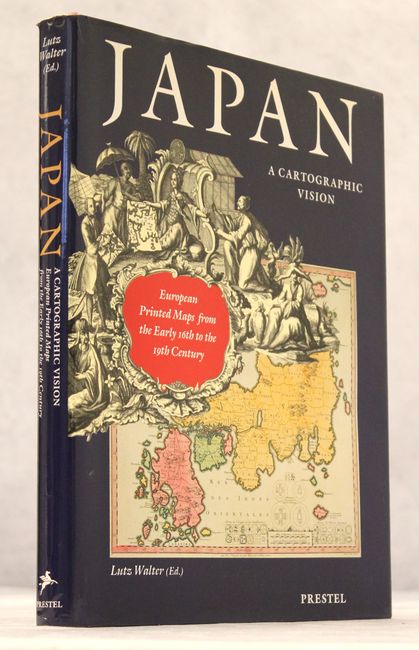
Auction 153, Lot 804
Subject: References
Walter, Lutz
Japan - A Cartographic Vision - European Printed Maps from the Early 16th to the 19th Century, 1994
Size: 9.7 x 12.5 inches (24.6 x 31.8 cm)
Estimate: $80 - $100
Sold for: $75
Closed on 5/20/2015

Auction 153, Lot 805
Subject: References
Wheat, Carl I.
[5 Volumes in 6 Books] Mapping the Transmississippi West ... 1540-1861, 1995
Size: 9.3 x 12.3 inches (23.6 x 31.2 cm)
Estimate: $800 - $950
Sold for: $600
Closed on 5/20/2015
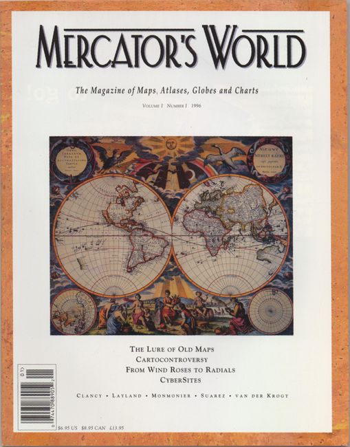
Auction 153, Lot 806
Subject: References
Mercator's World - The Magazine of Maps, Atlases, Globes and Charts Volume I Number I, 1996
Size: 8.5 x 10.9 inches (21.6 x 27.7 cm)
Estimate: $20 - $30
Hard to Find First Issue of Mercator's World - Signed Copy
Sold for: $39
Closed on 5/20/2015
50 lots