Subject: References
Period: 1978-87 (published)
Publication:
Color: Printed Color
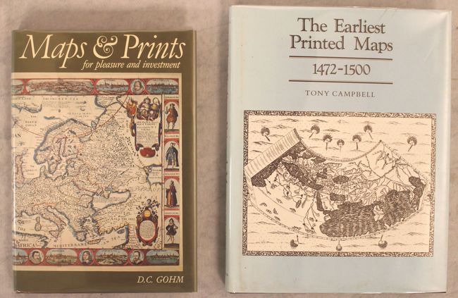
A. Maps and Prints for Pleasure and Investment, by Douglas Gohm, published 1978 (6.7 x 9.6"). Beautifully illustrated book that provides new collectors of maps and prints a good overview of the subject. 78 illustrations in color and B&W. It features a helpful glossary. 196 pages, plus an index. Hardbound in maroon cloth with a dust jacket protected by Mylar. Condition: Contents near fine with a hint of toning along the pages' edges. Covers fine.
B. The Earliest Printed Maps 1472-1500, by Tony Campbell, published 1987 (8.3 x 10.5"). This interesting reference focuses on the 222 maps known or believed to be printed prior to 1501, presenting a thorough history on mapmaking in the West. It features 69 black and white plates and one in full color at the front. 244 pages with a preface by Professor George Kish, a complete list of figures, an introduction, and various appendices, tables, and indexes. Hardbound in brown cloth with a gilt title on the spine and a dust jacket protected by a Mylar sleeve. Condition: Minor soiling on the dust jacket, else fine.
References:
Condition: A
See description above.