Subject: References
Period: 1973 (published)
Publication:
Color: Printed Color
Size:
14.8 x 12.8 inches
37.6 x 32.5 cm
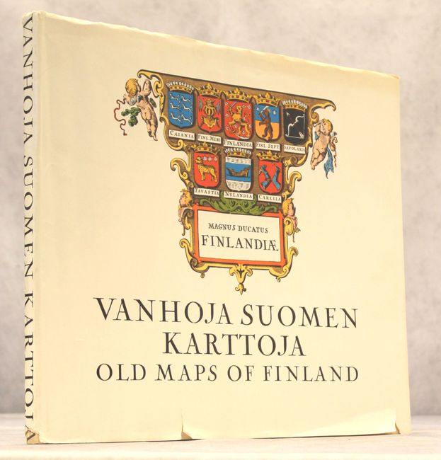
This fascinating reference is essential for collectors of maps of Finland. Starting with a Ptolemaic map from 1482, the first to depict Scandinavia as a peninsula, and ending nearly three centuries later with Bellin's tripartite chart of the Gulf of Bothnia, this reference covers the history of mapping Finland in 47 maps. The introduction and notes appear in both Finnish and English. Published by Kustannuskilta in Hesinki and printed by Suomalaisen Kirjallisuuden Kirjapaino Oy. 111 pages, with images in black and white and color. Hardbound in white cloth with a vivid, colorful illustration on the front cover and a dust jacket.
References:
Condition: B+
Contents fine. Covers have light toning and soiling. The dust jacket has minor toning and some small chips and tears.