Subject: References
Period: 1952-75 (published)
Publication:
Color:
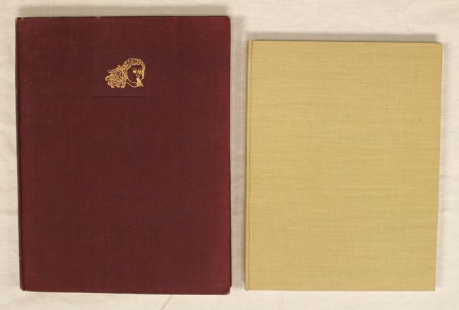
A. Decorative Printed Maps of the 15th to 18th Centuries, by R.A. Skelton, published 1952, black & white (9.6 x 12.5"). First edition of this revised edition of Old Decorative Maps and Charts by A.L. Humphreys. Mr. Skelton was the Superintendent of the Map Room at the British Museum when he published this work. 84 images in color and b/w, 80 text pages. Hardbound in red cloth, titled in gilt on spine. The dust jacket is absent. Condition: Text is lightly toned and the plates are good with faint toning along the sheet edges and a few creased corners. There is light wear to the covers and spine. (B+)
B. Five Centuries of Map Printing, by David Woodward, published 1975, printed color (8.6 x 11.3"). A series of essays compiled and edited by Woodward. These essays stem from lectures comprising the Third Series of Kenneth Nebenzahl, Jr., Lectures in the History of Cartography at the Newberry Library (1972). The authors, all renowned in the field of cartography, provide an excellent treatise of the various printing techniques used in map making, from woodcut to offset lithography. 177 pp, color frontispiece & 37 monochrome illustrations. Hardbound in library buckram. Condition: Contents and covers like new. (A+)
References:
Condition:
See description above.