Current Auction
"[Lot of 2] Seeing the Salt Lake Country [and] Points of Interest - Salt Lake City"
Subject: Salt Lake City, Utah
Period: 1913-22 (circa)
Publication:
Color: Printed Color
Size:
See Description
Download High Resolution Image
(or just click on image to launch the Zoom viewer)
(or just click on image to launch the Zoom viewer)
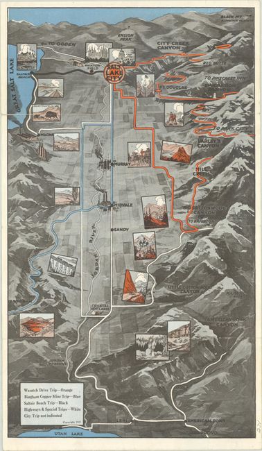
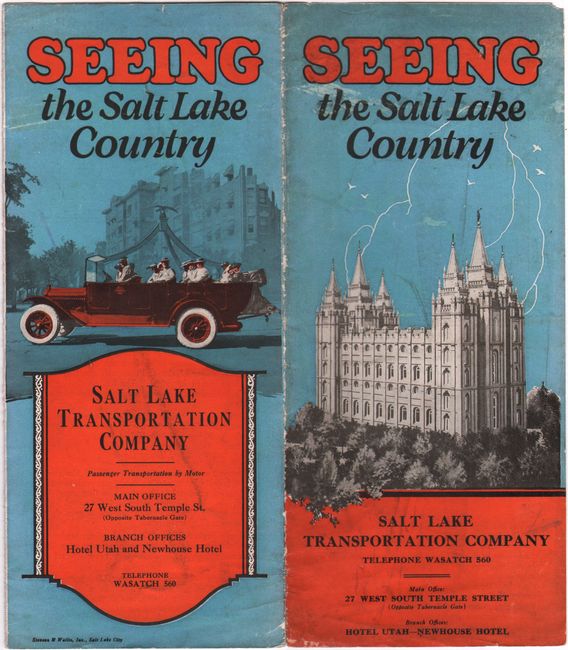
A. Seeing the Salt Lake Country, by Salt Lake Transportation Company, dated 1922 (8.8 x 15.2"). This well-designed pictorial map of Salt Lake City and environs spans from the Great Salt Lake east into the Wasatch Range. The map uses color-coding to identify the routes to tourist destinations: orange for a scenic drive through the Wasatch Range; blue for a trip to Bingham Copper Mine; black for Saltair Beach; and white for the highways and special trips. The mountainous terrain is well rendered, and there are small illustrated views throughout showing the sights. Verso features information for the tourist. Printed by Stevens & Wallis, Inc., Salt Lake City. Self-folding into pictorial covers (4.0 x 9.2)" showing the Salt Lake Temple and a loaded car of sightseers. Condition: Issued folding with three archivally repaired fold separations, only one of which is in the map and extends 1" into the image at bottom. There is light soiling on covers. (B+)
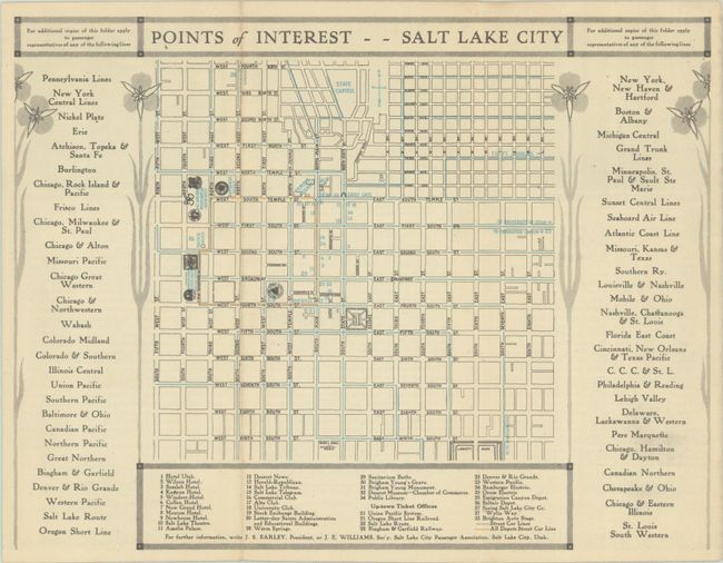
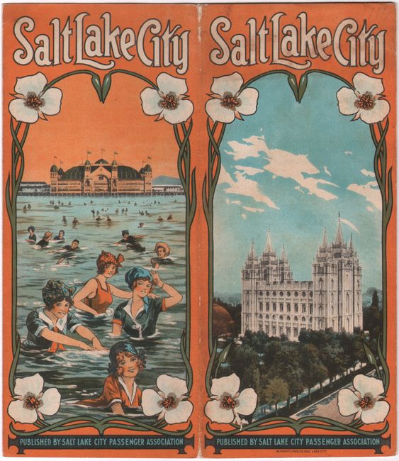
B. Points of Interest - Salt Lake City, by Salt Lake City Passenger Association, circa 1913 (11.3 x 8.6"). This scarce brochure map highlights Salt Lake City tourism prior to World War I. The map is a simple street grid with street car lines in blue and orange overprinting. A key lists 33 locations of interest. The rest of the brochure includes black & white photographs and text on tourists activities, among them the Mormon Trail, the "Garden of Utah" trip, Saltair, and Yellowstone. Publication date is an estimate based on the mention of the Wizard of the Wasatch carnival, a popular annual festival in Salt Lake City that ended in 1916. Self-folding into pictorial covers (4.0 x 9.0") featuring illustrations of bathing beauties at Saltair and the Salt Lake Temple. Condition: Near fine, issued folding. Covers have light soiling and minor wear. (A)
References:
Condition:
See description above.
Estimate: $160 - $190
Price: $120
Bid Increments
$100 - $249$10
$250 - $499$25
$500 - $999$50
$1,000 - $2,499$100
Terms & Conditions