Current Auction
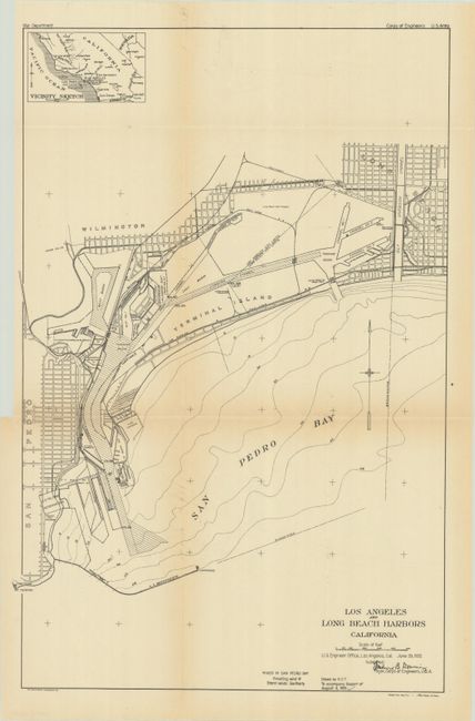
"[Map with Report] Los Angeles and Long Beach Harbors California", U.S. Corps of Engineers
Subject: Los Angeles, California
Period: 1921 (published)
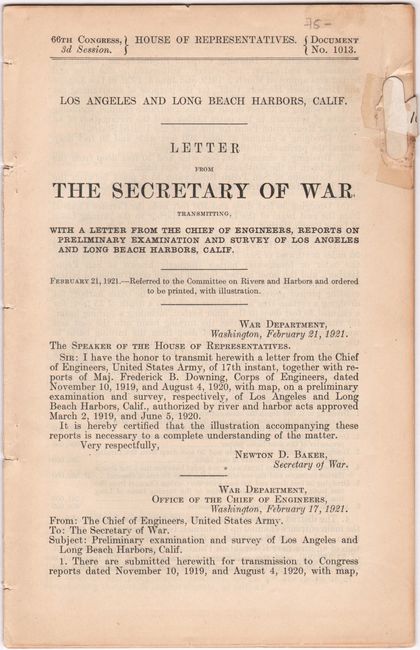
Publication: H.R. Doc. 1013, 66th Congress, 3rd Session
Color: Black & White
Size:
12.9 x 19.7 inches
32.8 x 50 cm
Download High Resolution Image
(or just click on image to launch the Zoom viewer)
(or just click on image to launch the Zoom viewer)
This detailed plan depicts the rapidly developing port facilities surrounding San Pedro Bay, including the cities of San Pedro, Wilmington, and Long Beach. The map illustrates the extensive system of channels, basins, wharves, slips, and terminal islands that formed the core of both ports. A number of businesses are also located and identified including those specializing in lumber, oil, salt, shipbuilding, and a fish cannery. Features a small inset of Southern California at top left. The map is accompanied by the disbound 32-page report which recommended major improvements in the Los Angeles and Long Beach harbors as they were becoming the dominant West Coast ports in the 1920s.
References:
Condition: B+
Issued folding with a binding trim at left and an associated 2.5" binding tear that has been closed on verso with archival tape. Disbound report has light toning and a repair at the top right of the title page.
Estimate: $140 - $170
Price: $100
Bid Increments
$50 - $99$5
$100 - $249$10
$250 - $499$25
$500 - $999$50
Terms & Conditions