Filtered by Category:Books, Atlases, Travel Guides, Geography & Reference Books(Show All Categories)
Showing results for:Auction 158
Catalog Archive
33 lots
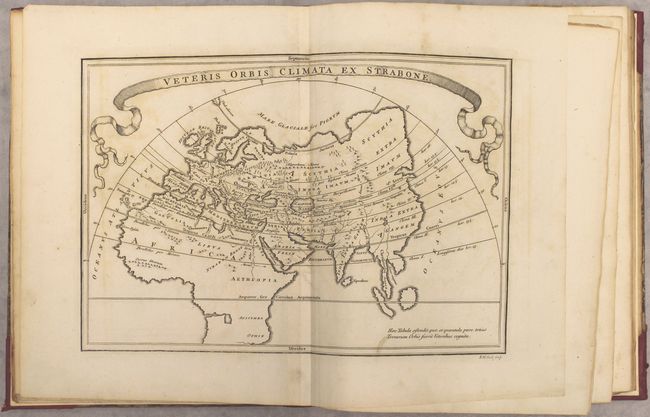
Auction 158, Lot 440
Subject: Atlases
Cellarius, Christophorus
Geographia Antiqua: Being a Complete Set of Maps of Antient Geography, Beautifully Engraved from Cellarius..., 1809
Size: 8.6 x 10.8 inches (21.8 x 27.4 cm)
Estimate: $450 - $550
Sold for: $325
Closed on 6/22/2016
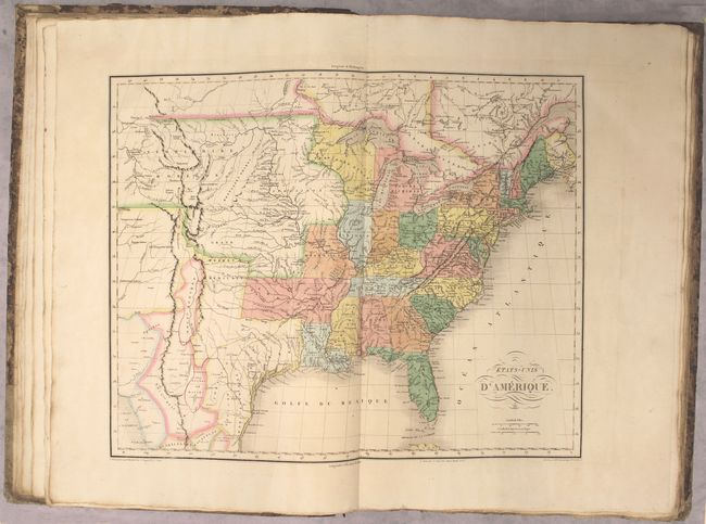
Auction 158, Lot 441
Subject: Atlases
Buchon, Jean Alexandre
Atlas Geographique, Statistique, Historique et Chronologique des Deux Ameriques et des Iles Adjacentes..., 1825
Size: 15 x 22.2 inches (38.1 x 56.4 cm)
Estimate: $5,500 - $7,000
Complete French Edition of Carey & Lea's "American Atlas"
Sold for: $3,750
Closed on 6/22/2016
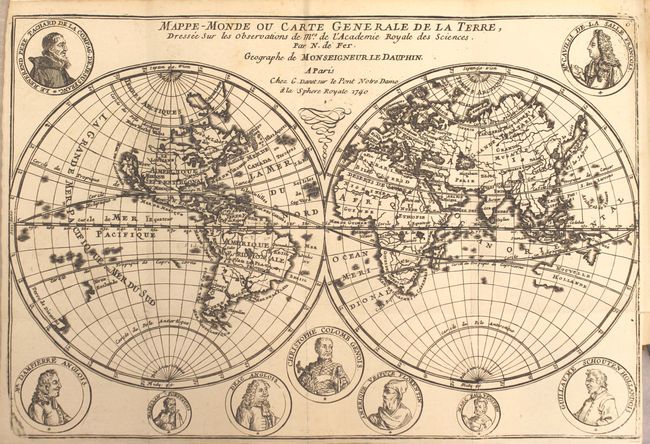
Auction 158, Lot 442
Subject: Geography Books
Fer, Nicolas de
Introduction a la Geographie avec Une Description Historique sur Touttes les Parties de la Terre, 1717
Size: 5 x 7.8 inches (12.7 x 19.8 cm)
Estimate: $2,300 - $2,750
Lovely Geography Book by De Fer with California as an Island
Sold for: $1,700
Closed on 6/22/2016
Auction 158, Lot 443
Subject: Geography Books
A Rhyming Geography for Little Boys and Girls Adapted for Home Instruction and for Junior Classes in Schools, 1873
Size: 5 x 6.3 inches (12.7 x 16 cm)
Estimate: $275 - $350
Rare Geography Book Written in Verse
Sold for: $200
Closed on 6/22/2016
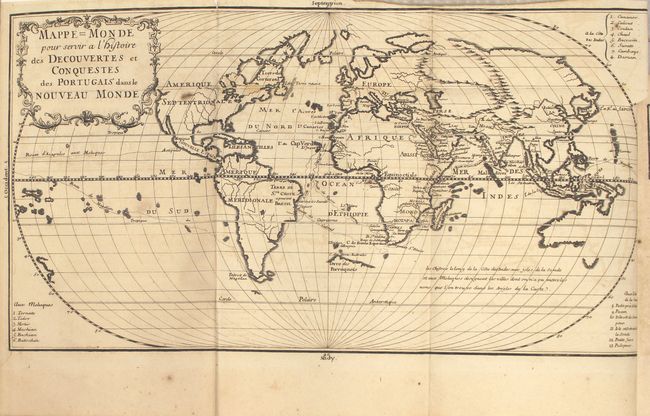
Auction 158, Lot 444
Subject: Exploration & Surveys
Histoire des Decouvertes et Conquestes des Portugais dans le Nouveau Monde ... Tome Premier, 1733
Size: 7.5 x 10.2 inches (19.1 x 25.9 cm)
Estimate: $800 - $950
Sold for: $600
Closed on 6/22/2016
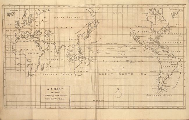
Auction 158, Lot 445
Subject: Exploration & Surveys
Anson, George
A Voyage Round the World, in the Years MDCCXL, I, II, III, IV..., 1780
Size: 5.3 x 8.8 inches (13.5 x 22.4 cm)
Estimate: $700 - $850
Unsold
Closed on 6/22/2016
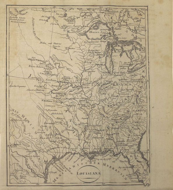
Auction 158, Lot 446
Subject: Exploration & Surveys
Ehrmann, Theodor Friedrich
Schilderung von Louisiana... [and] U. Rochon's Franzosischen Marine-Ustronoms zu Brest und Mitglieds des National-Instituts zu Paris, Reisen nach Marofo und Indien..., 1804
Size: 5 x 8 inches (12.7 x 20.3 cm)
Estimate: $600 - $750
Unsold
Closed on 6/22/2016
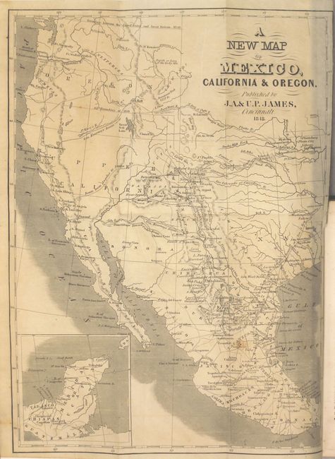
Auction 158, Lot 447
Subject: Exploration & Surveys
James, J. A. & U. P.
Doniphan's Expedition; Containing an Account of the Conquest of New Mexico; General Kearney's Overland Expedition to California..., 1848
Size: 4.9 x 7.8 inches (12.4 x 19.8 cm)
Estimate: $300 - $400
Sold for: $1,400
Closed on 6/22/2016
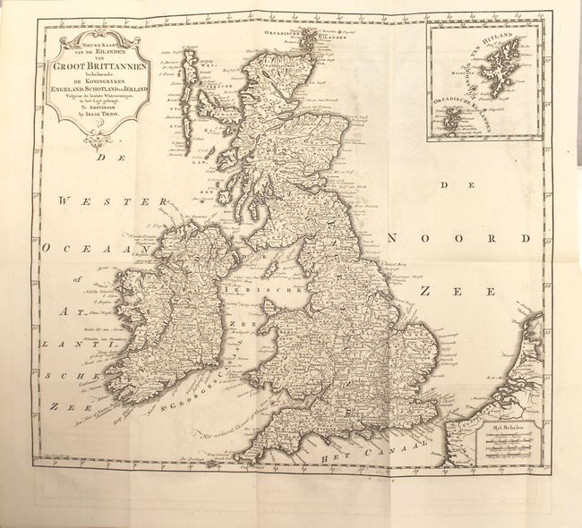
Auction 158, Lot 448
Subject: History Books
Tirion, Isaac
[2 Volumes] Hedendaagsche Historie, of Tegenwoordige Staat van Groot Brittannie..., 1754-55
Size: 5.1 x 8.2 inches (13 x 20.8 cm)
Estimate: $800 - $950
Tirion's History of Great Britain Including Map of British Possessions in North America - Complete
Unsold
Closed on 6/22/2016

Auction 158, Lot 449
Subject: History Books, England
[8 Volumes] The Peerage of England; Containing a Genealogical and Historical Account of All the Peers of That Kingdom..., 1779
Size: 5.3 x 8.7 inches (13.5 x 22.1 cm)
Estimate: $700 - $850
Unsold
Closed on 6/22/2016
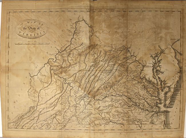
Auction 158, Lot 450
Subject: History Books
Jefferson, Thomas
Notes on the State of Virginia, 1801
Size: 5.4 x 8.6 inches (13.7 x 21.8 cm)
Estimate: $1,400 - $1,800
"First Hot-Pressed Edition" of Jefferson's Famous Work
Sold for: $1,000
Closed on 6/22/2016
Auction 158, Lot 451
Subject: History Books
Swinton, William
A Condensed School History of the United States, Constructed for Definite Results in Recitation and Containing a New Method of Topical Reviews, 1875
Size: 4.8 x 7.2 inches (12.2 x 18.3 cm)
Estimate: $40 - $50
NO RESERVE
Sold for: $50
Closed on 6/22/2016
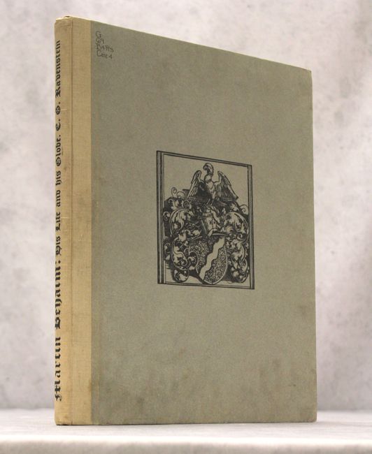
Auction 158, Lot 452
Subject: References
Philip, George
Martin Behaim - His Life and His Globe, 1908
Size: 12.6 x 15.5 inches (32 x 39.4 cm)
Estimate: $475 - $600
Sold for: $350
Closed on 6/22/2016
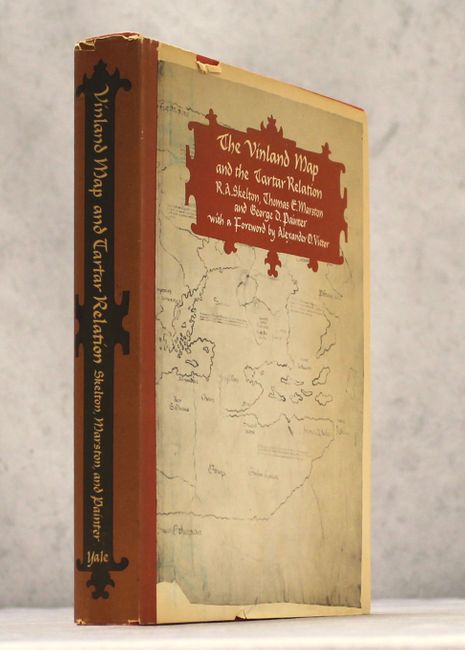
Auction 158, Lot 453
Subject: References
Skelton, Marston and Painter
The Vinland Map and the Tartar Relation, 1965
Size: 9.4 x 11.8 inches (23.9 x 30 cm)
Estimate: $25 - $40
NO RESERVE
Sold for: $26
Closed on 6/22/2016
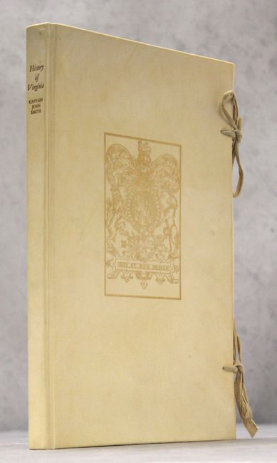
Auction 158, Lot 454
Subject: References
Smith, John (Capt.)
[Facsimile] The Generall Historie of Virginia, New-England, and the Summer Isles with the Names of the Adventurers, Planters, and Governours..., 1966
Size: 9.6 x 13.9 inches (24.4 x 35.3 cm)
Estimate: $120 - $150
Sold for: $180
Closed on 6/22/2016
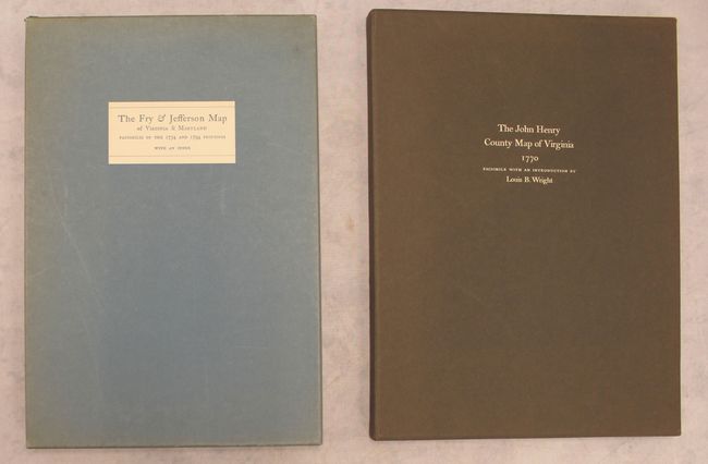
Auction 158, Lot 455
Subject: References
[Lot of 2] The Fry & Jefferson Map of Virginia and Maryland - Facsimiles of the 1754 and 1794 Printings with an Index [and] The John Henry County Map of Virginia 1770 - A Facsimile of the Copy in the Library of Congress, 1966-77
Size: See Description
Estimate: $350 - $425
Sold for: $375
Closed on 6/22/2016
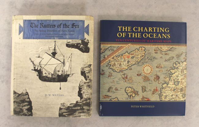
Auction 158, Lot 456
Subject: References
[Lot of 2] The Rutters of the Sea - The Sailing Directions of Pierre Garcie... [and] The Charting of the Oceans - Ten Centuries of Maritime Maps, 1967-96
Size: See Description
Estimate: $70 - $90
NO RESERVE
Sold for: $25
Closed on 6/22/2016
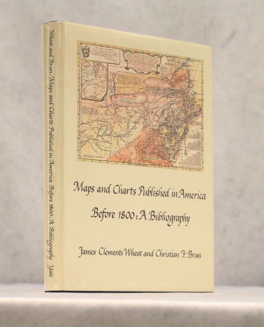
Auction 158, Lot 457
Subject: References
Wheat and Brun
Maps and Charts Published in America Before 1800 - A Bibliography, 1969
Size: 7.7 x 10.3 inches (19.6 x 26.2 cm)
Estimate: $100 - $130
Sold for: $140
Closed on 6/22/2016
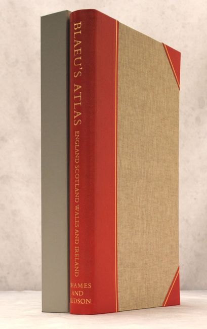
Auction 158, Lot 458
Subject: References
Blaeu, (Family)
[Facsimile] Blaeu's Atlas of England Scotland Wales and Ireland..., 1970
Size: 13.4 x 21.7 inches (34 x 55.1 cm)
Estimate: $550 - $700
Unsold
Closed on 6/22/2016
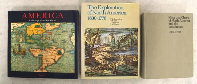
Auction 158, Lot 459
Subject: References
[Lot of 3] America - Early Maps of the New World [and] The Exploration of North America 1630-1776 [and] Maps and Charts of North America and the West Indies 1750-1789 - A Guide to the Collections in the Library of Congress, 1974-92
Size: See Description
Estimate: $190 - $220
Sold for: $140
Closed on 6/22/2016
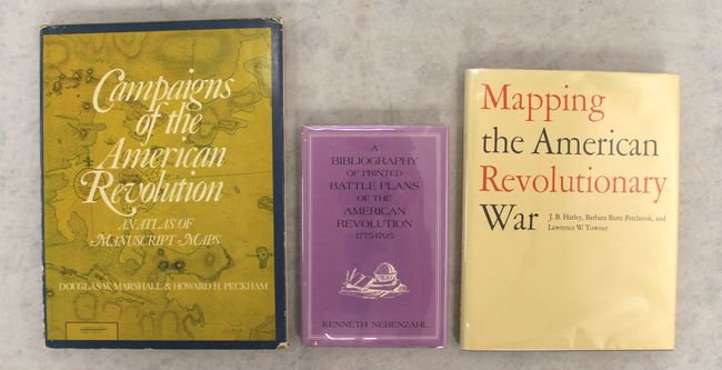
Auction 158, Lot 460
Subject: References
[Lot of 3] Campaigns of the American Revolution - An Atlas of Manuscript Maps [and] A Bibliography of Printed Battle Plans of the American Revolution 1775-1795 [and] Mapping the American Revolutionary War, 1975-78
Size: See Description
Estimate: $140 - $170
Sold for: $100
Closed on 6/22/2016
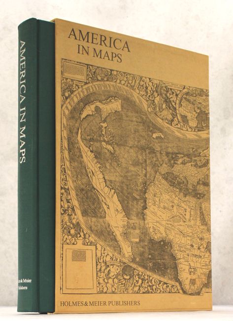
Auction 158, Lot 461
Subject: References
America in Maps - Dating from 1500 to 1856, 1976
Size: 14.5 x 20.8 inches (36.8 x 52.8 cm)
Estimate: $325 - $400
Sold for: $325
Closed on 6/22/2016
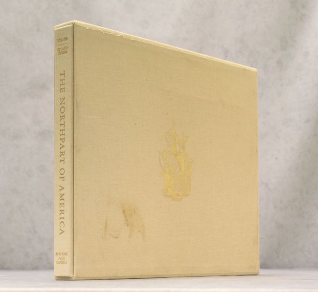
Auction 158, Lot 462
Subject: References
Verner & Stuart-Stubbs
The Northpart of America, 1979
Size: 16.3 x 14.1 inches (41.4 x 35.8 cm)
Estimate: $160 - $190
Sold for: $120
Closed on 6/22/2016
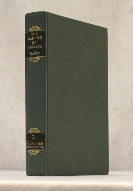
Auction 158, Lot 463
Subject: References
Tooley, R. V.
The Mapping of America, 1980
Size: 7.5 x 10 inches (19.1 x 25.4 cm)
Estimate: $140 - $170
Sold for: $100
Closed on 6/22/2016
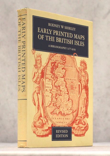
Auction 158, Lot 464
Subject: References
Shirley, Rodney W.
Early Printed Maps of the British Isles - A Bibliography 1477-1650, 1980
Size: 7.6 x 10 inches (19.3 x 25.4 cm)
Estimate: $120 - $150
Sold for: $90
Closed on 6/22/2016
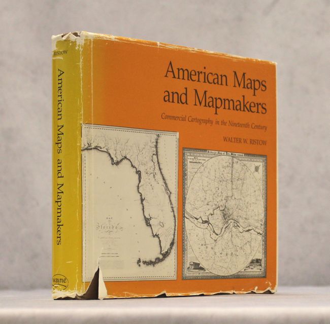
Auction 158, Lot 465
Subject: References
Ristow, Walter W.
American Maps and Mapmakers - Commercial Cartography in the Nineteenth Century, 1985
Size: 10.3 x 8.9 inches (26.2 x 22.6 cm)
Estimate: $140 - $170
Sold for: $110
Closed on 6/22/2016
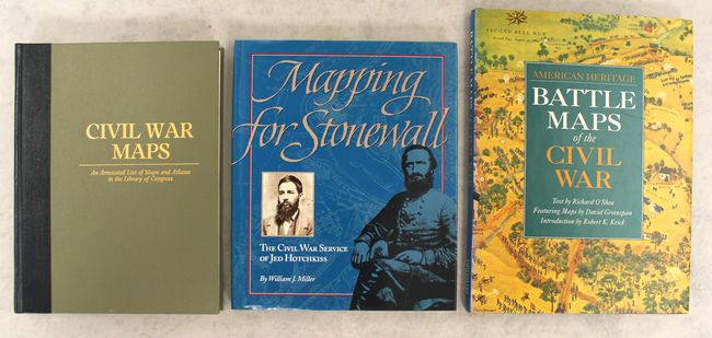
Auction 158, Lot 466
Subject: References
[Lot of 3] Civil War Maps - An Annotated List of Maps and Atlases in the Library of Congress [and] Mapping for Stonewall - The Civil War Service of Jed Hotchkiss [and] American Heritage - Battle Maps of the Civil War, 1989-93
Size: See Description
Estimate: $50 - $70
NO RESERVE
Sold for: $41
Closed on 6/22/2016
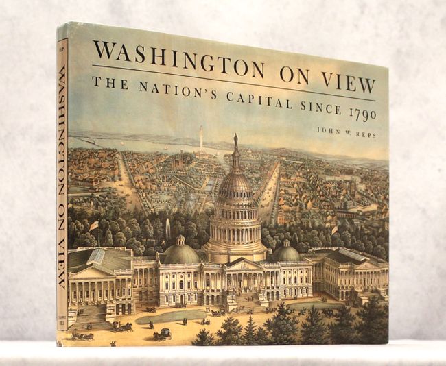
Auction 158, Lot 467
Subject: References
Reps, John W.
Washington on View - The Nation's Capital Since 1790, 1991
Size: 15.3 x 11.7 inches (38.9 x 29.7 cm)
Estimate: $40 - $60
NO RESERVE
Sold for: $24
Closed on 6/22/2016

Auction 158, Lot 468
Subject: References
[Lot of 2] Virginia Cartography - A Bibliographical Description [and] Virginia - Mapping the Old Dominion State Through History - Rare and Unusual Maps from the Library of Congress, 1995-2010
Size: See Description
Estimate: $60 - $80
NO RESERVE
Sold for: $26
Closed on 6/22/2016
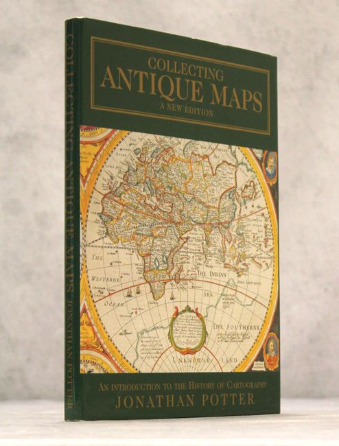
Auction 158, Lot 469
Subject: References
Potter, Jonathan
Collecting Antique Maps - An Introduction to the History of Cartography, 1999
Size: 8.9 x 12.1 inches (22.6 x 30.7 cm)
Estimate: $25 - $40
NO RESERVE
Sold for: $20
Closed on 6/22/2016
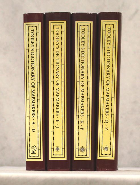
Auction 158, Lot 470
Subject: References
Tooley, R. V.
[4 Volumes] Tooley's Dictionary of Mapmakers - Revised Edition, 1999-2004
Size: 7.1 x 10.3 inches (18 x 26.2 cm)
Estimate: $400 - $500
Sold for: $400
Closed on 6/22/2016
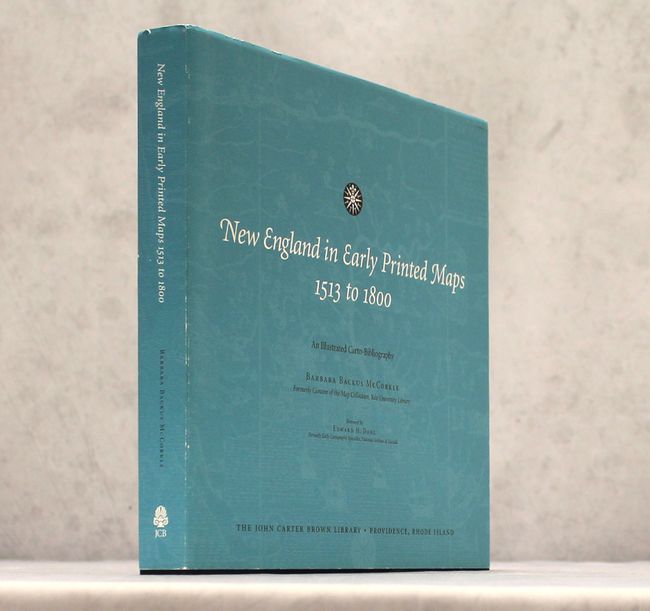
Auction 158, Lot 471
Subject: References
McCorkle, Barbara B.
New England in Early Printed Maps 1513 to 1800 - An Illustrated Carto-Bibliography, 2001
Size: 12.4 x 11.8 inches (31.5 x 30 cm)
Estimate: $200 - $240
Sold for: $160
Closed on 6/22/2016

Auction 158, Lot 472
Subject: References
Shirley, Rodney W.
[2 Volumes] Maps in the Atlases of the British Library - A Descriptive Catalogue c. AD 850-1800, 2004
Size: 8.8 x 11.2 inches (22.4 x 28.4 cm)
Estimate: $350 - $450
One of the Most Indispensable Reference Works in our Library
Sold for: $375
Closed on 6/22/2016
33 lots