Subject: History Books
Period: 1754-55 (published)
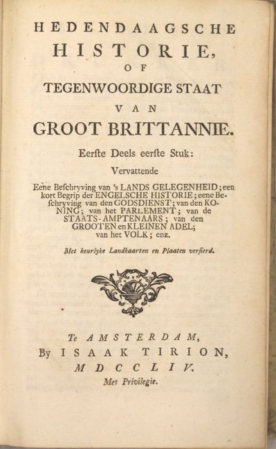
Publication:
Color: Black & White
Size:
5.1 x 8.2 inches
13 x 20.8 cm
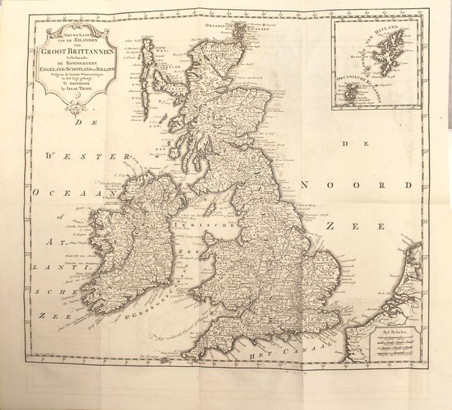
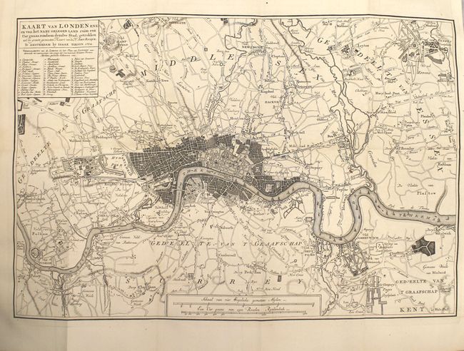
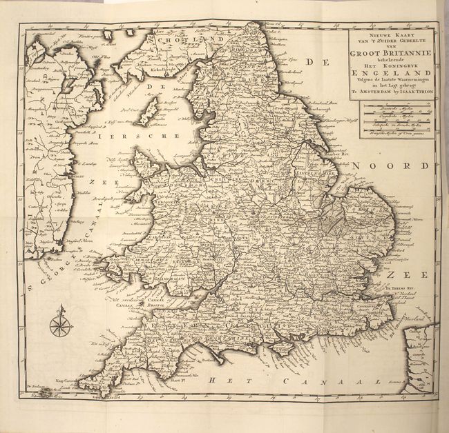
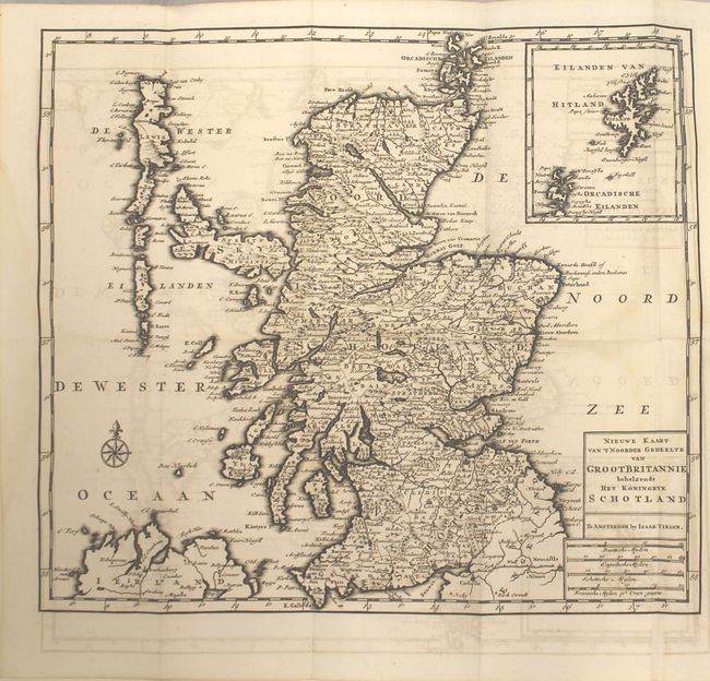
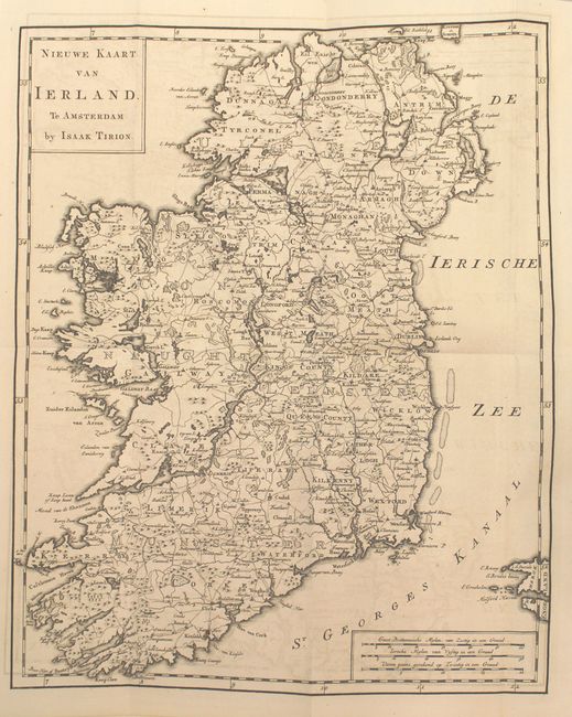
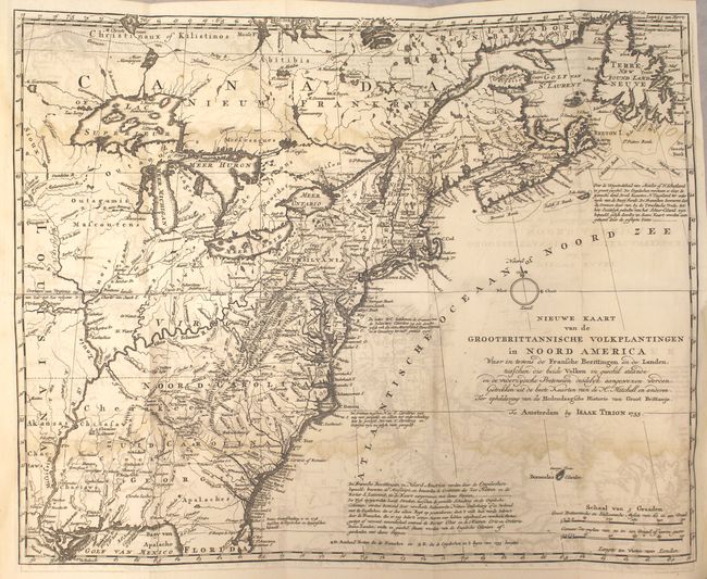
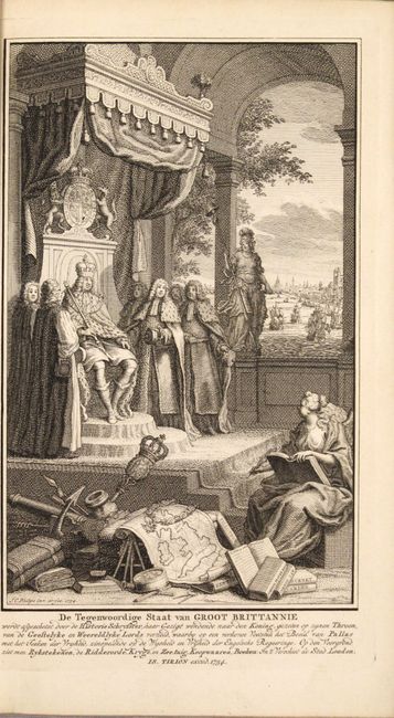
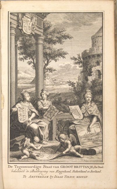
The Dutch Hedendaagsche Historie was originally based on Thomas Salmon's Modern History. The Dutch work was begun in 1729 and was not completed until 1803, comprising of 43 volumes. Tirion's 2-volume set on Great Britain is complete and includes 6 maps, all folding. Both volumes feature a unique title page representing the monarchy, travel and exploration. The maps included are:
A. Nieuwe Kaart van de Eilanden van Groot Brittannien Behelzende de Koningryken Engeland, Schotland en Ierland...
B. Kaart van London...
C. Nieuwe Kaart van 't Zuider Gedeelte van Groot Britannie Behelzende het Koningryk Engeland...
D. Nieuwe Kaart van 't NoorderGedeelte van Groot Britannie Behelzende het Koningryk Schotland...
E. Nieuwe Kaart van Ierland
F. Nieuwe Kaart van de Grootbrittannische Volkplantingen in Noord America... This is a handsome illustration of the British and French possessions at the beginning of the French and Indian War. It is a very detailed map of the disputed region between the Mississippi River and the Appalachian and Allegheny Mountains, which is graphically depicted by the original color and delineated by a dashed line for the French claims and a dotted line for the British claims. The frontier forts of both nations are located, as are colonial settlements and Indian villages. The imaginary islands in Lake Superior are evident, including I. Philippeaux, Ponchartrain, and St. Anne. The map was based on information from John Mitchell's great map of North America, which was published the same year.
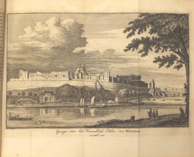
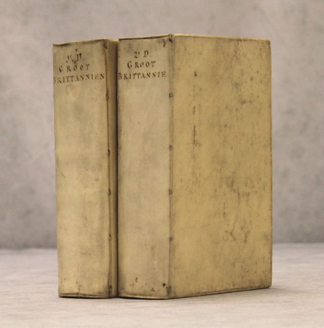
Other engravings include a full-page portrait of King George II, 6 views of London on 5 folding sheets, and a folding view of Windsor Castle. Octavo, contemporary vellum with manuscript title on spine.
References:
Condition: B+
The maps of Great Britain have crisp impressions with minor offsetting (more pronounced on the maps of Scotland and Ireland). The map of the Eastern United States has moderate offsetting and light damp stains in the image (B condition). Contents are clean, bright and tight, with the exception of a faint damp stain impacting the last 100 pages of the second volume. Covers are lightly soiled.