Advanced Search
Showing No Reserve Lots(remove filter)
Filtered by Category:Books, Atlases, Travel Guides, Geography & Reference Books(Show All Categories)
Showing results for:Advanced search criteria below
Title
Word or word-fragment will be found anywhere within title, e.g. terr finds Terra, Terra Incognita, Territory, etc.
Geography
Word or word-fragment will be found anywhere within geography/subject, e.g. africa finds South Africa, African, etc.
Creator
Word or word-fragment will be found anywhere within creator's name(s).
Description
Word or word-fragment will be found anywhere within the lot description. Search will return exact matches only.
Period
Enter full year or year-fragment. 17 finds all items from the 1700s, 186 finds all from the 1860s.
Low Estimate Range
Find lots with low estimate equal to range selected.
Condition
Select condition to include in search.
Auction Date Range
Limits lots to a specific year or range of years (valid entries are 1999-present).
Catalog Archive
86 lots
Page 1 of 2
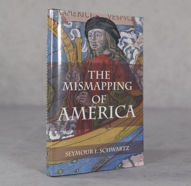
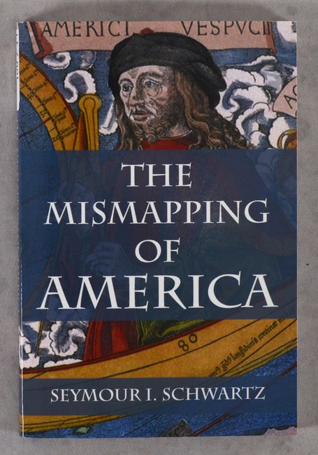
Auction 208, Lot 702
Subject: References, United States
The Mismapping of America, 2003
Size: 6.3 x 9.3 inches (16 x 23.6 cm)
Estimate: $25 - $45
NO RESERVE
Sold for: $110
Closed on 4/22/2026
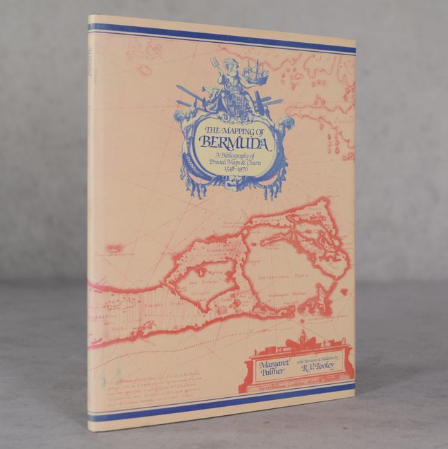
Auction 208, Lot 704
Subject: References, Bermuda
Palmer, Margaret
The Mapping of Bermuda - A Bibliography of Printed Maps & Charts 1548-1970, 1983
Size: 8.2 x 10.8 inches (20.8 x 27.4 cm)
Estimate: $60 - $80
NO RESERVE
Sold for: $60
Closed on 4/22/2026
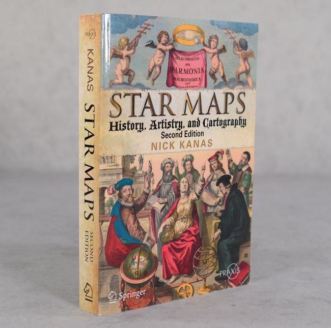
Auction 207, Lot 748
Subject: References, Celestial Maps
Star Maps - History, Artistry, and Cartography (Second Edition), 2012
Size: 6.8 x 9.6 inches (17.3 x 24.4 cm)
Estimate: $70 - $90
NO RESERVE
Sold for: $31
Closed on 2/11/2026
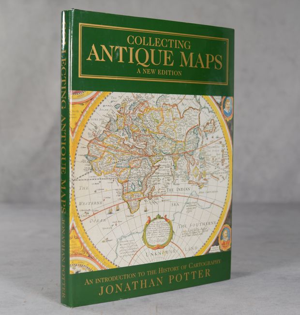
Auction 205, Lot 686
Subject: References
Potter, Jonathan
Collecting Antique Maps - An Introduction to the History of Cartography, 1999
Size: 8.8 x 12.1 inches (22.4 x 30.7 cm)
Estimate: $25 - $40
NO RESERVE
Sold for: $16
Closed on 9/10/2025
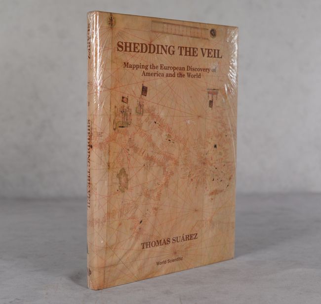
Auction 202, Lot 774
Subject: References
Suarez, Thomas
Shedding the Veil - Mapping the European Discovery of America and the World, 1992
Size: 8.8 x 11.8 inches (22.4 x 30 cm)
Estimate: $50 - $70
NO RESERVE
Sold for: $36
Closed on 2/12/2025
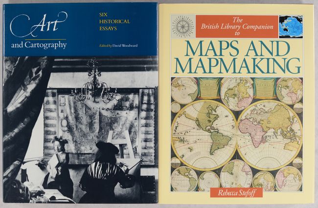
Auction 199, Lot 750
Subject: References
[Lot of 2] Art and Cartography - Six Historical Essays [and] The British Library Companion to Maps and Mapmaking, 1987-95
Size: See Description
Estimate: $70 - $90
NO RESERVE
Sold for: $65
Closed on 9/11/2024
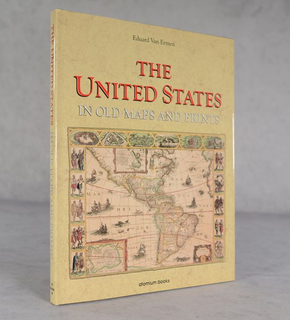
Auction 198, Lot 743
Subject: References, United States
Ermen, Eduard, van
The United States in Old Maps and Prints, 1990
Size: 12 x 15.2 inches (30.5 x 38.6 cm)
Estimate: $25 - $40
NO RESERVE
Sold for: $6
Closed on 6/19/2024
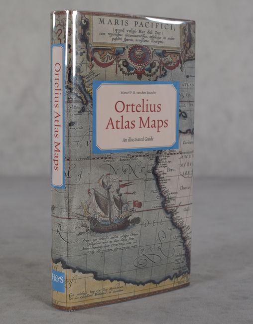
Auction 196, Lot 779
Subject: References, Ortelius
Ortelius Atlas Maps - An Illustrated Guide, 1996
Size: 5.5 x 9.8 inches (14 x 24.9 cm)
Estimate: $80 - $95
NO RESERVE
Sold for: $110
Closed on 2/7/2024
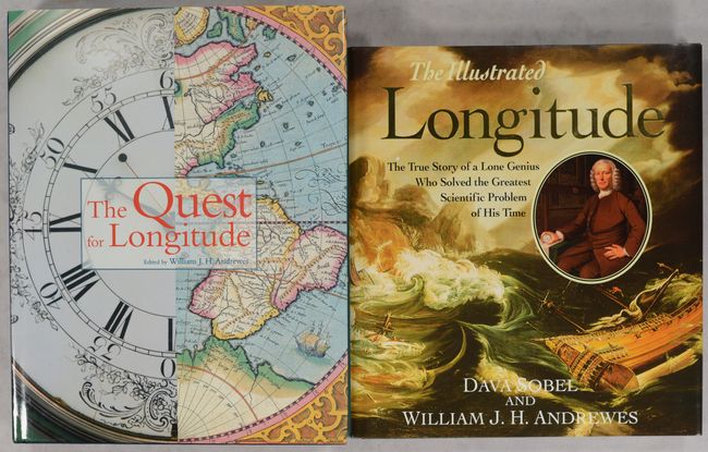
Auction 196, Lot 781
Subject: References, Longitudes
[Lot of 2] The Quest for Longitude [and] The Illustrated Longitude, 1996-98
Size: See Description
Estimate: $40 - $60
NO RESERVE
Sold for: $85
Closed on 2/7/2024
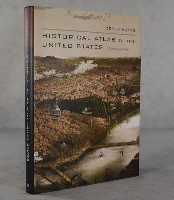
Auction 196, Lot 786
Subject: References, United States
Historical Atlas of the United States with Original Maps, 2006
Size: 10.3 x 13.9 inches (26.2 x 35.3 cm)
Estimate: $20 - $30
NO RESERVE
Sold for: $38
Closed on 2/7/2024
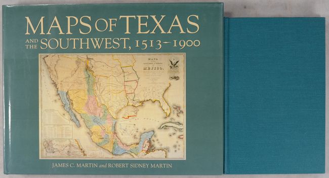
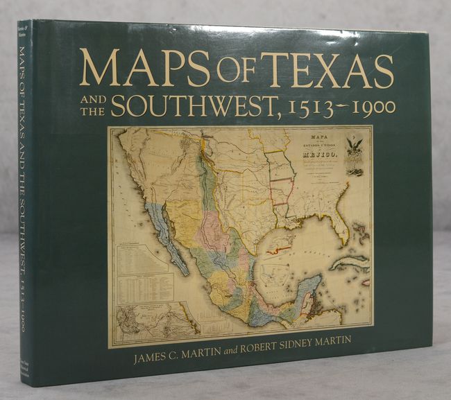
Auction 196, Lot 788
Subject: References, Texas
[Lot of 2] Maps of Texas 1527-1900 - The Map Collection of the Texas State Archives [and] Maps of Texas and the Southwest, 1513-1900, 1997-99
Size: See Description
Estimate: $90 - $120
NO RESERVE
Sold for: $180
Closed on 2/7/2024
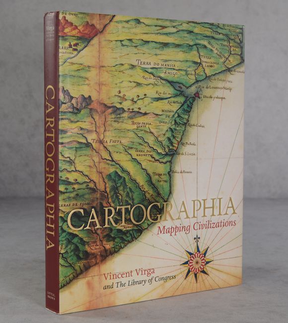
Auction 195, Lot 848
Subject: References
Cartographia - Mapping Civilizations, 2007
Size: 10.4 x 13.3 inches (26.4 x 33.8 cm)
Estimate: $35 - $55
NO RESERVE
Sold for: $65
Closed on 11/15/2023
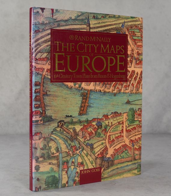
Auction 194, Lot 745
Subject: References, Braun & Hogenberg
Goss, John
The City Maps of Europe - 16th Century Town Plans from Braun & Hogenberg, 1992
Size: 11.4 x 15.3 inches (29 x 38.9 cm)
Estimate: $50 - $70
NO RESERVE
Sold for: $55
Closed on 9/13/2023

Auction 194, Lot 754
Subject: References, Western United States
After Lewis & Clark - The Forces of Change, 1806-1871, 2006
Size: 9.4 x 12.4 inches (23.9 x 31.5 cm)
Estimate: $20 - $30
NO RESERVE
Sold for: $46
Closed on 9/13/2023
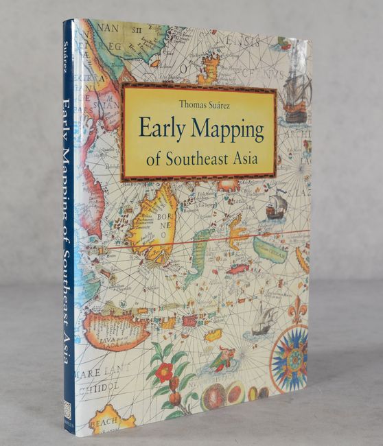
Auction 194, Lot 758
Subject: References, Southeast Asia
Suarez, Thomas
Early Mapping of Southeast Asia, 1999
Size: 9.4 x 12.4 inches (23.9 x 31.5 cm)
Estimate: $80 - $100
NO RESERVE
Sold for: $41
Closed on 9/13/2023
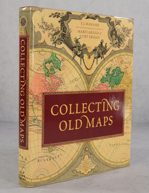
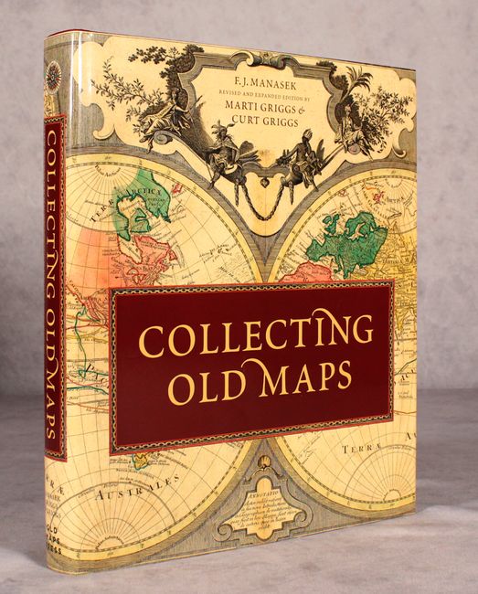
Auction 191, Lot 842
Subject: References
Manasek, F.J.
Collecting Old Maps, 2015
Size: 9.8 x 11.3 inches (24.9 x 28.7 cm)
Estimate: $50 - $70
NO RESERVE
Sold for: $75
Closed on 2/8/2023
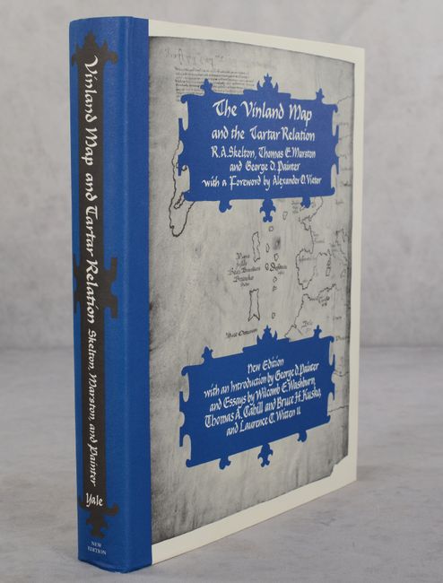
Auction 191, Lot 844
Subject: References, Vinland Map
Skelton, Marston and Painter
The Vinland Map and the Tartar Relation, 1995
Size: 9.3 x 11.8 inches (23.6 x 30 cm)
Estimate: $25 - $35
NO RESERVE
Sold for: $28
Closed on 2/8/2023
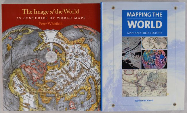
Auction 191, Lot 849
Subject: References, World
[Lot of 2] The Image of the World - 20 Centuries of World Maps [and] Mapping the World - Maps and Their History , 2002-10
Size: See Description
Estimate: $25 - $40
NO RESERVE
Sold for: $39
Closed on 2/8/2023
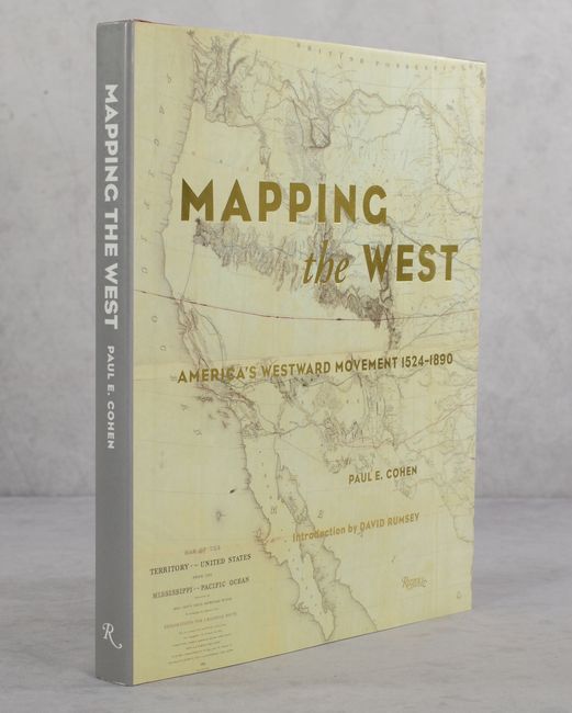
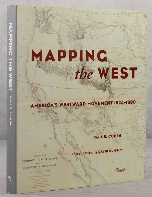
Auction 191, Lot 855
Subject: References, Western United States
Mapping the West - America's Westward Movement 1524-1890, 2002
Size: 9.4 x 10.9 inches (23.9 x 27.7 cm)
Estimate: $50 - $70
NO RESERVE
Sold for: $300
Closed on 2/8/2023
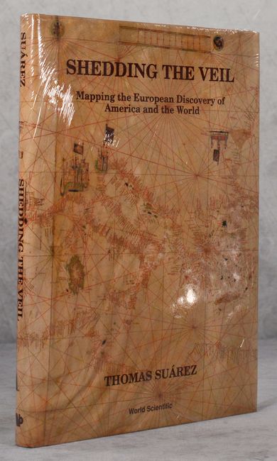
Auction 190, Lot 740
Subject: References
Suarez, Thomas
Shedding the Veil - Mapping the European Discovery of America and the World, 1992
Size: 8.8 x 11.8 inches (22.4 x 30 cm)
Estimate: $70 - $90
NO RESERVE
Sold for: $12
Closed on 11/16/2022
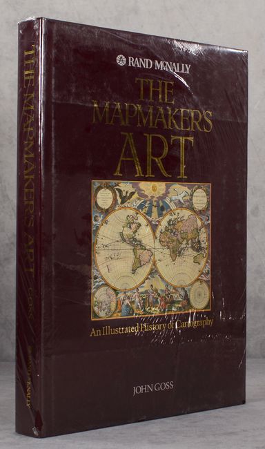
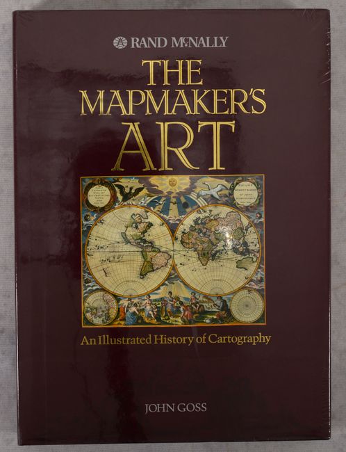
Auction 190, Lot 741
Subject: References
Goss, John
The Mapmaker's Art - An Illustrated History of Cartography, 1993
Size: 11 x 15 inches (27.9 x 38.1 cm)
Estimate: $100 - $130
NO RESERVE
Sold for: $55
Closed on 11/16/2022
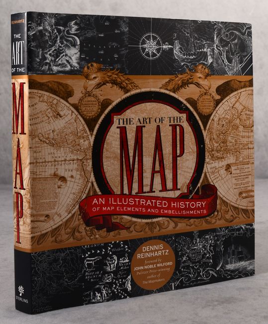
Auction 190, Lot 743
Subject: References
The Art of the Map - An Illustrated History of Map Elements and Embellishments, 2012
Size: 9.5 x 10.3 inches (24.1 x 26.2 cm)
Estimate: $20 - $40
NO RESERVE
Sold for: $31
Closed on 11/16/2022
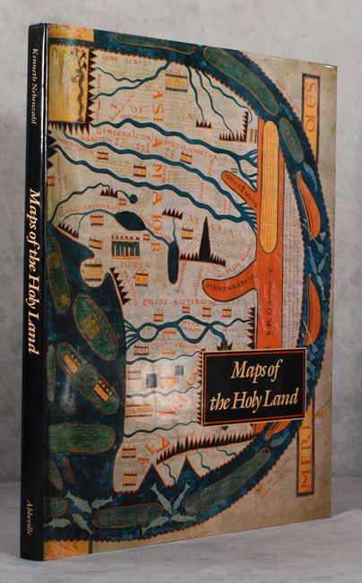
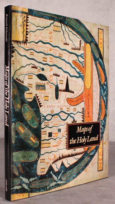
Auction 190, Lot 756
Subject: References, Holy Land
Nebenzahl, Kenneth
Maps of the Holy Land - Images of Terra Sancta Through Two Millennia, 1986
Size: 12.2 x 15.3 inches (31 x 38.9 cm)
Estimate: $90 - $110
NO RESERVE
Sold for: $16
Closed on 11/16/2022
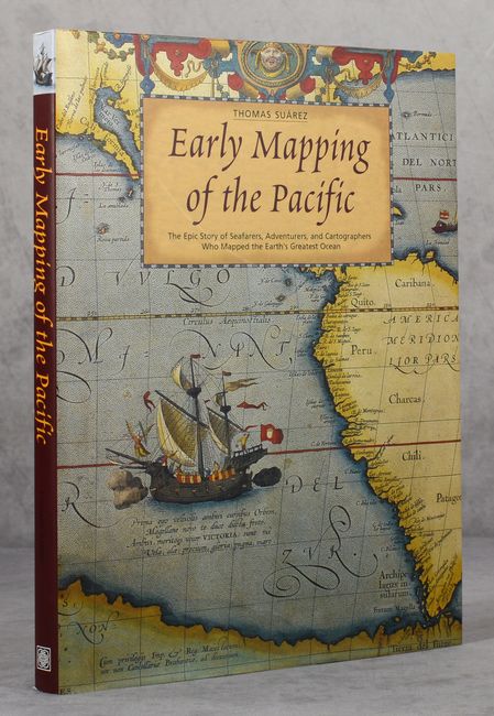
Auction 190, Lot 757
Subject: References, Pacific Ocean
Suarez, Thomas
Early Mapping of the Pacific - The Epic Story of Seafarers, Adventurers, and Cartographers Who Mapped the Earth’s Greatest Ocean, 2004
Size: 9.4 x 12.3 inches (23.9 x 31.2 cm)
Estimate: $80 - $100
NO RESERVE
Sold for: $36
Closed on 11/16/2022
Auction 189, Lot 753
Subject: References
Goss, John
The Mapmaker's Art - An Illustrated History of Cartography, 1993
Size: 11 x 15 inches (27.9 x 38.1 cm)
Estimate: $90 - $120
NO RESERVE
Sold for: $160
Closed on 9/14/2022
Auction 189, Lot 762
Subject: References, United States
The Mismapping of America, 2008
Size: 6 x 9 inches (15.2 x 22.9 cm)
Estimate: $15 - $30
NO RESERVE
Sold for: $120
Closed on 9/14/2022
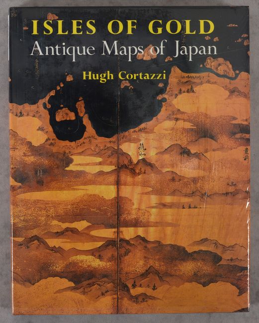
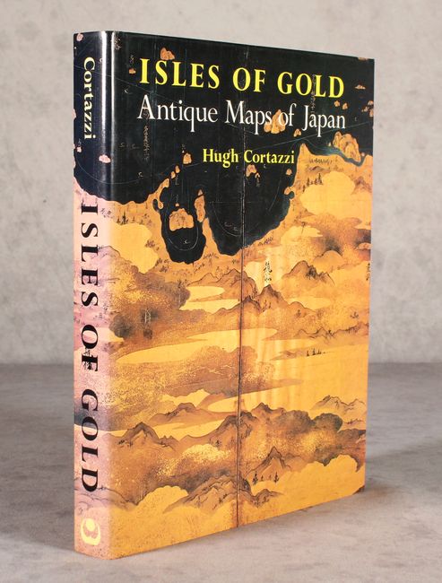
Auction 189, Lot 769
Subject: References, Japan
Cortazzi, Hugh
Isles of Gold - Antique Maps of Japan, 1992
Size: 9.4 x 11.9 inches (23.9 x 30.2 cm)
Estimate: $50 - $70
NO RESERVE
Sold for: $32
Closed on 9/14/2022
Auction 188, Lot 814
Subject: References, Western United States
Mapping the West - America's Westward Movement 1524-1890, 2002
Size: 9.4 x 10.9 inches (23.9 x 27.7 cm)
Estimate: $50 - $70
NO RESERVE
Sold for: $55
Closed on 6/22/2022
Auction 188, Lot 816
Subject: References, Texas
Maps of Texas and the Southwest, 1513-1900, 1999
Size: 12.3 x 9.3 inches (31.2 x 23.6 cm)
Estimate: $70 - $90
NO RESERVE
Sold for: $60
Closed on 6/22/2022
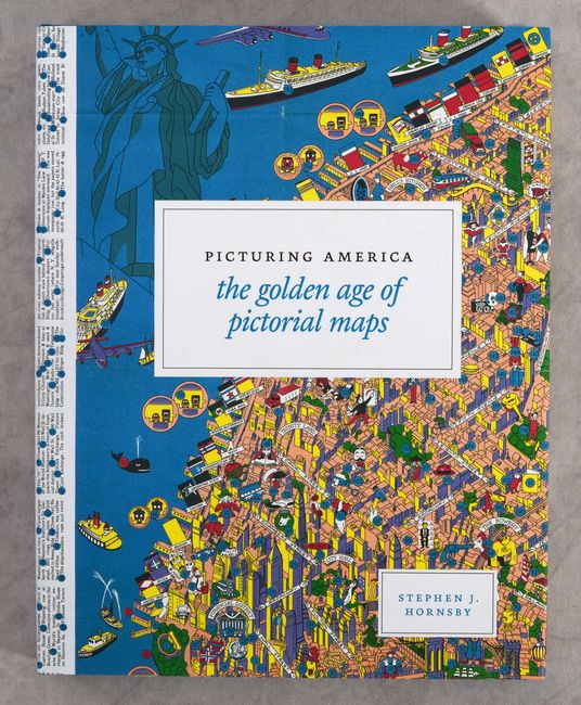
Auction 188, Lot 820
Subject: References, Pictorial Maps
Picturing America - The Golden Age of Pictorial Maps, 2017
Size: 9 x 11.3 inches (22.9 x 28.7 cm)
Estimate: $40 - $50
NO RESERVE
Sold for: $24
Closed on 6/22/2022
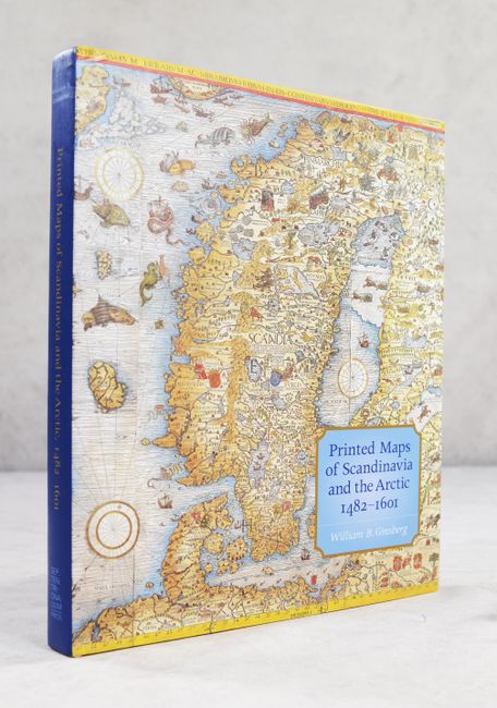
Auction 186, Lot 836
Subject: References, Scandinavia
Printed Maps of Scandinavia and the Arctic, 1482-1601, 2006
Size: 9.9 x 11.9 inches (25.1 x 30.2 cm)
Estimate: $120 - $150
NO RESERVE
Sold for: $75
Closed on 2/9/2022
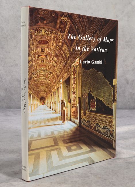
Auction 186, Lot 837
Subject: References, Italy
The Gallery of Maps in the Vatican, 1997
Size: 9.8 x 12.5 inches (24.9 x 31.8 cm)
Estimate: $90 - $120
NO RESERVE
Sold for: $170
Closed on 2/9/2022
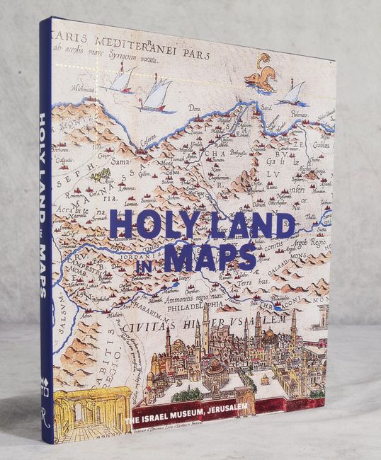
Auction 186, Lot 838
Subject: References, Holy Land
Holy Land in Maps, 2001
Size: 9.4 x 10.9 inches (23.9 x 27.7 cm)
Estimate: $30 - $50
NO RESERVE
Sold for: $36
Closed on 2/9/2022
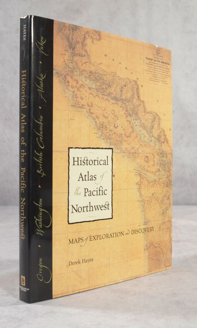
Auction 185, Lot 798
Subject: References, Pacific Northwest
Historical Atlas of the Pacific Northwest - Maps of Exploration and Discovery..., 1999
Size: 9.8 x 13 inches (24.9 x 33 cm)
Estimate: $25 - $45
NO RESERVE
Sold for: $41
Closed on 11/17/2021
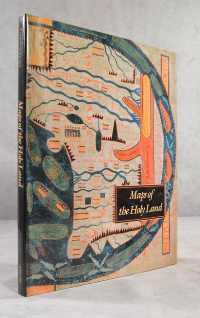
Auction 185, Lot 800
Subject: References, Holy Land
Nebenzahl, Kenneth
Maps of the Holy Land - Images of Terra Sancta Through Two Millenia, 1986
Size: 12.1 x 15.4 inches (30.7 x 39.1 cm)
Estimate: $90 - $110
NO RESERVE
Sold for: $65
Closed on 11/17/2021
Auction 185, Lot 802
Subject: References, Japan
Walter, Lutz
Japan - A Cartographic Vision - European Printed Maps from the Early 16th to the 19th Century, 1994
Size: 9.5 x 12.3 inches (24.1 x 31.2 cm)
Estimate: $75 - $95
NO RESERVE
Sold for: $80
Closed on 11/17/2021
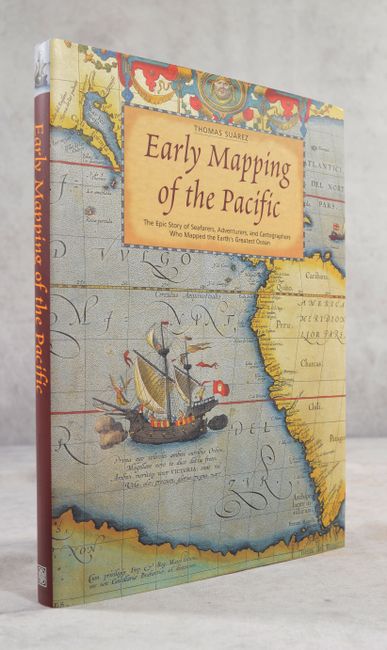
Auction 185, Lot 804
Subject: References, Pacific Ocean
Suarez, Thomas
Early Mapping of the Pacific - The Epic Story of Seafarers, Adventurers, and Cartographers Who Mapped the Earth's Greatest Ocean, 2004
Size: 9.4 x 12.3 inches (23.9 x 31.2 cm)
Estimate: $80 - $100
NO RESERVE
Sold for: $41
Closed on 11/17/2021
Auction 181, Lot 770
Subject: References, Holy Land
Nebenzahl, Kenneth
Maps of the Holy Land - Images of Terra Sancta Through Two Millennia, 1986
Size: 12.1 x 15.3 inches (30.7 x 38.9 cm)
Estimate: $70 - $90
NO RESERVE
Sold for: $95
Closed on 2/10/2021
Auction 180, Lot 828
Subject: References, Japan
Cortazzi, Hugh
Isles of Gold - Antique Maps of Japan, 1992
Size: 9.3 x 12 inches (23.6 x 30.5 cm)
Estimate: $50 - $70
NO RESERVE
Sold for: $33
Closed on 11/18/2020
Auction 180, Lot 836
Subject: References
Manasek, F.J.
Collecting Old Maps, 2015
Size: 9.6 x 11.3 inches (24.4 x 28.7 cm)
Estimate: $50 - $70
NO RESERVE
Sold for: $55
Closed on 11/18/2020
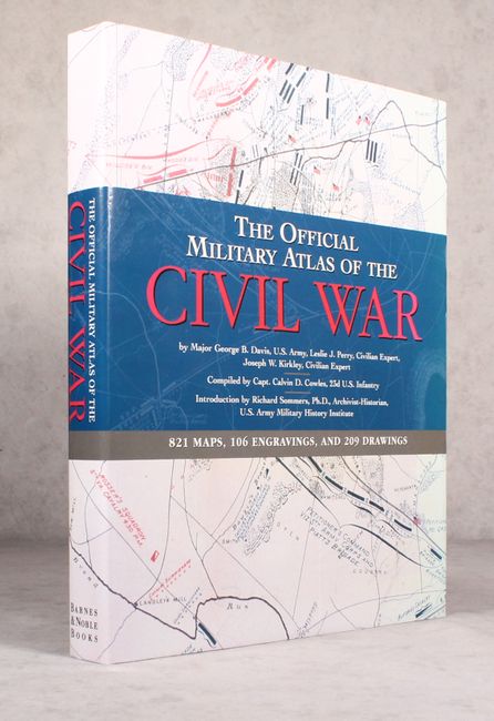
Auction 173, Lot 482
Subject: References, Civil War
The Official Military Atlas of the Civil War, 2003
Size: 13.4 x 16.6 inches (34 x 42.2 cm)
Estimate: $80 - $100
NO RESERVE
Sold for: $230
Closed on 6/5/2019
Auction 173, Lot 484
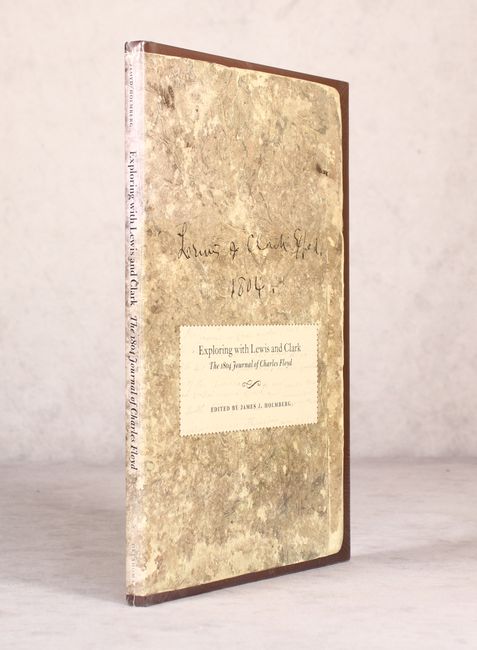
Subject: References, Exploration and Surveys
Exploring with Lewis and Clark - The 1804 Journal of Charles Floyd, 2005
Size: 7.8 x 12.1 inches (19.8 x 30.7 cm)
Estimate: $40 - $55
NO RESERVE
Sold for: $70
Closed on 6/5/2019
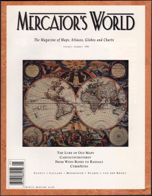
Auction 171, Lot 793
Subject: References
Mercator's World - The Magazine of Maps, Atlases, Globes and Charts Volume I Number I, 1996
Size: 8.4 x 10.9 inches (21.3 x 27.7 cm)
Estimate: $20 - $40
NO RESERVE
Sold for: $23
Closed on 2/6/2019
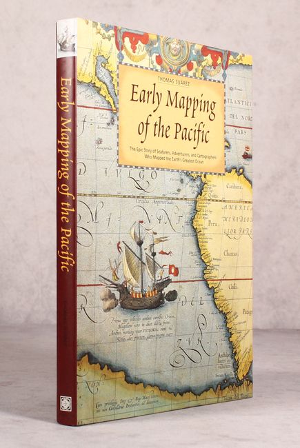
Auction 171, Lot 795
Subject: References, Pacific Ocean
Suarez, Thomas
Early Mapping of the Pacific - The Epic Story of Seafarers, Adventurers, and Cartographers Who Mapped the Earth's Greatest Ocean, 2004
Size: 9.4 x 12.3 inches (23.9 x 31.2 cm)
Estimate: $80 - $100
NO RESERVE
Sold for: $35
Closed on 2/6/2019
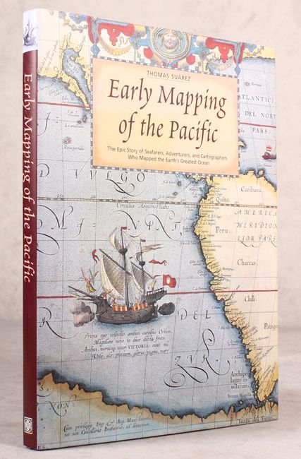
Auction 170, Lot 745
Subject: References
Suarez, Thomas
Early Mapping of the Pacific - The Epic Story of Seafarers, Adventurers, and Cartographers Who Mapped the Earth's Greatest Ocean, 2004
Size: 9.4 x 12.3 inches (23.9 x 31.2 cm)
Estimate: $80 - $100
NO RESERVE
Sold for: $85
Closed on 11/14/2018
Auction 168, Lot 742
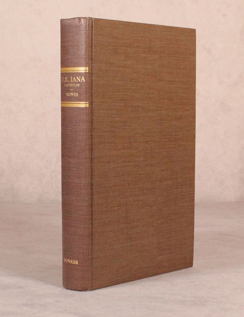
Subject: References
U.S. Iana (1650-1950) - A Selective Bibliography in Which Are Described 11,620 Uncommon and Significant Books Relating to the Continental Portion of the United States, 1988
Size: 6.9 x 10.3 inches (17.5 x 26.2 cm)
Estimate: $45 - $65
NO RESERVE
Sold for: $31
Closed on 6/6/2018
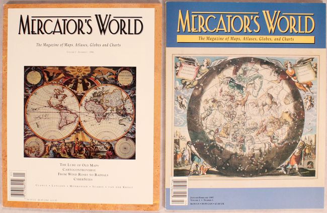
Auction 167, Lot 461
Subject: References
[Lot of 2] Mercator's World The Magazine of Maps, Atlases, Globes and Charts, 1996-97
Size: 8.4 x 10.9 inches (21.3 x 27.7 cm)
Estimate: $15 - $30
NO RESERVE
Sold for: $32
Closed on 3/28/2018
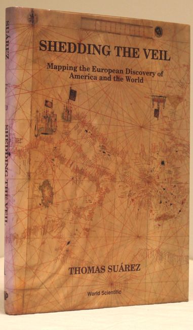
Auction 166, Lot 779
Subject: References
Suarez, Thomas
Shedding the Veil - Mapping the European Discovery of America and the World, 1992
Size: 8.8 x 11.8 inches (22.4 x 30 cm)
Estimate: $90 - $120
NO RESERVE
Sold for: $75
Closed on 2/14/2018
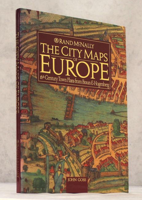
Auction 159, Lot 788
Subject: References
Goss, John
The City Maps of Europe - 16th Century Town Plans from Braun & Hogenberg, 1992
Size: 11.4 x 15.3 inches (29 x 38.9 cm)
Estimate: $50 - $70
NO RESERVE
Sold for: $31
Closed on 9/14/2016
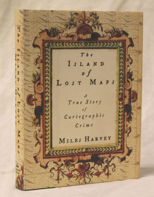
Auction 149, Lot 757
Subject: Miscellaneous Books
The Island of Lost Maps: A True Story of Cartographic Crime, 2000
Size: 5.8 x 7.6 inches (14.7 x 19.3 cm)
Estimate: $10 - $15
NO RESERVE
Sold for: $4
Closed on 5/21/2014
86 lots
Page 1 of 2