Catalog Archive
Auction 186, Lot 836

NO RESERVE

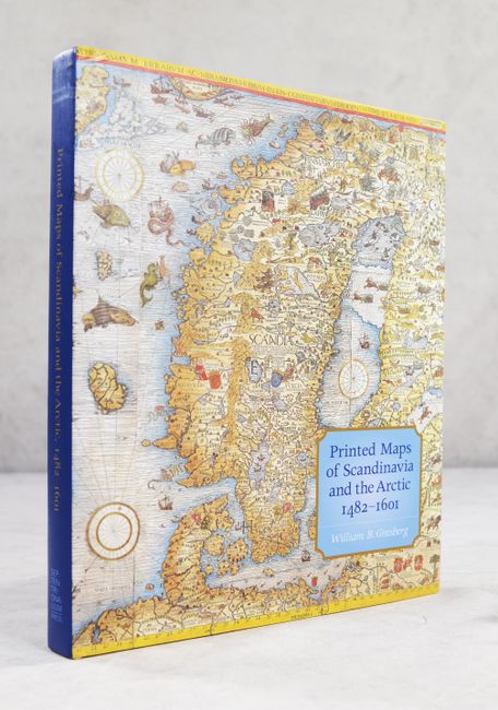
"Printed Maps of Scandinavia and the Arctic, 1482-1601",

Subject: References, Scandinavia

Period: 2006 (published)

Publication:

Color: Printed Color

Size:
9.9 x 11.9 inches
25.1 x 30.2 cm
Download High Resolution Image
(or just click on image to launch the Zoom viewer)

This useful reference by William B. Ginsberg is "the first scholarly cartobibliography of the far north." Its cartobibliography includes 50 maps, spanning from the late 15th century to 1601. The book also includes an introductory essay on the depiction of Scandinavia in early editions of Ptolemy's Geographia, the first English translation of Olaus Magnus' Opera Breve, and helpful appendices and indices. It features more than 180 illustrations, many of them in color. 214 pages. Hardbound in beige cloth with an illustrated dust jacket.

References:

Condition: A+

Like new and signed by author on title page.

Estimate: $120 - $150

Sold for: $75

Closed on 2/9/2022

Archived