Subject: References, Holy Land
Period: 1986 (published)
Publication:
Color: Printed Color
Size:
12.2 x 15.3 inches
31 x 38.9 cm
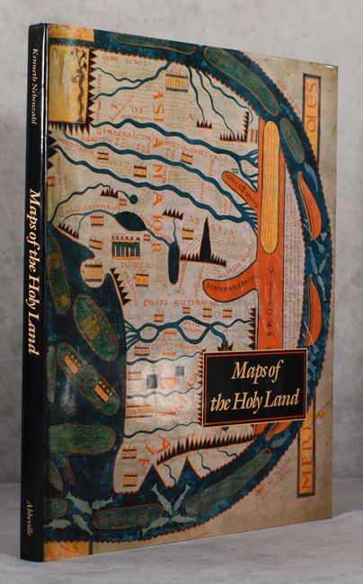
This book includes the most historically significant and beautiful Holy Land maps, including rare treasures of manuscript illumination and masterpieces of early printing. Lavishly illustrated with approximately 80 colored maps, many of which are double-page and triple-page foldouts. The author, a recognized authority on antique maps, presents maps from European, Byzantine, Arabic, and Persian sources, each finely reprinted with useful descriptions. This important contribution, based on many years of research, is a pleasure to read. 164 pages, hardbound in black embossed cloth with dust jacket.
References:
Condition: A+
Contents and binding are like new, with just a touch of shelf wear on the dust jacket.