Subject: References, Holy Land
Period: 2001 (published)
Publication:
Color: Printed Color
Size:
9.4 x 10.9 inches
23.9 x 27.7 cm
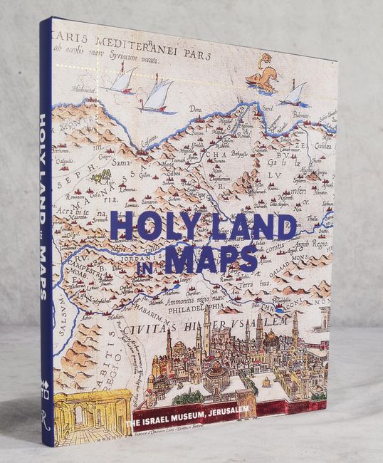
Edited by Ariel Tishby and published by the Israel Museum and Rizzoli International Publications, this interesting volume focuses on the mapping of the Holy Land. The book is divided into sections on world maps, atlases, and globes; maps of the land of Israel; Hebrew maps; Islamic maps; maps of Jerusalem; aerial photography of Palestine; and satellite imagery. Throughout the book are numerous color illustrations. It includes introductory essays by Tishby, Naftali Kadmon, and Rehav Rubin and a foreword by James S. Snyder, Director of the Israel Museum. 168 pp. Hardbound in blue cloth with gilt titles on spine and an illustrated dust jacket.
References:
Condition: A+
Like new.