Filtered by Category:Canada(Show All Categories)
Catalog Archive
9 lots
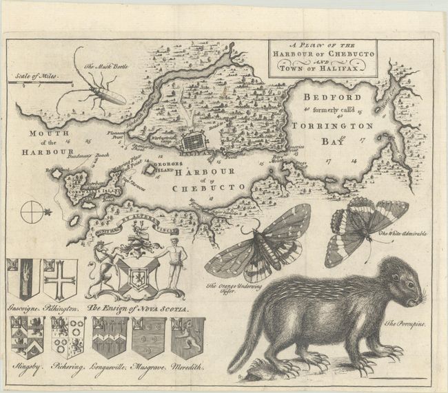
Auction 207, Lot 107
Subject: Halifax, Nova Scotia, Canada
A Plan of the Harbour of Chebucto and Town of Halifax, 1750
Size: 10.6 x 8.8 inches (26.9 x 22.4 cm)
Estimate: $650 - $800
Unsold
Closed on 2/11/2026
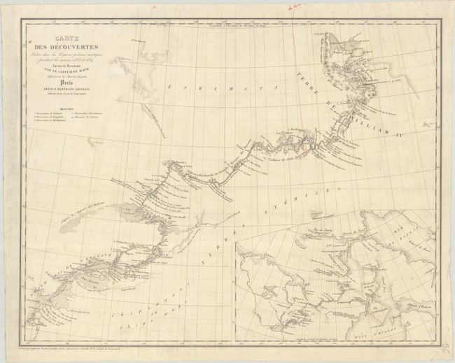
Auction 207, Lot 111
Subject: Northern Canada, Back River
Back, George (Adm. Sir)
Carte des Decouvertes Faites dans les Regions Polaires Arctiques Pendant les Annees 1833 et 1834 Levee et Dessinee par le Capitaine Back..., 1837
Size: 19 x 14.9 inches (48.3 x 37.8 cm)
Estimate: $240 - $300
Scarce Map Showing the Back River Expedition
Unsold
Closed on 2/11/2026
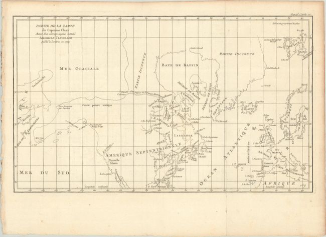
Auction 207, Lot 113
Subject: Colonial United States & Canada, Arctic
Robert de Vaugondy, Didier
Partie de la Carte du Capitaine Cluny Auteur d'un Ouvrage Anglois Intitule American Traveller, 1773
Size: 19.7 x 11.6 inches (50 x 29.5 cm)
Estimate: $95 - $120
Unsold
Closed on 2/11/2026
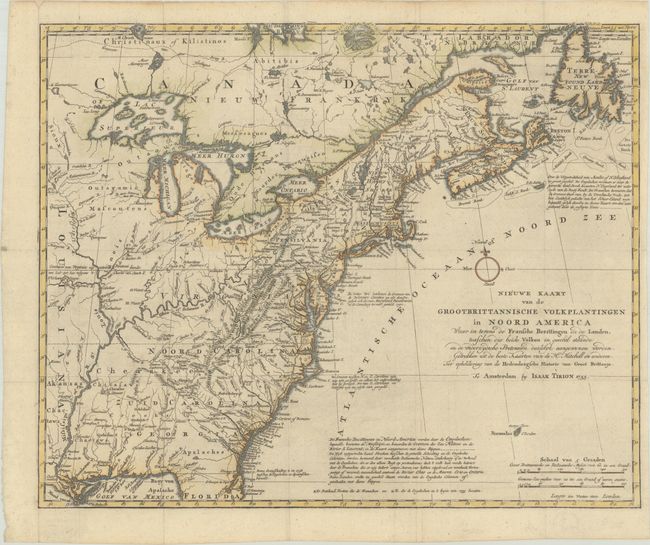
Auction 207, Lot 119
Subject: Colonial Eastern United States & Canada
Tirion, Isaac
Nieuwe Kaart van de Grootbrittannische Volkplantingen in Noord America waar in Tevens de Fransche Bezittingen en de Landen..., 1755
Size: 17.8 x 14.4 inches (45.2 x 36.6 cm)
Estimate: $600 - $750
Unsold
Closed on 2/11/2026
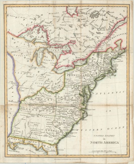
Auction 207, Lot 123
Subject: Eastern United States & Canada, Franklin
Phillips, Richard (Sir)
United States in North America, 1809
Size: 13.1 x 16 inches (33.3 x 40.6 cm)
Estimate: $800 - $950
Features the Short-Lived Franklinia and Morgania
Unsold
Closed on 2/11/2026
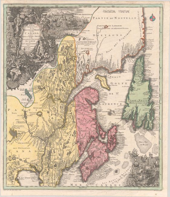
Auction 207, Lot 125
Subject: Colonial Northeastern United States & Canada
Seutter/Lotter
Partie Orientale de la Nouvelle France ou du Canada avec l'Isle de Terre-Neuve et de Nouvelle Escosse, Acadie et Nouv. Angleterre avec Fleuve de St. Laurence, 1756
Size: 19.4 x 22.6 inches (49.3 x 57.4 cm)
Estimate: $1,200 - $1,500
Unsold
Closed on 2/11/2026
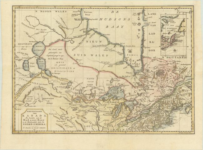
Auction 207, Lot 126
Subject: Colonial Northeastern United States & Canada
Tirion, Isaac
Nieuwe Kaart van Kanada, de Landen aan de Hudsons-Baay en de Noordwestelyke Deelen van Noord-Amerika, 1769
Size: 17.4 x 12.3 inches (44.2 x 31.2 cm)
Estimate: $350 - $425
Unsold
Closed on 2/11/2026
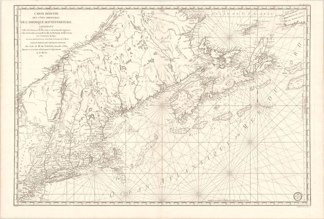
Auction 207, Lot 128
Subject: Colonial Northeastern United States & Canada
Sartine
Carte Reduite des Cotes Orientales de l'Amerique Septentrionale Contenant Celles des Provinces de New-York et de la Nouvelle Angleterre, Celles de l'Acadie ou Nouvelle Ecosse, de l'Ile Royale de l'Ile St. Jean..., 1780
Size: 34.3 x 23.1 inches (87.1 x 58.7 cm)
Estimate: $1,100 - $1,400
Revolutionary War-Era Sea Chart Covering New England & Eastern Canada
Unsold
Closed on 2/11/2026
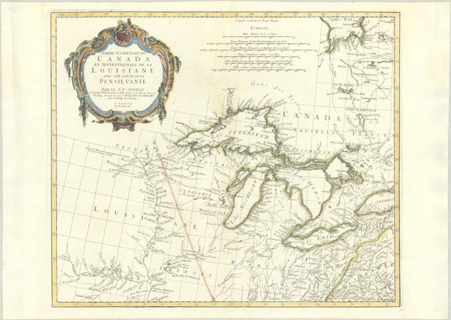
Auction 207, Lot 129
Subject: Colonial Central United States & Canada, Great Lakes
D'Anville/Santini
Partie Occidentale du Canada et Septentrionale de la Louisiane avec une Partie de la Pensilvanie, 1775
Size: 22.4 x 19 inches (56.9 x 48.3 cm)
Estimate: $900 - $1,100
Unsold
Closed on 2/11/2026
9 lots


