Filtered by Category:Atlantic & Arctic(Show All Categories)
Showing results for:Auction 167
Catalog Archive
6 lots
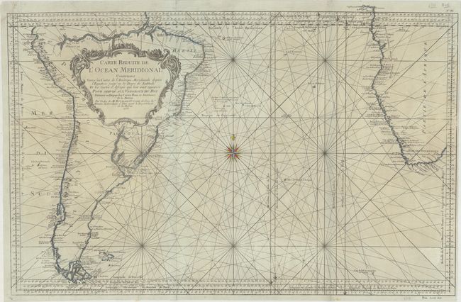
Auction 167, Lot 249
Subject: South Atlantic
Bellin, Jacques Nicolas
Carte Reduite de l'Ocean Meridional Contenant Toutes les Costes de l'Amerique Meridionale depuis l'Equateur … les Costes d'Afrique qui leur sont Opposees…, 1753
Size: 33.1 x 21.7 inches (84.1 x 55.1 cm)
Estimate: $325 - $400
Sold for: $170
Closed on 3/28/2018
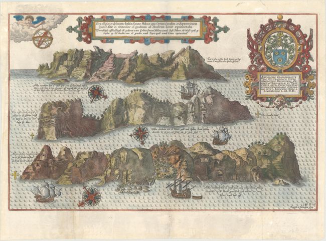
Auction 167, Lot 250
Subject: St. Helena
Linschoten, Jan Juygen van
Vera Effigies et Delineatio Insulae Sanctae Helenae, qua Ortum Occasum, et Septentrionem Spectat..., 1595
Size: 18.9 x 12.2 inches (48 x 31 cm)
Estimate: $550 - $650
Sold for: $400
Closed on 3/28/2018
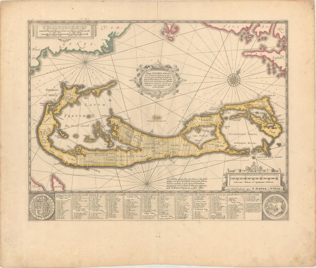
Auction 167, Lot 251
Subject: Bermuda
Jansson/Valck & Schenk
Mappa Aestivarum Insularum, Alias Barmudas Dictarum, ad Ostia Mexicani Aestuary..., 1700
Size: 19.9 x 15.2 inches (50.5 x 38.6 cm)
Estimate: $900 - $1,100
Sold for: $500
Closed on 3/28/2018
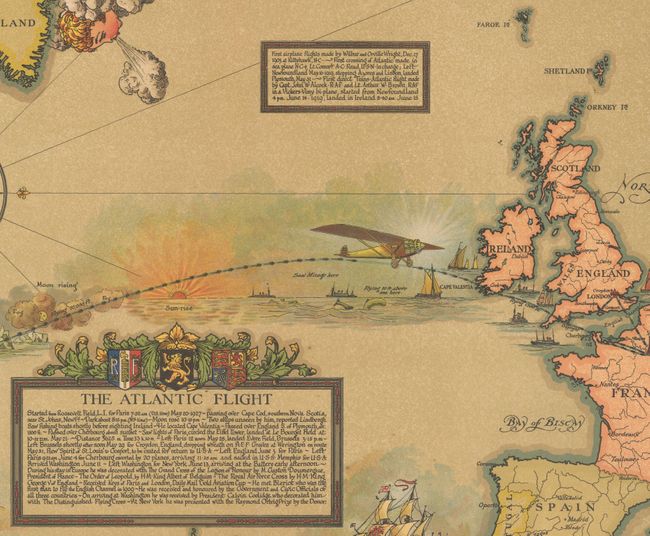
Auction 167, Lot 252
Subject: North America & North Atlantic
Map Showing the Overland and Overseas Flights of Charles A. Lindbergh Colonel and Flight Comdr. 110th Observation Sqdn. Missouri Nat. Guard, 1928
Size: 46 x 26.3 inches (116.8 x 66.8 cm)
Estimate: $1,400 - $1,800
Impressive Wall Map Chronicling Lindbergh's Career in Aviation
Sold for: $1,000
Closed on 3/28/2018
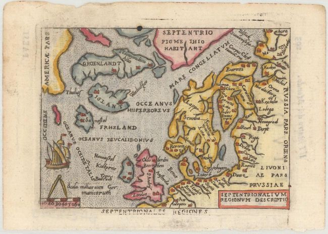
Auction 167, Lot 253
Subject: Arctic & Scandinavia
Ortelius/Marchetti
Septentrionalium Regionum Descriptio, 1667
Size: 4 x 2.9 inches (10.2 x 7.4 cm)
Estimate: $200 - $230
Sold for: $150
Closed on 3/28/2018
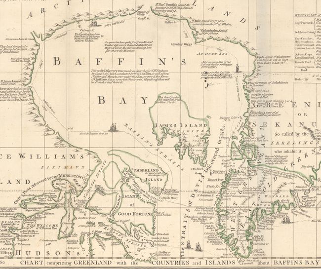
Auction 167, Lot 254
Subject: Arctic; Colonial Canada & Alaska; North Pacific
Jefferys/Sayer & Bennett
[A Chart of North and South America, Including the Atlantic and Pacific Oceans, with the Nearest Coasts of Europe, Africa, and Asia- Sheets I and II], 1775
Size: 43.6 x 17.9 inches (110.7 x 45.5 cm)
Estimate: $1,200 - $1,500
Sold for: $600
Closed on 3/28/2018
6 lots