Subject: Atlases
Period: 1848 (published)
Publication:
Color: Black & White
Size:
13.5 x 12.3 inches
34.3 x 31.2 cm
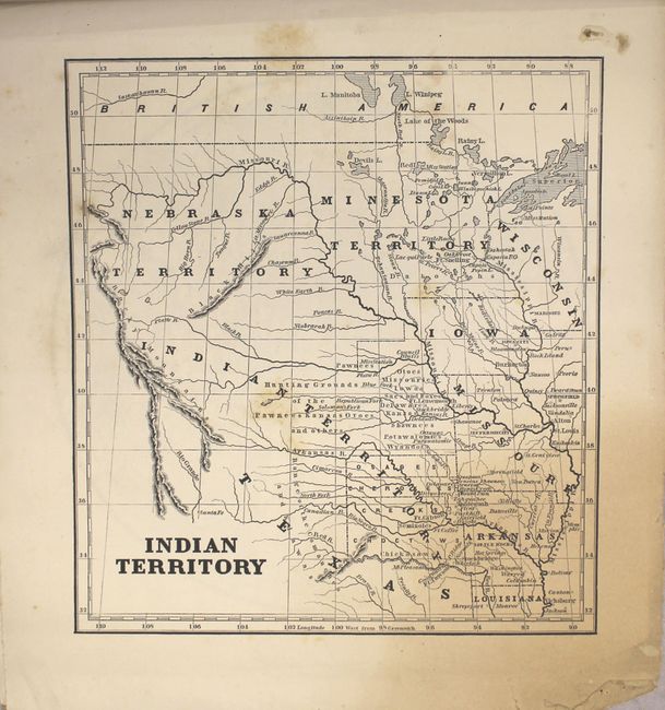
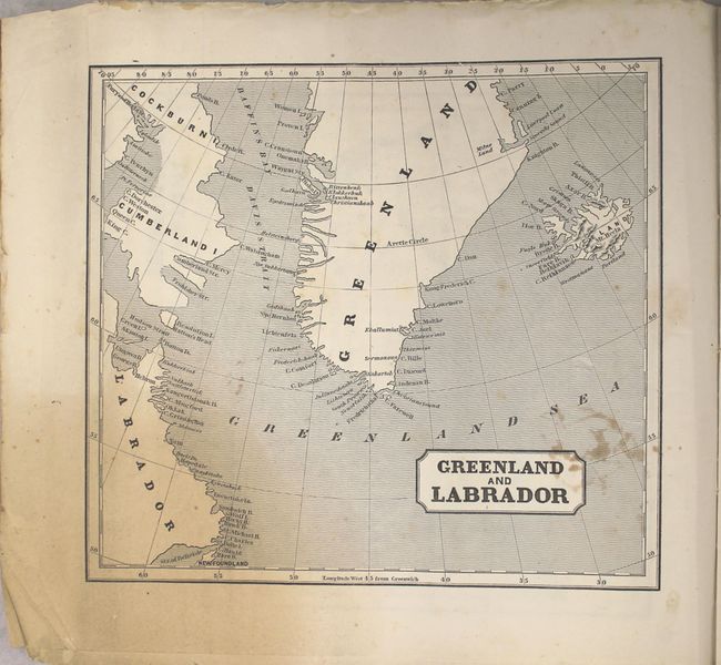
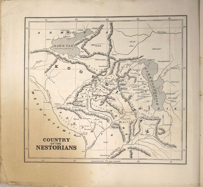
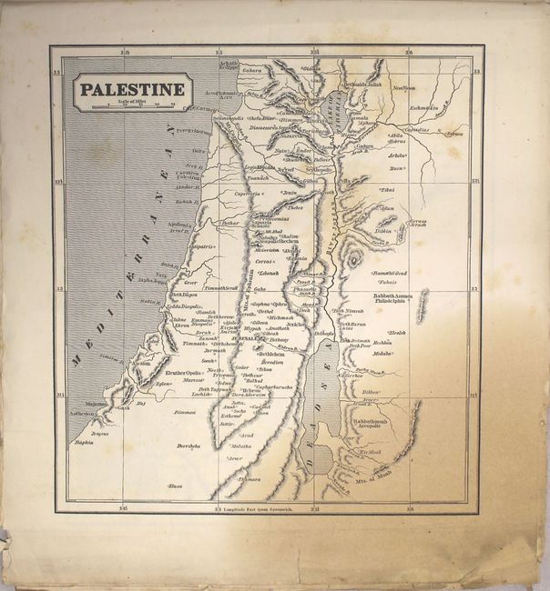
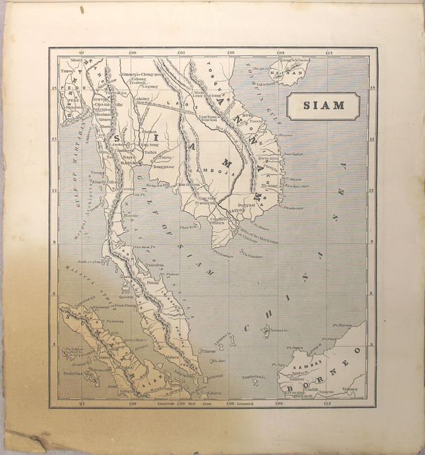
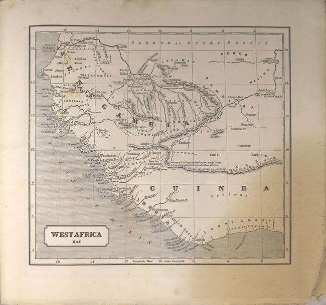
This scarce atlas contains 17 (of 18) wax-engraved maps depicting the locations of where missionary activities were organized across the world. Unusual for an atlas, Morse's maps highlight a number of remote regions of the world including Greenland and Labrador, Siam (Vietnam) and Country of Nestorians (Iraq). Of particular interest in North America is the map of Indian Territory which covers the middle of the country from the Great Lakes to the Rocky Mountains and identifies numerous Indian tribes, the river system and topography. The full list of maps (each approximately 10.4 x 9.4") include:
[Untitled Western Hemisphere]
[Untitled Eastern Hemisphere]
Indian Territory
Greenland and Labrador
Part of Asia Minor
Part of Syria
Palestine
Country of Nestorians
Northern Inida
Western India
Southern India
Bengal
Siam
China
West Africa No. I
West Africa No. II
South Africa
Hawaiian Islands (half map)
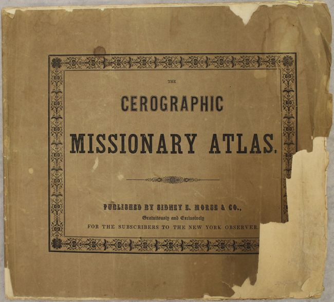
Oblong quarto with tan paper wrappers. Published "Gratuitously and Exclusively for the Subscribers to the New York Observer."
References: Phillips (A) #182; Ristow p. 154.
Condition: C+
There are damp stains in the bottom left corner of all the maps with several of the sheets having short edge tears that have been repaired on verso with archival tape. Half of the Hawaii map is missing and is not counted in the map total. There is overall scattered foxing with numerous edge chips confined to right blank margin. The covers are heavily chipped with some loss.