Catalog Archive
Auction 157, Lot 749
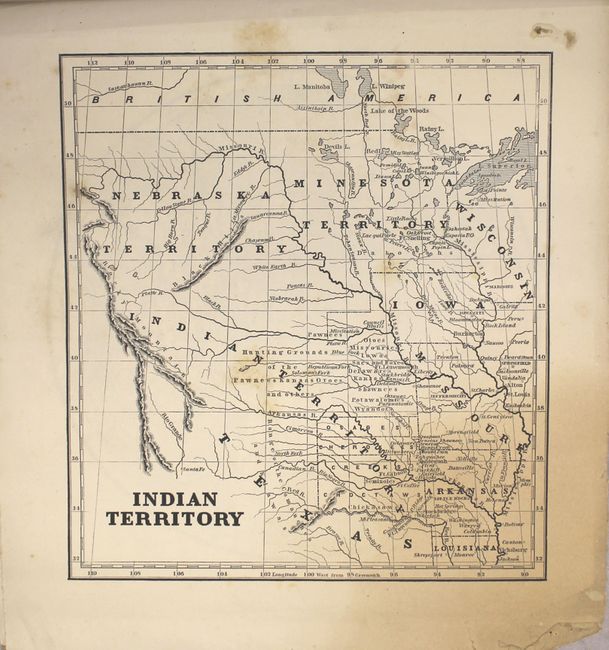
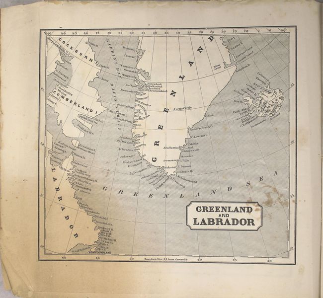
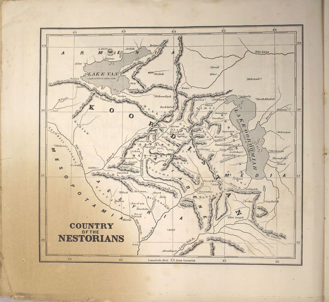
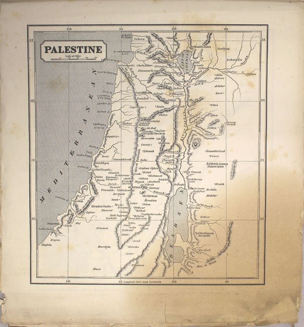
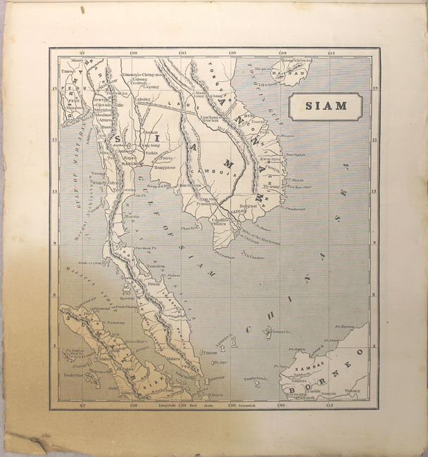
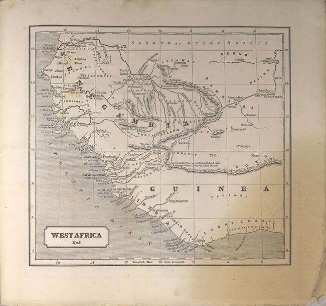
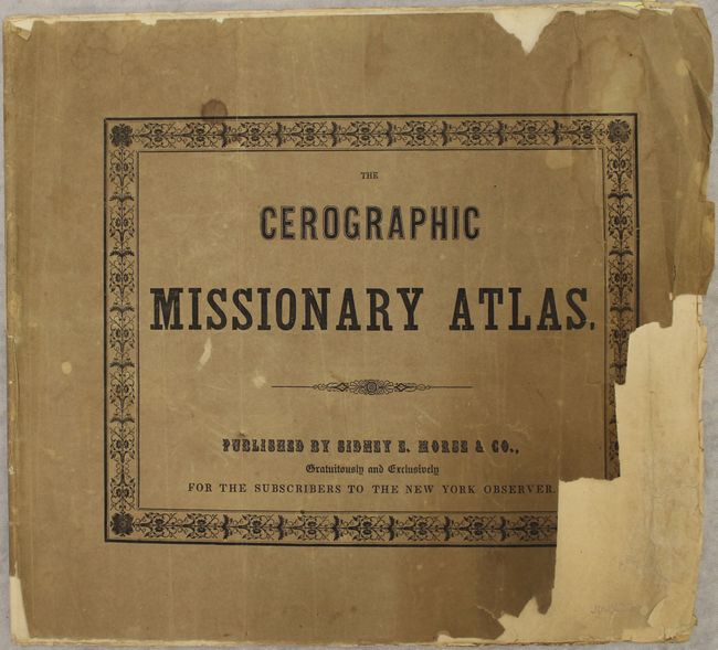
"The Cerographic Missionary Atlas", Morse, Sidney Edwards
1 of 7
Subject: Atlases
Period: 1848 (published)
Publication:
Color: Black & White
Size:
13.5 x 12.3 inches
34.3 x 31.2 cm
Download High Resolution Image
(or just click on image to launch the Zoom viewer)
(or just click on image to launch the Zoom viewer)