Catalog Archive
Auction 106, Lot 37

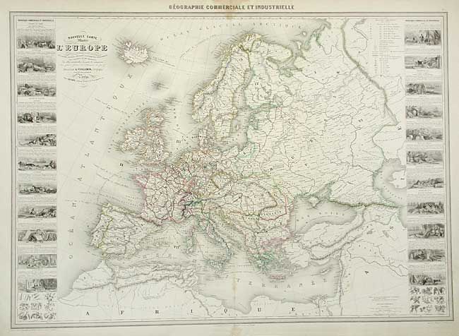
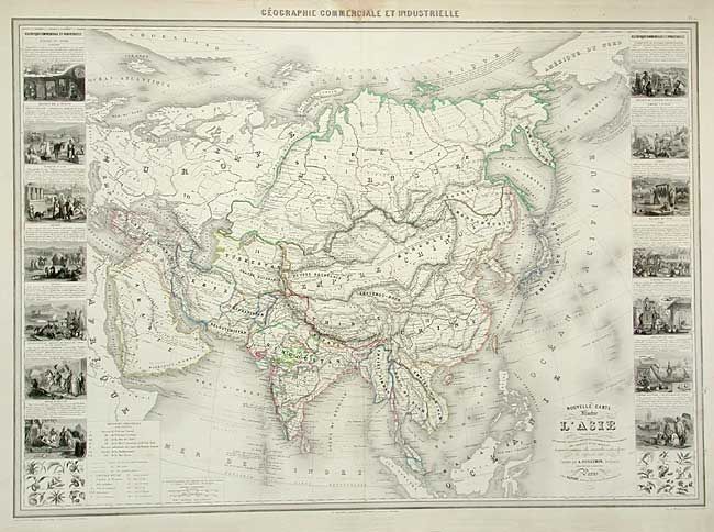
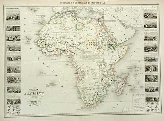
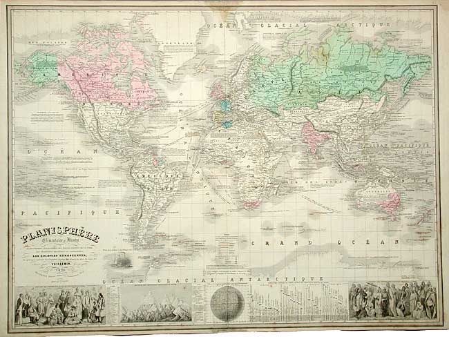
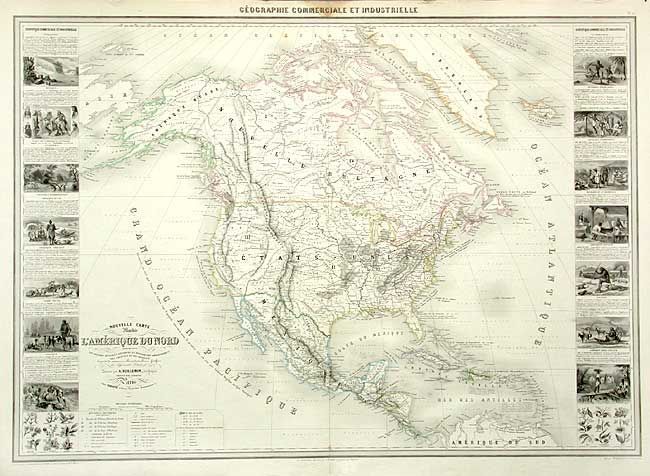
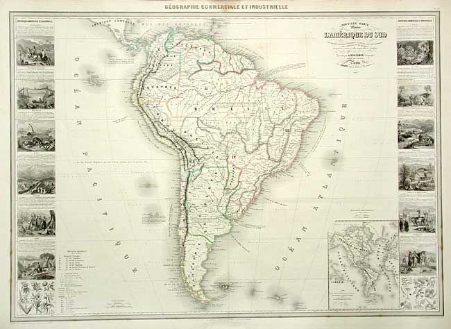
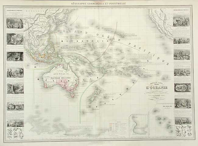
"[Lot of 7] Planisphere… [and] Nouvelle Carte Illustree de l'Amerique du Nord… [and] …l'Amerique du Sud... [and] ...l'Europe… [and] ...l'Afrique… [and] ...l'Asie… [and]... l'Oceanie…", Vuillemin, Alexander A.

Subject: World and Continents

Period: 1860-61 (dated)

Publication: Atlas Geographie Commerciale et Industrielle

Color: Hand Color

Size:
33 x 24 inches
83.8 x 61 cm
Download High Resolution Image
(or just click on image to launch the Zoom viewer)

Magnificent set of large charts from this scarce nineteenth century atlas. Each map is filled with an impressive array of information illustrating the physical and geographical divisions, shipping routes, colonial possessions, roads and railways, and the plant and mineral distributions. The world map includes a panel at bottom with vignettes of the races of man, heights of mountains and lengths of rivers. Each of the continental maps is flanked with side panels containing numerous meticulously engraved vignettes representing different countries or regions. Sizes vary slightly.

References:

Condition: B

Each with a damp stain at top center, just entering map and a little light foxing.

Estimate: $2,000 - $2,500

Unsold

Closed on 3/3/2004

Archived