Catalog Archive


Auction 106, Lot 37
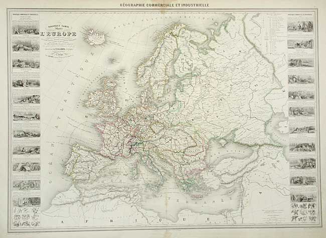
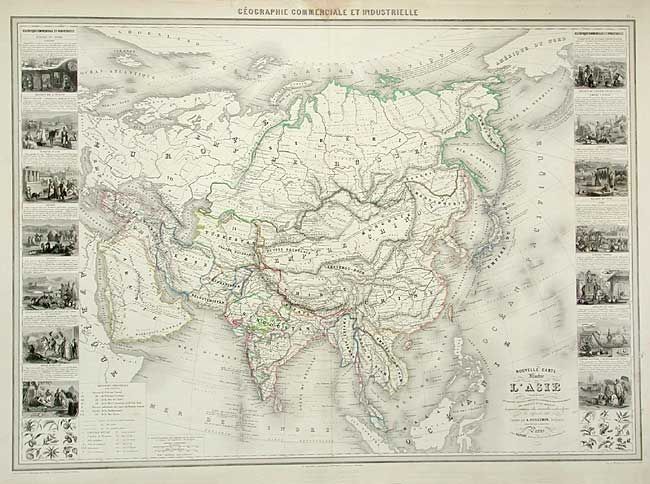
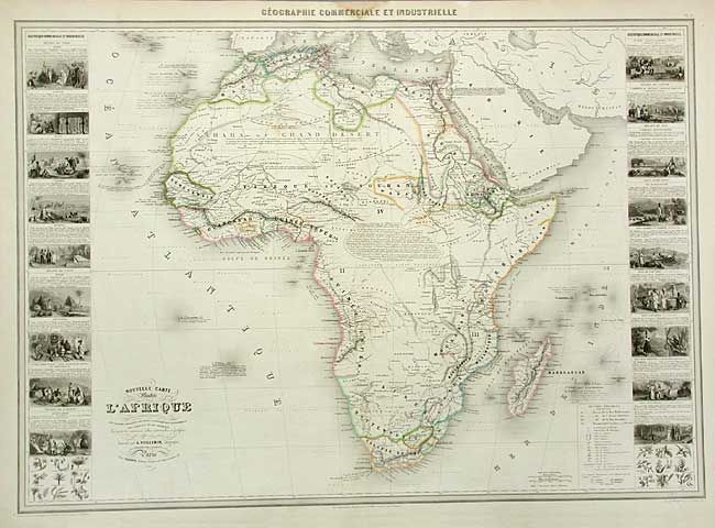
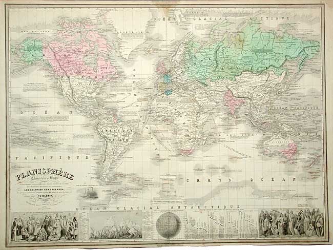
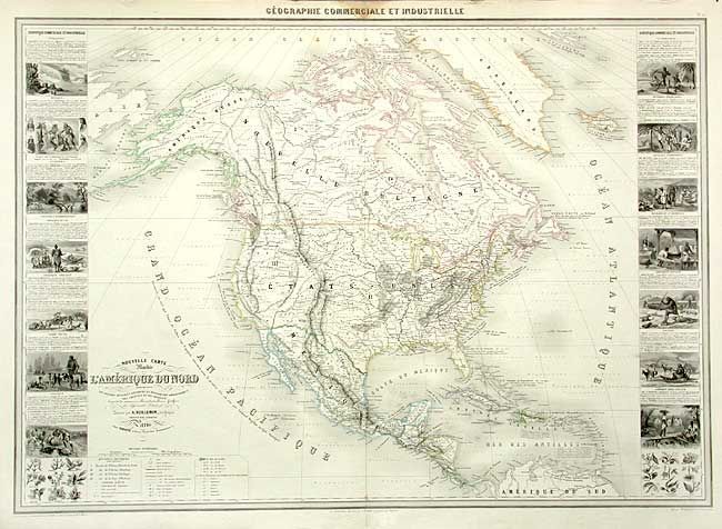
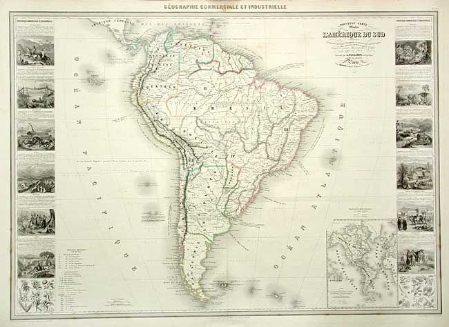
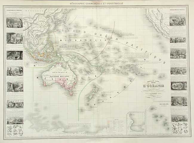
"[Lot of 7] Planisphere… [and] Nouvelle Carte Illustree de l'Amerique du Nord… [and] …l'Amerique du Sud... [and] ...l'Europe… [and] ...l'Afrique… [and] ...l'Asie… [and]... l'Oceanie…", Vuillemin, Alexander A.
Subject: World and Continents
Period: 1860-61 (dated)
Publication: Atlas Geographie Commerciale et Industrielle
Color: Hand Color
Size:
33 x 24 inches
83.8 x 61 cm
Download High Resolution Image
(or just click on image to launch the Zoom viewer)
(or just click on image to launch the Zoom viewer)
