Catalog Archive
Auction 101, Lot 219
"A New and Improved Chart of the West India or Carribbee Islands drawn from the Best Authorities by William Heather 1795", Heather, William
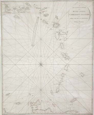
Subject: Lesser Antilles
Period: 1795 (dated)
Publication:
Color: Black & White
Size:
24.7 x 30.8 inches
62.7 x 78.2 cm
Download High Resolution Image
(or just click on image to launch the Zoom viewer)
(or just click on image to launch the Zoom viewer)