Catalog Archive
Auction 101, Lot 219

"A New and Improved Chart of the West India or Carribbee Islands drawn from the Best Authorities by William Heather 1795", Heather, William
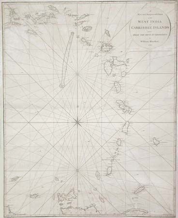
Subject: Lesser Antilles

Period: 1795 (dated)

Publication:

Color: Black & White

Size:
24.7 x 30.8 inches
62.7 x 78.2 cm
Download High Resolution Image
(or just click on image to launch the Zoom viewer)

Large, scarce navigation chart showing West Indies from the Virgin Islands to Ochilla Island (off the Venezuelan coast). Good detail of all the islands and banks with soundings, anchorages and navigational hazards. Chart is centered on a large compass rose.

References:

Condition: B

Backed with blue paper as issued. Some repairs in margins and just inside border and some creasing. In remarkably good condition for a working sea chart.

Estimate: $1,000 - $1,100

Sold for: $600

Closed on 12/4/2002

Archived