Filtered by Category:Canada(Show All Categories)
Catalog Archive
9 lots
Auction 206, Lot 108
Subject: Colonial Eastern United States & Canada
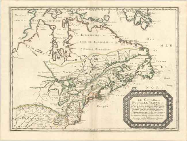
Sanson/Mariette
Le Canada, ou Nouvelle France, &c. ce qui est le Plus Advance Vers le Septentrion est Tire de Diverses Relations des Anglois, Danois, &c..., 1656
Size: 21.4 x 15.9 inches (54.4 x 40.4 cm)
Estimate: $4,000 - $4,750
Keystone Map for Great Lakes Collections
Unsold
Closed on 11/12/2025
Auction 206, Lot 109
Subject: Colonial Eastern United States & Canada
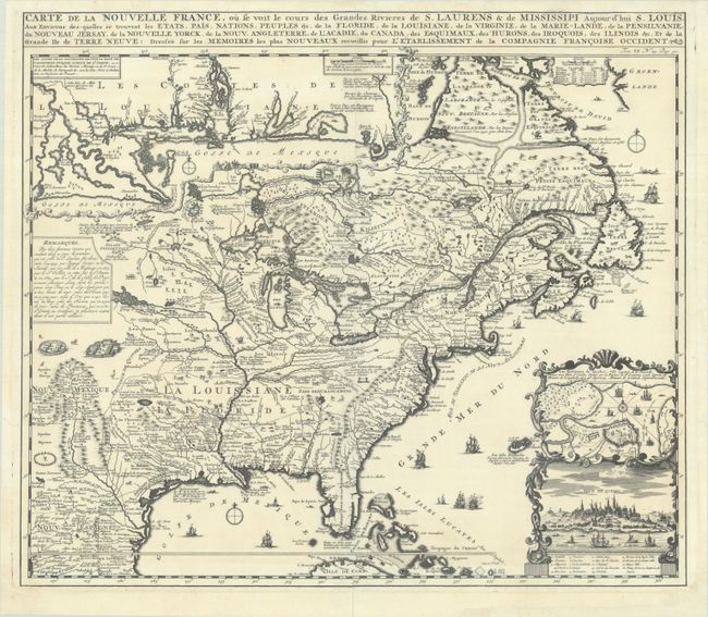
Chatelain, Henry Abraham
Carte de la Nouvelle France, ou se Voit le Cours des Grandes Rivieres de S. Laurens & de Mississipi Aujour d'hui S. Louis, aux Environs des-quelles se Trouvent les Etats, Pais, Nations, Peuples, &c. de la Floride, de la Louisiane, de la Virginie..., 1719
Size: 19.3 x 16.7 inches (49 x 42.4 cm)
Estimate: $2,000 - $2,300
One of the Most Informative 18th Century Maps of the French Possessions in North America
Unsold
Closed on 11/12/2025
Auction 206, Lot 110
Subject: Colonial Eastern United States & Canada
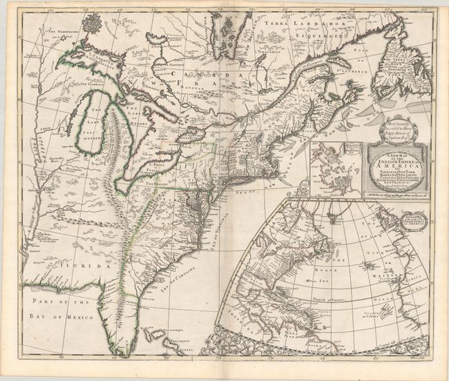
Senex, John
A New Map of the English Empire in America viz Virginia Maryland Carolina Pennsylvania New York New Iarsey New England Newfoundland New France &c., 1719
Size: 22.9 x 19.6 inches (58.2 x 49.8 cm)
Estimate: $2,400 - $3,000
Senex's Important Map of the American Colonies
Unsold
Closed on 11/12/2025
Auction 206, Lot 112
Subject: Colonial Eastern United States & Canada
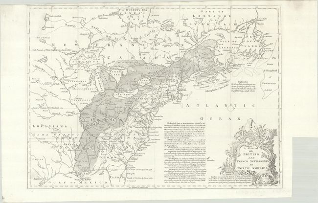
Lodge, John
A Map of the British and French Settlements in North America, 1755
Size: 15.2 x 10.9 inches (38.6 x 27.7 cm)
Estimate: $550 - $700
Unsold
Closed on 11/12/2025
Auction 206, Lot 115
Subject: Colonial Eastern United States & Canada
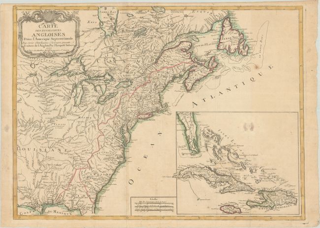
Imbert, J. Leopold
Carte des Possessions Angloises dans l'Amerique Septentrionale pour Servir d'Intelligence a la Guerre Presente Traduite de l'Anglois, 1777
Size: 29 x 21.3 inches (73.7 x 54.1 cm)
Estimate: $1,800 - $2,200
First Edition of Important Revolutionary War Map
Unsold
Closed on 11/12/2025
Auction 206, Lot 117
Subject: Eastern United States & Canada
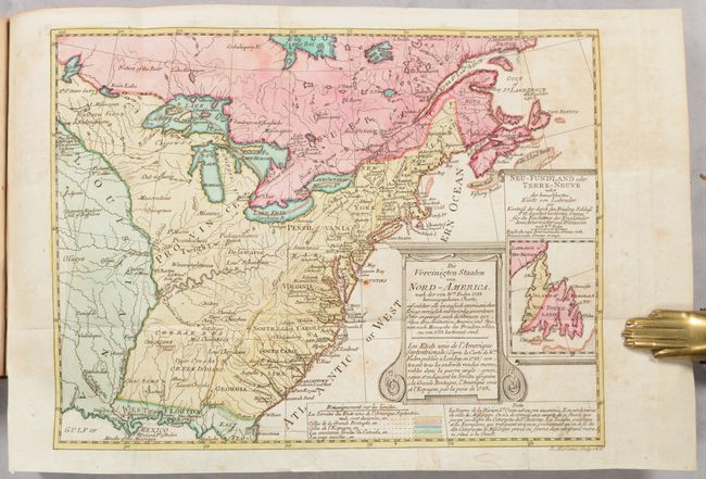
Sotzmann, Daniel Friedrich
[Map in Book] Die Vereinigten Staaten von Nord-America... / Les Etats Unis de l'Amerique Septentrionale... [in] Geschichte der Revolution von Nord-America..., 1788
Size: 10.1 x 7.7 inches (25.7 x 19.6 cm)
Estimate: $700 - $850
Rare, Multi-Lingual Reduced Version of Faden's Map of 1783
Unsold
Closed on 11/12/2025
Auction 206, Lot 119
Subject: Eastern United States & Canada
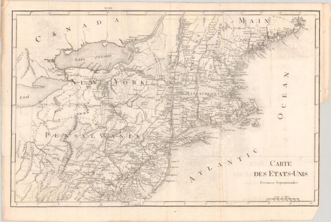
Rochefoucald Liancourt, Francois Alexander
[8 Volumes] Voyage dans les Etats-Unis d'Amerique, Fait en 1795, 1796 et 1797, 1799
Size: 5 x 8.2 inches (12.7 x 20.8 cm)
Estimate: $1,200 - $1,500
Unsold
Closed on 11/12/2025
Auction 206, Lot 122
Subject: Colonial Northeastern United States & Canada
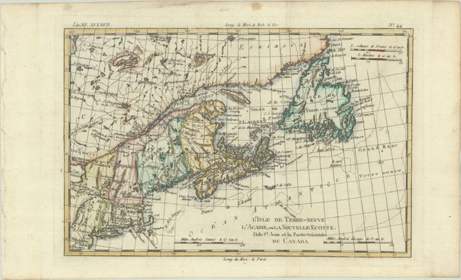
Bonne, Rigobert
L'Isle de Terre-Neuve l'Acadie, ou la Nouvelle Ecosse, l'Isle St. Jean et la Partie Orientale du Canada, 1780
Size: 12.5 x 8.3 inches (31.8 x 21.1 cm)
Estimate: $140 - $170
Unsold
Closed on 11/12/2025
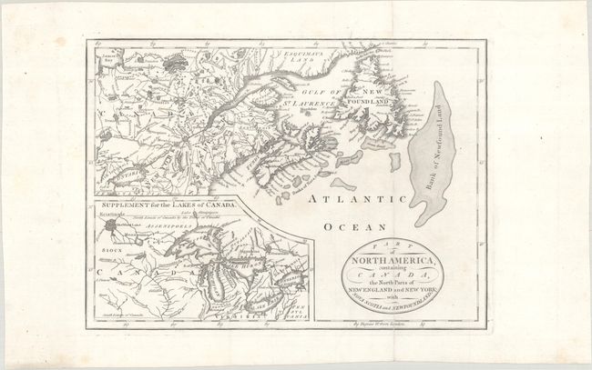
Auction 206, Lot 123
Subject: Northeastern United States & Canada, Great Lakes
Part of North America, Containing Canada, the North Parts of New England and New York; with Nova Scotia and Newfoundland, 1794
Size: 11.3 x 8.2 inches (28.7 x 20.8 cm)
Estimate: $160 - $190
Unsold
Closed on 11/12/2025
9 lots


