Showing No Reserve Lots(remove filter)
Filtered by Category:Books, Atlases, Travel Guides, Geography & Reference Books(Show All Categories)
Showing results for:Auction 190
Catalog Archive
15 lots
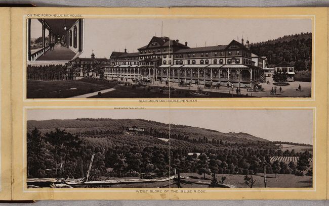
Auction 190, Lot 149
Subject: Mid-Atlantic United States
Railroad Companies, (Various)
Beauties of the Blue Ridge. (Western Maryland R.R. Scenery.), 1890
Size: 56 x 5.8 inches (142.2 x 14.7 cm)
Estimate: $90 - $120
NO RESERVE
Sold for: $23
Closed on 11/16/2022
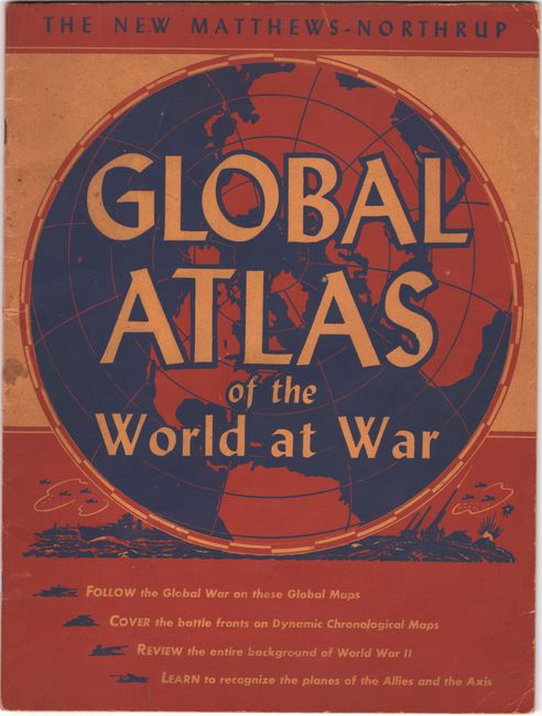
Auction 190, Lot 727
Subject: Atlases, World War II
Matthews-Northrup Co
The New Matthews-Northrup Global Atlas of the World at War, 1943
Size: 10.4 x 13.9 inches (26.4 x 35.3 cm)
Estimate: $35 - $50
NO RESERVE
Sold for: $24
Closed on 11/16/2022
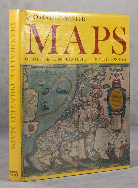
Auction 190, Lot 737
Subject: References
Skelton, R. A.
Decorative Printed Maps of the 15th to 18th Centuries, 1966
Size: 8.9 x 11.3 inches (22.6 x 28.7 cm)
Estimate: $75 - $95
NO RESERVE
Sold for: $11
Closed on 11/16/2022
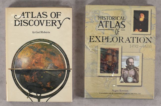
Auction 190, Lot 738
Subject: References
[Lot of 2] Atlas of Discovery [and] Historical Atlas of Exploration 1492-1600, 1973-2000
Size: See Description
Estimate: $20 - $35
NO RESERVE
Sold for: $41
Closed on 11/16/2022
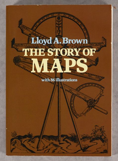
Auction 190, Lot 739
Subject: References
Brown, Lloyd Arnold
The Story of Maps, 1979
Size: 6.5 x 9.3 inches (16.5 x 23.6 cm)
Estimate: $20 - $35
NO RESERVE
Sold for: $1
Closed on 11/16/2022
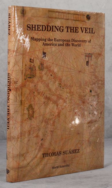
Auction 190, Lot 740
Subject: References
Suarez, Thomas
Shedding the Veil - Mapping the European Discovery of America and the World, 1992
Size: 8.8 x 11.8 inches (22.4 x 30 cm)
Estimate: $70 - $90
NO RESERVE
Sold for: $12
Closed on 11/16/2022
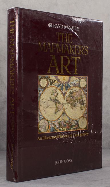
Auction 190, Lot 741
Subject: References
Goss, John
The Mapmaker's Art - An Illustrated History of Cartography, 1993
Size: 11 x 15 inches (27.9 x 38.1 cm)
Estimate: $100 - $130
NO RESERVE
Sold for: $55
Closed on 11/16/2022
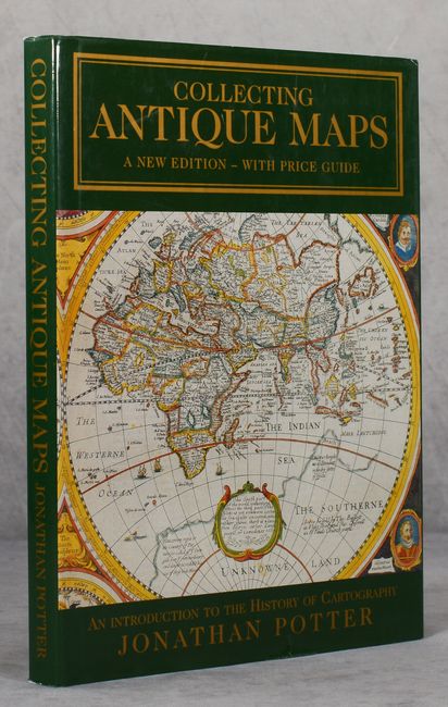
Auction 190, Lot 742
Subject: References
Potter, Jonathan
Collecting Antique Maps - An Introduction to the History of Cartography, 2001
Size: 8.9 x 12.1 inches (22.6 x 30.7 cm)
Estimate: $25 - $40
NO RESERVE
Sold for: $21
Closed on 11/16/2022
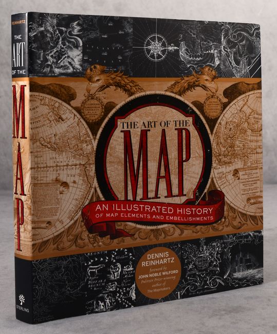
Auction 190, Lot 743
Subject: References
The Art of the Map - An Illustrated History of Map Elements and Embellishments, 2012
Size: 9.5 x 10.3 inches (24.1 x 26.2 cm)
Estimate: $20 - $40
NO RESERVE
Sold for: $31
Closed on 11/16/2022
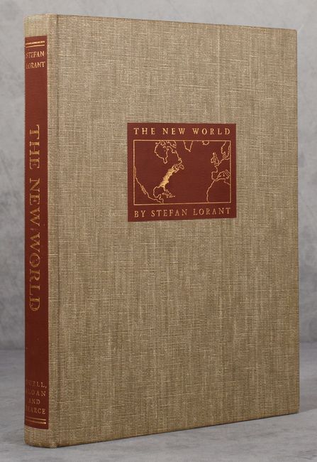
Auction 190, Lot 748
Subject: References, North America
Lorant, Stefan
The New World - The First Pictures of America Made by John White and Jacques Le Moyne and Engraved by Theodore De Bry..., 1946
Size: 9.2 x 12.3 inches (23.4 x 31.2 cm)
Estimate: $40 - $60
NO RESERVE
Sold for: $23
Closed on 11/16/2022
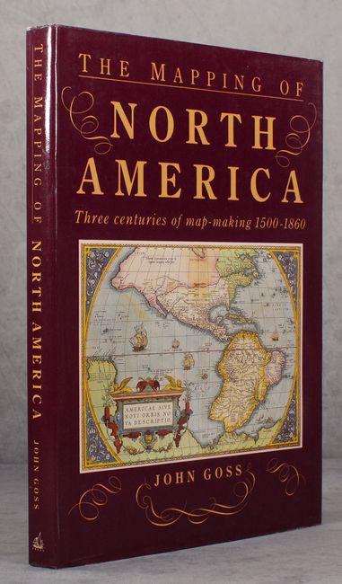
Auction 190, Lot 749
Subject: References, North America
Goss, John
The Mapping of North America - Three Centuries of Map-Making 1500-1860, 1990
Size: 10.4 x 14.4 inches (26.4 x 36.6 cm)
Estimate: $60 - $75
NO RESERVE
Sold for: $22
Closed on 11/16/2022
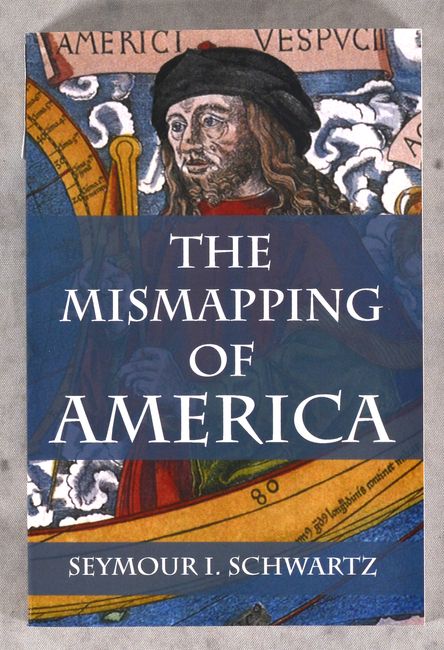
Auction 190, Lot 752
Subject: References, United States
The Mismapping of America, 2008
Size: 6 x 9 inches (15.2 x 22.9 cm)
Estimate: $15 - $30
NO RESERVE
Sold for: $49
Closed on 11/16/2022
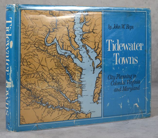
Auction 190, Lot 754
Subject: References, Virginia & Maryland
Reps, John W.
Tidewater Towns - City Planning in Colonial Virginia and Maryland, 1972
Size: 12.3 x 9.3 inches (31.2 x 23.6 cm)
Estimate: $40 - $60
NO RESERVE
Sold for: $36
Closed on 11/16/2022
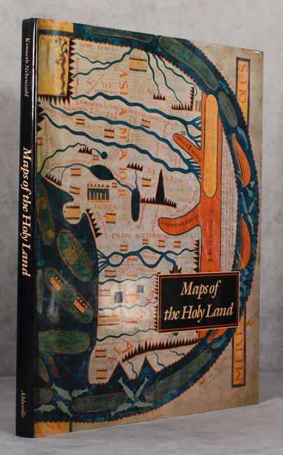
Auction 190, Lot 756
Subject: References, Holy Land
Nebenzahl, Kenneth
Maps of the Holy Land - Images of Terra Sancta Through Two Millennia, 1986
Size: 12.2 x 15.3 inches (31 x 38.9 cm)
Estimate: $90 - $110
NO RESERVE
Sold for: $16
Closed on 11/16/2022
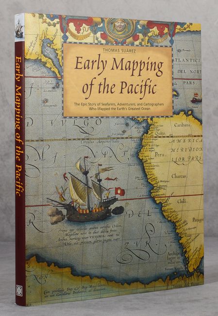
Auction 190, Lot 757
Subject: References, Pacific Ocean
Suarez, Thomas
Early Mapping of the Pacific - The Epic Story of Seafarers, Adventurers, and Cartographers Who Mapped the Earth’s Greatest Ocean, 2004
Size: 9.4 x 12.3 inches (23.9 x 31.2 cm)
Estimate: $80 - $100
NO RESERVE
Sold for: $36
Closed on 11/16/2022
15 lots