Catalog Archive
Auction 99, Lot 387
"Carte Des Pais Habites par Les Samojedes et Ostiacs", Bellin, Jacques Nicolas
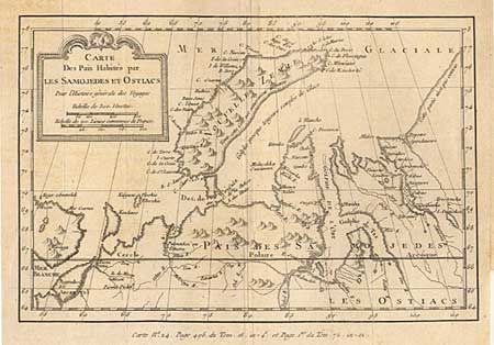
Subject: Russia in Europe
Period: 1750 (circa)
Publication: Histoire Generale des Voyages
Color: Black & White
Size:
9.5 x 6.2 inches
24.1 x 15.7 cm
Download High Resolution Image
(or just click on image to launch the Zoom viewer)
(or just click on image to launch the Zoom viewer)