Catalog Archive
Auction 99, Lot 177
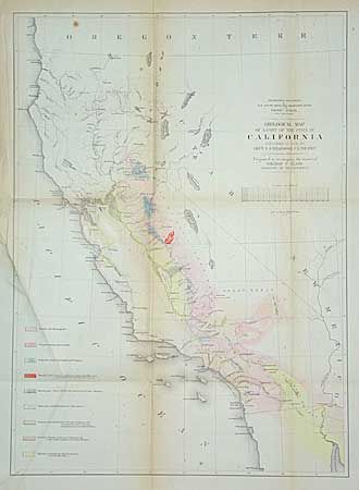
"Geological Map of a Part of the State of California Explored in 1853 by Lieut. R.S. Williamson U.S. Top. Engr.", Blake, W. P.
Subject: California
Period: 1856 (circa)
Publication: Vol. V of the U.S. Pacific Railroad Survey
Color: Hand Color
Size:
16 x 22.2 inches
40.6 x 56.4 cm
Download High Resolution Image
(or just click on image to launch the Zoom viewer)
(or just click on image to launch the Zoom viewer)