Catalog Archive
Auction 99, Lot 140
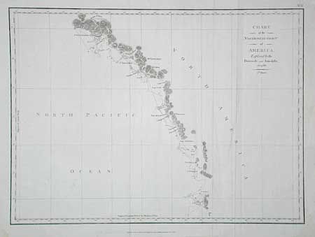
"Chart of the Northwest Coast of America, Explored by the Boussole and Astrolabe in 1786", La Perouse, Comte Jean F. Galoup, de
Subject: Western Canada
Period: 1798 (dated)
Publication:
Color: Black & White
Size:
19.2 x 14.1 inches
48.8 x 35.8 cm
Download High Resolution Image
(or just click on image to launch the Zoom viewer)
(or just click on image to launch the Zoom viewer)