Catalog Archive
Auction 98, Lot 267

"Le Cours de la Riviere du Rhein depuis sa Sources jusques a son Emboucheure ou sont distingues Tous les Etats et Souverainetes…", Sanson/Jaillot

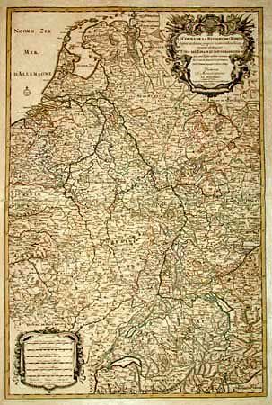
Subject: Central Europe

Period: 1692 (dated)

Publication: Atlantic Neptune Atlas

Color: Hand Color

Size:
22.5 x 33.5 inches
57.2 x 85.1 cm
Download High Resolution Image
(or just click on image to launch the Zoom viewer)

Huge, handsome map that details the course of the Rhine River, from its source in Switzerland, through Germany to its mouth on the North Sea, in the Netherlands. Also shows part of France and Belgium. The map is extremely detailed with mountains, rivers, forests, cities and villages. Decorative (uncolored) title and scale of miles cartouches. This being a larger version than the normally seen folio map with identical title that is from the Atlas Nouveau.

References: Phillips (A) 514.

Condition: B

Mounted on linen. Beautiful impression that is crisp and black. Scattered foxing/toning throughout.

Estimate: $400 - $600

Sold for: $300

Closed on 3/6/2002

Archived