Catalog Archive
Auction 98, Lot 117
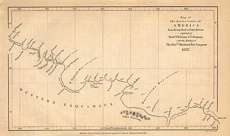
"Map of the Arctic Coast of America from return Reef to Point Barrow explored by Mess.rs P.W. Dease & T. Simpson under the direction of the Hon.ble Hudson's Bay Company", Royal Geographical Society
Subject: Canada and Alaska
Period: 1838 (dated)
Publication:
Color: Black & White
Size:
7.8 x 4.5 inches
19.8 x 11.4 cm
Download High Resolution Image
(or just click on image to launch the Zoom viewer)
(or just click on image to launch the Zoom viewer)