Catalog Archive
Auction 97, Lot 189

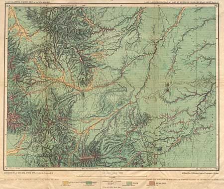
"U.S. Geographical Surveys of the 100th Meridian - Land Classification Map of Part of Southern Colorado, Atlas Sheet No. 62", Wheeler, Geo.

Subject: Colorado

Period: 1878 (dated)

Publication:

Color: Printed Color

Size:
19.2 x 15 inches
48.8 x 38.1 cm
Download High Resolution Image
(or just click on image to launch the Zoom viewer)

An attractive map of southern Colorado showing the distribution of timber, grazing, agricultural and arid lands in the vicinity of Spanish Peaks and Colorado City. This chart was included in Lt. George Wheeler's report, one of the four great western surveys, intended to correct topographical knowledge of the region. Wheeler's survey was commission by the U.S. Army Corp. of Engineers. .

References:

Condition: B

Minor toning along folds with tissue reinforcements on verso.

Estimate: $100 - $130

Sold for: $90

Closed on 12/5/2001

Archived