Catalog Archive
Auction 96, Lot 580

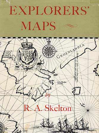
"Explorer's Maps", Skelton, R. A.

Subject: Cartographic Reference

Period: 1960 (published)

Publication: Routledge and Regan Paul

Color:

Size:
7.8 x 10 inches
19.8 x 25.4 cm
Download High Resolution Image
(or just click on image to launch the Zoom viewer)

History of cartography revealed in the maps of travelers and explorers. This pictorial history, with a compilation of the maps devised and used by early explorers, shows the mutual influence of maps upon those explorers and of those voyages upon later maps. Second edition, 337 pp, 219 B&W illustrations many being full-page and some double-page. Hard bound in yellow cloth with dj.

References:

Condition: A

Dust jacket has a few folds and tears, repaired with tape.

Estimate: $50 - $75

Sold for: $80

Closed on 9/12/2001

Archived