Subject: Atlas
Period: 1912 (published)
Publication:
Color: Printed Color
Size:
12 x 14.5 inches
30.5 x 36.8 cm
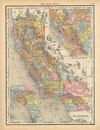
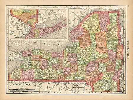
Complete world atlas with 65 maps (including all U.S. states) and an extra large folding map of Pennsylvania bound into the back. The atlas is complete with fine contents. However, the extra Pennsylvania map is completely ruined. An unlisted map, "New Travelers Chart and Distance Table of the World" (40" x 13"), is bound into the back as well and is in good condition. It is filled with information, tables and distance scales. This map and the title page have "Free Library of Philadelphia" stamp. Maps are printed front & back. 154 pages. Hardbound with green cloth covers with gold lettering on spine. Library rebound with library catalog number on spine.
References:
Condition: A